Photo: Wikipedia
Strategic Assessment of Washington County
Workable tactical position. Some exposure to population density or targets, but generally defensible in a crisis.
What does the Strategic Assessment tell us?
Our Strategic Assessment grades tactical survivability of an area. Major population centers, military targets, fallout zones, natural disasters, and border exposure all drive risk — lower exposure means a more defensible position in a crisis.
This is heavily inspired by Joel Skousen's Strategic Relocation book. Highly recommended you checkout the book ($)What does this tell us?
Our Strategic Assessment grades tactical survivability of an area. Major population centers, military targets, fallout zones, natural disasters, and border exposure all drive risk — lower exposure means a more defensible position in a crisis.
This is heavily inspired by Joel Skousen's Strategic Relocation book. Highly recommended you checkout the book ($)Strategic Pillars

Key Distances
Strategic Assessment Analysis
Washington County, Utah, offers a strategic relocation option for those prioritizing resilience, geographic isolation, and a conservative cultural foundation in an era of increasing uncertainty. Situated in the state’s southwestern corner, this region combines low population density with access to critical natural resources, while remaining far removed from the major metropolitan corridors—like Los Angeles, Phoenix, or Salt Lake City—that are likely to become chokepoints during civil unrest or supply chain disruptions. The county’s rugged terrain, strong local governance, and growing but manageable infrastructure make it a viable base for individuals and families seeking a defensible, self-sufficient lifestyle without complete detachment from modern amenities.
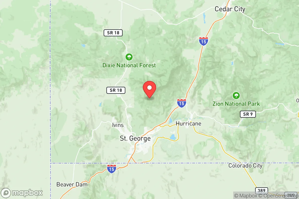
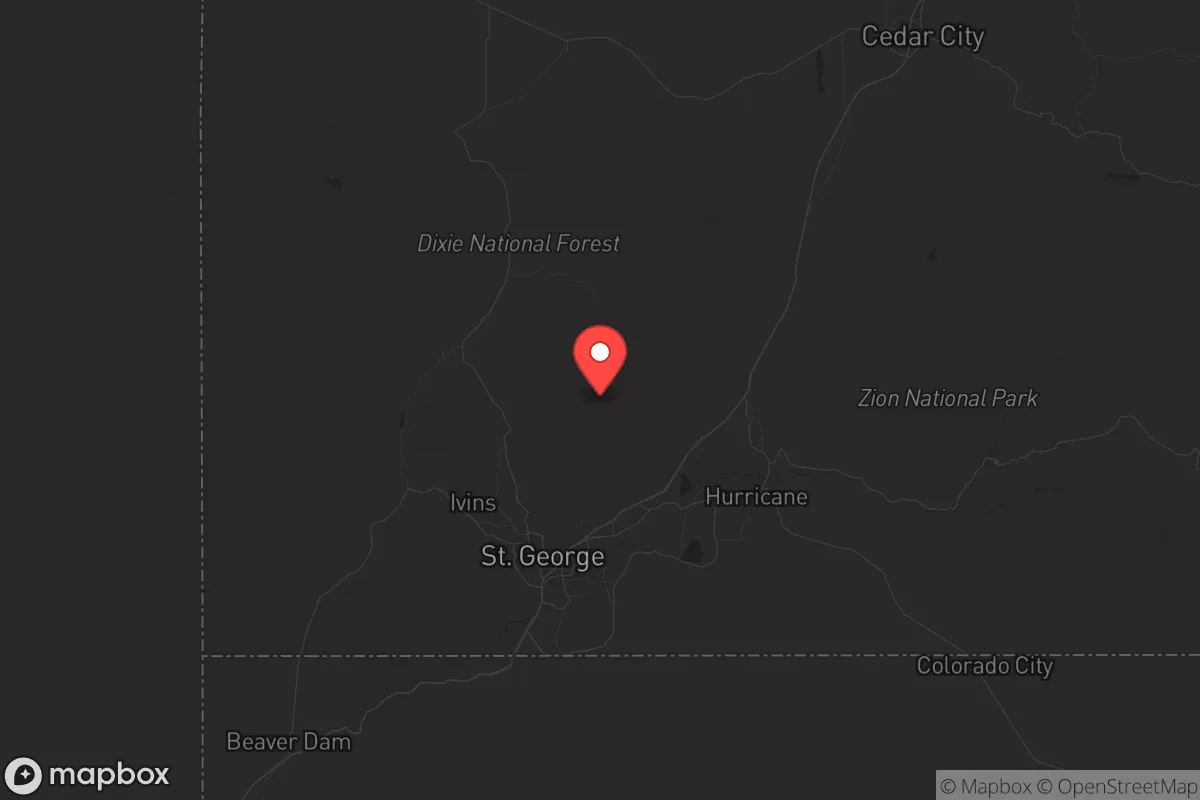
Geographic position and natural advantages for long-term security
Washington County’s location is its primary strategic asset. Bounded by the Pine Valley Mountains to the north, the Virgin River Gorge to the east, and the Mojave Desert to the south, the area offers natural barriers that slow movement and provide defensible perimeters. The county seat, St. George, sits at roughly 2,800 feet elevation, providing a moderate climate that avoids the extreme cold of northern Utah while still offering four distinct seasons—critical for sustainable agriculture and water management. The nearby Zion National Park and Snow Canyon State Park are not just scenic assets; they represent vast, undeveloped buffer zones that complicate any large-scale approach by hostile actors. For a relocator, this means you’re not boxed in by suburbs or industrial sprawl. The region’s proximity to the Arizona Strip—the sparsely populated area north of the Grand Canyon—offers additional fallback options if you need to bug out further south. Unlike the Wasatch Front, which is a single narrow corridor vulnerable to earthquakes and gridlock, Washington County’s road network (I-15, SR-9, SR-18) provides multiple egress routes toward Nevada or Arizona, though none are ideal for mass evacuation—which, in a survival context, is actually a feature, not a bug.
Risks, exposures, and proximity to fallout-relevant landmarks
No location is risk-free, and Washington County has specific vulnerabilities that a strategic relocator must weigh. The most immediate concern is water scarcity. The Virgin River system, which supplies St. George and surrounding communities like Hurricane and Washington City, is already over-allocated under the Colorado River Compact. A prolonged drought or upstream contamination event could stress municipal supplies. On the positive side, the county sits far from any major nuclear power plant—the nearest is Palo Verde in Arizona, roughly 250 miles south—and well outside the blast or fallout zones of any major military installation. Hill Air Force Base near Ogden is over 300 miles north, and the Nevada National Security Site (former nuclear test range) is about 150 miles west, but prevailing winds blow away from Washington County. The bigger risk is proximity to Las Vegas, just 120 miles southwest. In a societal collapse scenario, Vegas would become a massive, resource-starved population center pushing refugees outward. The I-15 corridor from Vegas to St. George is a natural funnel, and the Virgin River Gorge—a narrow canyon just south of the Arizona border—could become a chokepoint for both movement and ambush. For a conservative prepper, the takeaway is clear: you need to be prepared to defend your perimeter from the south, and you should have a plan to secure your water supply independent of the municipal grid.
Practical resilience for a relocator: food, water, energy, and defensibility
For a family or individual serious about self-sufficiency, Washington County offers a mixed but workable picture. Water is the linchpin. While the municipal supply is vulnerable, the region has significant groundwater in the Hurricane Fault zone and the Virgin River alluvial aquifer. Many rural properties near Toquerville or Leeds have access to private wells, though drilling depths can exceed 500 feet. Rainwater catchment is legal and practical, given the area’s 8-12 inches of annual precipitation, but you’ll need storage capacity for the dry months. Food production is limited by the arid climate, but the county’s growing season (March through October) supports hardy crops like beans, squash, and fruit trees. The Washington County Water Conservancy District has been proactive in building reservoirs—like the Sand Hollow Reservoir near Hurricane—which provide both recreation and emergency storage. Energy is a bright spot. The region averages over 300 sunny days per year, making solar a no-brainer. Net metering is available through Rocky Mountain Power, and off-grid setups are feasible with battery storage. Natural gas is piped into St. George, but rural areas rely on propane. For defensibility, the terrain works in your favor. The county is a patchwork of mesas, canyons, and valleys. Properties in the Santa Clara or Ivins areas, tucked against the Red Cliffs Desert Reserve, offer natural cover and limited access points. The local culture—heavily LDS (Mormon) and politically conservative—means a strong tradition of community mutual aid, food storage, and preparedness. That’s a social asset you can’t buy. However, the county’s population has grown rapidly (over 30% since 2010), and new subdivisions are creeping into formerly open land. If you’re looking for a remote homestead, aim for the Central or Pine Valley areas, where parcels are larger and neighbors are fewer.
The overall strategic picture for Washington County is one of calculated trade-offs. You get genuine geographic isolation, a conservative and prepared population, and a climate that supports year-round activity—all within a day’s drive of major medical and supply hubs in St. George. The downsides are real: water scarcity, a single vulnerable highway corridor from the south, and the creeping urbanization of the St. George metro area. For a relocator who values community resilience over absolute wilderness, and who is willing to invest in private water and solar infrastructure, this county ranks as one of the better options in the Intermountain West. It’s not a bug-out location for the lone wolf—it’s a place to build a network, dig a well, and keep your powder dry.
* Values derived from national, state, county, city and local statistics and may differ in a specific area. Last updated: 2026-05-14T12:38:31.000Z
Narrative content on this page is AI-generated and may contain mistakes. Verify any details that matter before acting on them.
ReloMaps may earn a commission from affiliate links at no extra cost to you.