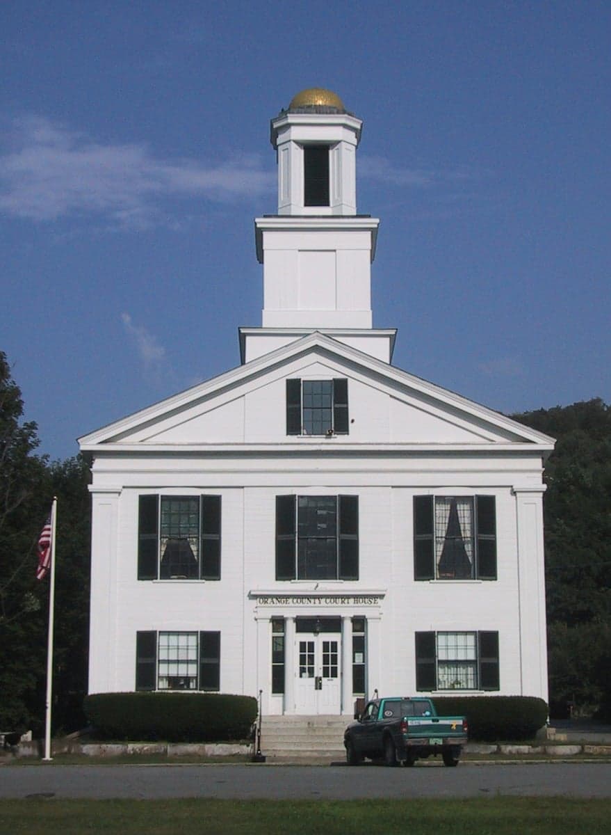
Photo: Wikipedia
Strategic Assessment of Orange County
Workable tactical position. Some exposure to population density or targets, but generally defensible in a crisis.
What does the Strategic Assessment tell us?
Our Strategic Assessment grades tactical survivability of an area. Major population centers, military targets, fallout zones, natural disasters, and border exposure all drive risk — lower exposure means a more defensible position in a crisis.
This is heavily inspired by Joel Skousen's Strategic Relocation book. Highly recommended you checkout the book ($)What does this tell us?
Our Strategic Assessment grades tactical survivability of an area. Major population centers, military targets, fallout zones, natural disasters, and border exposure all drive risk — lower exposure means a more defensible position in a crisis.
This is heavily inspired by Joel Skousen's Strategic Relocation book. Highly recommended you checkout the book ($)Strategic Pillars

Key Distances
Strategic Assessment Analysis
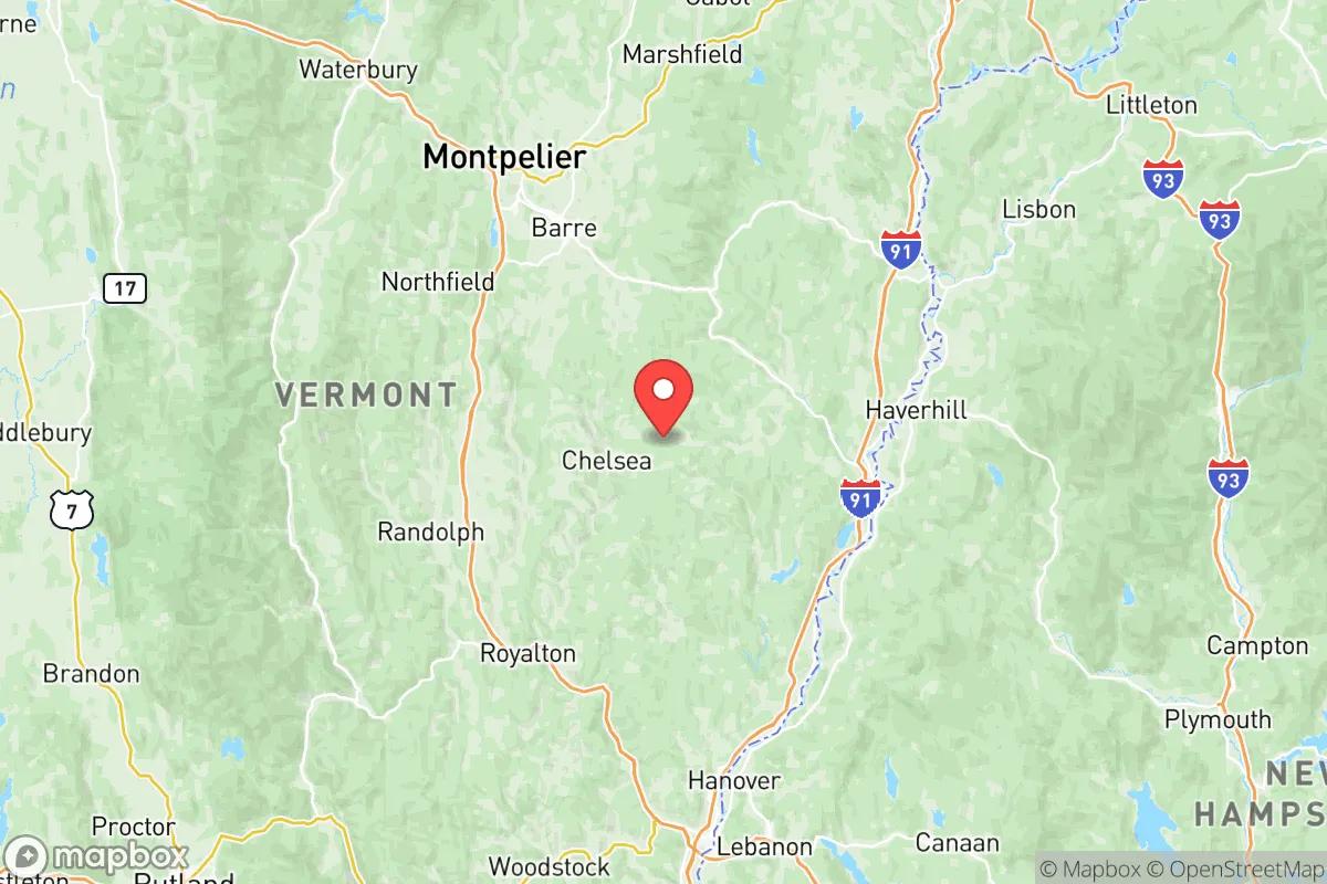
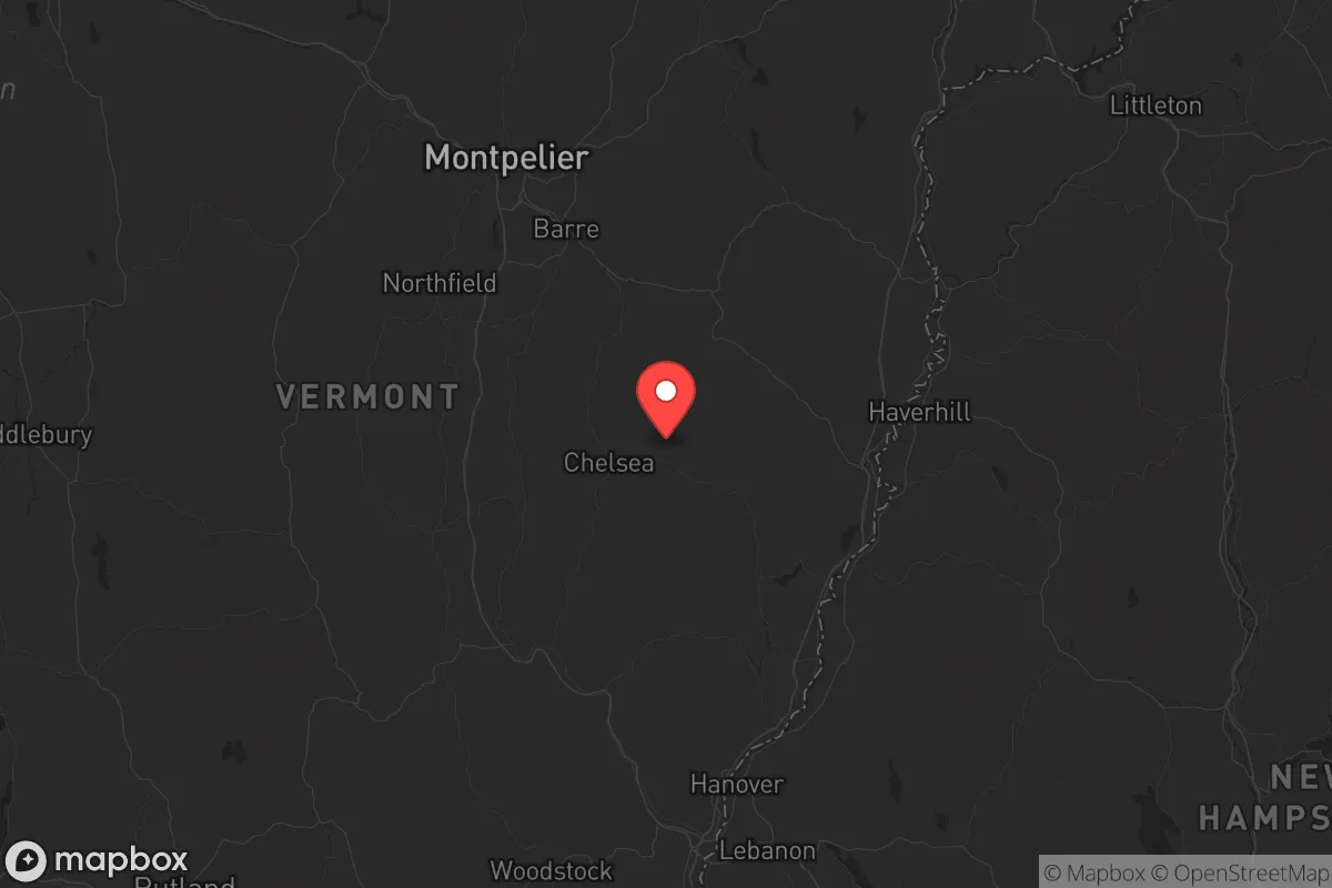
Orange County, Vermont, offers a strategic relocation option for those prioritizing resilience and distance from major metropolitan vulnerabilities, though it is not without its own considerations. Located in the central-eastern part of the state, the county provides a buffer from the densest population centers of the Northeast while maintaining access to essential resources and regional infrastructure. Its landscape of rolling hills, working forests, and the Connecticut River Valley supports a self-reliant lifestyle, but the area’s proximity to certain critical infrastructure and its own economic dependencies require careful assessment for anyone serious about long-term preparedness.
Geographic position and natural advantages for long-term security
Orange County’s geography is defined by the Connecticut River forming its eastern border, which provides a reliable water source and a natural boundary. The county’s interior, including towns like Randolph, Bradford, and Williamstown, sits on a plateau of fertile valleys and forested ridges, offering defensible terrain and multiple egress routes via U.S. Route 2 and Interstate 89. This positioning places it roughly 30–40 miles from the New Hampshire border and 50 miles from the Massachusetts line, creating a layered buffer from coastal threats like storm surges or port-related disruptions. The Green Mountain National Forest lies just west of the county, providing a vast, sparsely populated wilderness corridor for hunting, foraging, and retreat if needed. The region’s cold winters and deep snowpack act as natural deterrents to transient populations, while the growing season—though short—supports small-scale agriculture, with local farms in Tunbridge and Vershire already producing hay, vegetables, and livestock. For a relocator, the key advantage is the ability to live off-grid: well water, septic systems, and wood heat are common, and solar potential is adequate for most homesteads.
Risks, exposures, and proximity to fallout-relevant landmarks
No location is immune to risk, and Orange County has its own exposure profile. The most significant concern is the Vermont Yankee Nuclear Power Plant site in Vernon, about 60 miles south of the county line. While decommissioned, the spent fuel remains stored on-site, and any catastrophic event—whether natural or man-made—could release radioactive material. The prevailing winds from the south-southwest mean a plume could theoretically reach southern Orange County within hours. Additionally, the Saint-Gobain Performance Plastics facility in North Bennington (about 80 miles southwest) has a history of PFOA contamination, highlighting industrial risks even in rural areas. The county’s own infrastructure is limited: the Randolph Center area hosts a major propane storage facility, and the Bradford rail yard sees freight traffic carrying chemicals and fuels. Interstate 89, which cuts through the county, is a primary evacuation route for the Burlington metro area (population ~50,000), meaning any crisis in the state’s largest city could push refugees northward through Orange County. The White River Junction area, just south of the county, is a transportation hub that could become a chokepoint. For the prepper, these risks are manageable with proper planning—maintaining a 50-mile buffer from the nuclear site and having alternate routes off the main highways—but they cannot be ignored.
Practical resilience for a relocator: food, water, energy, and defensibility
For a single individual or family looking to establish a resilient homestead, Orange County offers strong fundamentals. Water is abundant: the Connecticut River and its tributaries (the White, Ompompanoosuc, and Waits rivers) provide surface water, while most properties have access to groundwater via wells. The county’s average annual precipitation of 40 inches supports rain catchment systems. Food security is viable through local agriculture—the Randolph Farmers Market and Bradford’s co-op provide seasonal produce, but serious preppers should plan to grow their own. The soil in the river valleys is loamy and productive, though rocky hillsides require raised beds or terracing. Energy independence is achievable: solar irradiance is moderate (about 4.0 kWh/m²/day), but with battery storage and a backup generator, a home can run off-grid. Wood is the primary heating fuel, and the county’s forests are sustainably managed—a cord of hardwood costs $250–$350 delivered. Defensibility is mixed: the open valleys offer long sightlines but limited cover, while the wooded hills provide concealment. The Randolph area, with its central location and multiple road connections, is a logical hub for community coordination. However, the county’s population density (about 50 people per square mile) means that in a crisis, you’ll likely know your neighbors—a double-edged sword that requires careful social vetting. The Vermont State Police barracks in Royalton provide law enforcement coverage, but response times in remote areas can exceed 30 minutes.
The overall strategic picture for Orange County is one of calculated trade-offs. It offers genuine advantages in water, energy independence, and distance from the worst fallout zones of the Northeast corridor—New York City, Boston, and the Philadelphia-to-Washington megalopolis are all 300+ miles away. The county’s conservative-leaning rural culture, with a strong tradition of self-sufficiency and Second Amendment rights, aligns well with a prepper mindset. But the risks from the Vermont Yankee site, the vulnerability of the I-89 corridor, and the limited local medical infrastructure (the nearest Level 1 trauma center is in Lebanon, New Hampshire, 20 miles away) mean that relocation here requires active mitigation, not passive retreat. For the serious relocator, Orange County is a solid B+ option: not the most remote or defensible location in the Northeast, but one where a well-prepared individual or family can build a sustainable, resilient life with reasonable access to supplies and community support. The key is to buy land with a reliable water source, establish off-grid energy, and maintain a low profile—because in a crisis, the quiet valleys of Orange County will be a destination, not a starting point.
* Values derived from national, state, county, city and local statistics and may differ in a specific area. Last updated: 2026-05-14T18:12:49.000Z
Narrative content on this page is AI-generated and may contain mistakes. Verify any details that matter before acting on them.
ReloMaps may earn a commission from affiliate links at no extra cost to you.