
Photo: Matthew Lancaster via Unsplash
Strategic Assessment of Waynesboro City County
Workable tactical position. Some exposure to population density or targets, but generally defensible in a crisis.
What does the Strategic Assessment tell us?
Our Strategic Assessment grades tactical survivability of an area. Major population centers, military targets, fallout zones, natural disasters, and border exposure all drive risk — lower exposure means a more defensible position in a crisis.
This is heavily inspired by Joel Skousen's Strategic Relocation book. Highly recommended you checkout the book ($)What does this tell us?
Our Strategic Assessment grades tactical survivability of an area. Major population centers, military targets, fallout zones, natural disasters, and border exposure all drive risk — lower exposure means a more defensible position in a crisis.
This is heavily inspired by Joel Skousen's Strategic Relocation book. Highly recommended you checkout the book ($)Strategic Pillars

Key Distances
Strategic Assessment Analysis
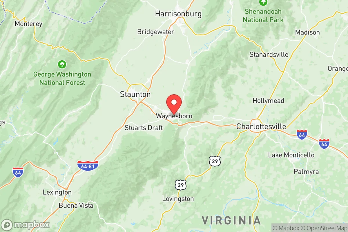
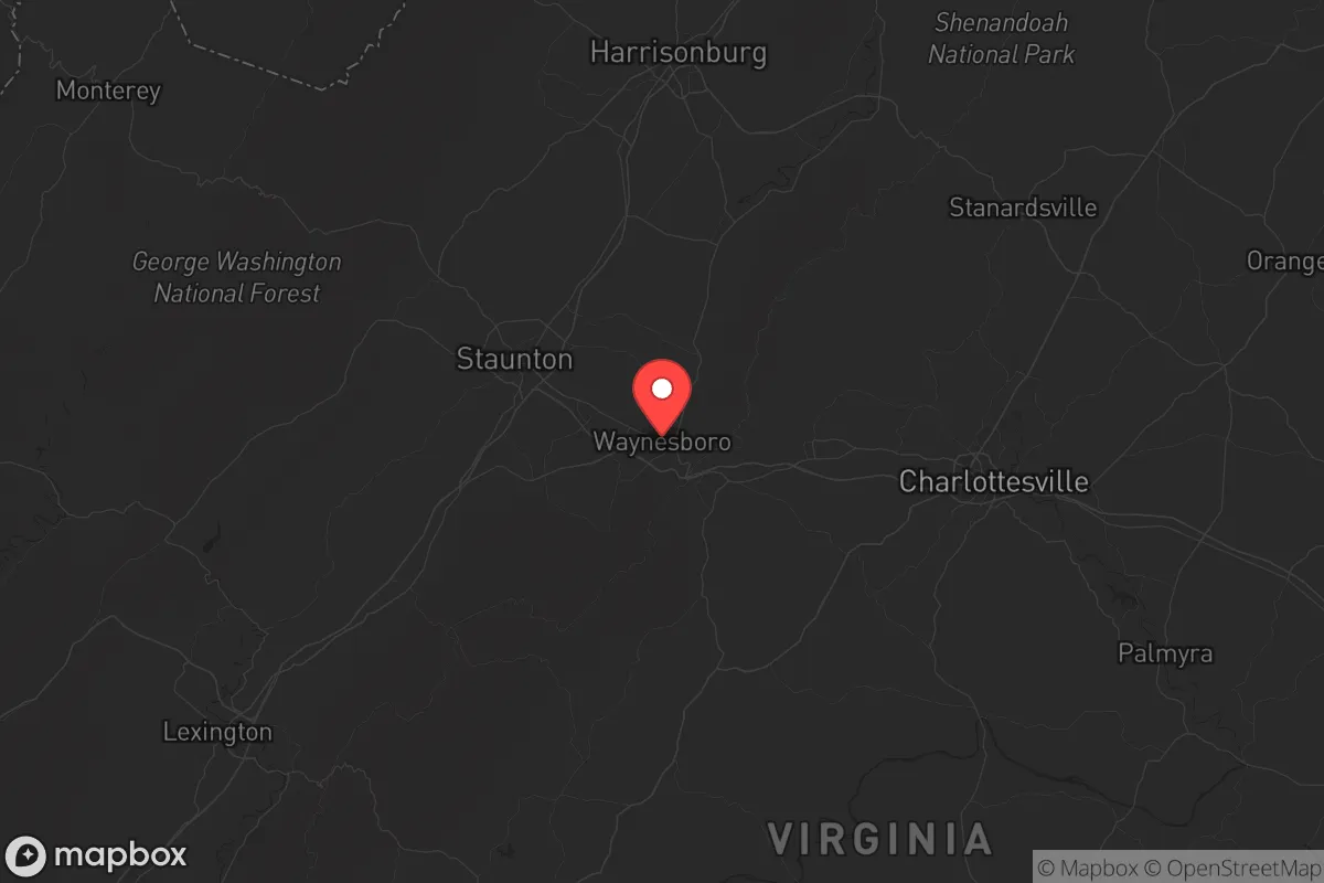
Waynesboro sits in a sweet spot that few relocation analysts talk about openly: close enough to infrastructure to matter, far enough from the major target sets to matter more. Nestled where the Blue Ridge Mountains meet the Shenandoah Valley floor, this independent city of roughly 22,000 people offers terrain diversity, water abundance, and a buffer from the I-95 corridor that most preppers instinctively look for. Its position relative to both natural choke points and potential fallout zones deserves a hard look if you are thinking long-term stability rather than just square footage and school ratings.
Geographic position and natural advantages for long-term stability
Waynesboro occupies a slot where the South River cuts through the valley before joining the Shenandoah. That alone gives it a water advantage that many inland towns lack. The city sits about 25 miles west of Charlottesville and roughly 35 miles east of Staunton, placing it off the main pressure axes of I-81 and I-64 while still giving reasonable access to both corridors if supply chains hold. To the east, the Blue Ridge Parkway and Shenandoah National Park form a natural barrier that complicates any large-scale movement into the area from that direction. To the west, the Allegheny foothills provide a secondary buffer. That layered terrain means Waynesboro is not a through-town for most long-distance traffic; it is a destination or a place you pass deliberately. For someone concerned with civic unrest or mass displacement events, that reduces the probability of random spillover from urban evacuation flows. The surrounding Augusta County land is among the most productive agricultural ground in Virginia, with established farm networks that could support a regional food web if grocery distribution falters. The city's elevation around 1,300 feet also puts it above the valley floor fog zones and reduces flood risk compared to low-lying Shenandoah towns like Elkton or Luray.
Risks, exposures, and proximity to fallout-relevant landmarks
No place is immune, and Waynesboro has its own exposure profile that needs a clear-eyed assessment. The nearest high-value target set of national significance is the Washington D.C. metropolitan area, roughly 130 miles northeast. At that distance, Waynesboro sits outside the lethal fallout zone for a ground burst on D.C., though downwind scenarios depending on seasonal prevailing winds would need to be modeled locally. The North Anna Nuclear Generating Station near Mineral, Virginia, lies about 70 miles east-southeast. That is outside the emergency planning zone but inside the range where a major release could affect water or air depending on weather. More immediately, the I-81 corridor runs about 10 miles west of Waynesboro near Staunton. That highway is a major freight artery and, in a crisis, would become a funnel for both evacuees and military logistics. The local Invista chemical facility (formerly DuPont) on the south side of Waynesboro produces industrial intermediates and is a realistic concern for a localized chemical release or fire, though it is not a strategic target in the same league as a refinery or port. There are no military bases, major refineries, or nuclear weapons storage sites within immediate fallout distance. Fort Barfoot (formerly Fort Pickett) is about 100 miles south, and the Norfolk naval complex is over 150 miles southeast, both far enough that airborne fallout from a strike on those facilities would disperse before reaching the Shenandoah Valley in dangerous concentration. The absence of major dam infrastructure upstream also eliminates catastrophic dam-failure flooding as a primary risk.
Practical resilience for a relocator: food, water, energy, and defensibility
For the individual or family looking at Waynesboro as a relocation target, the practical resilience factors break down well. The South River runs through town and is supplemented by numerous springs and tributaries in the surrounding national forest land. Water filtration and catchment are realistic without requiring complex infrastructure. The agricultural base in Augusta County means that local food production is not a theoretical concept; farmers markets, roadside stands, and direct-to-consumer meat and produce operations are already established and could scale if needed. The energy picture is mixed. Waynesboro draws from the Dominion Energy grid, which relies on a mix of natural gas, nuclear, and coal. In a prolonged grid-down scenario, the prevalence of wood-burning heating in the valley and the availability of timber from the George Washington National Forest to the west give a backup heating option that is not available in more suburban or flatland areas. Defensibility is where Waynesboro earns its keep. The mountains to the east create a natural screen, and the valley offers multiple observation points if you know the terrain. The city itself is compact enough that a neighborhood-level watch structure could feasibly cover ingress points. The two main access routes are US-250 running east-west and US-340 running north-south. Both can be observed and, if necessary, controlled with minimal manpower. That is not true of most towns in the Virginia Piedmont or Tidewater regions, where the road network is too redundant to secure.
The overall strategic picture of Waynesboro is one of moderate insulation with realistic access. It does not offer the extreme remoteness of west Texas or the Idaho panhandle, but it also does not ask you to give up every connection to the outside world. For the conservative-minded relocator who wants a property that can sustain a family through a rough period without requiring a full off-grid conversion, the Waynesboro area balances proximity to resources with separation from the most likely flash points. The Shenandoah Valley has historically been a breadbasket and a travel corridor; Waynesboro sits just enough off the main line to avoid the worst of the traffic while still being able to tap into the valley's agricultural and water advantages. It is not a fortress, but it is a defensible position with good logistics, and in the current climate, that combination is worth more than most real estate listings will tell you.
* Values derived from national, state, county, city and local statistics and may differ in a specific area. Last updated: 2026-06-01T13:46:42.000Z
Narrative content on this page is AI-generated and may contain mistakes. Verify any details that matter before acting on them.
ReloMaps may earn a commission from affiliate links at no extra cost to you.