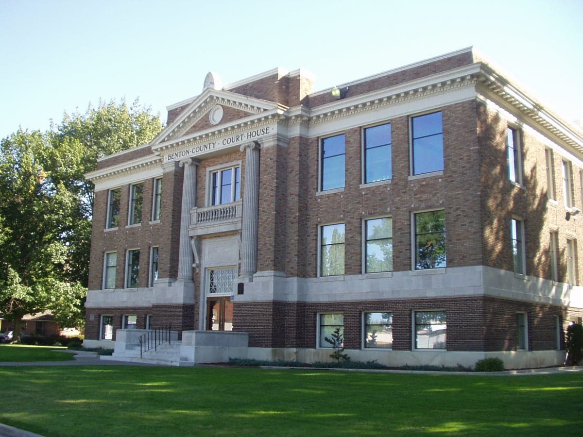
Photo: Wikipedia
Strategic Assessment of Benton County
Workable tactical position. Some exposure to population density or targets, but generally defensible in a crisis.
What does the Strategic Assessment tell us?
Our Strategic Assessment grades tactical survivability of an area. Major population centers, military targets, fallout zones, natural disasters, and border exposure all drive risk — lower exposure means a more defensible position in a crisis.
This is heavily inspired by Joel Skousen's Strategic Relocation book. Highly recommended you checkout the book ($)What does this tell us?
Our Strategic Assessment grades tactical survivability of an area. Major population centers, military targets, fallout zones, natural disasters, and border exposure all drive risk — lower exposure means a more defensible position in a crisis.
This is heavily inspired by Joel Skousen's Strategic Relocation book. Highly recommended you checkout the book ($)Strategic Pillars

Key Distances
Strategic Assessment Analysis
Benton County, Washington, anchored by the Tri-Cities of Richland, Pasco, and Kennewick, presents a compelling strategic profile for relocators prioritizing resilience, self-sufficiency, and geographic stability. Its position in the semi-arid rain shadow of the Cascade Range offers a distinct set of advantages—low natural disaster risk, abundant freshwater from the Columbia River, and a robust local energy grid—that make it a standout option for those thinking seriously about long-term preparedness. While no location is without exposure, Benton County’s combination of defensible geography, resource independence, and distance from major metropolitan fallout zones positions it as a strong candidate for families and individuals seeking a secure, sustainable base.
Geographic position and natural advantages: Why the Columbia Basin offers a strategic buffer
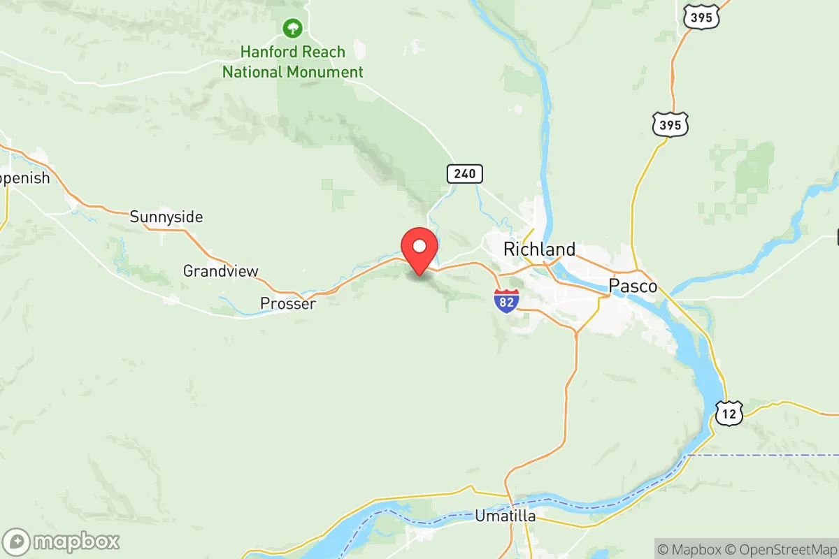
Benton County sits in the Columbia River Plateau, a region defined by its dry climate, flat to rolling terrain, and the lifeblood of the Columbia River. The area’s most significant natural advantage is its low susceptibility to earthquakes, hurricanes, tornadoes, and wildfires compared to much of the Pacific Northwest. The Cascades block most Pacific moisture, creating a high desert environment with only 6–8 inches of annual precipitation—reducing flood risk and wildfire fuel loads dramatically. The Columbia River itself provides a virtually inexhaustible water source, with the McNary Dam and Ice Harbor Dam within the county ensuring both irrigation and hydroelectric power. For a relocator, this means year-round water security and a power grid less vulnerable to the cascading failures seen in coastal or mountainous regions. The terrain also offers natural defensibility: the river forms a natural boundary to the north and east, while the Horse Heaven Hills to the south and the Rattlesnake Hills to the west create a basin that is both productive and relatively easy to monitor. Cities like Richland and West Richland sit on the river’s edge, while Kennewick and Pasco spread across the flatlands—all within a region that has never experienced a major earthquake above magnitude 5.5 in recorded history.
Risks, exposures, and proximity to fallout-relevant landmarks: What to watch for
Benton County’s most notable risk is its proximity to the Hanford Site, a decommissioned nuclear production complex located just north of Richland. Hanford contains the largest concentration of radioactive waste in the Western Hemisphere, including 56 million gallons of high-level waste stored in underground tanks. While the site is actively managed by the Department of Energy and the Washington State Department of Ecology, a major seismic event or terrorist incident could theoretically release contaminants into the Columbia River or atmosphere. However, the risk is mitigated by the site’s remote location, extensive monitoring, and the fact that the prevailing winds blow away from the Tri-Cities population centers. For a relocator, this is a known variable—not a dealbreaker, but a factor to monitor. Other man-made risks include the Port of Kennewick, a major inland port handling agricultural and industrial goods, and the Benton County Jail in Kennewick, which is a low-probability target. The county is far from major military installations like Joint Base Lewis-McChord (150 miles northwest) or the Portland metro area (200 miles west), which reduces exposure to fallout from a conventional or nuclear strike on those targets. The nearest large city is Spokane (120 miles northeast), but the Tri-Cities themselves are not a primary strategic target. Natural risks are minimal: the area sees occasional dust storms and heat waves (summer highs often exceed 100°F), but no hurricanes, no tsunami threat, and very low wildfire risk due to the sparse vegetation. The biggest practical risk is dependence on the Columbia River for irrigation and drinking water—a prolonged drought or upstream contamination could stress supplies, but the river’s volume (the fourth-largest in the U.S.) makes this a remote possibility.
Practical resilience for a relocator: Food, water, energy, and defensibility
Benton County excels in practical self-sufficiency. Food security is a standout: the county is part of the Columbia Basin Irrigation Project, which supports over 600,000 acres of farmland producing apples, cherries, grapes, wheat, and potatoes. The Tri-Cities are surrounded by working farms, and local farmers’ markets in Kennewick and Richland operate year-round. For a relocator, this means access to fresh, local produce without relying on long supply chains. Water security is equally strong—the Columbia River provides a reliable source, and many homes in rural areas (like those near Benton City or Prosser) have private wells. The county’s water utilities are well-maintained, with the City of Richland operating its own treatment plant. Energy independence is a major asset: the region is powered by the Bonneville Power Administration’s hydroelectric system, with the McNary Dam (just east of the county) and the Priest Rapids Dam (to the north) providing cheap, renewable electricity. Solar potential is excellent—the area averages 300 sunny days per year—making rooftop solar a viable backup. Natural gas is also widely available. Defensibility is aided by the county’s layout: the Columbia River creates a natural moat to the north and east, while the Horse Heaven Hills to the south offer elevated vantage points. The population is spread across three main cities (Richland, Kennewick, Pasco) and several smaller towns (West Richland, Finley, Burbank), creating a decentralized pattern that is harder to disrupt than a dense urban core. The county has a strong law enforcement presence, with the Benton County Sheriff’s Office and local police departments maintaining good response times. For a family, the area’s low crime rate (violent crime is about 30% below the national average) and strong community networks—including numerous churches, volunteer fire departments, and emergency preparedness groups—add to the sense of security.
Overall, Benton County offers a rare combination of geographic stability, resource abundance, and low exposure to major man-made and natural threats. Its proximity to the Hanford Site is a known risk that requires awareness but not alarm, while its distance from major military and industrial targets reduces fallout concerns. For a relocator focused on resilience, the Tri-Cities area provides a defensible, self-sufficient base with reliable food, water, and energy—all within a region that is politically stable, economically diverse, and culturally aligned with conservative values. It is not a perfect fortress, but it is one of the most strategically sound locations in the Pacific Northwest for those prioritizing long-term preparedness and quality of life.

* Values derived from national, state, county, city and local statistics and may differ in a specific area. Last updated: 2026-08-08T13:41:12.000Z
Narrative content on this page is AI-generated and may contain mistakes. Verify any details that matter before acting on them.
ReloMaps may earn a commission from affiliate links at no extra cost to you.

