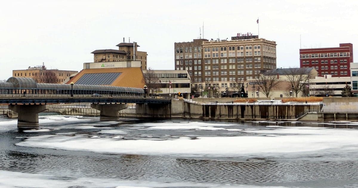
Photo: Wikipedia
Strategic Assessment of Waterloo, IA
Workable tactical position. Some exposure to population density or targets, but generally defensible in a crisis.
What does the Strategic Assessment tell us?
Our Strategic Assessment grades tactical survivability of an area. Major population centers, military targets, fallout zones, natural disasters, and border exposure all drive risk — lower exposure means a more defensible position in a crisis.
This is heavily inspired by Joel Skousen's Strategic Relocation book. Highly recommended you checkout the book ($)What does this tell us?
Our Strategic Assessment grades tactical survivability of an area. Major population centers, military targets, fallout zones, natural disasters, and border exposure all drive risk — lower exposure means a more defensible position in a crisis.
This is heavily inspired by Joel Skousen's Strategic Relocation book. Highly recommended you checkout the book ($)Strategic Pillars

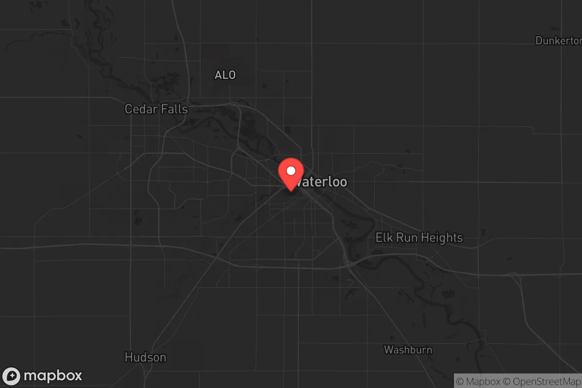
Key Distances
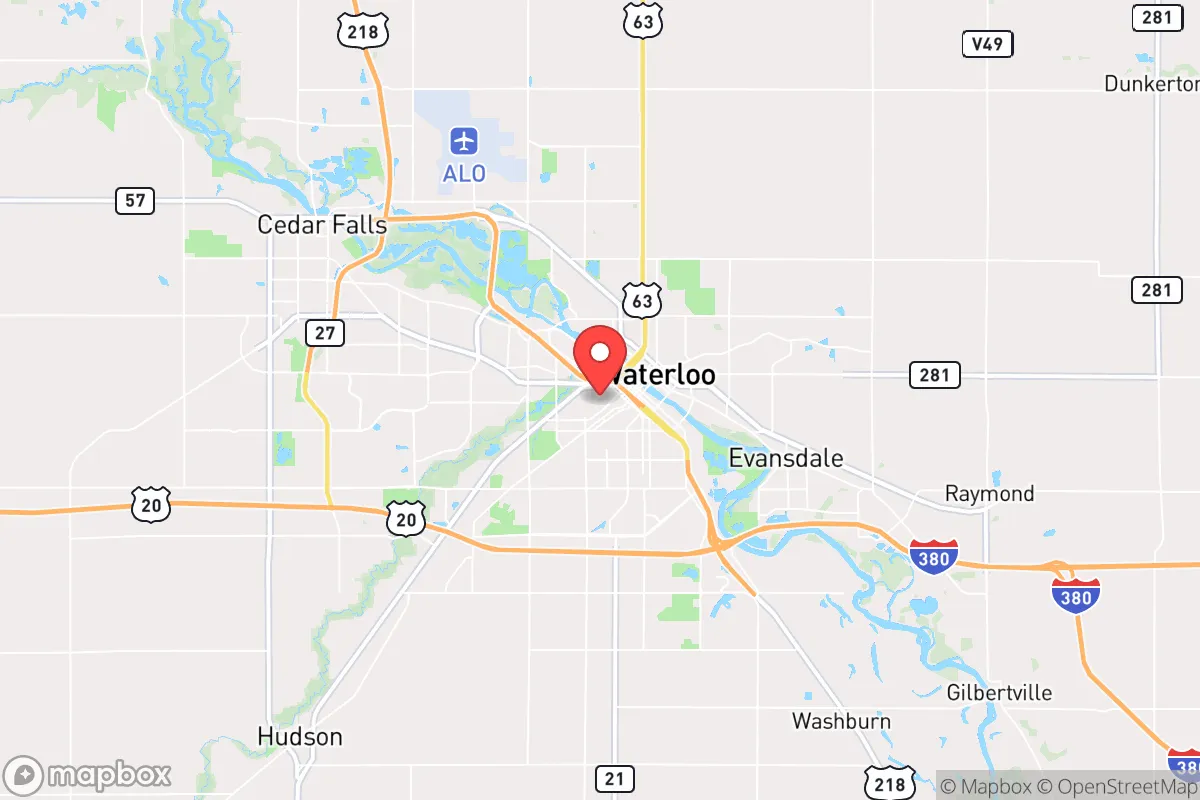
Regional Safe Places
Below is our recommended "safe zones" in Iowa and the surrounding area based on our strategic heuristics. For most people, it's unrealistic to live in a “safe zone” full-time due to work, family or other personal reasons. They tend to be more rural. However, many of these areas are perfect for second homes and retreat properties that double as a vacation home or even a short-term rental.


Important Note: For informational purposes only. This does not mean nothing bad ever happens in the green zones. Please use common sense. This is based on public data and modeled with AI. We tried to take a conservative approach but mistakes happen. We update this regularly as new information becomes available.
Solar Generator Recommendations
Backup power matters more here than in safer locations. We've picked three solar generators across budgets and capacity tiers — start with the budget unit if you only need a few essentials, or step up if you want to run a fridge and HVAC for days at a time.

Jackery Portable Power Station Explorer 300
Budget OptionPower on the Go: Weighing only 11 lbs, it's convenient to set up and store with book-sized foldable solar panels

BLUETTI Portable Power Station AC180
Designed for both indoor and outdoor scenarios, AC180 is highly capable as it has a robost capacity and continuous output power.

EF ECOFLOW DELTA Pro Ultra Power Station
Upgraded PickEcoFlow DELTA Pro Ultra is a whole-home energy system designed to grow with your family. Integrated with the Smart Home Panel 2, it scales to meet your evolving energy needs — keeping your home powered, intelligent, and secure through every stage of life.
We earn a commission, at no additional cost to you.
Strategic Assessment Analysis
Waterloo, Iowa, presents a mixed strategic picture for the conservative prepper or survivalist. Its core resilience lies in its position as a regional manufacturing and agricultural hub, but its proximity to larger population centers and specific industrial risks demands careful consideration. For a single individual or family looking to weather civic unrest or a major disaster, Waterloo offers a solid foundation of local resources and community infrastructure, but it is not a remote, off-grid sanctuary. The city’s location along the Cedar River and its deep roots in food production provide genuine advantages, yet the same factors that make it economically viable also create exposure points that a serious relocator must weigh.
Geographic position and natural advantages for long-term security
Waterloo’s geographic position is a double-edged sword. It sits in the heart of the Corn Belt, roughly 100 miles from Des Moines and 150 miles from Minneapolis—close enough to feel the ripple effects of unrest in those cities, but far enough to avoid the immediate blast zone of a major event. The surrounding Black Hawk County is predominantly agricultural, with vast tracts of farmland and a relatively low population density outside the city limits. This offers a key advantage: local food production is not an abstraction here. The region is a net exporter of grain, livestock, and dairy, meaning that even in a supply chain disruption, the immediate area has a higher likelihood of maintaining food availability than a coastal or purely urban locale. The Cedar River provides a reliable freshwater source, though it is not a pristine mountain stream—it requires treatment. The terrain is flat to gently rolling, which is good for farming but offers little in the way of natural defensible high ground. For a relocator, the strategic play is not to live in downtown Waterloo but to secure a property on the outskirts or in a nearby small town like Hudson or Evansdale, where you can leverage the city’s resources while maintaining a lower profile.
Risks, exposures, and proximity to fallout-relevant landmarks
The most significant risk for Waterloo is its industrial base. The city is home to a major John Deere manufacturing plant, a Tyson Foods meatpacking facility, and several other heavy industrial operations. In a scenario of mass casualty events or civil unrest, these become high-value targets for looting, sabotage, or labor-related violence. The Tyson plant alone employs thousands of workers, many of whom live in dense, lower-income neighborhoods nearby—a recipe for rapid social friction if food or fuel supplies are disrupted. Additionally, Waterloo sits within 200 miles of the Duane Arnold Energy Center (a decommissioned nuclear plant near Cedar Rapids) and is within 300 miles of the Prairie Island Indian Community nuclear plant in Minnesota. While neither is a direct fallout threat, a catastrophic failure at either could affect regional water and air quality. The city’s rail and highway infrastructure (I-380 and U.S. 20) are critical chokepoints. In a crisis, these routes could become clogged with refugees from larger cities, turning Waterloo into a bottleneck. The presence of a large Somali and refugee population in the city adds a layer of cultural tension that, while generally peaceful, could become a flashpoint under severe resource scarcity. For the prepper, the key takeaway is that Waterloo’s industrial strength is also its Achilles’ heel—you are betting that the local economy holds, but planning for the opposite.
Practical resilience for a relocator: food, water, energy, and defensibility
From a practical standpoint, Waterloo offers several concrete advantages for a relocator with a prepper mindset. Water access is the strongest asset. The Cedar River runs through the city, and the underlying Jordan Aquifer provides groundwater that can be tapped with a well—though drilling costs vary. Municipal water is treated and reliable, but a backup well or rainwater catchment system is advisable. Food security is excellent by national standards: local farmers’ markets, bulk grain suppliers, and direct relationships with livestock producers are all accessible. The city has multiple feed stores and agricultural supply outlets where you can stockpile seeds, tools, and animal feed without raising eyebrows. Energy is a mixed bag. The local grid is fed by MidAmerican Energy, which relies on a mix of coal, natural gas, and wind. Power outages from storms are common but brief. Solar potential is moderate—Iowa gets about 4.5 peak sun hours per day—so a modest solar array with battery backup is feasible but not a year-round guarantee. Defensibility is the weakest link. Waterloo is flat, with no natural chokepoints like mountains or rivers that can be easily fortified. A rural property with a long driveway, good sightlines, and a perimeter fence is your best bet. The local gun culture is strong, with multiple gun shops and ranges, and Iowa is a shall-issue state for permits—so arming yourself is straightforward. The community itself is generally friendly but insular; building trust with neighbors is essential for mutual defense.
The overall strategic picture for Waterloo is one of calculated trade-offs. It is not a remote bunker location, nor is it a high-risk urban warzone. For the conservative relocator who values economic opportunity, agricultural abundance, and a lower cost of living, it is a viable base of operations. The risks are real—industrial concentration, refugee corridors, and flat terrain—but they are manageable with proper planning. If you are willing to live on the outskirts, invest in a well and solar backup, and build relationships with local farmers and gun owners, Waterloo can serve as a resilient hub for weathering the storms ahead. It is a place where you can work a decent job, raise a family, and still have the capacity to bug in or bug out depending on the threat. Just don’t mistake it for a fortress—it’s a working-class city with working-class vulnerabilities, and that honesty is its greatest strategic asset.
* Values derived from national, state, county, city and local statistics and may differ in a specific area. Last updated: 2026-04-30T01:32:15.000Z
Narrative content on this page is AI-generated and may contain mistakes. Verify any details that matter before acting on them.
ReloMaps may earn a commission from affiliate links at no extra cost to you.