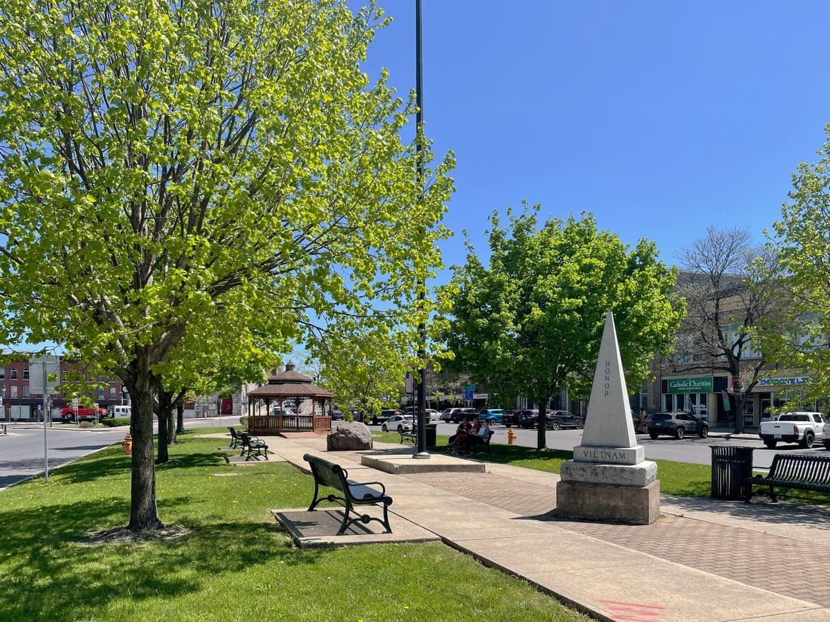
Photo: Wikipedia
Strategic Assessment of Watertown, NY
Meaningful friction. Expect exposure to either population pressure, blast zones, or natural disaster risk. Consider buying a retreat property.
What does the Strategic Assessment tell us?
Our Strategic Assessment grades tactical survivability of an area. Major population centers, military targets, fallout zones, natural disasters, and border exposure all drive risk — lower exposure means a more defensible position in a crisis.
This is heavily inspired by Joel Skousen's Strategic Relocation book. Highly recommended you checkout the book ($)What does this tell us?
Our Strategic Assessment grades tactical survivability of an area. Major population centers, military targets, fallout zones, natural disasters, and border exposure all drive risk — lower exposure means a more defensible position in a crisis.
This is heavily inspired by Joel Skousen's Strategic Relocation book. Highly recommended you checkout the book ($)Strategic Pillars

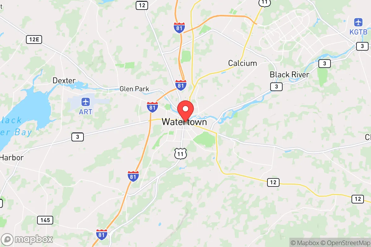
Key Distances
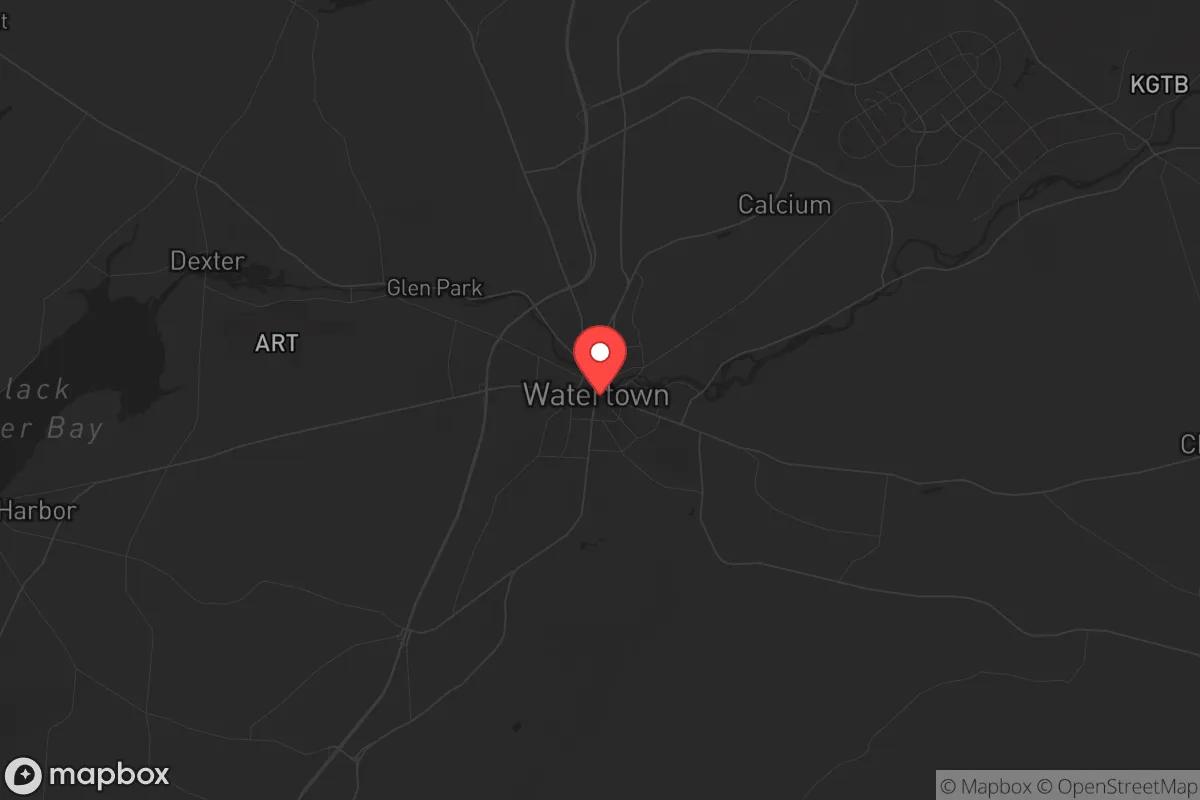
Regional Safe Places
Below is our recommended "safe zones" in New York and the surrounding area based on our strategic heuristics. For most people, it's unrealistic to live in a “safe zone” full-time due to work, family or other personal reasons. They tend to be more rural. However, many of these areas are perfect for second homes and retreat properties that double as a vacation home or even a short-term rental.


Important Note: For informational purposes only. This does not mean nothing bad ever happens in the green zones. Please use common sense. This is based on public data and modeled with AI. We tried to take a conservative approach but mistakes happen. We update this regularly as new information becomes available.
Solar Generator Recommendations
Backup power matters more here than in safer locations. We've picked three solar generators across budgets and capacity tiers — start with the budget unit if you only need a few essentials, or step up if you want to run a fridge and HVAC for days at a time.

Jackery Portable Power Station Explorer 300
Budget OptionPower on the Go: Weighing only 11 lbs, it's convenient to set up and store with book-sized foldable solar panels

BLUETTI Portable Power Station AC180
Designed for both indoor and outdoor scenarios, AC180 is highly capable as it has a robost capacity and continuous output power.

EF ECOFLOW DELTA Pro Ultra Power Station
Upgraded PickEcoFlow DELTA Pro Ultra is a whole-home energy system designed to grow with your family. Integrated with the Smart Home Panel 2, it scales to meet your evolving energy needs — keeping your home powered, intelligent, and secure through every stage of life.
We earn a commission, at no additional cost to you.
Strategic Assessment Analysis
Watertown, New York, presents a mixed strategic picture for the conservative prepper or survivalist. Its primary advantage is geographic isolation from major population centers, but its proximity to a significant military installation and a major international border crossing introduces unique risks that must be weighed carefully. For those seeking a low-profile, defensible location with access to abundant fresh water and arable land, Watertown offers real potential, but only if you are willing to accept the trade-offs that come with living near a high-value target.
Geographic position and natural advantages for long-term survival
Watertown sits in Jefferson County, roughly 30 miles from the Canadian border and 70 miles north of Syracuse. This northern tier location places it well outside the blast radius and immediate fallout zones of any major U.S. city. The region is sparsely populated, with the entire county holding only about 116,000 people spread across a largely rural landscape. The dominant natural feature is the Black River, which runs directly through Watertown and provides a reliable, year-round water source. The river's flow is substantial enough to support small-scale hydroelectric generation, and the surrounding terrain is a mix of forest and farmland. The St. Lawrence River and Lake Ontario are within a 20-minute drive, offering additional water access and fishing opportunities. The climate is a hard reality: winters are long, snowy, and cold, with average snowfall exceeding 100 inches per year. This is not a bug—it is a feature. Harsh winters act as a natural population filter, discouraging transient populations and making the area less attractive to those unprepared for self-sufficient living. The growing season is short, roughly 120 days, but the soil in the river valleys is fertile enough for subsistence gardening and small-scale agriculture.
Risks, exposures, and proximity to fallout-relevant landmarks
The single greatest strategic liability in Watertown is Fort Drum, home to the 10th Mountain Division. This is a major active-duty Army installation housing roughly 20,000 soldiers and their families. In any scenario involving large-scale civil unrest, foreign conflict, or a breakdown of federal authority, Fort Drum becomes a high-value target for both state and non-state actors. The base itself is hardened, but the surrounding civilian infrastructure—roads, bridges, power grids, and the Watertown International Airport—would be subject to military control or disruption. Additionally, the Thousand Islands Bridge and the Ogdensburg-Prescott International Bridge are critical border crossings that could be closed or contested during a crisis. The proximity to Canada is a double-edged sword: it offers an escape route or resupply corridor, but it also means that any cross-border instability—whether from a refugee surge or a military incident—will directly affect Watertown. The city itself is not a major industrial or nuclear target, but it lies within the fallout plume zone of potential strikes on Syracuse or the Canadian side of the St. Lawrence Seaway. The prevailing winds from the west and southwest mean that fallout from a strike on Syracuse could reach Jefferson County within hours. Preppers should plan for at least two weeks of sealed shelter capability.
Practical resilience for a relocator: food, water, energy, and defensibility
Watertown's practical resilience is a mixed bag. On the positive side, fresh water is abundant and easily accessible. The Black River is not heavily polluted, and with basic filtration and boiling, it provides a reliable source. The region has a strong agricultural base, with dairy farms, cattle operations, and vegetable farms scattered throughout the county. The Watertown Farmers Market operates year-round, and local food co-ops exist, but for a serious prepper, the key is to establish relationships with local farmers before a crisis. Land prices are relatively low compared to the rest of New York State, with rural parcels available for under $5,000 per acre. Energy infrastructure is a concern. The grid is served by National Grid, and outages are common during winter storms. Solar is viable but limited by the short, cloudy winter days; a hybrid system with a backup generator and a wood stove is essential. The local population is predominantly conservative, with a strong military and veteran presence. This means a higher-than-average level of firearm ownership and a cultural baseline of self-reliance. However, the area also has a significant seasonal tourist economy, which brings in transient populations during the summer months. Defensibility is moderate: the terrain is not mountainous, but the dense forests, numerous waterways, and limited road network make it easy to control access to a rural property. The city itself is not defensible in a collapse scenario—it is a typical small city with a downtown core and suburban sprawl. The real value is in the surrounding countryside, where a well-prepared group can operate with relative autonomy.
The overall strategic picture for Watertown is one of calculated risk. It is not a safe haven in the sense of being completely removed from national vulnerabilities—the presence of Fort Drum and the border crossings ensure that. But for a relocator who is willing to accept that risk in exchange for abundant fresh water, low population density, and a culturally aligned community, it offers a solid foundation. The key is to avoid being drawn into the city itself and instead secure a rural property with direct water access, a wood heat source, and a defensible perimeter. If you are looking for a place that is off the beaten path but still within striking distance of resources and trade routes, Watertown deserves a serious look. Just keep your bug-out bag packed and your eye on the wind direction.
* Values derived from national, state, county, city and local statistics and may differ in a specific area. Last updated: 2026-05-02T00:02:36.000Z
Narrative content on this page is AI-generated and may contain mistakes. Verify any details that matter before acting on them.
ReloMaps may earn a commission from affiliate links at no extra cost to you.