
Photo: Wikipedia
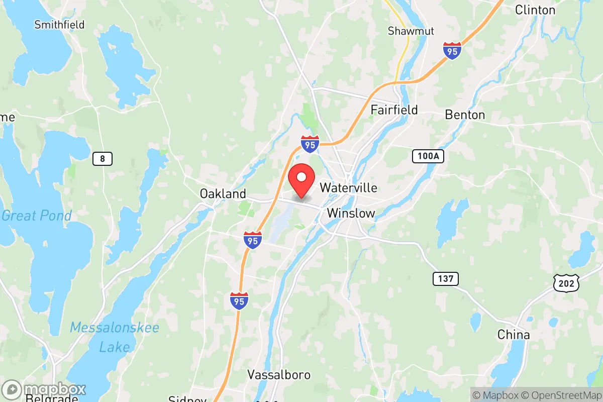
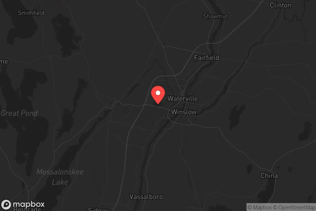
Strategic Assessment of Waterville, ME
Meaningful friction. Expect exposure to either population pressure, blast zones, or natural disaster risk. Consider buying a retreat property.
What does the Strategic Assessment tell us?
Our Strategic Assessment grades tactical survivability of an area. Major population centers, military targets, fallout zones, natural disasters, and border exposure all drive risk — lower exposure means a more defensible position in a crisis.
This is heavily inspired by Joel Skousen's Strategic Relocation book. Highly recommended you checkout the book ($)What does this tell us?
Our Strategic Assessment grades tactical survivability of an area. Major population centers, military targets, fallout zones, natural disasters, and border exposure all drive risk — lower exposure means a more defensible position in a crisis.
This is heavily inspired by Joel Skousen's Strategic Relocation book. Highly recommended you checkout the book ($)Strategic Pillars

Key Distances
Regional Safe Places
Below is our recommended "safe zones" in Maine and the surrounding area based on our strategic heuristics. For most people, it's unrealistic to live in a “safe zone” full-time due to work, family or other personal reasons. They tend to be more rural. However, many of these areas are perfect for second homes and retreat properties that double as a vacation home or even a short-term rental.


Important Note: For informational purposes only. This does not mean nothing bad ever happens in the green zones. Please use common sense. This is based on public data and modeled with AI. We tried to take a conservative approach but mistakes happen. We update this regularly as new information becomes available.
Solar Generator Recommendations
Backup power matters more here than in safer locations. We've picked three solar generators across budgets and capacity tiers — start with the budget unit if you only need a few essentials, or step up if you want to run a fridge and HVAC for days at a time.

Jackery Portable Power Station Explorer 300
Budget OptionPower on the Go: Weighing only 11 lbs, it's convenient to set up and store with book-sized foldable solar panels

BLUETTI Portable Power Station AC180
Designed for both indoor and outdoor scenarios, AC180 is highly capable as it has a robost capacity and continuous output power.

EF ECOFLOW DELTA Pro Ultra Power Station
Upgraded PickEcoFlow DELTA Pro Ultra is a whole-home energy system designed to grow with your family. Integrated with the Smart Home Panel 2, it scales to meet your evolving energy needs — keeping your home powered, intelligent, and secure through every stage of life.
We earn a commission, at no additional cost to you.
Strategic Assessment Analysis
Waterville, Maine, sits in a sweet spot that few relocation analysts talk about openly: it’s far enough from the coastal population crush to avoid the worst of a collapse scenario, yet close enough to the working infrastructure of central Maine to sustain a real post-disruption life. The city’s resilience isn’t in its size—it’s in its position. Waterville is a regional hub for the Kennebec Valley, with a stable water supply, a working rail line, and a population that still remembers how to fix things rather than just order them. For a conservative-minded relocator looking at the long game—civic unrest, supply chain breakdowns, or a major disaster—this town offers a rare combination of isolation and access that most of the Northeast simply doesn’t have anymore.
Geographic position and natural advantages for long-term security
Waterville’s geography is its first and strongest card. The city sits on the Kennebec River, which provides a reliable freshwater source that isn’t dependent on municipal treatment plants that could fail in a crisis. The surrounding terrain is a mix of rolling hills, mixed forest, and agricultural land—enough cover to stay off the radar, but not so rugged that you can’t move supplies or evacuate if needed. The area is roughly 20 miles inland from the coast, which puts it outside the immediate blast and fallout zones of any naval or port targets like Portsmouth or Portland. The prevailing winds in Maine run west to east, meaning that even a major event in Boston or Portsmouth would likely push fallout out to sea, not up the Kennebec Valley. Waterville also sits at the intersection of Interstate 95 and U.S. Route 201, giving you two solid ground routes north into the unpopulated Maine woods or south toward the working farms of the Kennebec Valley. The rail line running through town—the same one that once served the paper mills—could be a lifeline for moving bulk goods if trucking collapses. In a world where every mile from a major city reduces your risk, Waterville’s 80-mile buffer from Portland and 170-mile buffer from Boston is a serious advantage.
Risks, exposures, and proximity to fallout-relevant landmarks
No place is a fortress, and Waterville has its exposures. The biggest single risk is the Maine Yankee nuclear waste storage site in Wiscasset, about 40 miles south. That’s a dry-cask storage facility, not an active reactor, but a direct hit or a sabotage event could still release radioactive material. The prevailing winds would carry fallout northeast, which puts Waterville in a potential downwind zone if the wind shifts. That’s a low-probability event, but it’s worth knowing. The city itself has a small airport (Waterville Robert LaFleur Airport) that could become a target for airborne contamination or a staging point for federal response—neither of which is good for a low-profile relocation. The paper mills and industrial sites along the river are aging infrastructure; a chemical spill or fire at one of them could contaminate the water supply for days. On the human side, Waterville is home to Colby College, which means a transient population of students and faculty who would likely evacuate or become dependent on local resources in a crisis. That’s a strain on food and medical supplies. The city’s police force is small—around 30 officers—and the county sheriff’s office covers a huge rural area. In a prolonged unrest scenario, law enforcement would be stretched thin, and you’d be largely on your own for security. The proximity to Augusta (20 miles south) means that any state-level unrest or federal intervention would ripple up the corridor quickly.
Practical resilience for a relocator: food, water, energy, and defensibility
For a prepper or survivalist, Waterville’s practical resilience is mixed but workable. The Kennebec River is your primary water source, but it’s also a public resource—anyone with a bucket can access it. You’ll want a private well or a rainwater catchment system if you’re buying property outside the city limits. The soil in the Kennebec Valley is some of the best in Maine for growing vegetables, with a longer growing season than the northern counties. Local farms like the ones in Fairfield and Clinton are within a 15-minute drive, and the farmers’ market in Waterville runs through October. In a collapse, those farms would be the first to be stripped, so building relationships now—trading labor or skills—is smart. Energy is a weak point. Central Maine Power’s grid is aging and vulnerable to ice storms, which hit this area hard every few years. Solar is viable, but the long winters mean you’ll need battery storage and a backup generator. Wood heat is the standard here; most rural properties have a wood stove or boiler, and firewood is abundant if you have a chainsaw and a truck. Defensibility is decent if you choose the right property. The city itself is too dense for a stand-alone defense—too many roads, too many neighbors. But the surrounding towns—Winslow, Oakland, Sidney—offer rural lots with tree lines, natural chokepoints, and limited access roads. A property with a view of the river and a single driveway is far easier to secure than a suburban cul-de-sac. The local gun culture is strong; Maine has some of the most permissive firearms laws in the Northeast, and you’ll find plenty of like-minded neighbors who understand the value of preparedness.
The overall strategic picture for Waterville is one of cautious optimism for a relocator who values self-reliance over convenience. It’s not a bug-out bunker—it’s a working town with real infrastructure, real people, and real risks. The water is good, the farmland is close, and the isolation from major targets is genuine. But you can’t ignore the nuclear waste to the south, the college population to the north, or the fact that the grid will fail in a bad winter storm. If you’re looking for a place to build a long-term, low-profile life that can weather both a financial collapse and a physical disaster, Waterville deserves a serious look. Just don’t expect it to stay quiet forever—everyone else is looking for the same thing.
* Values derived from national, state, county, city and local statistics and may differ in a specific area. Last updated: 2026-05-04T10:28:53.000Z
Narrative content on this page is AI-generated and may contain mistakes. Verify any details that matter before acting on them.
ReloMaps may earn a commission from affiliate links at no extra cost to you.