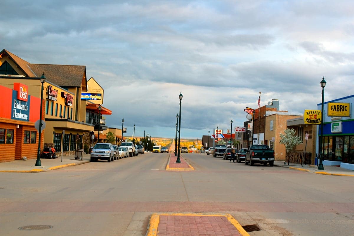
Photo: Wikipedia
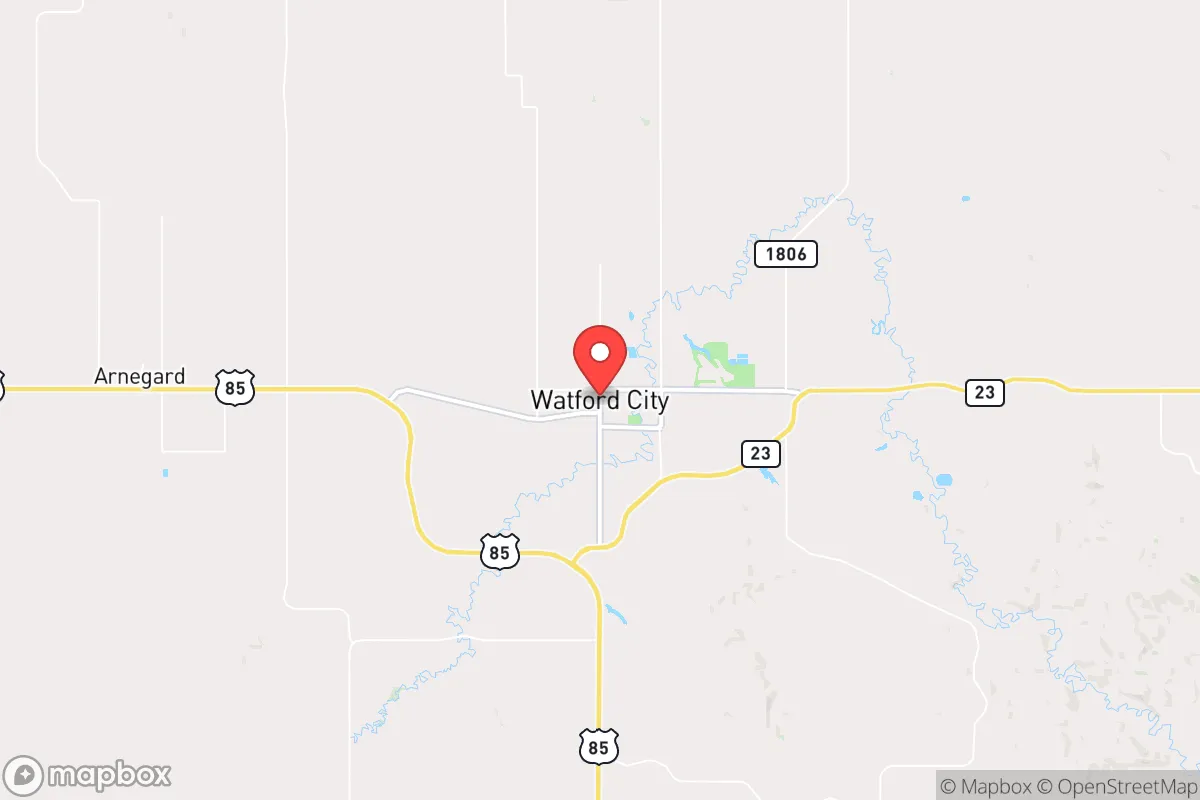
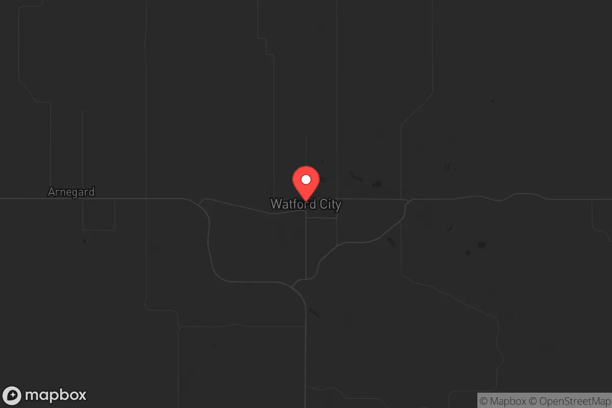
Strategic Assessment of Watford City, ND
Workable tactical position. Some exposure to population density or targets, but generally defensible in a crisis.
What does the Strategic Assessment tell us?
Our Strategic Assessment grades tactical survivability of an area. Major population centers, military targets, fallout zones, natural disasters, and border exposure all drive risk — lower exposure means a more defensible position in a crisis.
This is heavily inspired by Joel Skousen's Strategic Relocation book. Highly recommended you checkout the book ($)What does this tell us?
Our Strategic Assessment grades tactical survivability of an area. Major population centers, military targets, fallout zones, natural disasters, and border exposure all drive risk — lower exposure means a more defensible position in a crisis.
This is heavily inspired by Joel Skousen's Strategic Relocation book. Highly recommended you checkout the book ($)Strategic Pillars

Key Distances
Regional Safe Places
Below is our recommended "safe zones" in North Dakota and the surrounding area based on our strategic heuristics. For most people, it's unrealistic to live in a “safe zone” full-time due to work, family or other personal reasons. They tend to be more rural. However, many of these areas are perfect for second homes and retreat properties that double as a vacation home or even a short-term rental.
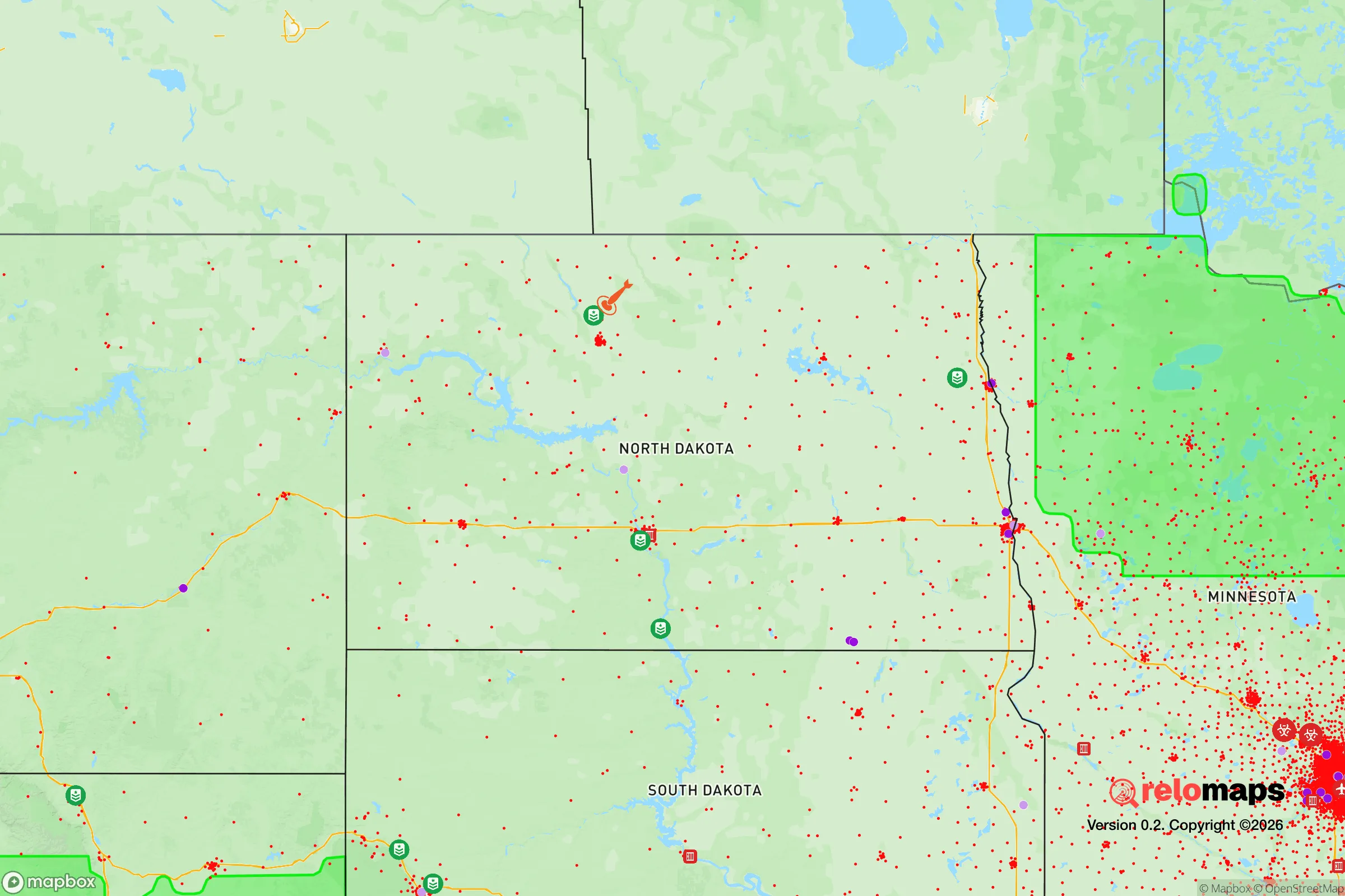
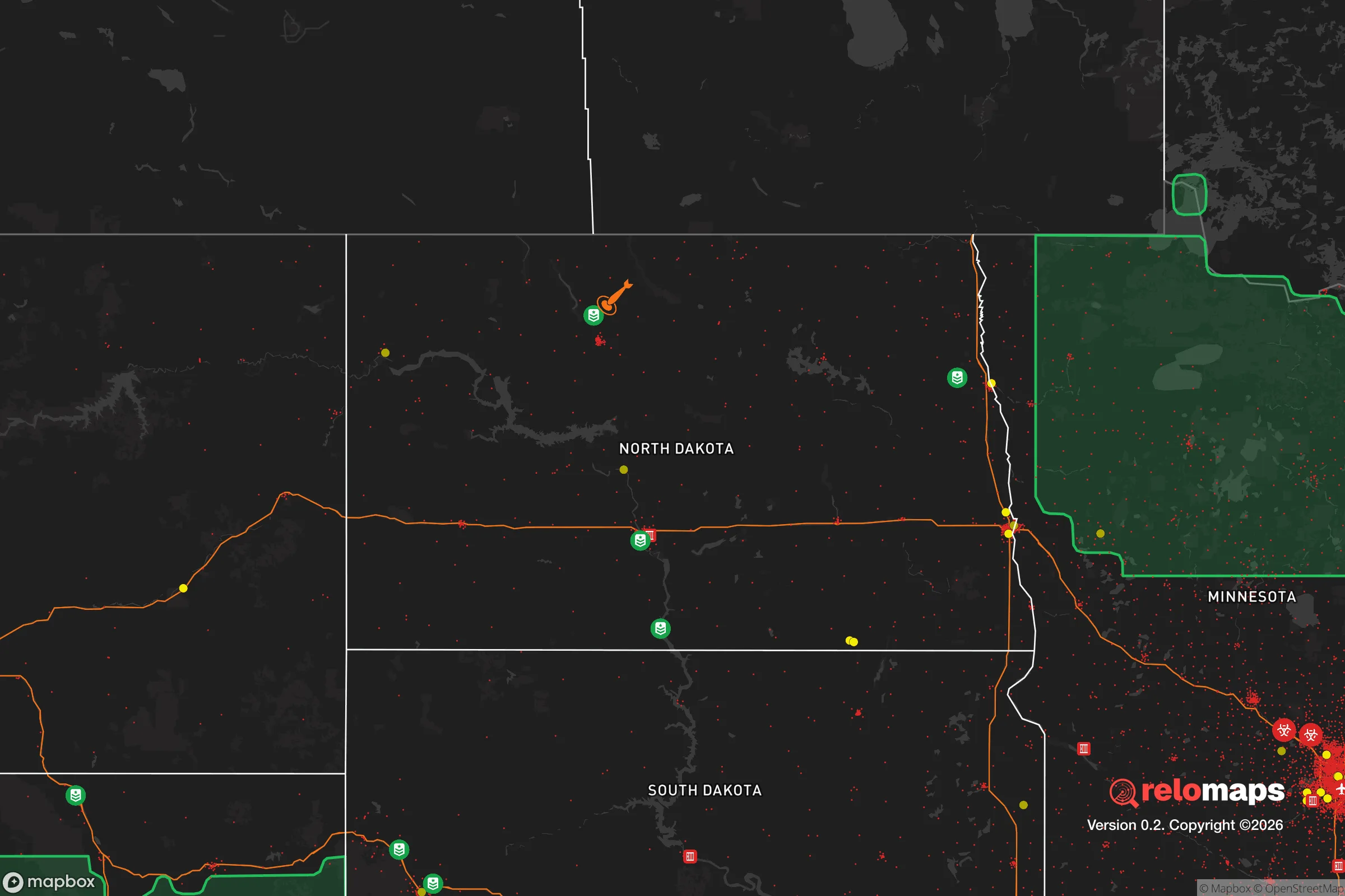
Important Note: For informational purposes only. This does not mean nothing bad ever happens in the green zones. Please use common sense. This is based on public data and modeled with AI. We tried to take a conservative approach but mistakes happen. We update this regularly as new information becomes available.
Solar Generator Recommendations
Backup power matters more here than in safer locations. We've picked three solar generators across budgets and capacity tiers — start with the budget unit if you only need a few essentials, or step up if you want to run a fridge and HVAC for days at a time.

Jackery Portable Power Station Explorer 300
Budget OptionPower on the Go: Weighing only 11 lbs, it's convenient to set up and store with book-sized foldable solar panels

BLUETTI Portable Power Station AC180
Designed for both indoor and outdoor scenarios, AC180 is highly capable as it has a robost capacity and continuous output power.

EF ECOFLOW DELTA Pro Ultra Power Station
Upgraded PickEcoFlow DELTA Pro Ultra is a whole-home energy system designed to grow with your family. Integrated with the Smart Home Panel 2, it scales to meet your evolving energy needs — keeping your home powered, intelligent, and secure through every stage of life.
We earn a commission, at no additional cost to you.
Strategic Assessment Analysis
Watford City, North Dakota, sits as a strategic outlier in the lower 48—a place where the Bakken oil boom built modern infrastructure atop a frontier mentality, and where the nearest metro area of any consequence (Minot) is over an hour away, with Billings, Montana, and Bismarck both clocking in at roughly two hours. This isolation, combined with a local economy that’s weathered multiple boom-bust cycles, gives the area a hard-earned resilience that’s rare in the Lower 48. For a relocator thinking in terms of decades, not quarters, Watford City offers a combination of energy independence, water access, and low population density that’s hard to beat—provided you understand the trade-offs that come with life on the northern plains.
Geographic position and natural advantages for long-term security
Watford City sits in McKenzie County, roughly 30 miles from the Montana border, in the heart of the Bakken shale formation. The immediate advantage is energy: the region is one of the few places in the continental United States where a private citizen can realistically secure access to natural gas and crude oil without relying on a fragile national grid. The Little Missouri River runs through town, and Lake Sakakawea—one of the largest man-made reservoirs in the country—is less than 20 miles north, providing a massive, defensible freshwater source that’s unlikely to be compromised by the same drought patterns plaguing the Southwest. The terrain is rolling badlands and prairie, which offers natural cover and defensible positions, especially if you’re looking at property outside the town limits. The population of McKenzie County is roughly 15,000, with Watford City itself around 7,500, meaning you’re not dealing with the anonymity or resource strain of a city, but you’re also not completely isolated from services. The area’s elevation (around 2,100 feet) and northern latitude mean cooler summers and harsh winters, which is a double-edged sword: it discourages casual migration, but it also means fewer people will follow you here if things go sideways.
Risks, exposures, and proximity to fallout-relevant landmarks
The biggest strategic concern is the region’s proximity to the Minot Air Force Base, roughly 70 miles northeast. Minot AFB is home to the 5th Bomb Wing (B-52s) and the 91st Missile Wing (Minuteman III ICBMs), making it a high-priority target in any major conflict involving the United States. While 70 miles is far enough to avoid direct blast effects from a ground burst, fallout patterns depend entirely on wind direction—and the prevailing winds in this part of North Dakota are from the west and northwest, which means a strike on Minot could push radioactive debris toward Watford City. That said, the base is a hardened military facility, and the likelihood of a nuclear exchange that would produce significant fallout in this area is low in a peacetime scenario; the more immediate risk is that the base becomes a focal point for civil unrest or a staging area for federal forces during a national emergency. The other risk is the Bakken oil fields themselves: there are thousands of active wells, pipelines, and storage tanks within a 50-mile radius. A major pipeline rupture or well fire could create localized contamination, but the dispersed nature of the infrastructure means a single event is unlikely to cripple the entire area. Flooding is minimal—the Little Missouri River can rise during spring melt, but the town sits on high ground. Tornadoes are a real but infrequent threat, with the area averaging one or two per decade. Winter blizzards are the most consistent hazard, and they can shut down roads for days, which is a serious consideration for anyone not prepared for extended isolation.
Practical resilience for a relocator: food, water, energy, and defensibility
Water is the strongest card Watford City holds. Lake Sakakawea holds over 23 million acre-feet of water, and the Missouri River system that feeds it is not subject to the same interstate compacts and legal battles as the Colorado or Rio Grande. A private well in the county typically hits good-quality groundwater at 100-300 feet, and the local aquifer is well-recharged by snowmelt. Food security is more complicated: the growing season is short (roughly 120 days), and the soil is heavy clay in many areas, so large-scale gardening requires serious effort. However, the region is surrounded by cattle ranches and wheat farms, and the local co-op system means that bulk food purchasing is feasible if you build relationships early. Hunting is excellent—deer, elk, and upland birds are abundant on public land in the Little Missouri National Grassland, which covers over a million acres just south of town. Energy is where Watford City truly shines: natural gas is cheap and plentiful, and many rural properties already have propane tanks or can be set up with small-scale wind or solar. The local power grid is maintained by McKenzie Electric Cooperative, which is member-owned and less prone to the cascading failures seen in investor-owned utilities. Defensibility is good but not perfect: the town itself is a grid of streets with open prairie on all sides, so a determined group could approach from any direction. The real advantage is that there are very few people here to begin with, and the local culture is heavily armed and self-reliant. The McKenzie County Sheriff’s Office is professional and well-funded from oil tax revenue, but response times in the county can be 30-45 minutes for rural calls. For a relocator, the play is to buy land at least 10-15 miles outside town, on a high point with a clear field of fire, and to invest in a good diesel generator and a buried propane tank. The winters will test your gear and your will, but if you can handle -40°F wind chills, you can handle almost anything.
The overall strategic picture for Watford City is one of high reward with manageable risk, provided you’re honest about the trade-offs. You’re trading away the convenience of urban life, the diversity of a big city job market, and the mild winters of the Sun Belt for a place where your neighbors will actually know your name, where the local government is still small enough to be influenced, and where the natural resources to survive a long-term disruption are within arm’s reach. The Minot AFB risk is real but probabilistic—it’s a known variable you can plan around with a good fallout shelter and a wind monitor. The isolation that makes the area unattractive to the average American is exactly what makes it valuable to someone thinking strategically. If the country experiences the kind of civil unrest or supply chain collapse that many preppers anticipate, Watford City will be one of the last places to feel the pinch, and one of the first to bounce back. It’s not a paradise—it’s a working town in a harsh climate with a boom-bust history. But for a single individual or a family willing to put in the work, it’s one of the most defensible, resource-secure locations in the continental United States. Come prepared, keep your head down, and you’ll be fine. Come expecting a soft landing, and the prairie will eat you alive.
* Values derived from national, state, county, city and local statistics and may differ in a specific area. Last updated: 2026-04-19T05:26:52.000Z
Narrative content on this page is AI-generated and may contain mistakes. Verify any details that matter before acting on them.
ReloMaps may earn a commission from affiliate links at no extra cost to you.