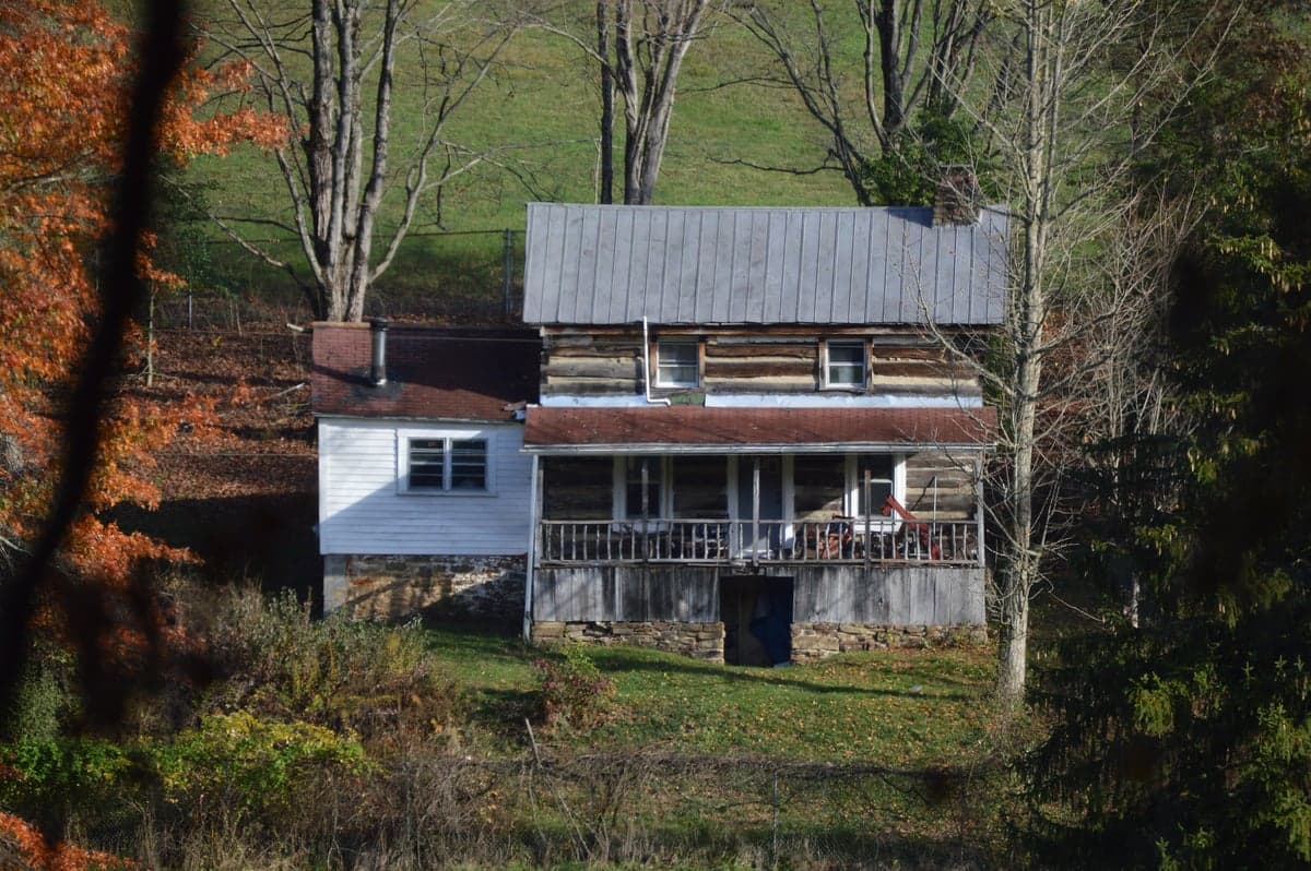
Photo: Wikipedia
Strategic Assessment of Taylor County
Workable tactical position. Some exposure to population density or targets, but generally defensible in a crisis.
What does the Strategic Assessment tell us?
Our Strategic Assessment grades tactical survivability of an area. Major population centers, military targets, fallout zones, natural disasters, and border exposure all drive risk — lower exposure means a more defensible position in a crisis.
This is heavily inspired by Joel Skousen's Strategic Relocation book. Highly recommended you checkout the book ($)What does this tell us?
Our Strategic Assessment grades tactical survivability of an area. Major population centers, military targets, fallout zones, natural disasters, and border exposure all drive risk — lower exposure means a more defensible position in a crisis.
This is heavily inspired by Joel Skousen's Strategic Relocation book. Highly recommended you checkout the book ($)Strategic Pillars

Key Distances
Strategic Assessment Analysis
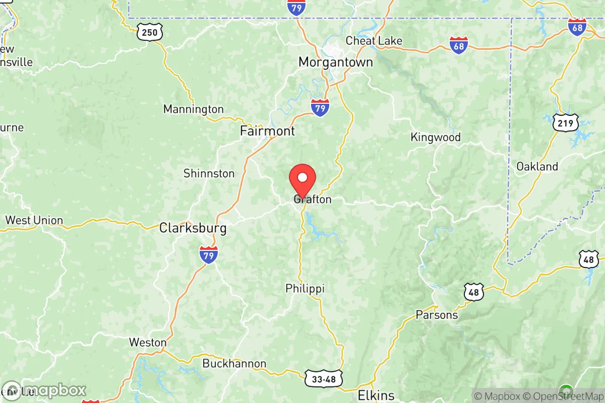
Taylor County, West Virginia, offers a compelling mix of geographic isolation and strategic access that appeals to relocation-minded individuals and families prioritizing resilience and self-sufficiency. Situated in the north-central part of the state, the county is anchored by the small city of Grafton, the county seat, and includes the communities of Flemington and Thornton. Its position along the Tygart Valley River and near the junction of U.S. Route 50 and U.S. Route 119 provides practical connectivity without the congestion and vulnerability of major metropolitan corridors. For a reader weighing disaster readiness and long-term stability, Taylor County presents a landscape where natural barriers, modest population density, and a historically self-reliant culture create a foundation for strategic relocation.
Geographic position and natural advantages for long-term security
Taylor County sits within the Appalachian Plateau, a region defined by rolling hills, forested ridges, and narrow river valleys that naturally limit large-scale development and funnel movement through a few key routes. This topography offers inherent defensibility: the county's terrain makes it difficult for any large-scale disruption—whether natural or man-made—to spread quickly across the area. The Tygart Valley River runs through Grafton and provides a reliable surface water source, while the surrounding Monongahela National Forest to the east and numerous state-managed wildlife areas offer both buffer zones and potential foraging or hunting grounds. The county's elevation, averaging around 1,200 feet, keeps it above the flood-prone lowlands of the Ohio River Valley while avoiding the extreme winter conditions of higher Appalachian peaks. For a relocator, this means a temperate climate with four distinct seasons, adequate rainfall (roughly 45 inches annually), and a growing season long enough to support substantial home food production. The area's distance from major coastal targets—roughly 200 miles from the Washington D.C. metro area and over 150 miles from Pittsburgh—places it outside the most likely zones of immediate fallout or panic-driven evacuation from those population centers.
Risk exposure and proximity to fallout-relevant landmarks
While Taylor County avoids the highest-risk zones, it is not without exposure. The most significant man-made risk comes from the Fort Martin Power Station, a coal-fired plant located roughly 15 miles northwest of Grafton along the Monongahela River in neighboring Monongalia County. Though not a nuclear facility, its coal ash ponds and chemical storage represent a localized industrial hazard. More critically, the county sits within roughly 100 miles of the Davis-Besse Nuclear Power Station in Ohio and the Beaver Valley Nuclear Power Station in Pennsylvania. In a worst-case scenario involving a nuclear incident at either facility, Taylor County would be downwind depending on seasonal weather patterns, though prevailing westerlies would carry fallout more directly into central Pennsylvania rather than into West Virginia. The county also lies within 120 miles of the Rockefeller Military Reservation and the Naval Surface Warfare Center Dahlgren in Virginia, both of which could be secondary targets in a conflict scenario. Natural risks are comparatively low: the region experiences occasional flash flooding along the Tygart Valley River, particularly in low-lying parts of Grafton, and minor seismic activity from the Eastern Tennessee Seismic Zone is possible but rarely damaging. Tornado activity is below the national average, and the county's forested terrain reduces wildfire risk compared to western states. For a relocator, the practical takeaway is that Taylor County is far enough from high-value targets to avoid primary blast zones and dense fallout patterns, but close enough to feel secondary effects from major infrastructure failures in the Ohio Valley or the Mid-Atlantic corridor.
Practical resilience for a relocator: food, water, energy, and defensibility
Taylor County's practical resilience hinges on its existing infrastructure and the ability of residents to establish independent systems. The county's water supply comes primarily from the Tygart Valley River and groundwater wells, with the Grafton Water Works serving the city and surrounding areas. For a relocator, drilling a private well is feasible in most rural parcels, with typical depths ranging from 100 to 300 feet and yields adequate for a household. The county's average annual rainfall supports rainwater catchment systems, and the forested landscape provides ample firewood for heating—a critical advantage if grid power fails. Electricity is supplied by Mon Power (a FirstEnergy subsidiary), with the Fort Martin and Harrison Power Station plants providing regional generation. However, the mountainous terrain makes the grid vulnerable to ice storms and wind events; power outages lasting several days occur annually. Solar potential is moderate—the region receives about 4.5 peak sun hours per day in summer, dropping to around 2 in winter—so a hybrid system with battery storage and a backup generator is recommended for anyone seeking true energy independence. Food resilience is strong: Taylor County has a history of small-scale agriculture, with local farms producing hay, cattle, poultry, and vegetables. The Grafton Farmers Market operates seasonally, and the county's soil, while rocky in places, supports home gardens with proper amendment. Hunting for white-tailed deer and wild turkey is popular and legal on public and private land, and fishing in the Tygart Valley River and nearby Tygart Lake provides additional protein. Defensibility is aided by the county's limited road network: U.S. Route 50 and U.S. Route 119 are the primary arteries, with secondary roads like County Route 1 and County Route 7 providing alternative routes but also chokepoints. The terrain itself—steep ridges, narrow valleys, and dense forest—makes the area difficult to navigate for anyone unfamiliar with it, which works to the advantage of residents who know the land. For a family or individual, the county offers a realistic environment for establishing a self-sufficient homestead, provided they invest in well water, alternative energy, and food storage before a crisis occurs.
The overall strategic picture for Taylor County is one of moderate resilience with clear trade-offs. It avoids the extreme risks of coastal or metropolitan areas while offering enough infrastructure and natural resources to support a self-reliant lifestyle. The county's location—close enough to regional medical centers in Morgantown and Clarksburg for routine needs, but far enough from high-value targets to reduce fallout exposure—strikes a practical balance. The primary vulnerabilities are the aging power grid, localized flooding in Grafton, and the psychological isolation that comes with rural living, which can be a challenge for families accustomed to suburban convenience. For the relocator who values preparedness, community ties, and a slower pace, Taylor County represents a defensible, resource-rich option in the Appalachian region. It is not a fortress, but it is a place where a determined household can build genuine resilience without the extreme costs or risks of more remote locations.

* Values derived from national, state, county, city and local statistics and may differ in a specific area. Last updated: 2026-08-08T15:02:26.000Z
Narrative content on this page is AI-generated and may contain mistakes. Verify any details that matter before acting on them.
ReloMaps may earn a commission from affiliate links at no extra cost to you.

