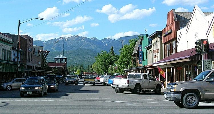
Photo: Wikipedia
Strategic Assessment of Whitefish, MT
Workable tactical position. Some exposure to population density or targets, but generally defensible in a crisis.
What does the Strategic Assessment tell us?
Our Strategic Assessment grades tactical survivability of an area. Major population centers, military targets, fallout zones, natural disasters, and border exposure all drive risk — lower exposure means a more defensible position in a crisis.
This is heavily inspired by Joel Skousen's Strategic Relocation book. Highly recommended you checkout the book ($)What does this tell us?
Our Strategic Assessment grades tactical survivability of an area. Major population centers, military targets, fallout zones, natural disasters, and border exposure all drive risk — lower exposure means a more defensible position in a crisis.
This is heavily inspired by Joel Skousen's Strategic Relocation book. Highly recommended you checkout the book ($)Strategic Pillars

Key Distances
Regional Safe Places
Below is our recommended "safe zones" in Montana and the surrounding area based on our strategic heuristics. For most people, it's unrealistic to live in a “safe zone” full-time due to work, family or other personal reasons. They tend to be more rural. However, many of these areas are perfect for second homes and retreat properties that double as a vacation home or even a short-term rental.
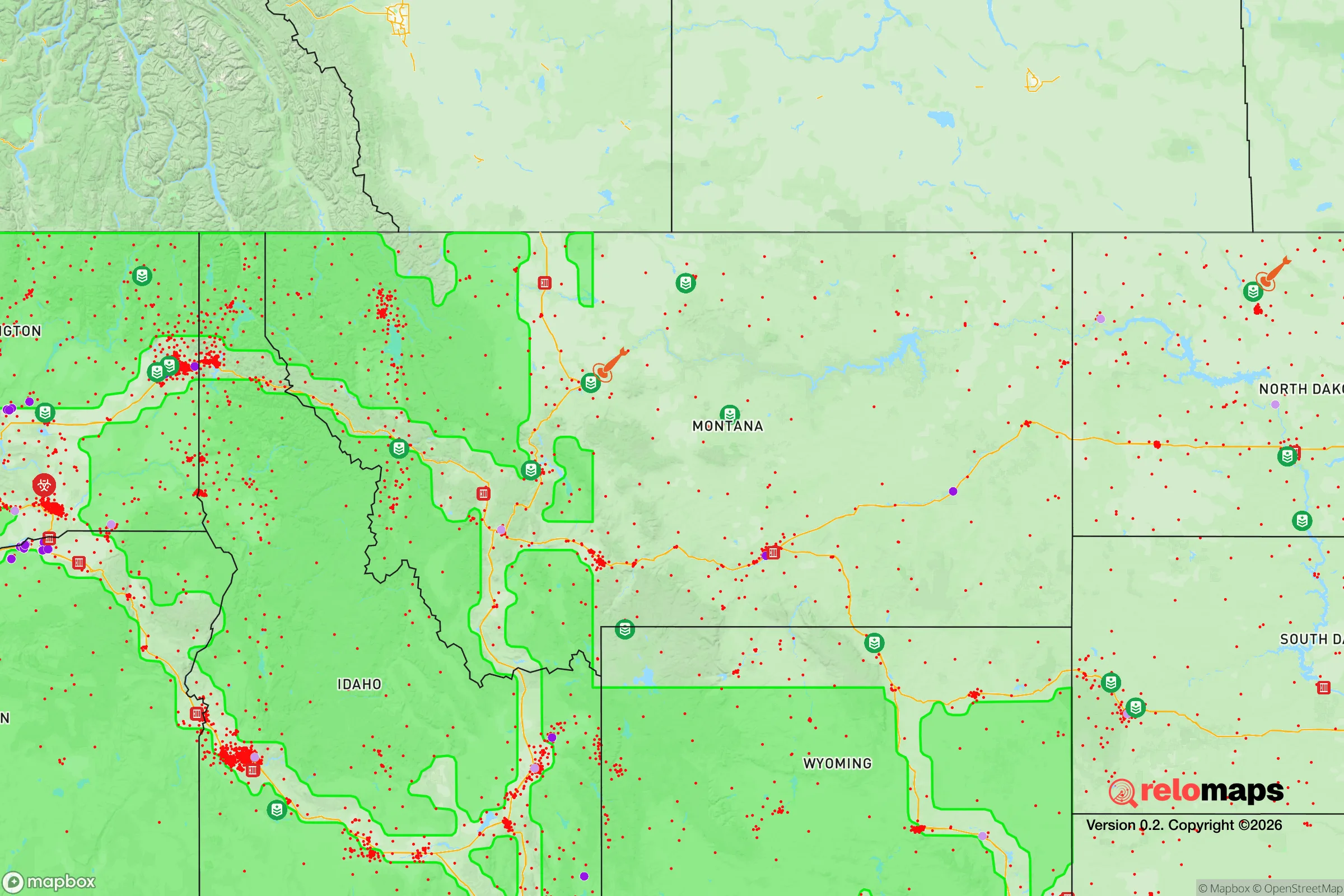

Important Note: For informational purposes only. This does not mean nothing bad ever happens in the green zones. Please use common sense. This is based on public data and modeled with AI. We tried to take a conservative approach but mistakes happen. We update this regularly as new information becomes available.
Solar Generator Recommendations
Backup power matters more here than in safer locations. We've picked three solar generators across budgets and capacity tiers — start with the budget unit if you only need a few essentials, or step up if you want to run a fridge and HVAC for days at a time.

Jackery Portable Power Station Explorer 300
Budget OptionPower on the Go: Weighing only 11 lbs, it's convenient to set up and store with book-sized foldable solar panels

BLUETTI Portable Power Station AC180
Designed for both indoor and outdoor scenarios, AC180 is highly capable as it has a robost capacity and continuous output power.

EF ECOFLOW DELTA Pro Ultra Power Station
Upgraded PickEcoFlow DELTA Pro Ultra is a whole-home energy system designed to grow with your family. Integrated with the Smart Home Panel 2, it scales to meet your evolving energy needs — keeping your home powered, intelligent, and secure through every stage of life.
We earn a commission, at no additional cost to you.
Strategic Assessment Analysis
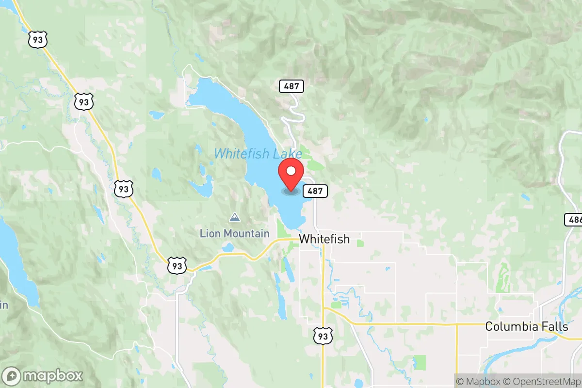
Whitefish, Montana, offers a compelling strategic position for those prioritizing resilience, but its advantages come with specific trade-offs that demand clear-eyed assessment. Nestled in the Flathead Valley against the Whitefish Range, this town of roughly 8,000 permanent residents sits far from major population centers—over 300 miles from Seattle and 250 from Spokane—yet remains connected via a major rail line and U.S. Highway 93. For a relocator with a prepper mindset, the key question isn't whether Whitefish is remote enough, but whether its specific geographic, logistical, and political realities align with your personal risk calculus in an era of potential civic unrest and systemic disruption.
Geographic position and natural advantages for long-term security
Whitefish's location in northwest Montana places it in one of the most sparsely populated regions of the lower 48, with Flathead County averaging just 25 people per square mile. The town sits at the southern edge of the Flathead Valley, flanked by the Whitefish Range to the west and the Swan Range to the east, creating natural chokepoints that slow movement from the south and west. The nearby Glacier National Park and Flathead National Forest provide a massive buffer of public land—over 3 million acres combined—that limits development and creates a de facto wilderness perimeter. This geography makes Whitefish inherently defensible: any large-scale movement of people from the I-5 corridor or the Front Range would have to funnel through a handful of mountain passes, giving residents significant advance warning and natural barriers. The area's elevation (3,000 feet) and northern latitude also mean cooler summers and reliable snowpack, reducing wildfire risk compared to lower-elevation Montana towns like Missoula or Bozeman. For a relocator, the key advantage is that Whitefish is not a through-town—it's a destination at the end of a spur line, which limits casual traffic and transient populations.
Risks, exposures, and proximity to fallout-relevant landmarks
No strategic assessment is honest without naming the hard realities. Whitefish sits roughly 60 miles from the Canadian border, which is both an asset and a liability. The border itself is a potential chokepoint during a national emergency, but the nearby ports of entry (Roosville, Piegan) are small and easily monitored. More concerning is the town's proximity to the Burlington Northern Santa Fe rail line, which runs through the center of Whitefish and carries hazardous materials, including crude oil from the Bakken fields. A derailment or intentional sabotage could contaminate the Whitefish River or disrupt the town's water supply. Additionally, the Hungry Horse Dam, about 30 miles southeast, is a major hydroelectric facility that could become a target during civil unrest—its failure would inundate downstream communities but leave Whitefish largely unaffected due to elevation. The nearest active military installation is Malmstrom Air Force Base in Great Falls, 200 miles east, which houses nuclear missile silos. While Whitefish is outside the immediate blast zone of any likely target, the rail and dam infrastructure represent credible single-point-of-failure risks that a serious prepper must account for. The town's reliance on a single major highway (US 93) for resupply is another vulnerability—a bridge failure or blockade at the Flathead River crossing would effectively isolate the valley.
Practical resilience for a relocator: food, water, energy, and defensibility
For a relocator serious about self-sufficiency, Whitefish presents a mixed picture. The growing season is short—roughly 90 days between last and first frost—which limits year-round food production without greenhouse infrastructure. However, the Flathead Valley has rich agricultural soil, and established farms in the nearby Kalispell area produce hay, grains, and livestock. Local food networks exist, including the Whitefish Farmers Market and several CSAs, but these are not scaled for a crisis scenario. Water is abundant: the Whitefish Lake and Whitefish River provide surface water, and the area's groundwater table is high enough that most properties can support a well. The town's municipal water comes from Haskill Creek and Whitefish Lake, but a prepper should plan for private well access or rainwater catchment. Electricity is supplied by Flathead Electric Cooperative, which has a decent reliability record but is vulnerable to winter storms and grid failures. Solar potential is moderate—the area gets about 160 sunny days per year, less than the Front Range—but micro-hydro from the many mountain streams is a viable alternative for properties with year-round flow. Defensibility is strong: the town's layout, with a compact downtown and residential areas spreading into forested hillsides, allows for multiple egress routes via forest service roads. The local culture leans heavily toward hunting, fishing, and outdoor skills, meaning a significant portion of the population already possesses practical survival knowledge. The Flathead County Sheriff's Office and Whitefish Police Department are professional but small—about 40 sworn officers county-wide—so in a prolonged disruption, communities would largely be on their own.
The overall strategic picture: is Whitefish the right fit?
Whitefish is not a bug-out location for someone seeking total isolation—it's a functioning small town with a tourist economy, a ski resort, and a growing population of remote workers and second-home owners. That means it has infrastructure (a hospital, grocery stores, hardware stores) that most remote locations lack, but it also means it has a visible population that could become a target during civil unrest. The town's political leanings are mixed: Flathead County voted +18 for Trump in 2020, but Whitefish itself has a noticeable progressive contingent, which can create friction in a crisis scenario. For a conservative-leaning relocator, the strategic calculus comes down to this: Whitefish offers a defensible, resource-rich location with strong community ties and a culture of self-reliance, but it is not a fortress. It is within striking distance of a major rail line and a hydroelectric dam, and its tourist economy means seasonal influxes of outsiders who may not share your values or preparedness level. If your goal is to be part of a resilient, like-minded community with access to wilderness and water, Whitefish is a strong candidate—but only if you arrive with your own food stores, water filtration, and a plan to secure your property against both natural and man-made threats. The town's real strength is its people: a mix of ranchers, loggers, guides, and veterans who understand hard work and mutual aid. In a worst-case scenario, that's worth more than any geographic advantage.
* Values derived from national, state, county, city and local statistics and may differ in a specific area. Last updated: 2026-04-29T21:12:37.000Z
Narrative content on this page is AI-generated and may contain mistakes. Verify any details that matter before acting on them.
ReloMaps may earn a commission from affiliate links at no extra cost to you.