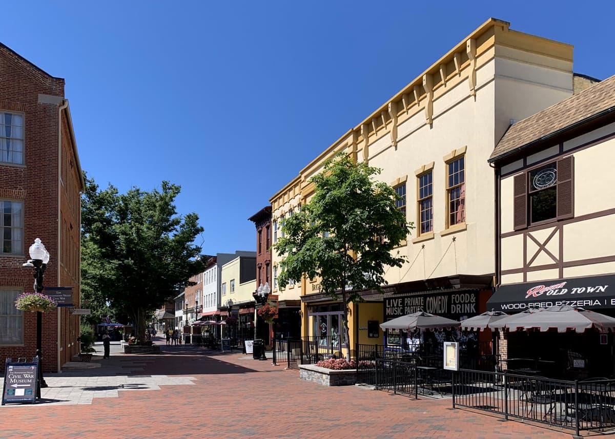
Photo: Wikipedia
Strategic Assessment of Winchester, VA
Meaningful friction. Expect exposure to either population pressure, blast zones, or natural disaster risk. Consider buying a retreat property.
What does the Strategic Assessment tell us?
Our Strategic Assessment grades tactical survivability of an area. Major population centers, military targets, fallout zones, natural disasters, and border exposure all drive risk — lower exposure means a more defensible position in a crisis.
This is heavily inspired by Joel Skousen's Strategic Relocation book. Highly recommended you checkout the book ($)What does this tell us?
Our Strategic Assessment grades tactical survivability of an area. Major population centers, military targets, fallout zones, natural disasters, and border exposure all drive risk — lower exposure means a more defensible position in a crisis.
This is heavily inspired by Joel Skousen's Strategic Relocation book. Highly recommended you checkout the book ($)Strategic Pillars

Key Distances
Regional Safe Places
Below is our recommended "safe zones" in Virginia and the surrounding area based on our strategic heuristics. For most people, it's unrealistic to live in a “safe zone” full-time due to work, family or other personal reasons. They tend to be more rural. However, many of these areas are perfect for second homes and retreat properties that double as a vacation home or even a short-term rental.


Important Note: For informational purposes only. This does not mean nothing bad ever happens in the green zones. Please use common sense. This is based on public data and modeled with AI. We tried to take a conservative approach but mistakes happen. We update this regularly as new information becomes available.
Solar Generator Recommendations
Backup power matters more here than in safer locations. We've picked three solar generators across budgets and capacity tiers — start with the budget unit if you only need a few essentials, or step up if you want to run a fridge and HVAC for days at a time.

Jackery Portable Power Station Explorer 300
Budget OptionPower on the Go: Weighing only 11 lbs, it's convenient to set up and store with book-sized foldable solar panels

BLUETTI Portable Power Station AC180
Designed for both indoor and outdoor scenarios, AC180 is highly capable as it has a robost capacity and continuous output power.

EF ECOFLOW DELTA Pro Ultra Power Station
Upgraded PickEcoFlow DELTA Pro Ultra is a whole-home energy system designed to grow with your family. Integrated with the Smart Home Panel 2, it scales to meet your evolving energy needs — keeping your home powered, intelligent, and secure through every stage of life.
We earn a commission, at no additional cost to you.
Strategic Assessment Analysis
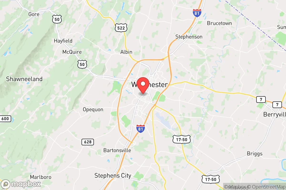
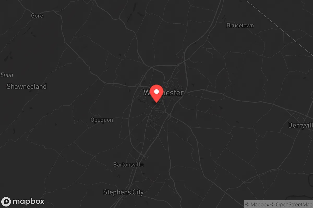
Winchester, Virginia, offers a surprisingly resilient strategic position for those prioritizing preparedness, sitting at the northern edge of the Shenandoah Valley with a population of roughly 28,000. Its location provides a critical buffer: far enough from the immediate blast zones and civil unrest of Washington, D.C. (about 75 miles east) to avoid the worst of a collapse scenario, yet close enough to a major metro area to have maintained robust infrastructure and supply chains. The city’s historical role as a gateway through the Blue Ridge Mountains means it controls key transportation corridors, a fact not lost on anyone thinking about movement and logistics in a crisis.
Geographic position and natural advantages for long-term security
Winchester sits in a natural fortress. The Blue Ridge Mountains to the east and the Allegheny Front to the west create a funnel that historically made the area a strategic chokepoint during the Civil War. For modern preppers, this means the terrain offers natural defensibility and multiple escape routes into less populated areas like Hardy County, West Virginia, or the George Washington National Forest. The city itself is situated on the Opequon Creek watershed, with the Shenandoah River just a few miles east, providing reliable surface water sources that won't be immediately contaminated by a coastal or D.C.-centric event. The valley’s limestone bedrock also means decent groundwater potential for well drilling, a key advantage over areas reliant on municipal reservoirs. The local climate is temperate, with four distinct seasons and an average growing season of about 170 days, which is workable for subsistence agriculture if you have the land and seed stock. The area’s elevation—around 725 feet—keeps it above the worst valley fog and flood risks, while the surrounding mountains provide natural windbreaks and concealment from aerial observation.
Risks, exposures, and proximity to fallout-relevant landmarks
The biggest strategic liability is Winchester’s proximity to the D.C. metroplex and its associated targets. While 75 miles provides some standoff, a major nuclear exchange or EMP event targeting the capital would still create significant fallout drift patterns depending on wind direction. The prevailing winds in the region are from the west and northwest, which means fallout from a D.C. strike would likely blow eastward, sparing the valley. However, a strike on the Pentagon or CIA headquarters could produce a secondary plume that might reach the eastern edge of Frederick County. More concerning is the I-81 corridor, which runs directly through Winchester. This is a major north-south logistics artery, and in a collapse scenario, it would become a funnel for refugees fleeing the Baltimore-Washington corridor. The city’s position as a transportation hub—with I-81, US-50, and US-522 converging—means it would be a natural chokepoint for both movement and potential conflict. The nearby Dulles International Airport (about 50 miles east) is a high-value target, and the Winchester Regional Airport could become a contested asset. Additionally, the area has several data centers and communication relay stations on the surrounding ridges that could be secondary targets. The risk of civil unrest is moderate: the city has a history of stable governance, but the influx of D.C.-area transplants in recent years has shifted local demographics, potentially creating friction between long-term residents and newcomers who may not share the same survivalist mindset.
Practical resilience for a relocator: food, water, energy, and defensibility
For a relocator looking to set up a sustainable homestead, Winchester offers a mixed bag. The Shenandoah Valley is prime agricultural land, with local farms producing apples, corn, soybeans, and livestock. The Winchester Farmers Market operates year-round, and there are several local grain mills and meat processors that could be leveraged for bulk purchasing and storage. Water is generally plentiful, but municipal supply comes from the Opequon Creek and the Shenandoah River, both of which are vulnerable to upstream contamination or sabotage. A private well with a hand pump is a must for any serious prepper here. The local power grid is served by Dominion Energy, which has a mixed reliability record—winter ice storms and summer thunderstorms cause frequent outages, so solar with battery backup is a wise investment. The terrain around Winchester is rolling hills and farmland, which offers decent defensibility if you choose a property with good sight lines and limited road access. The city itself is not particularly defensible in a grid-down scenario—it’s a typical small city with a historic downtown and suburban sprawl—but the surrounding rural areas in Frederick County and into West Virginia provide excellent options for a retreat property. The local gun culture is strong, with several gun shops and ranges in the area, and Virginia’s firearm laws are relatively permissive compared to the D.C. suburbs. However, note that Virginia has enacted some restrictions on magazine capacity and red flag laws in recent years, so you’ll want to stay current on legal changes. Medical infrastructure is decent: Winchester Medical Center is a level II trauma center with a helipad, but in a major event, it would be overwhelmed quickly. Having a robust medical kit and training is non-negotiable.
Overall, Winchester presents a viable but not ideal strategic relocation option for the conservative prepper. Its strengths are its agricultural base, water access, and natural terrain advantages, along with a local population that largely understands self-reliance. Its weaknesses are its proximity to a major target zone and its position on a critical evacuation corridor. If you’re looking for a place to ride out the initial shock of a national crisis and then transition to a more remote retreat, Winchester works as a staging area. If you’re seeking a final bug-out location with absolute isolation and minimal risk of refugee flow, you’ll want to push another 50 miles west into the West Virginia mountains. The city’s real value is as a hub for resupply and information gathering in the early days of a collapse, before the crowds arrive. Plan accordingly, and don’t underestimate the I-81 corridor—it will be the first place things get ugly.
* Values derived from national, state, county, city and local statistics and may differ in a specific area. Last updated: 2026-05-01T01:48:50.000Z
Narrative content on this page is AI-generated and may contain mistakes. Verify any details that matter before acting on them.
ReloMaps may earn a commission from affiliate links at no extra cost to you.