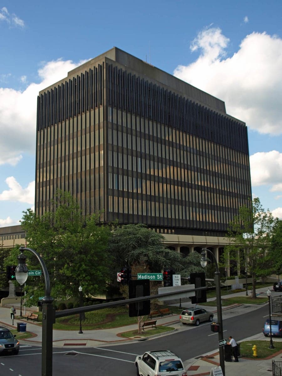
Photo: Wikipedia
Strategic Assessment of Madison County
Workable tactical position. Some exposure to population density or targets, but generally defensible in a crisis.
What does the Strategic Assessment tell us?
Our Strategic Assessment grades tactical survivability of an area. Major population centers, military targets, fallout zones, natural disasters, and border exposure all drive risk — lower exposure means a more defensible position in a crisis.
This is heavily inspired by Joel Skousen's Strategic Relocation book. Highly recommended you checkout the book ($)What does this tell us?
Our Strategic Assessment grades tactical survivability of an area. Major population centers, military targets, fallout zones, natural disasters, and border exposure all drive risk — lower exposure means a more defensible position in a crisis.
This is heavily inspired by Joel Skousen's Strategic Relocation book. Highly recommended you checkout the book ($)Strategic Pillars

Key Distances
Strategic Assessment Analysis
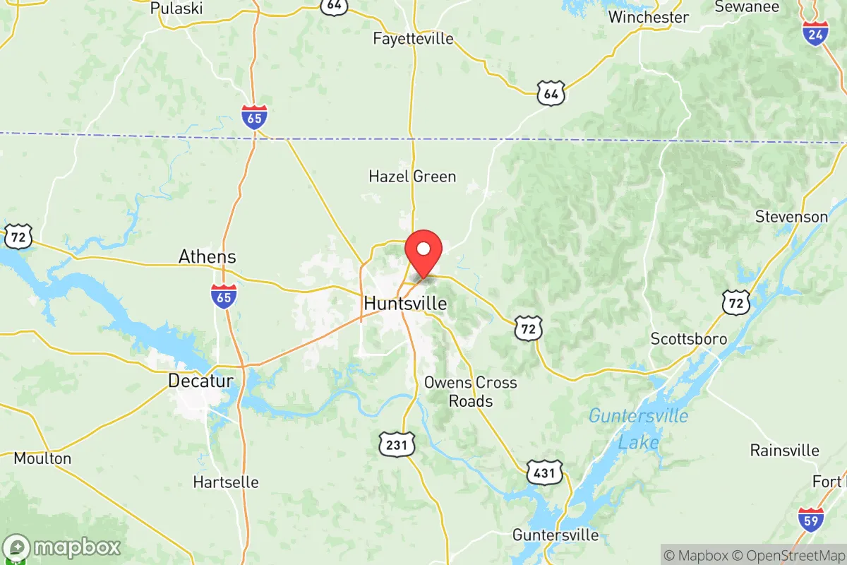
Madison County, Alabama offers a compelling mix of geographic insulation and practical infrastructure that makes it a serious option for relocators focused on long-term resilience and self-sufficiency. The county’s location in the north-central part of the state, anchored by the city of Huntsville, places it firmly away from the Gulf Coast hurricane zones and the more volatile economic centers of the Deep South, providing a stable base for individuals and families looking for a strategic, defensible home. With a population of roughly 420,000 and a robust local economy driven by federal defense and aerospace contracts, the area presents a unique balance of rural access and urban convenience that supports sustained preparedness.
Geographic position and natural defense factors in Madison County
Madison County’s primary strategic advantage is its topography and inland location. Unlike many Southern regions that face annual hurricane threats, the county sits over 300 miles inland, well removed from the storm surge and wind damage that plague coastal Alabama and Mississippi. The region is also situated in the Tennessee Valley, which provides a natural buffer of low rolling hills and moderate elevation—generally 600 to 800 feet above sea level—that reduces the risk of catastrophic flooding despite the presence of the Tennessee River border. The county’s boundaries include the southern bank of the Tennessee River, with the larger part of the county lying to the south, while the cities of Huntsville, Madison, and the historic town of Mooresville sit on the more stable plateau. The area is not in a major seismic zone, and tornado risk, while present, is lower than in the core “Dixie Alley” corridor to the west and south; the county averages about 1-2 tornado warnings per year, compared to 4-6 in parts of central Alabama. The natural landscape also includes the Wheeler National Wildlife Refuge and several forested corridors, which provide both timber resources and natural barriers that can complicate overland access for any potential external threats.
Exposure risks and proximity to critical infrastructure and targets
While Madison County’s geographic isolation is generally positive, its economic engine—the Redstone Arsenal military base—is a significant man-made risk factor that requires honest assessment. Redstone Arsenal, located just south of Huntsville in the city of Huntsville’s southern edges, is a major U.S. Army aviation, missile, and space command center. It hosts the Army Materiel Command, the Missile Defense Agency, and the NASA Marshall Space Flight Center. This concentration of high-value military and space assets makes the base a primary target in any large-scale conflict, with Huntsville and Madison County ranking as one of the most likely domestic targets in the southeastern United States. The proximity of the base to Huntsville International Airport and the nearby I-65 and I-565 corridors further compounds this exposure. Additionally, the county’s position near the Tennessee River barge traffic and the Tennessee Valley Authority (TVA) power grid—which includes the Browns Ferry Nuclear Plant in neighboring Limestone County—introduces secondary risks. A worst-case event at the nuclear plant or a direct strike on Redstone could create a fallout or contamination zone that would affect Madison County’s southern and western areas, especially the cities of Huntsville, Madison, and the smaller town of Triana. For a resilience-minded relocator, this exposure is the single most significant trade-off: the economic stability the base provides comes with a clear vulnerability that cannot be mitigated by personal preparedness alone.
Practical resilience for a relocator: food, water, energy, and defensibility
In terms of day-to-day survivability and self-sufficiency, Madison County scores well on most fronts. Water access is excellent: the Tennessee River runs along the northern and western county line, and the county’s aquifer is deep and reliable, with most private wells in rural areas producing water at depths of 150-300 feet. The Huntsville Utilities system treats water from the Tennessee River and distributes it county-wide, but a well-equipped property in the outskirts near Hazel Green or New Market offers true independence from the grid. Food production is supported by decent soil in the northern and eastern parts of the county, with the Tennessee Valley’s loamy clay and moderate growing season of about 210 frost-free days allowing for strong vegetable gardens, small livestock, and orchard fruit. The city of Huntsville itself hosts a dense network of Krogers, Publix, and Walmart stores, but rural properties within 20-30 minutes of those hubs are still accessible for supply runs without the density of a major metro. Energy infrastructure is stabilized by TVA’s hydro and nuclear base load, but the grid is not hardened against electromagnetic pulse (EMP) events. However, the county’s rolling terrain and tree cover provide natural defensibility for a well-chosen property: the forested hollows around the Flint River and the community of Owens Cross Roads offer concealed access and natural choke points that a prepared family could secure with basic perimeter measures. The local sheriff’s department in Huntsville and county law enforcement across the rural areas are well-funded and responsive, but in a prolonged grid-down scenario, the real defensive strength lies in the county’s low population density outside the city limits—roughly 120 people per square mile in the unincorporated areas versus Huntsville’s 1,500-plus per square mile. A smart relocator will target property east of I-65 and south of the river, away from the base’s immediate fallout zone, to maximize defensibility while retaining access to Huntsville’s medical and supply resources.
Overall, Madison County presents a real, but nuanced, strategic picture. The economic engine of Redstone Arsenal is a double-edged sword—it provides stable employment, excellent schools, and a highly educated population, but it also makes the area a target. For a relocator who values community resilience, access to water and farmland, and a moderate climate, and is willing to accept the risk of being near a major military installation, Madison County is a solid choice. The key is purposeful positioning: buying property on the eastern or northern edges, away from the base’s plume zones, and building practical self-reliance through well water, solar backups, and food storage. It’s not a bug-out location far from civilization, but it is a well-resourced, defensible region for a prepared family that wants to stay engaged with a stable economy while maintaining the option to hunker down when needed.

* Values derived from national, state, county, city and local statistics and may differ in a specific area. Last updated: 2026-09-13T18:42:45.000Z
Narrative content on this page is AI-generated and may contain mistakes. Verify any details that matter before acting on them.
ReloMaps may earn a commission from affiliate links at no extra cost to you.

