Photo: Wikipedia
Strategic Assessment of Anchorage County
Workable tactical position. Some exposure to population density or targets, but generally defensible in a crisis.
What does the Strategic Assessment tell us?
Our Strategic Assessment grades tactical survivability of an area. Major population centers, military targets, fallout zones, natural disasters, and border exposure all drive risk — lower exposure means a more defensible position in a crisis.
This is heavily inspired by Joel Skousen's Strategic Relocation book. Highly recommended you checkout the book ($)What does this tell us?
Our Strategic Assessment grades tactical survivability of an area. Major population centers, military targets, fallout zones, natural disasters, and border exposure all drive risk — lower exposure means a more defensible position in a crisis.
This is heavily inspired by Joel Skousen's Strategic Relocation book. Highly recommended you checkout the book ($)Strategic Pillars

Key Distances
Strategic Assessment Analysis
Anchorage County, Alaska, offers a unique strategic profile for relocation-minded readers who prioritize resilience and self-sufficiency. Its geographic isolation from the contiguous United States, combined with its role as the state's primary logistical and military hub, creates a complex picture of advantages and vulnerabilities. For those considering a move with an eye toward disaster readiness, Anchorage County presents a trade-off: significant natural resource abundance and low population density relative to the Lower 48, offset by exposure to seismic risks and proximity to high-value military and energy infrastructure that could become fallout-relevant landmarks in a crisis.
Geographic position and natural advantages for self-sufficiency
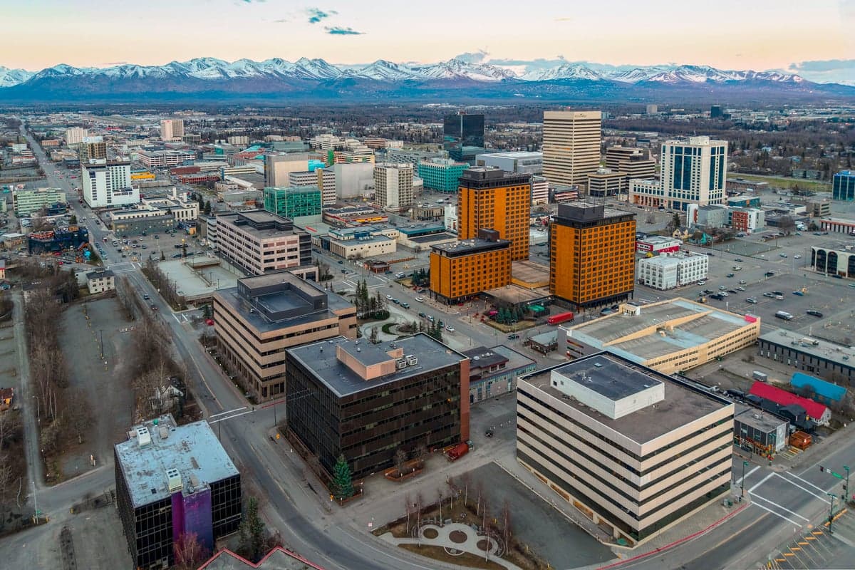
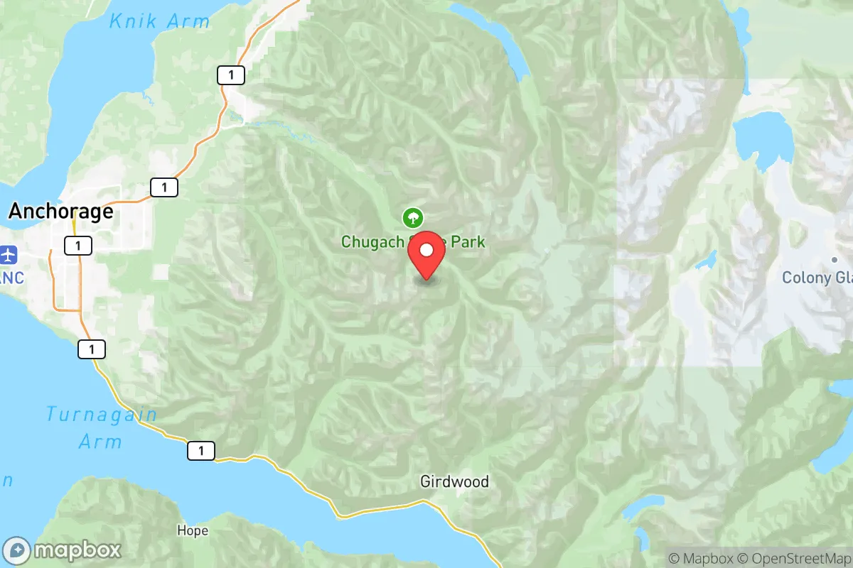
Anchorage County sits at the head of Cook Inlet, surrounded by the Chugach Mountains to the east and the Talkeetna Mountains to the north, providing a natural bowl-like defensibility that limits approach routes. The county's 1,700 square miles include the city of Anchorage itself, as well as the smaller communities of Eagle River, Girdwood, and Indian. This positioning offers direct access to the Gulf of Alaska via the Port of Anchorage, which handles roughly 85% of all goods entering the state — a critical asset for anyone thinking about supply chain resilience. The surrounding terrain includes vast tracts of state and federal land, including Chugach State Park, which borders the city and provides immediate access to hunting, fishing, and foraging grounds. The climate, while cold, is moderated by the Pacific Ocean, meaning winters are milder than interior Alaska, with average January highs around 22°F, reducing the extreme survival challenges found in Fairbanks or the North Slope. The county also sits atop significant freshwater resources, including the Eklutna River and Ship Creek, both of which flow through the municipality and offer reliable water sources independent of municipal infrastructure.
Risks, exposures, and proximity to fallout-relevant landmarks
The most significant natural risk in Anchorage County is seismic activity. The area lies within the Cook Inlet seismicity zone, and the 1964 Good Friday earthquake — a 9.2-magnitude event — remains a benchmark for potential destruction. The risk of liquefaction in the Anchorage Bowl, particularly in the Turnagain and Government Hill neighborhoods, is well-documented and should factor into any property selection. Beyond natural hazards, the county hosts several high-value infrastructure targets that could become fallout-relevant in a conflict scenario. Joint Base Elmendorf-Richardson (JBER), a combined Air Force and Army installation located within the Anchorage city limits, is a major strategic asset for U.S. Pacific Command and houses fighter squadrons, missile defense systems, and a large military population. The Port of Anchorage, while essential for supply, is also a single-point-of-failure for the region's logistics. Additionally, the Tesoro and Petro Star refineries on the Kenai Peninsula, while technically outside the county, are within 60 miles and represent energy infrastructure that could be targeted or disrupted. For a relocator concerned with fallout proximity, being within 10 miles of JBER or the port is a clear negative, though the county's sheer size means rural properties in the Chugach foothills or along the Knik Arm offer greater standoff distance.
Practical resilience for a relocator: food, water, energy, and defensibility
Anchorage County's practical resilience is a mixed bag. On the positive side, the area has abundant surface water — Eklutna Lake alone holds over 200,000 acre-feet — and the municipality's water utility draws from protected watersheds, but a well on private property is the gold standard for self-sufficiency, and many rural parcels in the county allow for it. Food resilience is strong by Alaskan standards: the Matanuska-Susitna Valley, just 40 miles north of Anchorage, is one of the most productive agricultural regions in the state, known for large-scale vegetable farming and livestock operations. The Anchorage Farmers Market and local CSAs provide direct access, but a relocator should plan for a 3-4 month growing season and invest in greenhouse infrastructure. Energy is a vulnerability: the county relies on natural gas from Cook Inlet fields and a grid connection that is not redundant. Power outages during winter storms are common, and a backup generator or solar-plus-battery system is a practical necessity. Defensibility varies dramatically by location. Properties in the Chugach foothills or along the Knik Arm offer natural chokepoints and limited road access, while suburban neighborhoods in Eagle River or South Anchorage are more exposed. The county's gun culture is robust, with a high rate of firearm ownership and a permissive regulatory environment, which aligns with the self-defense priorities of a conservative-leaning audience. However, the presence of JBER means a significant federal law enforcement and military presence, which could complicate post-crisis movement or resource control.
The overall strategic picture for Anchorage County is one of high potential tempered by specific, manageable risks. For a relocator willing to invest in seismic retrofitting, off-grid energy, and a property with adequate standoff from JBER and the port, the county offers a rare combination of resource abundance, low population density, and logistical access to the rest of Alaska. The key is to avoid the Anchorage Bowl's liquefaction zones and the immediate vicinity of military infrastructure, while securing a parcel with its own water and a defensible position. For those who can navigate those constraints, Anchorage County represents one of the more viable options for a serious resilience-minded relocation within the United States.

* Values derived from national, state, county, city and local statistics and may differ in a specific area. Last updated: 2026-08-04T14:15:39.000Z
Narrative content on this page is AI-generated and may contain mistakes. Verify any details that matter before acting on them.
ReloMaps may earn a commission from affiliate links at no extra cost to you.

