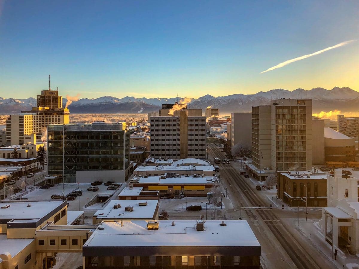
Photo: Wikipedia
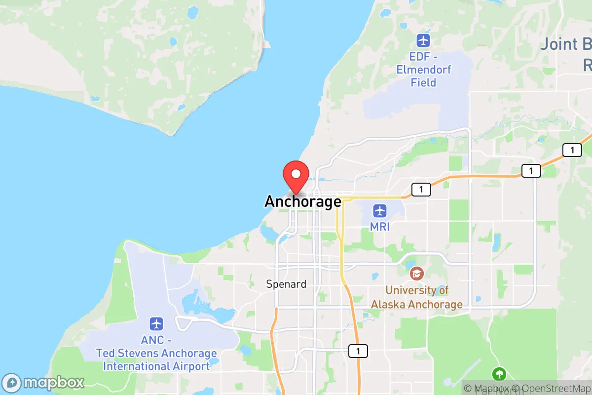
Strategic Assessment of Anchorage, AK
Workable tactical position. Some exposure to population density or targets, but generally defensible in a crisis.
What does the Strategic Assessment tell us?
Our Strategic Assessment grades tactical survivability of an area. Major population centers, military targets, fallout zones, natural disasters, and border exposure all drive risk — lower exposure means a more defensible position in a crisis.
This is heavily inspired by Joel Skousen's Strategic Relocation book. Highly recommended you checkout the book ($)What does this tell us?
Our Strategic Assessment grades tactical survivability of an area. Major population centers, military targets, fallout zones, natural disasters, and border exposure all drive risk — lower exposure means a more defensible position in a crisis.
This is heavily inspired by Joel Skousen's Strategic Relocation book. Highly recommended you checkout the book ($)Strategic Pillars

Key Distances
Regional Safe Places
Below is our recommended "safe zones" in Alaska and the surrounding area based on our strategic heuristics. For most people, it's unrealistic to live in a “safe zone” full-time due to work, family or other personal reasons. They tend to be more rural. However, many of these areas are perfect for second homes and retreat properties that double as a vacation home or even a short-term rental.
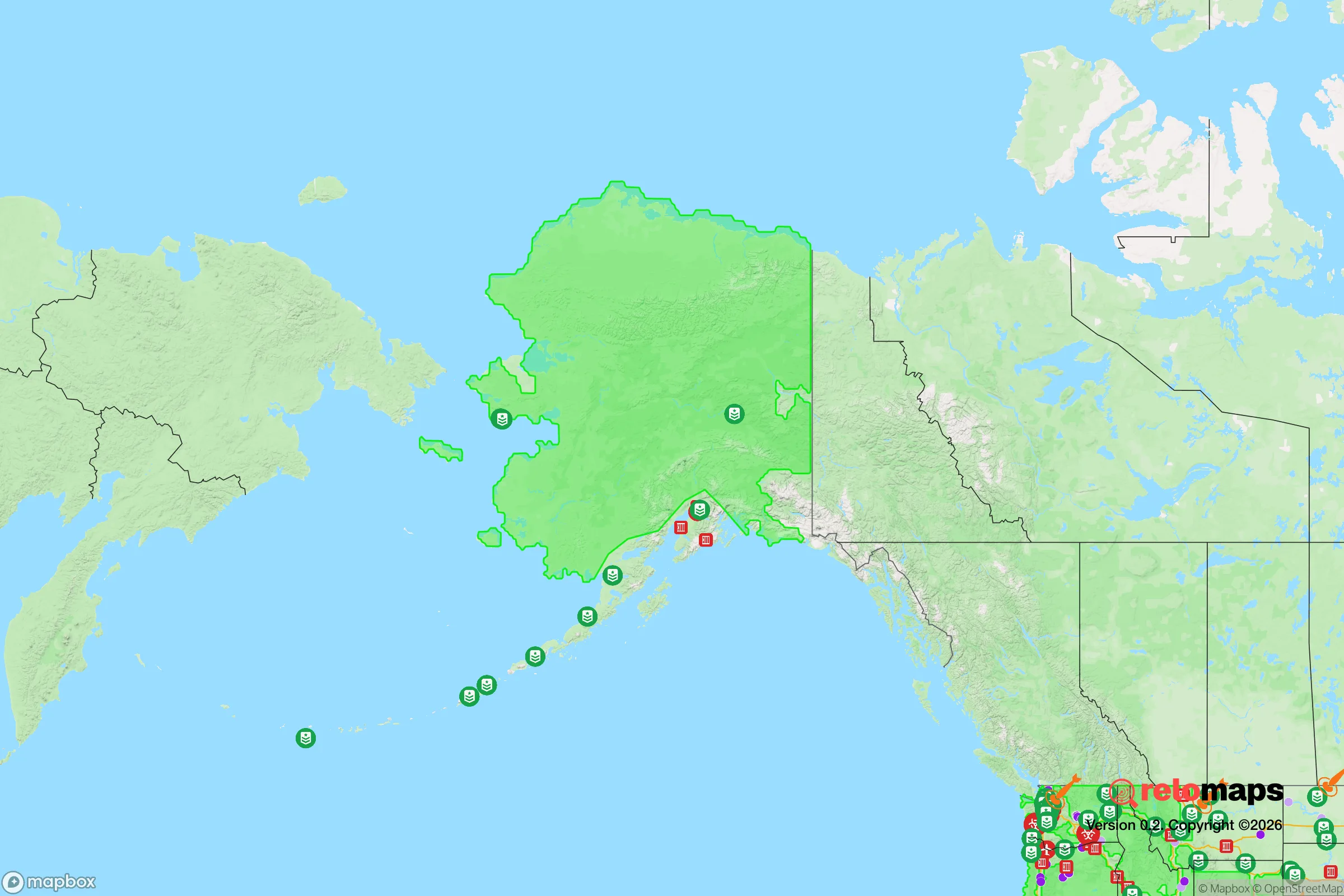
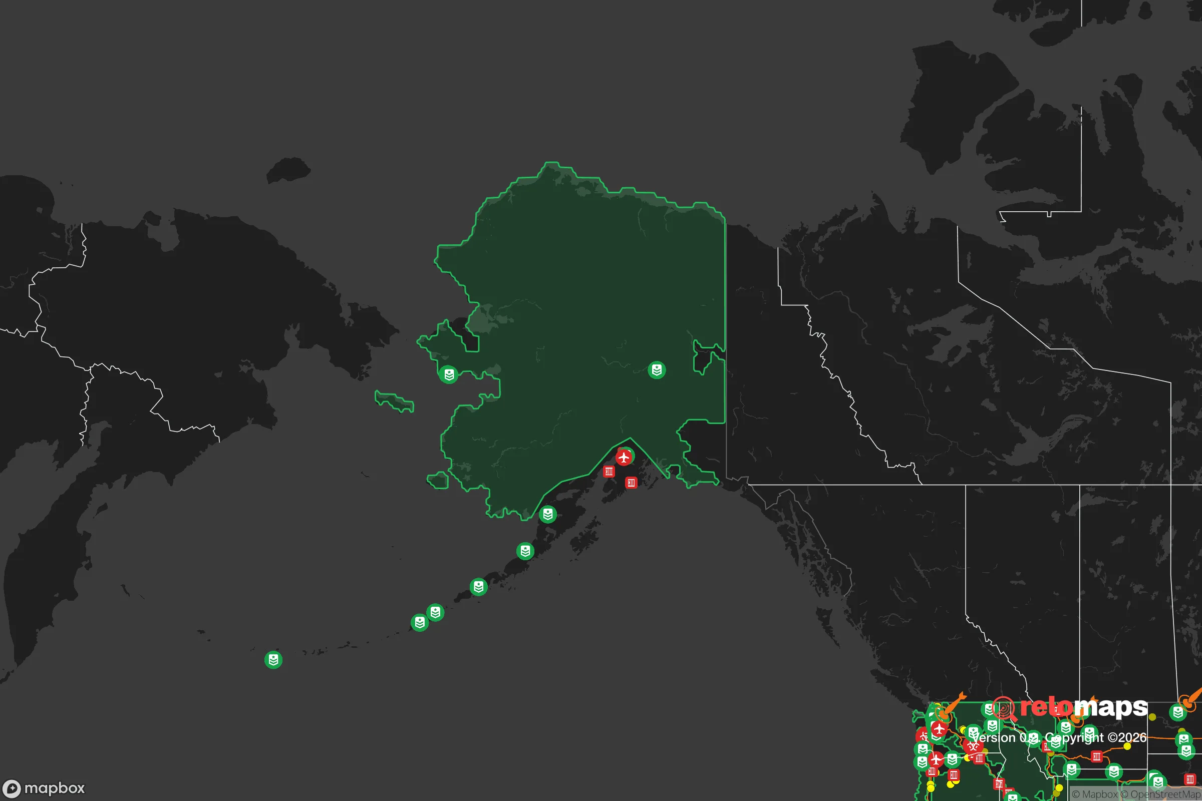
Important Note: For informational purposes only. This does not mean nothing bad ever happens in the green zones. Please use common sense. This is based on public data and modeled with AI. We tried to take a conservative approach but mistakes happen. We update this regularly as new information becomes available.
Solar Generator Recommendations
Backup power matters more here than in safer locations. We've picked three solar generators across budgets and capacity tiers — start with the budget unit if you only need a few essentials, or step up if you want to run a fridge and HVAC for days at a time.

Jackery Portable Power Station Explorer 300
Budget OptionPower on the Go: Weighing only 11 lbs, it's convenient to set up and store with book-sized foldable solar panels

BLUETTI Portable Power Station AC180
Designed for both indoor and outdoor scenarios, AC180 is highly capable as it has a robost capacity and continuous output power.

EF ECOFLOW DELTA Pro Ultra Power Station
Upgraded PickEcoFlow DELTA Pro Ultra is a whole-home energy system designed to grow with your family. Integrated with the Smart Home Panel 2, it scales to meet your evolving energy needs — keeping your home powered, intelligent, and secure through every stage of life.
We earn a commission, at no additional cost to you.
Strategic Assessment Analysis
Anchorage offers a rare combination of geographic isolation, resource abundance, and logistical independence that makes it one of the most strategically resilient locations in the United States for those prioritizing long-term preparedness. While the Lower 48 grows increasingly entangled in fragile supply chains, dense population corridors, and political volatility, Alaska’s largest city sits at the end of the road—literally and figuratively—with a built-in buffer that few other urban centers can match. For a relocator thinking in terms of decades, not election cycles, Anchorage presents a serious option, but one that requires understanding both its natural advantages and its real vulnerabilities.
Geographic isolation and natural strategic advantages
Anchorage is pinned between the Chugach Mountains and Cook Inlet, roughly 2,000 miles from Seattle by air and completely disconnected from the contiguous U.S. road network. That isolation is the single most important strategic feature. No major population centers exist within 1,000 miles—Fairbanks is 360 miles north, and the nearest Canadian city of comparable size is Edmonton, over 1,500 miles away. This distance from the Lower 48’s urban cores means Anchorage is effectively immune to the cascading effects of a major grid-down event in the contiguous states. There are no interstate highways feeding into it, no rail lines connecting it to the rest of North America, and only a single road—the Glenn Highway—that leads out of town toward the interior. In a scenario involving civil unrest, mass casualty events, or a breakdown of federal logistics, Anchorage would be one of the last places to feel the ripple effects, and one of the hardest for outside chaos to reach.
The natural environment also provides a defensive layer. The surrounding mountains and tidal flats create chokepoints for any ground approach, and the climate itself—long, dark winters with temperatures regularly below zero—acts as a filter for anyone unprepared. The Port of Anchorage handles roughly 85% of all goods entering the state, giving the city a direct maritime link to the West Coast, but that same port is ice-free year-round and can be secured more easily than a sprawling East Coast harbor. For a prepper, the calculus is simple: Anchorage is hard to get to, hard to supply from the outside, and hard to overrun without significant logistical preparation.
Risks, exposures, and proximity to fallout-relevant landmarks
No strategic assessment is honest without addressing the downsides. Anchorage sits in an active seismic zone—the 1964 Good Friday earthquake, a 9.2-magnitude event, remains the most powerful ever recorded in North America. The city has modern building codes, but a major quake could disrupt the port, the airport, and the fuel storage facilities along the Turnagain Arm. That’s a real vulnerability, especially since the city’s entire fuel supply arrives by tanker ship and is stored in above-ground tanks near the coast. A quake or tsunami could cut off fuel for weeks or months.
Proximity to military and government infrastructure is a double-edged sword. Joint Base Elmendorf-Richardson (JBER) sits right next to Anchorage, housing the 3rd Wing and the Army’s 4th Brigade Combat Team. In a national emergency, that base becomes a hub for federal operations, which could draw unwanted attention or become a target. Fort Greely, about 300 miles northeast, hosts Ground-Based Interceptors for missile defense, and Clear Space Force Station, 80 miles south of Fairbanks, is a radar site for early warning. While these installations provide a security presence, they also make the region a potential priority for any adversary looking to degrade U.S. strategic capabilities. For someone trying to stay off the grid and out of the crosshairs, living within 50 miles of a major military base is a trade-off worth weighing carefully.
Fallout risks are minimal compared to the Lower 48. There are no nuclear power plants within 1,000 miles, no major chemical facilities, and no dense urban targets. However, the aforementioned military sites could be primary or secondary targets in a conflict involving strategic weapons. The prevailing winds in Alaska generally blow from west to east, meaning fallout from a strike on JBER or Fort Greely would likely disperse over sparsely populated areas or the Gulf of Alaska, not over Anchorage itself. Still, a relocator should plan for the possibility of temporary evacuation or sheltering in place if the worst happens.
Practical resilience for a relocator: food, water, energy, and defensibility
Anchorage’s practical resilience is where it truly shines for a prepared individual. The city sits on a massive freshwater aquifer—the Ship Creek watershed alone provides enough water for the entire population, and most homes have access to well water or municipal supply that doesn’t rely on complex treatment plants. In a grid-down scenario, gravity-fed streams from the Chugach are within walking distance of many neighborhoods. Food security is more complicated. Alaska imports roughly 95% of its food, mostly through the Port of Anchorage. That means any disruption to shipping—whether from a port strike, fuel shortage, or global supply chain collapse—would empty grocery shelves within two to three weeks. The counterbalance is that Anchorage has some of the most permissive hunting and fishing regulations in the country. Moose, caribou, salmon, and halibut are abundant within a short drive or boat ride. A relocator with a freezer, a hunting license, and basic field skills can supplement or replace store-bought protein indefinitely.
Energy is a mixed bag. Most homes in Anchorage rely on natural gas from the Cook Inlet basin, which is locally sourced and not dependent on pipelines from the Lower 48. That’s a major advantage. Electricity comes from a mix of natural gas, hydro, and wind, with the Railbelt grid connecting Anchorage to Fairbanks. In a prolonged outage, the gas supply would likely hold for weeks, but the electrical grid is vulnerable to ice storms and seismic events. A serious prepper should plan for off-grid heat—wood stoves are common in outlying areas—and solar panels with battery storage, which work surprisingly well in the long summer days but require backup for the dark winter months.
Defensibility is excellent by urban standards. Anchorage is spread out over nearly 2,000 square miles, with a population density of about 170 people per square mile—roughly one-tenth that of Seattle. Neighborhoods like Eagle River, Girdwood, and the Hillside offer rural feel within 30 minutes of downtown, with properties that have natural cover, limited road access, and good sightlines. The city’s layout, with its dead-end roads and cul-de-sacs, makes it easy to secure a small perimeter. For a family or individual looking to hunker down, Anchorage offers the rare ability to live in a city with hospital access and supply lines while maintaining a defensible home base that would be a nightmare for any organized group to approach without being seen.
The overall strategic picture for Anchorage is one of high reward with manageable risk, provided the relocator goes in with eyes open. It is not a bug-out location for a weekend warrior—it requires serious logistical planning, a tolerance for cold and darkness, and a willingness to invest in food storage and alternative energy. But for someone looking to put serious distance between their family and the unraveling of the Lower 48’s social and economic fabric, Anchorage offers a combination of isolation, natural resources, and defensible geography that is nearly impossible to find anywhere else in the country. The military presence and seismic risk are real concerns, but they are calculable and can be mitigated with proper planning. In a world where every major city in the contiguous U.S. is within a day’s drive of another, Anchorage remains genuinely remote—and that remoteness is the single most valuable asset a prepper can buy.
* Values derived from national, state, county, city and local statistics and may differ in a specific area. Last updated: 2026-04-19T19:14:18.000Z
Narrative content on this page is AI-generated and may contain mistakes. Verify any details that matter before acting on them.
ReloMaps may earn a commission from affiliate links at no extra cost to you.