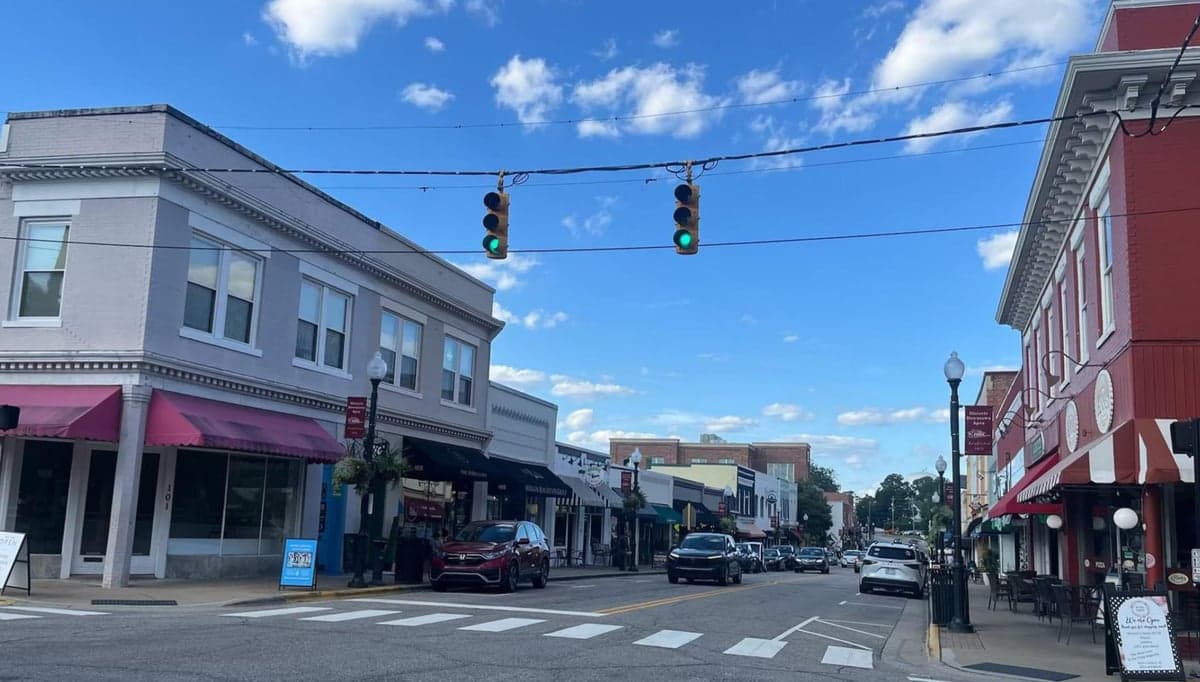
Photo: Wikipedia
Strategic Assessment of Apex, NC
Meaningful friction. Expect exposure to either population pressure, blast zones, or natural disaster risk. Consider buying a retreat property.
What does the Strategic Assessment tell us?
Our Strategic Assessment grades tactical survivability of an area. Major population centers, military targets, fallout zones, natural disasters, and border exposure all drive risk — lower exposure means a more defensible position in a crisis.
This is heavily inspired by Joel Skousen's Strategic Relocation book. Highly recommended you checkout the book ($)What does this tell us?
Our Strategic Assessment grades tactical survivability of an area. Major population centers, military targets, fallout zones, natural disasters, and border exposure all drive risk — lower exposure means a more defensible position in a crisis.
This is heavily inspired by Joel Skousen's Strategic Relocation book. Highly recommended you checkout the book ($)Strategic Pillars

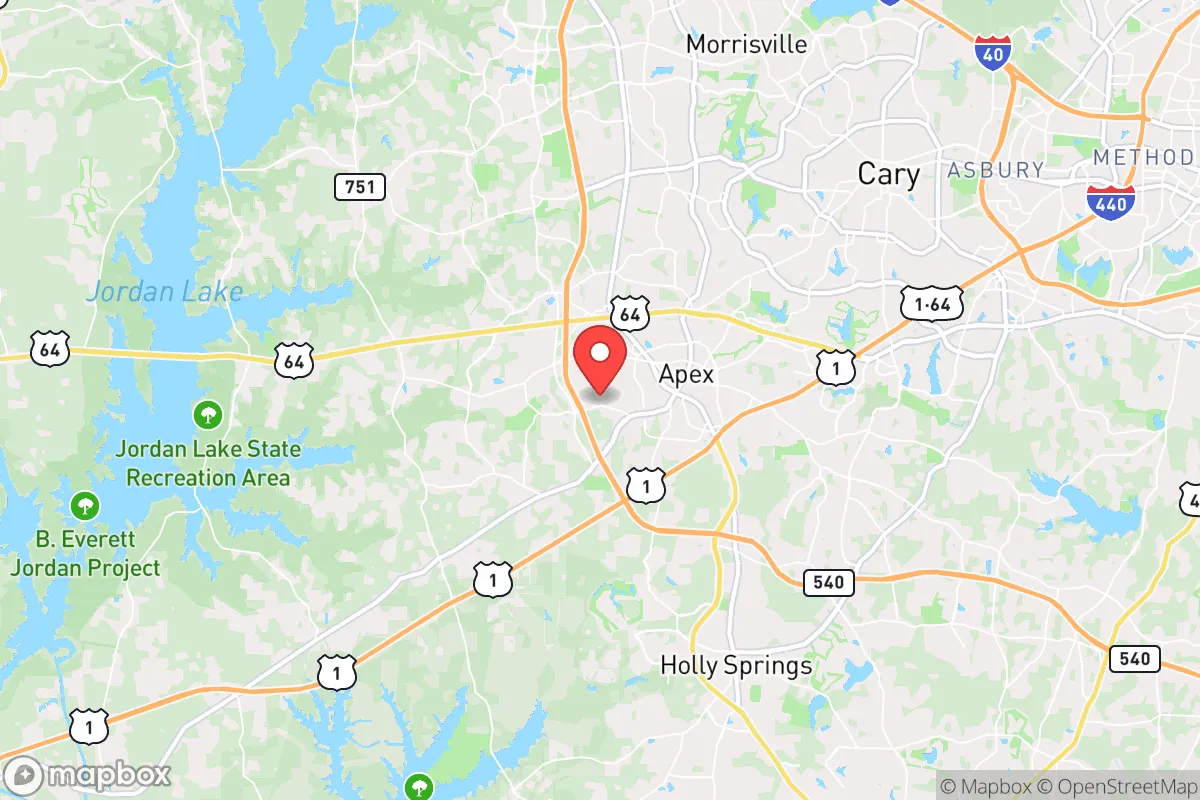
Key Distances
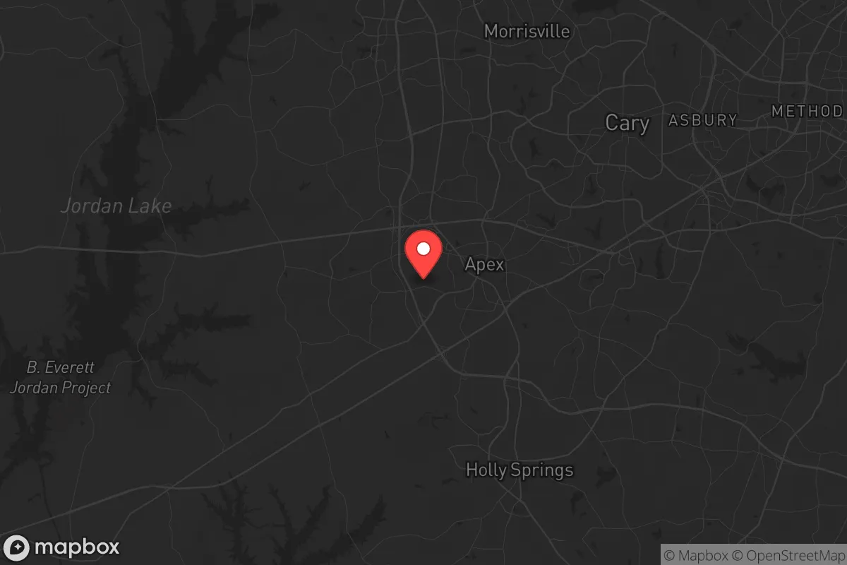
Regional Safe Places
Below is our recommended "safe zones" in North Carolina and the surrounding area based on our strategic heuristics. For most people, it's unrealistic to live in a “safe zone” full-time due to work, family or other personal reasons. They tend to be more rural. However, many of these areas are perfect for second homes and retreat properties that double as a vacation home or even a short-term rental.


Important Note: For informational purposes only. This does not mean nothing bad ever happens in the green zones. Please use common sense. This is based on public data and modeled with AI. We tried to take a conservative approach but mistakes happen. We update this regularly as new information becomes available.
Solar Generator Recommendations
Backup power matters more here than in safer locations. We've picked three solar generators across budgets and capacity tiers — start with the budget unit if you only need a few essentials, or step up if you want to run a fridge and HVAC for days at a time.

Jackery Portable Power Station Explorer 300
Budget OptionPower on the Go: Weighing only 11 lbs, it's convenient to set up and store with book-sized foldable solar panels

BLUETTI Portable Power Station AC180
Designed for both indoor and outdoor scenarios, AC180 is highly capable as it has a robost capacity and continuous output power.

EF ECOFLOW DELTA Pro Ultra Power Station
Upgraded PickEcoFlow DELTA Pro Ultra is a whole-home energy system designed to grow with your family. Integrated with the Smart Home Panel 2, it scales to meet your evolving energy needs — keeping your home powered, intelligent, and secure through every stage of life.
We earn a commission, at no additional cost to you.
Strategic Assessment Analysis
Apex, North Carolina, often tops "best places to live" lists for its family-friendly atmosphere and top-rated schools, but from a strategic relocation standpoint, its true value lies in a different set of metrics: resilience, positioning, and the ability to weather both natural and man-made disruptions. While the town itself projects a polished, suburban image, its geographic and infrastructural realities offer a more complex picture for the conservative-minded individual or family looking to secure a long-term, defensible base of operations. This analysis strips away the Chamber of Commerce veneer and examines Apex as a potential node in a post-disruption landscape, weighing its genuine advantages against its very real exposures.
Geographic positioning and natural buffer zones in the Piedmont
Apex sits in the heart of the Piedmont region, roughly 20 miles southwest of Raleigh and 15 miles west of the Research Triangle Park (RTP). This location is a double-edged sword. On the positive side, the town is not directly on the Atlantic coast, sparing it from the worst of hurricane storm surges and the logistical chaos of coastal evacuation routes. The terrain is rolling hills and mixed hardwood forest, offering natural cover, varied sightlines, and decent drainage—far superior to the flood-prone coastal plain or the exposed, flat farmland to the east. The area sits atop the Carolina Slate Belt, a geological formation that provides relatively stable ground and, critically, access to the deep, fractured bedrock aquifers that many private wells tap into. This is a genuine natural advantage: a water source that is less susceptible to surface contamination than shallow wells in sandy coastal soils. The surrounding Jordan Lake and Falls Lake reservoirs, while managed by the Army Corps of Engineers, provide a massive surface water buffer, though they are also obvious targets for contamination or control in a prolonged crisis. The town's position at the intersection of US-1, US-64, and NC-55 gives it multiple egress routes, but also makes it a natural chokepoint for traffic flowing into and out of the Triangle—a vulnerability in a mass evacuation scenario.
Risk exposure: proximity to fallout-relevant landmarks and urban decay vectors
The most significant strategic liability for Apex is its proximity to the Raleigh-Durham-Chapel Hill metropolitan area, a population center of over 2 million people. In a scenario involving civil unrest, a major terrorist event, or a cascading infrastructure failure, Apex sits directly in the path of any outward flow from the urban core. The town is less than 10 miles from the Raleigh-Durham International Airport (RDU), a high-value target for any adversary and a potential source of airspace contamination or ground-level chaos. Furthermore, the Research Triangle Park, with its concentration of biotech labs, pharmaceutical plants, and government research facilities, represents a non-trivial risk for accidental or deliberate release of hazardous materials. The presence of the Shearon Harris Nuclear Plant (about 25 miles southwest) is another factor; while the plant's safety record is solid, the 10-mile emergency planning zone (EPZ) does not include Apex, but the 50-mile ingestion pathway zone does. In a worst-case radiological event, Apex would be in the zone requiring protective action, not immediate evacuation. The town's own infrastructure—power lines, natural gas pipelines, and the regional water system—are all tied to the larger Triangle grid, meaning a disruption in Raleigh will cascade into Apex with little delay. The town's explosive growth (population nearly tripled from 2000 to 2020) has also created a dense suburban fabric with limited defensible space; the typical 0.25-acre lot offers little room for self-sufficiency or tactical retreat.
Practical resilience for a relocator: food, water, energy, and defensibility
For the individual or family serious about prepping, Apex presents a mixed bag. Water security is the strongest card: the deep bedrock aquifers mean that a properly drilled well (300-500 feet) can provide a reliable, gravity-fed water source independent of municipal systems. Many newer subdivisions, however, are on town water, which is drawn from Jordan Lake and treated at the E.M. Johnson Water Treatment Plant—a single point of failure. Anyone relocating here should prioritize a property with an existing well or the legal ability to drill one. Food security is a challenge. The town is surrounded by active farmland, particularly to the west and south, but the land is expensive and the growing season, while decent (Zone 7b), is not as forgiving as the Deep South. The local farmers' markets (Apex Farmers Market, Western Wake Farmers Market) are excellent for normal times but will be stripped bare in a crisis. Establishing a serious garden, a small orchard, and a relationship with local farmers before a disruption is essential. Energy resilience is mediocre. Duke Energy's grid is reliable in fair weather but vulnerable to ice storms, hurricanes (inland), and cyberattack. Solar is viable, with the region averaging 4.5 peak sun hours per day, but homeowner association (HOA) restrictions in many Apex neighborhoods can be a barrier. A whole-house propane generator with a buried 500-gallon tank is the most practical solution, but it requires space and upfront capital. Defensibility is the weakest link. Apex is a suburban grid of cul-de-sacs and interconnected streets. There are no natural chokepoints, no high ground of tactical significance, and the town's police force (about 80 sworn officers) would be overwhelmed in a widespread event. The best strategy is not to defend the house but to have a pre-planned retreat location—a rural property in Chatham or Lee County, 30-45 minutes west, where the population density drops and the terrain becomes more rugged.
The overall strategic picture for Apex is one of calculated trade-offs. It offers genuine advantages in water availability, moderate climate, and a stable geological foundation, all within a community that, for now, maintains a strong sense of local identity and low crime. However, these benefits are directly offset by its proximity to a major metropolitan target, its dependence on fragile regional infrastructure, and its suburban layout that offers little in the way of natural defense or self-sufficiency. For the conservative relocator who values community and schools but is unwilling to go fully off-grid, Apex can work as a forward operating base—a place to build skills, store supplies, and network with like-minded individuals, while maintaining a secondary, more defensible property farther out. It is not a survivalist's paradise, nor is it a doomed suburb. It is a middle-ground option that requires active preparation, not passive assumption. The key is to treat Apex not as a final destination, but as a platform from which to operate, with clear plans for water independence, energy backup, and a bug-out route that avoids the inevitable gridlock on US-1 and NC-55. If you can secure those three pillars, the town's schools, healthcare access, and relatively stable local governance make it a viable, if imperfect, choice for the long game.
* Values derived from national, state, county, city and local statistics and may differ in a specific area. Last updated: 2026-05-03T20:25:18.000Z
Narrative content on this page is AI-generated and may contain mistakes. Verify any details that matter before acting on them.
ReloMaps may earn a commission from affiliate links at no extra cost to you.