
Photo: Wikipedia
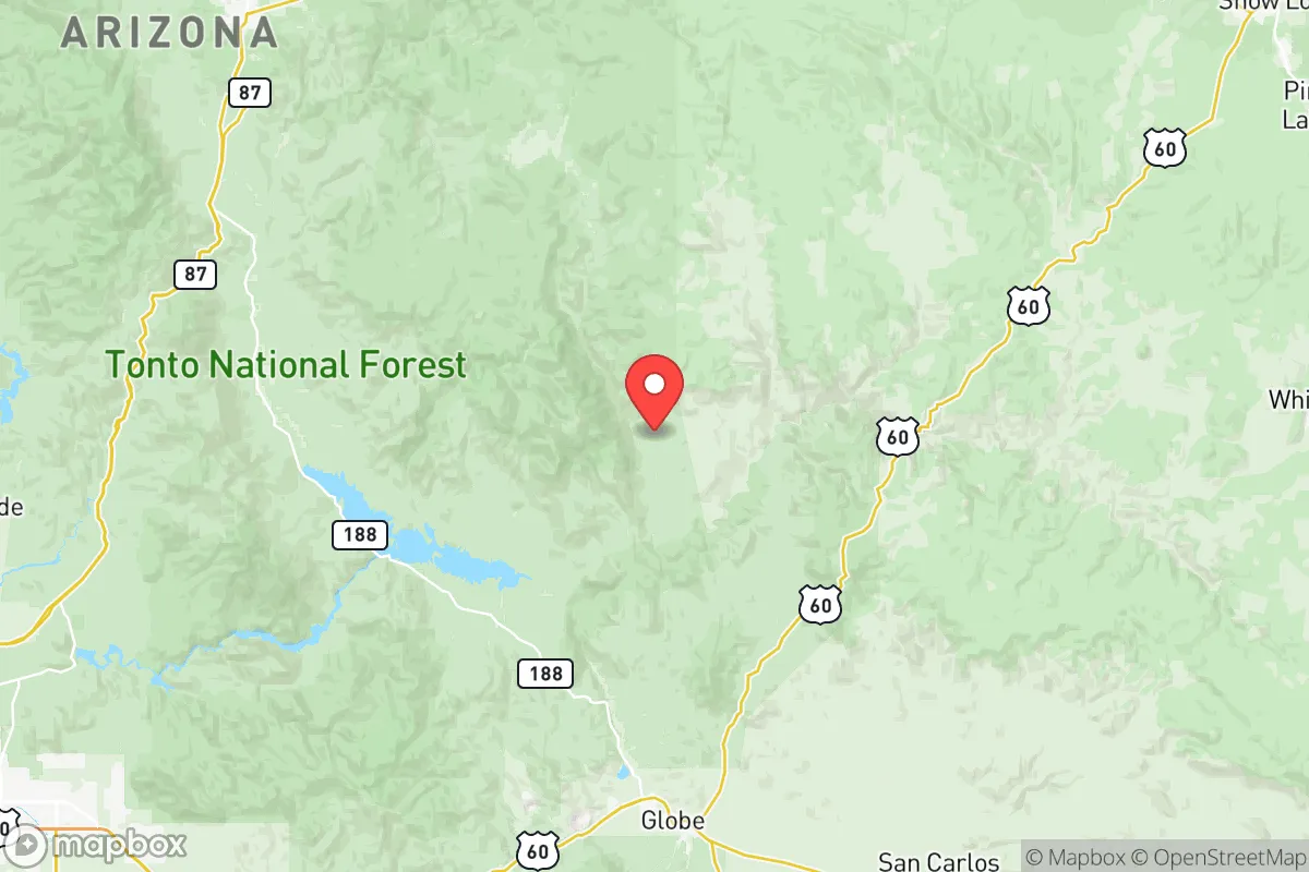
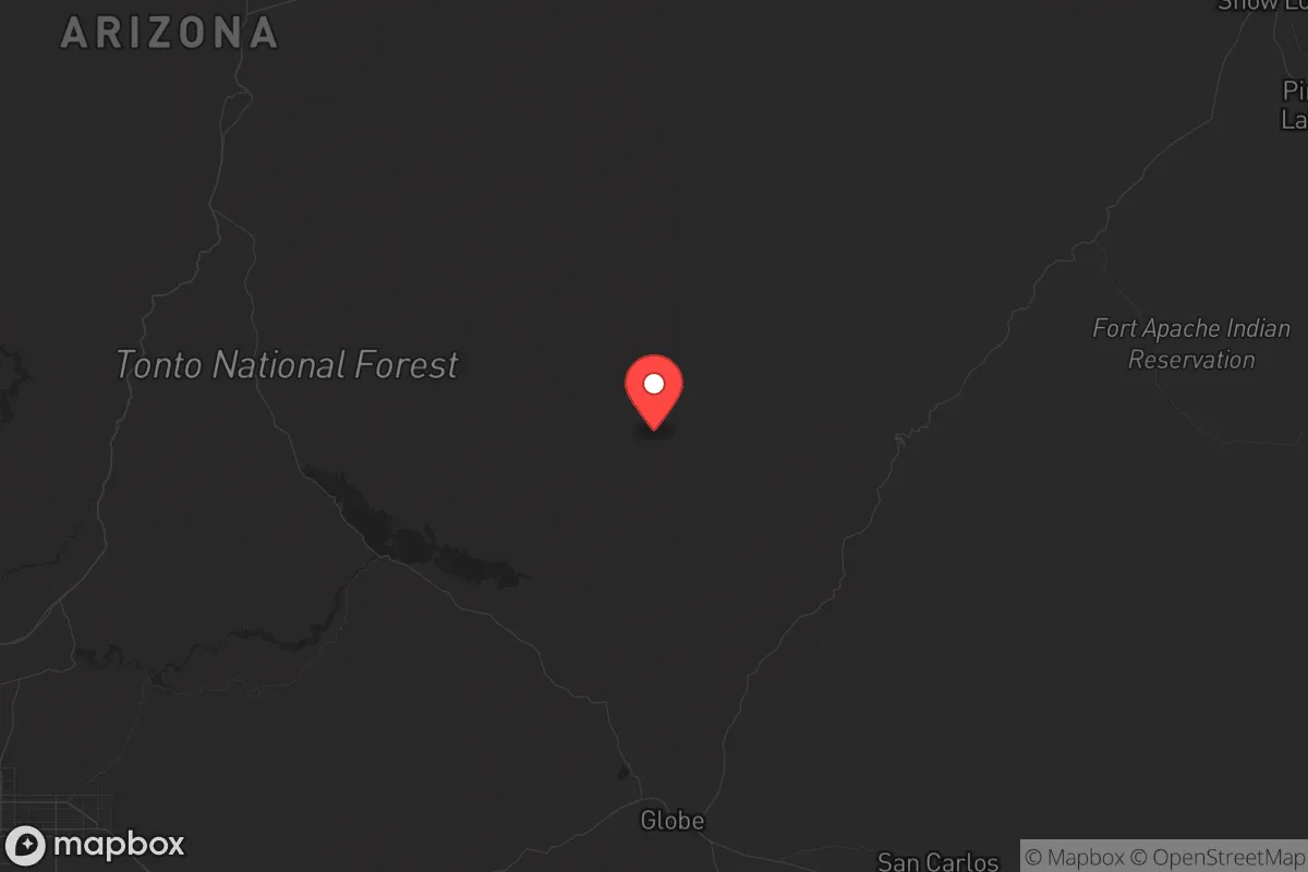
Strategic Assessment of Gila County
Workable tactical position. Some exposure to population density or targets, but generally defensible in a crisis.
What does the Strategic Assessment tell us?
Our Strategic Assessment grades tactical survivability of an area. Major population centers, military targets, fallout zones, natural disasters, and border exposure all drive risk — lower exposure means a more defensible position in a crisis.
This is heavily inspired by Joel Skousen's Strategic Relocation book. Highly recommended you checkout the book ($)What does this tell us?
Our Strategic Assessment grades tactical survivability of an area. Major population centers, military targets, fallout zones, natural disasters, and border exposure all drive risk — lower exposure means a more defensible position in a crisis.
This is heavily inspired by Joel Skousen's Strategic Relocation book. Highly recommended you checkout the book ($)Strategic Pillars

Key Distances
Strategic Assessment Analysis
Gila County, Arizona, offers a strategic relocation option for those prioritizing resilience and distance from major population centers, combining rugged geography with a sparse population of roughly 53,000. Its location—roughly 90 miles northeast of Phoenix and 130 miles southeast of Flagstaff—places it outside the immediate blast and fallout zones of major metropolitan targets while still providing access to critical supply routes. The county’s backbone is the Tonto National Forest and the Mogollon Rim, natural barriers that complicate large-scale movement and offer defensible terrain, a key consideration for those planning for civic unrest or mass casualty events.
Geographic position and natural advantages for long-term security
Gila County’s geography is its primary asset. The Mogollon Rim, a massive escarpment running east-west across the county, creates a natural choke point. Towns like Payson (pop. ~16,000) sit on the Rim’s southern edge, while Globe and Miami (combined pop. ~8,000) lie in the lower Tonto Basin. This elevation gradient—Payson at 5,000 feet, Globe at 3,500—provides varied microclimates and water catchment opportunities. The county is bisected by the Salt River and its tributaries, including Tonto Creek and Cherry Creek, which feed into Roosevelt Lake, Arizona’s largest reservoir. For a relocator, this means reliable surface water sources, a rarity in the Southwest. The surrounding national forest (over 3 million acres) offers timber for construction, game for hunting, and isolation from the Interstate 10 and 17 corridors that would likely be evacuation routes during a crisis. The nearest military installation of note is Luke Air Force Base (west of Phoenix), roughly 100 miles away—close enough to be a potential target but far enough to avoid direct fallout. The county’s lack of major industrial or refinery infrastructure reduces its attractiveness as a secondary target.
Risks, exposures, and proximity to fallout-relevant landmarks
No location is risk-free, and Gila County has specific vulnerabilities. The most significant is its proximity to the Palo Verde Nuclear Generating Station, located about 80 miles southwest near Wintersburg, Arizona. While 80 miles provides substantial fallout attenuation, a major release could still affect windborne particles depending on prevailing westerlies. The county also sits within 150 miles of Davis-Monthan Air Force Base in Tucson, a potential target for conventional or nuclear strikes. On the ground, the county’s primary economic driver is copper mining—the Resolution Copper Mine near Superior (just south of Gila County) and the Freeport-McMoRan operations in Miami and Globe. These industrial sites could become secondary targets or sources of hazardous material releases during unrest. Wildfire risk is high, particularly in the Tonto National Forest; the 2020 Bush Fire burned over 193,000 acres near the county’s southern edge. For a prepper, this means defensible space and fire-resistant construction are non-negotiable. The county’s road network is limited—US-60 and AZ-87 are the primary arteries, both two-lane for long stretches—meaning evacuation or resupply could be bottlenecked quickly. The nearest major medical trauma center is in Phoenix (Banner University Medical Center), a 90-minute drive from Payson under normal conditions.
Practical resilience for a relocator: food, water, energy, and defensibility
For a single individual or family looking to establish a self-sufficient homestead, Gila County offers a mixed but workable picture. Water is the linchpin. While the county averages only 12-20 inches of annual precipitation, the higher elevations (Payson, Young) receive more, and the Salt River watershed provides year-round flow in many canyons. Rainwater harvesting is viable, and many rural properties have existing wells—though drilling depths can exceed 500 feet in the lower basins. Roosevelt Lake and San Carlos Lake (on the county’s eastern edge) are backup sources, but both are managed by the Salt River Project and the San Carlos Apache Tribe, respectively, meaning access could be restricted during a crisis. Food production is feasible: the growing season in Payson runs about 150 days (May to October), suitable for cool-weather crops, while Globe’s lower elevation allows for longer seasons and even citrus in protected microclimates. Game is abundant—mule deer, javelina, turkey, and small game—but hunting pressure is moderate due to the county’s low population density. Energy resilience is straightforward: solar potential is excellent (over 280 sunny days per year), and off-grid systems are common. The county’s terrain—steep canyons, dense forest, and limited road access—makes it naturally defensible. A property near Young (pop. ~600) or Pleasant Valley offers the kind of isolation that discourages casual looters or organized groups. However, the same terrain complicates resupply and medical evacuation; a serious injury could be fatal without a well-stocked medical kit and evacuation plan.
The overall strategic picture for Gila County is one of trade-offs. It avoids the worst of the fallout and unrest risks that plague Phoenix, Tucson, or Flagstaff, while still being within a day’s drive of those cities for pre-crisis supply runs. Its natural water, timber, and defensible terrain are genuine assets for a long-term resilience plan. But the county is not a fortress—wildfire, limited medical access, and dependence on a few two-lane roads are real vulnerabilities. For the conservative-minded relocator who values self-reliance, community cohesion (the county leans heavily Republican, with Trump winning 72% of the vote in 2020), and a slower pace of life, Gila County is a solid choice. It’s not a bug-out location for a weekend; it’s a place to build a life that can withstand the shocks of a destabilizing world. The key is to arrive early, dig a well, and make friends with your neighbors—because when the highways clog, you’ll need them more than you’ll need the internet.
* Values derived from national, state, county, city and local statistics and may differ in a specific area. Last updated: 2026-05-27T20:49:15.000Z
Narrative content on this page is AI-generated and may contain mistakes. Verify any details that matter before acting on them.
ReloMaps may earn a commission from affiliate links at no extra cost to you.