Photo: Wikipedia
Strategic Assessment of Bellingham, WA
Meaningful friction. Expect exposure to either population pressure, blast zones, or natural disaster risk. Consider buying a retreat property.
What does the Strategic Assessment tell us?
Our Strategic Assessment grades tactical survivability of an area. Major population centers, military targets, fallout zones, natural disasters, and border exposure all drive risk — lower exposure means a more defensible position in a crisis.
This is heavily inspired by Joel Skousen's Strategic Relocation book. Highly recommended you checkout the book ($)What does this tell us?
Our Strategic Assessment grades tactical survivability of an area. Major population centers, military targets, fallout zones, natural disasters, and border exposure all drive risk — lower exposure means a more defensible position in a crisis.
This is heavily inspired by Joel Skousen's Strategic Relocation book. Highly recommended you checkout the book ($)Strategic Pillars

Key Distances
Regional Safe Places
Below is our recommended "safe zones" in Washington and the surrounding area based on our strategic heuristics. For most people, it's unrealistic to live in a “safe zone” full-time due to work, family or other personal reasons. They tend to be more rural. However, many of these areas are perfect for second homes and retreat properties that double as a vacation home or even a short-term rental.


Important Note: For informational purposes only. This does not mean nothing bad ever happens in the green zones. Please use common sense. This is based on public data and modeled with AI. We tried to take a conservative approach but mistakes happen. We update this regularly as new information becomes available.
Solar Generator Recommendations
Backup power matters more here than in safer locations. We've picked three solar generators across budgets and capacity tiers — start with the budget unit if you only need a few essentials, or step up if you want to run a fridge and HVAC for days at a time.

Jackery Portable Power Station Explorer 300
Budget OptionPower on the Go: Weighing only 11 lbs, it's convenient to set up and store with book-sized foldable solar panels

BLUETTI Portable Power Station AC180
Designed for both indoor and outdoor scenarios, AC180 is highly capable as it has a robost capacity and continuous output power.

EF ECOFLOW DELTA Pro Ultra Power Station
Upgraded PickEcoFlow DELTA Pro Ultra is a whole-home energy system designed to grow with your family. Integrated with the Smart Home Panel 2, it scales to meet your evolving energy needs — keeping your home powered, intelligent, and secure through every stage of life.
We earn a commission, at no additional cost to you.
Strategic Assessment Analysis
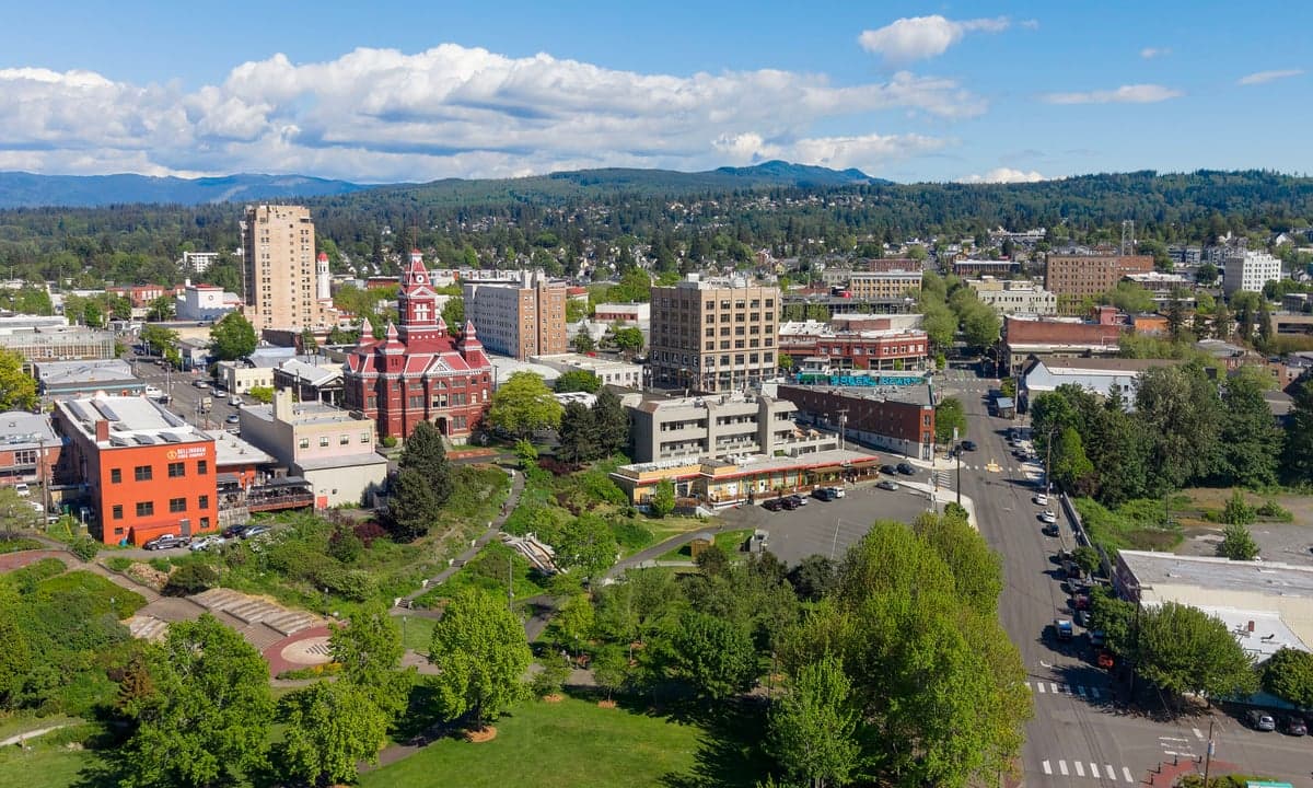
Bellingham offers a mixed strategic picture for those prioritizing resilience and self-sufficiency. Its position between the Cascade foothills and the Salish Sea provides natural buffers and resource access, but its proximity to the Seattle-Vancouver corridor and the region's seismic reality introduce significant exposure. For a relocator weighing long-term preparedness against everyday livability, Bellingham demands a clear-eyed assessment of both its defensive strengths and its vulnerability to cascading failures.
Geographic position and natural advantages for long-term security
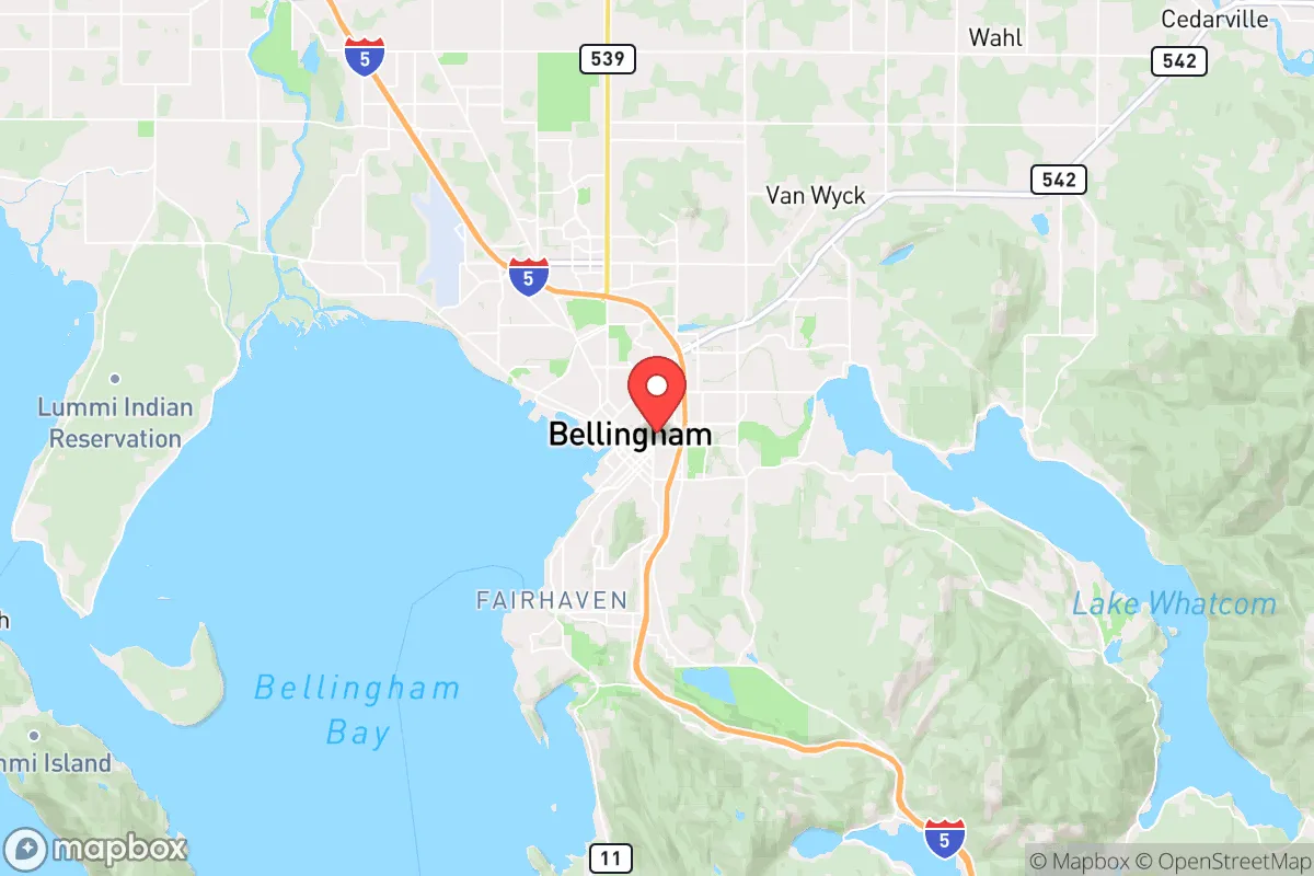
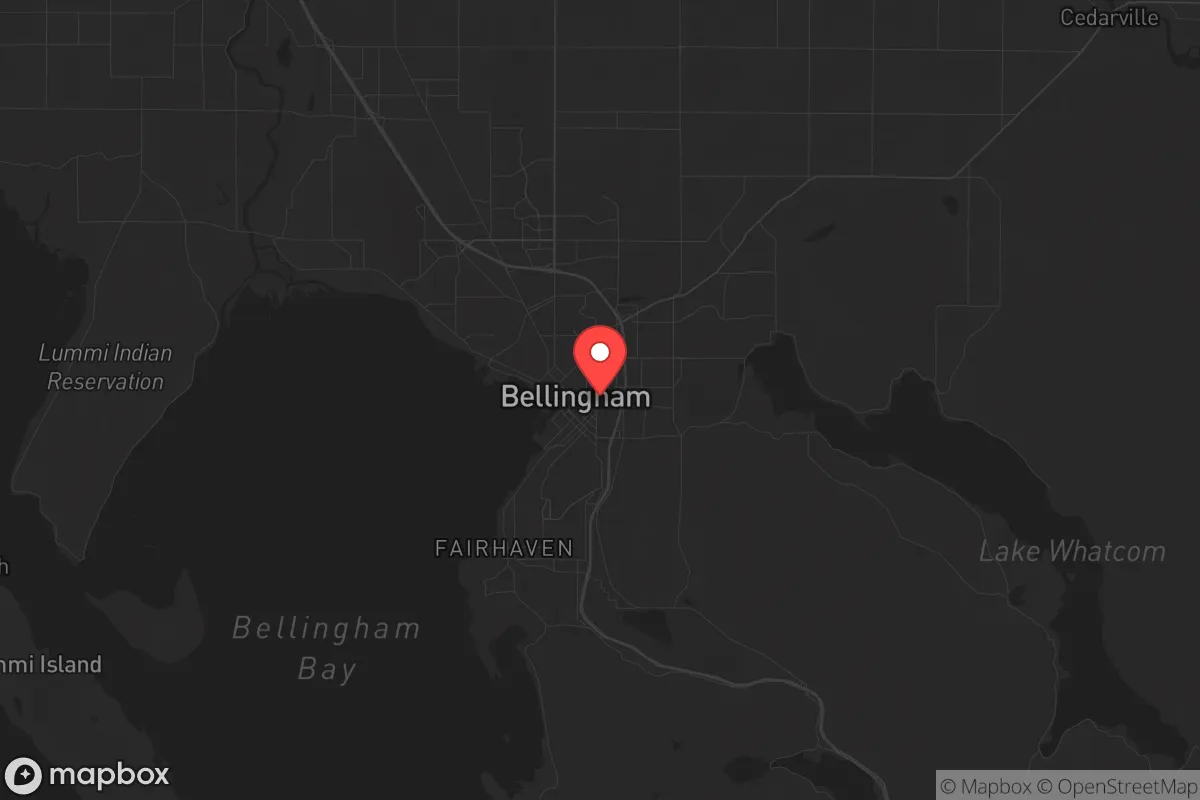
Bellingham sits roughly 20 miles south of the Canadian border and 90 miles north of Seattle, placing it at the northern edge of the I-5 megaregion. This location offers a genuine advantage: it is far enough from major urban centers to avoid the worst of a metropolitan collapse, yet close enough to access emergency supply chains and medical infrastructure in a non-crisis period. The city is flanked by Mount Baker to the east and the San Juan Islands to the west, creating a natural funnel that limits approach vectors for any large-scale movement of people or vehicles. The North Cascades National Park and the Mount Baker-Snoqualmie National Forest form a massive, sparsely populated wilderness to the east, providing both a resource cache and a potential retreat zone. The Salish Sea to the west offers a maritime escape route and access to fishing grounds, though it also opens a waterborne approach for those with nautical capability. The Nooksack River and Lake Whatcom provide freshwater sources, and the region's temperate rainforest climate ensures reliable rainfall for catchment systems. For a prepper, the ability to control access via the few mountain passes and the single interstate corridor is a tangible defensive asset.
Risks, exposures, and proximity to fallout-relevant landmarks
The most glaring vulnerability is Bellingham's position relative to the Seattle metropolitan area and the Vancouver, BC metro area, each roughly 90 minutes away. In a mass evacuation scenario triggered by a Cascadia Subduction Zone earthquake, a terrorist event, or a grid-down situation, both cities would push hundreds of thousands of people northward along I-5. Bellingham sits directly in that funnel. The city itself is built on the Lummi Peninsula and the Chuckanut Mountains, with limited egress routes—I-5 south, Highway 542 east, and Highway 539 north to the border. Any one of these routes could become impassable within hours of a major event. Additionally, the Cherry Point Refinery complex, located just west of Bellingham, is one of the largest oil refining hubs on the West Coast. A catastrophic failure there—whether from earthquake, sabotage, or accident—would release toxic clouds and ignite fires that could render large portions of Whatcom County uninhabitable for weeks. The BP Cherry Point refinery processes over 200,000 barrels of crude daily, making it a high-value target in any conflict scenario. The Peace Arch border crossing at Blaine, 20 minutes north, is a choke point that would be overwhelmed in a crisis, potentially drawing federal attention and military presence to the area. For a survivalist, these are not abstract risks; they are concrete, map-able threats that must be factored into any relocation decision.
Practical resilience for a relocator: food, water, energy, and defensibility
Bellingham's practical resilience is a study in contrasts. On the positive side, the region has abundant freshwater from Lake Whatcom, Lake Samish, and the Nooksack River, all of which are fed by glacial melt and consistent rainfall. Average annual precipitation is about 35 inches, making rainwater collection a viable primary water strategy. The growing season is short but productive—cool-season crops like kale, potatoes, and root vegetables thrive in the maritime climate. The Whatcom County Farmers Cooperative and local CSAs provide a network for those who want to build food security without full self-sufficiency. The Puget Sound Energy grid is relatively modern, but the region is prone to winter storms that knock out power for days at a time, so a backup generator or solar array with battery storage is essential. Wood heating is common, with ample firewood available from the surrounding forests, but air quality can become a concern during inversions. Defensibility is moderate: the city's layout is spread across hills and valleys, with many neighborhoods tucked into forested areas that offer natural concealment. However, the downtown core and the waterfront are exposed and would be difficult to hold against a determined group. The Bellingham International Airport and the Port of Bellingham are potential points of entry for both aid and threat. For a relocator, the key is to choose a property with good sight lines, multiple exit routes, and access to a well or spring. The Lake Whatcom watershed is a particularly attractive zone for those who can afford the premium, as it offers water security and relative isolation.
Overall strategic picture: a buffer zone with hard trade-offs
Bellingham occupies a strategic niche that is neither fully safe nor fully compromised. Its greatest strength is its position as a buffer between two major metropolitan areas, offering access to resources and infrastructure without being consumed by urban chaos. Its greatest weakness is the same proximity: in a regional collapse, it would become a pressure point for evacuees, refugees, and potentially military assets. The seismic risk of the Cascadia Subduction Zone is a long-term existential threat that cannot be mitigated by location alone—anywhere west of the Cascades faces the same 9.0+ earthquake and tsunami risk. For a conservative-leaning relocator who values community cohesion, local governance, and self-reliance, Bellingham's Whatcom County politics are a mixed bag: the city itself leans progressive, but the outlying areas—especially east toward Glacier and south toward Sedro-Woolley—are more libertarian and rural. The cost of living is high relative to inland Washington, with median home prices above $600,000, but the trade-off is a climate that supports year-round food production and a landscape that offers genuine escape routes. If you are looking for a place to ride out the next decade with a solid plan, Bellingham is worth a hard look—but only if you are willing to invest in the infrastructure and community ties that make resilience real. It is not a bug-out location; it is a base of operations that requires constant attention to the threats on its doorstep.
* Values derived from national, state, county, city and local statistics and may differ in a specific area. Last updated: 2026-04-21T11:02:35.000Z
Narrative content on this page is AI-generated and may contain mistakes. Verify any details that matter before acting on them.
ReloMaps may earn a commission from affiliate links at no extra cost to you.