
Photo: Wikipedia
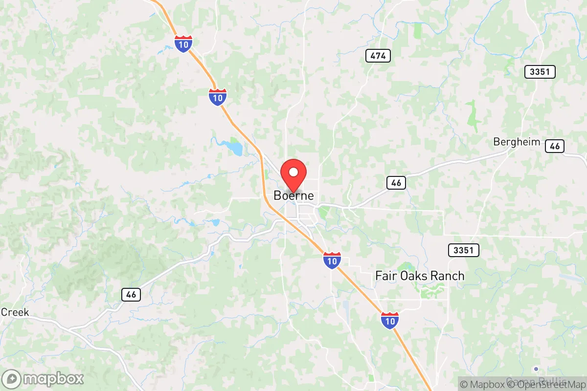
Strategic Assessment of Boerne, TX
Meaningful friction. Expect exposure to either population pressure, blast zones, or natural disaster risk. Consider buying a retreat property.
What does the Strategic Assessment tell us?
Our Strategic Assessment grades tactical survivability of an area. Major population centers, military targets, fallout zones, natural disasters, and border exposure all drive risk — lower exposure means a more defensible position in a crisis.
This is heavily inspired by Joel Skousen's Strategic Relocation book. Highly recommended you checkout the book ($)What does this tell us?
Our Strategic Assessment grades tactical survivability of an area. Major population centers, military targets, fallout zones, natural disasters, and border exposure all drive risk — lower exposure means a more defensible position in a crisis.
This is heavily inspired by Joel Skousen's Strategic Relocation book. Highly recommended you checkout the book ($)Strategic Pillars

Key Distances
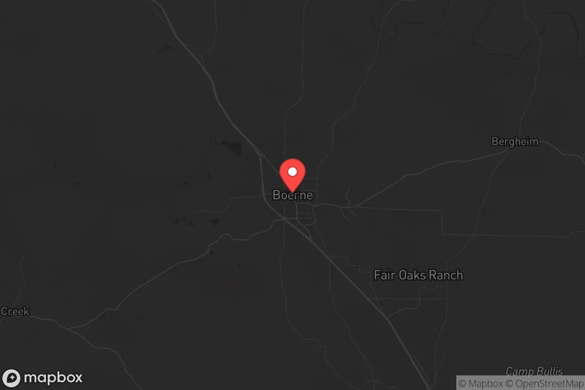
Regional Safe Places
Below is our recommended "safe zones" in Texas and the surrounding area based on our strategic heuristics. For most people, it's unrealistic to live in a “safe zone” full-time due to work, family or other personal reasons. They tend to be more rural. However, many of these areas are perfect for second homes and retreat properties that double as a vacation home or even a short-term rental.


Important Note: For informational purposes only. This does not mean nothing bad ever happens in the green zones. Please use common sense. This is based on public data and modeled with AI. We tried to take a conservative approach but mistakes happen. We update this regularly as new information becomes available.
Solar Generator Recommendations
Backup power matters more here than in safer locations. We've picked three solar generators across budgets and capacity tiers — start with the budget unit if you only need a few essentials, or step up if you want to run a fridge and HVAC for days at a time.

Jackery Portable Power Station Explorer 300
Budget OptionPower on the Go: Weighing only 11 lbs, it's convenient to set up and store with book-sized foldable solar panels

BLUETTI Portable Power Station AC180
Designed for both indoor and outdoor scenarios, AC180 is highly capable as it has a robost capacity and continuous output power.

EF ECOFLOW DELTA Pro Ultra Power Station
Upgraded PickEcoFlow DELTA Pro Ultra is a whole-home energy system designed to grow with your family. Integrated with the Smart Home Panel 2, it scales to meet your evolving energy needs — keeping your home powered, intelligent, and secure through every stage of life.
We earn a commission, at no additional cost to you.
Strategic Assessment Analysis
Boerne, Texas, sits in a strategic sweet spot that few relocators fully appreciate until they walk the ground. Roughly 30 miles northwest of San Antonio and 50 miles west of Austin, it offers genuine separation from the two major metroplexes while remaining close enough to access their medical, supply, and logistical networks when things are stable. The city itself has grown from a sleepy Hill Country town of about 10,000 in 2000 to over 20,000 today, but the surrounding Kendall County still holds a population density under 100 people per square mile. That combination — proximity to resources without being swallowed by urban sprawl — is the core of Boerne’s resilience case. The terrain, the water, and the local political culture all tilt in favor of someone thinking seriously about long-term preparedness.
Geographic position and natural advantages for long-term security
Boerne sits on the edge of the Edwards Plateau, where the flat coastal plains give way to the rolling, rocky hills of the Texas Hill Country. That transition matters for defense and water. The elevation runs around 1,400 feet, which puts it above the flood-prone zones of the Guadalupe River basin while still having reliable groundwater access through the Trinity and Edwards aquifers. The Cibolo Creek runs through town, and several spring-fed tributaries provide surface water that doesn't dry up in moderate drought years. The limestone bedrock means well water is generally good quality, and many rural properties outside city limits already have private wells. The terrain itself is a natural barrier: the hills, limestone bluffs, and winding ranch roads make large-scale movement slow and chokepoints easy to control. From a tactical standpoint, the area offers multiple egress routes — I-10 runs east-west, TX-46 connects to the north, and US-281 gives a straight shot south to San Antonio or north toward the Highland Lakes. If you need to move people or supplies without using major highways, the network of FM roads and county roads through the hills gives you options that don't exist on the flatlands.
Risks, exposures, and proximity to fallout-relevant landmarks
No location is perfect, and Boerne has real vulnerabilities that a serious relocator needs to weigh. The most obvious is proximity to San Antonio, which houses Joint Base San Antonio — Lackland, Randolph, and Fort Sam Houston — plus Camp Bullis, a major Army training area. In a major conflict or domestic disruption, those installations become primary targets. The prevailing wind pattern in south-central Texas runs from the south and southeast, meaning fallout from a strike on San Antonio would push north and northwest, directly toward Boerne. The same logic applies to Austin, which sits upwind in most weather patterns but is close enough that a ground burst could still affect the area depending on yield and wind shear. The city also sits within 20 miles of the Kerrville nuclear power plant's emergency planning zone — not a reactor, but the decommissioned Pantex-related facilities in the region still hold material. On the natural disaster side, the Hill Country gets flash flooding, and Cibolo Creek has overtopped its banks multiple times in the last decade. Wildfire risk is moderate but real, especially in the juniper-heavy ranchlands west of town. The 2011 Bastrop fire complex showed how fast the Hill Country can burn when conditions align. Earthquake risk is negligible, but tornadoes do touch down in Kendall County — typically EF0 to EF1, but the 1997 Jarrell tornado (F5) was only 80 miles north, so the threat exists.
Practical resilience for a relocator: food, water, energy, and defensibility
For someone serious about self-sufficiency, Boerne offers a workable baseline. Water is the first concern, and the area scores well. The Edwards Aquifer Authority regulates groundwater in the region, but private wells on properties outside the city's extraterritorial jurisdiction are generally permitted without major hassle. Rainwater catchment is legal and common, and the average annual rainfall of about 34 inches is enough to support cistern systems for non-potable use. The Guadalupe River and Medina River are both within a 20-minute drive, providing secondary water sources if you have filtration capability. Food production is viable: the growing season runs 250+ days, and the limestone soil, while thin, supports fruit trees (peach, pear, persimmon), blackberries, and native pecans. Deer are abundant — Kendall County consistently ranks in the top 10 Texas counties for white-tailed deer harvest — and feral hogs are a year-round nuisance that doubles as a protein source. Local agriculture is dominated by cattle and hay, but small-scale vegetable farming is practiced on the alluvial soils along the creeks. Energy resilience is mixed. The city runs on the CPS Energy grid (San Antonio), which has a decent reliability record but has experienced rolling blackouts during winter storms, most notably the 2021 Uri event. Natural gas is available in town, but rural properties rely on propane or electric. Solar potential is good — the area averages over 220 sunny days per year — and net metering is available through the local co-op. Defensibility is where Boerne shines. The terrain creates natural chokepoints: the main roads funnel through creek crossings and hill passes, and the surrounding ranches are large enough (50-500+ acres) that neighbors are spaced out. The local sheriff's office is well-funded relative to population, and Kendall County has a strong culture of private firearm ownership and neighborhood watch. The city itself is not gated, but the rural subdivisions and ranch properties offer standoff distance that suburban developments lack.
The overall strategic picture for Boerne is one of calculated trade-offs. It is not a remote survival bunker — it is a working Hill Country town with a hospital, a grocery store, and a Starbucks. That same infrastructure makes it a target for urban refugees in a collapse scenario, and the I-10 corridor will become a funnel if San Antonio or Austin empties. But for someone who wants to be within striking distance of civilization while maintaining a genuine ability to produce their own water, grow their own food, and defend their perimeter, Boerne checks more boxes than most Texas towns its size. The political culture is overwhelmingly conservative, the county government is small and responsive, and the local economy is diversified enough (tourism, healthcare, light manufacturing, ranching) that a single shock won't wipe it out. If you are looking for a place to ride out the next decade with your family, and you have the resources to secure a property with a well and some acreage, Boerne deserves a hard look. Just understand what you are buying into: a buffer zone, not a fortress. That is both its strength and its limitation.
* Values derived from national, state, county, city and local statistics and may differ in a specific area. Last updated: 2026-04-19T07:20:34.000Z
Narrative content on this page is AI-generated and may contain mistakes. Verify any details that matter before acting on them.
ReloMaps may earn a commission from affiliate links at no extra cost to you.