 Popular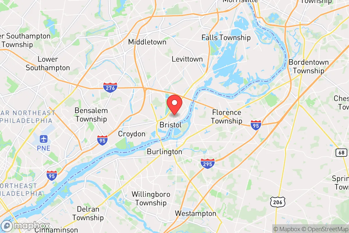
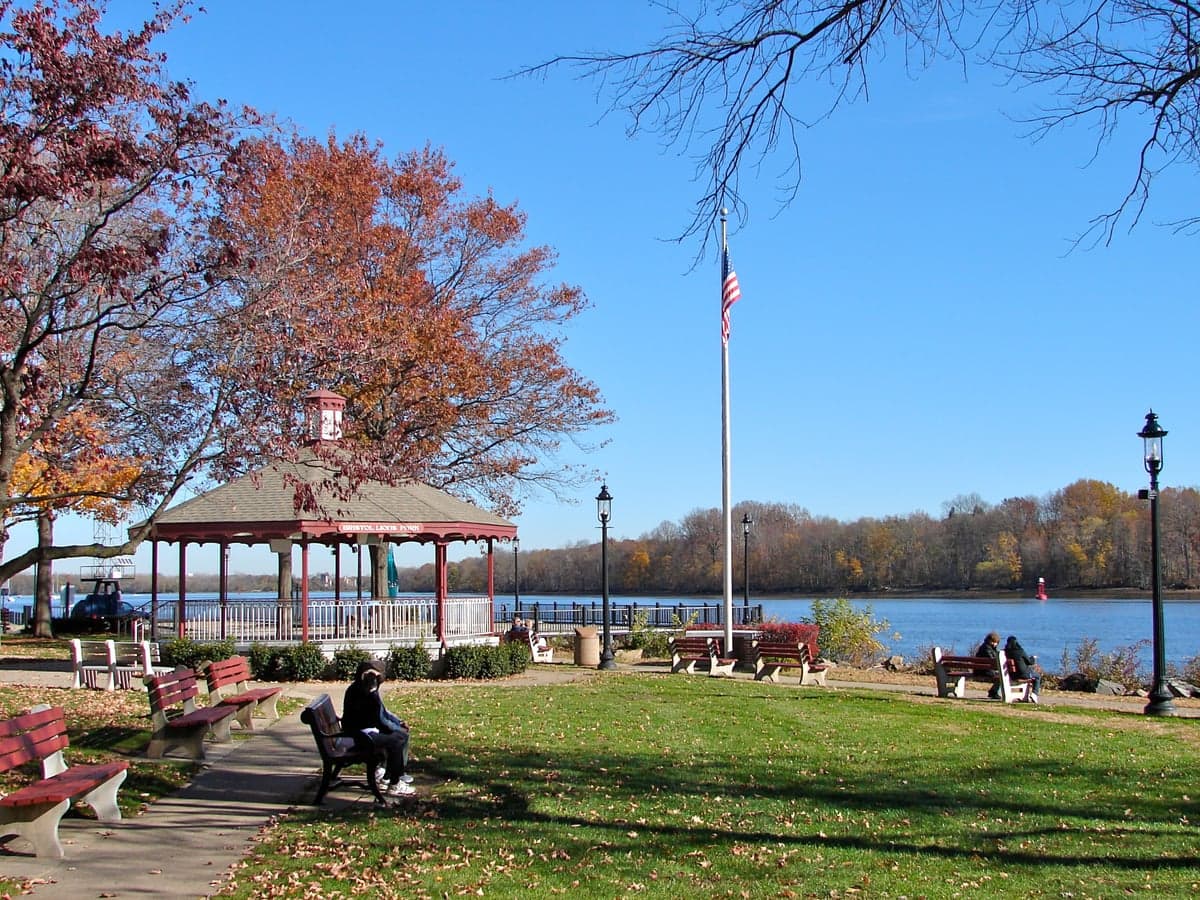
Photo: Wikipedia
Strategic Assessment of Bristol, PA
Multiple tactical vulnerabilities. Population density, target proximity, or disaster risk are likely compounding. A retreat property and exit planning is required.
What does the Strategic Assessment tell us?
Our Strategic Assessment grades tactical survivability of an area. Major population centers, military targets, fallout zones, natural disasters, and border exposure all drive risk — lower exposure means a more defensible position in a crisis.
This is heavily inspired by Joel Skousen's Strategic Relocation book. Highly recommended you checkout the book ($)What does this tell us?
Our Strategic Assessment grades tactical survivability of an area. Major population centers, military targets, fallout zones, natural disasters, and border exposure all drive risk — lower exposure means a more defensible position in a crisis.
This is heavily inspired by Joel Skousen's Strategic Relocation book. Highly recommended you checkout the book ($)Strategic Pillars

Key Distances
Regional Safe Places
Below is our recommended "safe zones" in Pennsylvania and the surrounding area based on our strategic heuristics. For most people, it's unrealistic to live in a “safe zone” full-time due to work, family or other personal reasons. They tend to be more rural. However, many of these areas are perfect for second homes and retreat properties that double as a vacation home or even a short-term rental.




Important Note: For informational purposes only. This does not mean nothing bad ever happens in the green zones. Please use common sense. This is based on public data and modeled with AI. We tried to take a conservative approach but mistakes happen. We update this regularly as new information becomes available.
Solar Generator Recommendations
Backup power matters more here than in safer locations. We've picked three solar generators across budgets and capacity tiers — start with the budget unit if you only need a few essentials, or step up if you want to run a fridge and HVAC for days at a time.

Jackery Portable Power Station Explorer 300
Budget OptionPower on the Go: Weighing only 11 lbs, it's convenient to set up and store with book-sized foldable solar panels

BLUETTI Portable Power Station AC180
Designed for both indoor and outdoor scenarios, AC180 is highly capable as it has a robost capacity and continuous output power.

EF ECOFLOW DELTA Pro Ultra Power Station
Upgraded PickEcoFlow DELTA Pro Ultra is a whole-home energy system designed to grow with your family. Integrated with the Smart Home Panel 2, it scales to meet your evolving energy needs — keeping your home powered, intelligent, and secure through every stage of life.
We earn a commission, at no additional cost to you.
Strategic Assessment Analysis
Bristol, Pennsylvania, sits in a challenging position for anyone prioritizing disaster readiness and long-term self-sufficiency. Its location along the Delaware River, roughly 20 miles northeast of Philadelphia and 70 miles southwest of New York City, places it within the shadow of two major metropolitan areas—a significant liability in any strategic resilience assessment. While the town itself offers some practical advantages like access to water and established infrastructure, the proximity to high-value targets, dense populations, and potential fallout zones makes it a location that demands serious, sober consideration rather than casual optimism.
Geographic position and natural advantages for resilience
Bristol’s geography is a mixed bag for preparedness. On the positive side, the town sits on the Delaware River, providing a substantial and reliable freshwater source—critical for any extended disruption of municipal supplies. The surrounding terrain is relatively flat, part of the Atlantic Coastal Plain, which means fewer risks from landslides or seismic activity common in other regions. The climate is temperate, with four distinct seasons, allowing for varied food production and less extreme temperature swings than areas further north or south. The area also has a fair amount of agricultural land within a 30-minute drive, particularly in Bucks County, which could support local food networks in a crisis. However, the region is not immune to natural hazards. The Delaware River has a history of flooding, with major events in 2011 (Hurricane Irene) and 2021 (remnants of Hurricane Ida) causing significant damage in low-lying parts of Bristol Borough. The area also lies within the Northeast’s nor’easter belt, bringing heavy snow, ice, and power outages that can last days. For a relocator, the river access is a genuine asset, but the floodplain exposure means any property must be carefully evaluated—ideally on higher ground away from the immediate waterfront.
Risks, exposures, and proximity to fallout-relevant landmarks
The most glaring vulnerability for Bristol is its proximity to what strategic planners call "high-consequence targets." Philadelphia, with its major ports, refineries (including the Philadelphia Energy Solutions refinery complex, though partially closed), and dense urban population, is a primary risk vector. New York City and the New Jersey industrial corridor are similarly close. In a major conflict or terrorist scenario involving nuclear or radiological devices, Bristol lies within the likely fallout plume zones from strikes on either city, depending on wind patterns. The town is also near the Delaware River’s industrial corridor, which includes chemical plants, oil storage facilities, and the Marcus Hook Industrial Complex (a major natural gas liquids hub). A conventional attack, accident, or sabotage at these sites could release toxic clouds or cause fires that threaten the area. Additionally, Bristol is bisected by Interstate 95 and the Northeast Corridor rail line—critical transportation arteries that would become choke points or targets themselves. For a reader focused on fallout and man-made risks, this is not a location that offers strategic depth. The population density of the surrounding region (over 6 million in the Philadelphia metro) means that any large-scale evacuation would be chaotic, and the town itself could be overwhelmed by refugees from the cities. The presence of the nearby Trenton-Mercer Airport and Joint Base McGuire-Dix-Lakehurst (about 30 miles north) adds another layer of military-related risk.
Practical resilience for a relocator: food, water, energy, and defensibility
For someone actually moving to Bristol with resilience in mind, the practical picture is nuanced. Water access is a clear strength—the Delaware River is a massive, year-round source, though it requires treatment (filtration, boiling, or chemical purification) due to industrial and agricultural runoff. The local water table is high, meaning shallow wells are feasible in some areas, but municipal water is the norm in the borough itself. Food production potential is moderate. Bucks County has fertile soil and a strong farming community, with farmers' markets and CSAs available. A relocator with land could grow vegetables and raise small livestock, but the suburban and exurban character of the area means most properties are on quarter-acre to half-acre lots—enough for a substantial garden but not for full self-sufficiency. Energy reliability is a concern. The grid is old and prone to outages during storms, and the region’s reliance on natural gas for heating (common in Pennsylvania) creates a vulnerability if pipelines are disrupted. Solar panels with battery storage are a viable investment here, as the area gets about 200 sunny days per year—not ideal but workable. Defensibility is the weakest link. Bristol is a flat, open town with multiple road access points (I-95, PA-413, PA-13) and a dense layout in the historic borough. There are no natural chokepoints or high ground to control approaches. In a prolonged breakdown, the town would be difficult to secure against outsiders, especially given its proximity to the urban corridor. The local police force is small (about 30 officers), and while Bucks County has a well-regarded emergency management system, it would be overwhelmed in a regional crisis. For a relocator, the best strategy would be to choose a property on the outskirts—perhaps in the more rural parts of Bristol Township or neighboring areas like Tullytown or Levittown—with good sightlines and limited road access.
The overall strategic picture for Bristol is one of calculated trade-offs. It offers genuine assets—river water, nearby farmland, a temperate climate, and established infrastructure—that could support a resilient lifestyle if properly leveraged. But these are heavily offset by the risks of its location: proximity to major cities, industrial targets, and transportation corridors that make it a likely secondary impact zone in any large-scale event. For a single individual or family willing to invest in robust preparations—off-grid water treatment, solar power, food storage, and a well-rehearsed evacuation plan—Bristol could work as a base, particularly if you choose higher ground away from the river and the I-95 corridor. However, for anyone seeking true strategic depth and isolation from man-made risks, this area falls short. It is not a retreat; it is a forward operating base with good logistics but poor defensive positioning. The decision to relocate here should be made with eyes wide open to the reality that you are living in the shadow of two of America’s most critical targets, and that resilience here means being prepared to either hunker down through a crisis or get out fast—neither of which is easy in this densely populated corner of the Northeast.

* Values derived from national, state, county, city and local statistics and may differ in a specific area. Last updated: 2026-08-25T10:51:30.000Z
Narrative content on this page is AI-generated and may contain mistakes. Verify any details that matter before acting on them.
ReloMaps may earn a commission from affiliate links at no extra cost to you.

