Photo: Wikipedia
Strategic Assessment of Brockton, MA
Multiple tactical vulnerabilities. Population density, target proximity, or disaster risk are likely compounding. A retreat property and exit planning is required.
What does the Strategic Assessment tell us?
Our Strategic Assessment grades tactical survivability of an area. Major population centers, military targets, fallout zones, natural disasters, and border exposure all drive risk — lower exposure means a more defensible position in a crisis.
This is heavily inspired by Joel Skousen's Strategic Relocation book. Highly recommended you checkout the book ($)What does this tell us?
Our Strategic Assessment grades tactical survivability of an area. Major population centers, military targets, fallout zones, natural disasters, and border exposure all drive risk — lower exposure means a more defensible position in a crisis.
This is heavily inspired by Joel Skousen's Strategic Relocation book. Highly recommended you checkout the book ($)Strategic Pillars

Key Distances
Regional Safe Places
Below is our recommended "safe zones" in Massachusetts and the surrounding area based on our strategic heuristics. For most people, it's unrealistic to live in a “safe zone” full-time due to work, family or other personal reasons. They tend to be more rural. However, many of these areas are perfect for second homes and retreat properties that double as a vacation home or even a short-term rental.


Important Note: For informational purposes only. This does not mean nothing bad ever happens in the green zones. Please use common sense. This is based on public data and modeled with AI. We tried to take a conservative approach but mistakes happen. We update this regularly as new information becomes available.
Solar Generator Recommendations
Backup power matters more here than in safer locations. We've picked three solar generators across budgets and capacity tiers — start with the budget unit if you only need a few essentials, or step up if you want to run a fridge and HVAC for days at a time.

Jackery Portable Power Station Explorer 300
Budget OptionPower on the Go: Weighing only 11 lbs, it's convenient to set up and store with book-sized foldable solar panels

BLUETTI Portable Power Station AC180
Designed for both indoor and outdoor scenarios, AC180 is highly capable as it has a robost capacity and continuous output power.

EF ECOFLOW DELTA Pro Ultra Power Station
Upgraded PickEcoFlow DELTA Pro Ultra is a whole-home energy system designed to grow with your family. Integrated with the Smart Home Panel 2, it scales to meet your evolving energy needs — keeping your home powered, intelligent, and secure through every stage of life.
We earn a commission, at no additional cost to you.
Strategic Assessment Analysis
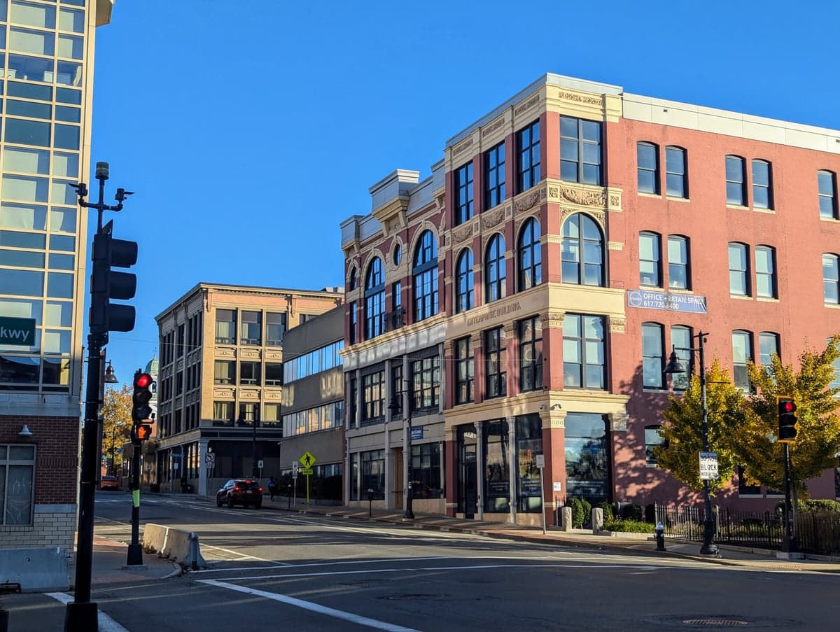
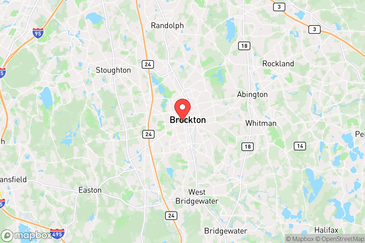
Brockton, Massachusetts, often called the "City of Champions," sits in a precarious position for anyone thinking long-term about resilience and self-reliance. Its location—roughly 20 miles south of Boston and 25 miles west of Plymouth—places it squarely in the suburban sprawl of Eastern Massachusetts, which is both a curse and a limited blessing. For a relocator with a prepper mindset, the area offers some natural advantages in terms of water access and regional food production, but the proximity to dense population centers, critical infrastructure, and potential fallout targets makes it a high-risk zone that demands serious contingency planning.
Geographic position and natural advantages for self-reliance
Brockton sits on the eastern edge of the state's inland plateau, with the Taunton River watershed running just to the west and the Atlantic coastline about 15 miles east. The area's primary natural advantage is water: the city itself is crisscrossed by the Salisbury Plain River and several smaller streams, and the nearby Hockomock Swamp—a massive 16,000-acre wetland—acts as a natural buffer and water filtration system. For a relocator, this means surface water is abundant, though it requires heavy treatment before use. The soil in the region is a mix of sandy loam and glacial till, which drains well but is not particularly fertile without amendment. The growing season runs roughly from mid-May to early October, which is short but workable for cold-hardy crops like potatoes, kale, and root vegetables. The area's elevation is low—around 100 feet above sea level—so flooding from heavy rain or storm surge is a real concern, especially in the southern parts of the city near the river. The natural defenses here are minimal: no significant hills, no dense forests, and a heavily fragmented landscape of suburban development, strip malls, and industrial parks. For a prepper, this means you're relying on man-made structures and community networks rather than terrain for security.
Risks, exposures, and proximity to fallout-relevant landmarks
This is where Brockton becomes a hard sell for anyone serious about strategic relocation. The city is within a 30-mile radius of multiple high-value targets that would be catastrophic in a major conflict or collapse scenario. Boston itself is a primary target for any nuclear or EMP attack, and Brockton sits directly downwind of the prevailing westerly winds from the city. The Massachusetts Military Reservation on Cape Cod, about 40 miles southeast, is a known military installation. The Pilgrim Nuclear Power Station in Plymouth, just 20 miles east, was decommissioned in 2019 but still contains spent fuel on site—a potential radiological hazard if the facility is compromised. Additionally, the Port of Boston and Logan International Airport are major logistical hubs that would be choke points in any crisis. For a relocator, the risk of fallout, civil unrest, or mass evacuation from these areas is high. The city's own population of roughly 105,000, combined with the surrounding metro area of over 4.5 million, means that in any disaster scenario, Brockton would be a funnel for refugees fleeing Boston. The road network—primarily Route 24, Route 27, and Interstate 93—is already congested in normal times and would gridlock instantly. The city's crime rate is also a concern for day-to-day security: Brockton has consistently ranked among the higher-crime cities in Massachusetts, with property crime rates roughly double the national average and violent crime rates about 50% higher. For a prepper, this means you're not just planning for external threats but also for internal instability.
Practical resilience for a relocator: food, water, energy, and defensibility
If you're determined to make Brockton work, you need to focus on hard infrastructure and community building. The city's water supply comes from the Brockton Water Treatment Plant, which draws from Silver Lake and the Taunton River. In a grid-down scenario, this system would fail quickly, so a private well is a must—but many properties in the city are on municipal water, and drilling a new well in a suburban lot is expensive and often restricted. Rainwater collection is legal in Massachusetts but limited to 250 gallons per property without a permit, so you'll need to work within those constraints. For food, the region has some agricultural potential: the nearby towns of Bridgewater, Raynham, and Easton have working farms, and the Brockton Farmers Market operates seasonally. But the soil is acidic and requires heavy amendment, and the short growing season limits year-round production. For energy, solar is viable—Massachusetts gets about 200 sunny days per year—but net metering policies are favorable only if the grid is up. A backup generator with a 500-gallon propane tank is a more reliable bet, but propane delivery can be disrupted in a crisis. Defensibility is the biggest weakness. Brockton is a dense, flat, urban environment with few natural chokepoints. The housing stock is mostly older single-family homes and multi-family units, many with close neighbors and limited setback. A property on the outskirts—say, near the Avon or Holbrook line—would offer slightly more buffer, but you're still within walking distance of thousands of people. For a relocator, the best strategy is to treat Brockton as a temporary base or a resupply point, not a long-term retreat. Stockpile supplies, build a network of like-minded locals, and have a bug-out plan for a rural property in central or western Massachusetts, where the population density drops and the terrain offers more cover.
The overall strategic picture for Brockton is one of calculated risk with a low ceiling for true self-reliance. The city's location offers access to coastal resources and regional infrastructure, but those same features make it a magnet for chaos in any widespread crisis. For a conservative-leaning relocator who values community and preparedness, Brockton might work as a staging area if you're willing to invest heavily in hardening your property and building a trusted local network. But for anyone looking for a true retreat—a place where you can ride out a collapse with minimal outside interference—the risks of being so close to Boston, military installations, and nuclear storage sites likely outweigh the benefits. The smart move is to look further west, toward the Berkshires or the New Hampshire border, where the population thins out and the land offers real defensibility. Brockton is a city of champions in name only; for a prepper, it's a place to pass through, not to plant roots.
* Values derived from national, state, county, city and local statistics and may differ in a specific area. Last updated: 2026-05-01T19:04:48.000Z
Narrative content on this page is AI-generated and may contain mistakes. Verify any details that matter before acting on them.
ReloMaps may earn a commission from affiliate links at no extra cost to you.