Photo: Wikipedia
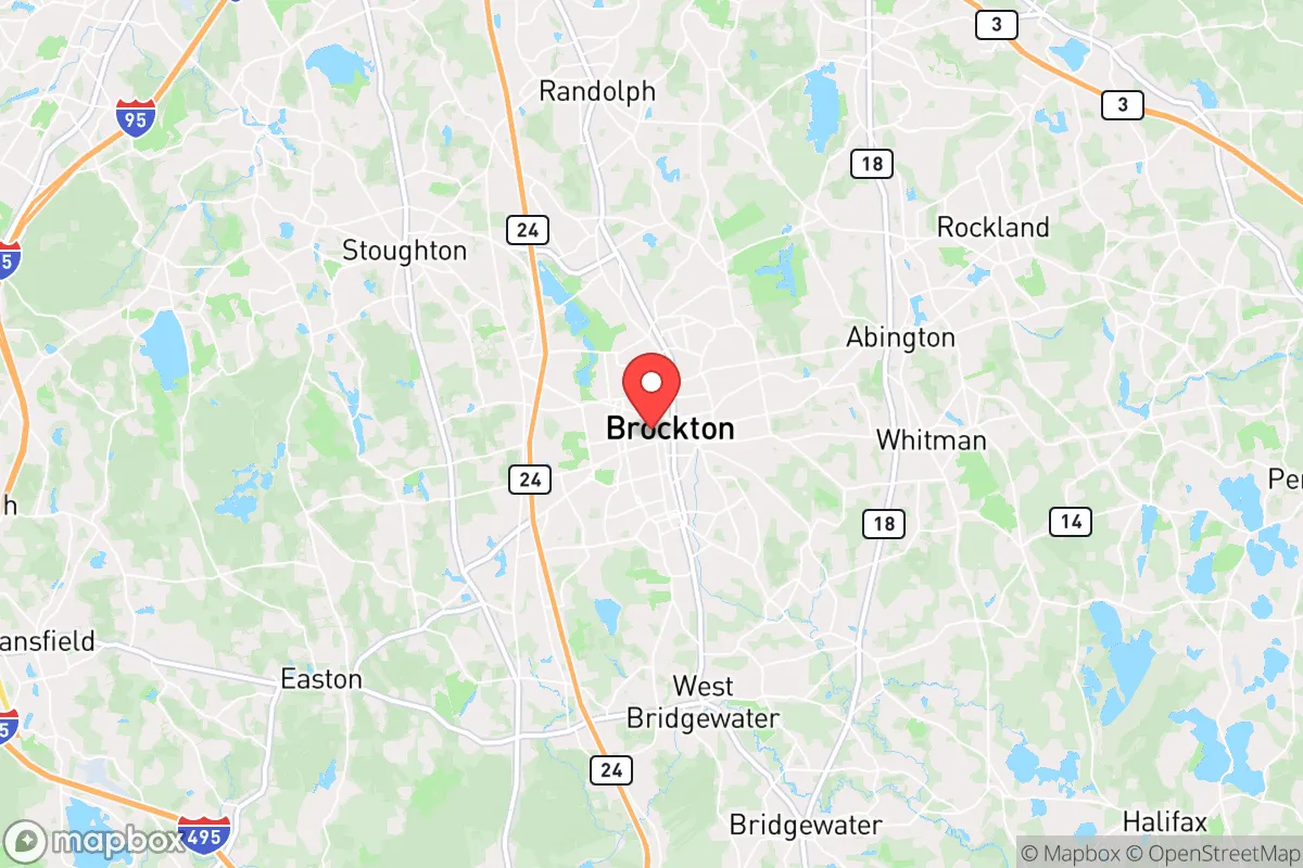
Quality of Life in Brockton, MA
A high quality of life with strong walkability, manageable living costs, healthy neighborhood signals, and solid amenity access.
What does Quality of Life tell us?
Quality of Life blends cost of living, nearby amenities, socioeconomic signals, and neighborhood character. City-level scores represent the whole municipality; individual neighborhoods can differ.
What does this tell us?
Quality of Life blends cost of living, nearby amenities, socioeconomic signals, and neighborhood character. City-level scores represent the whole municipality; individual neighborhoods can differ.
Cost of Living
37% above national average
The Real Cost of Living in Brockton, MA for 2026
| Tier | Individual | Family (4) |
|---|---|---|
| Survival | $25k | $46k |
| Comfortable | $79k | $116k |
| Luxury | $139k+ | $216k+ |
| Elite (Top 5%) | $168k+ | $261k+ |
67%
The Area Signal
A metric tracking the socioeconomic signals of the area.
Hobbies
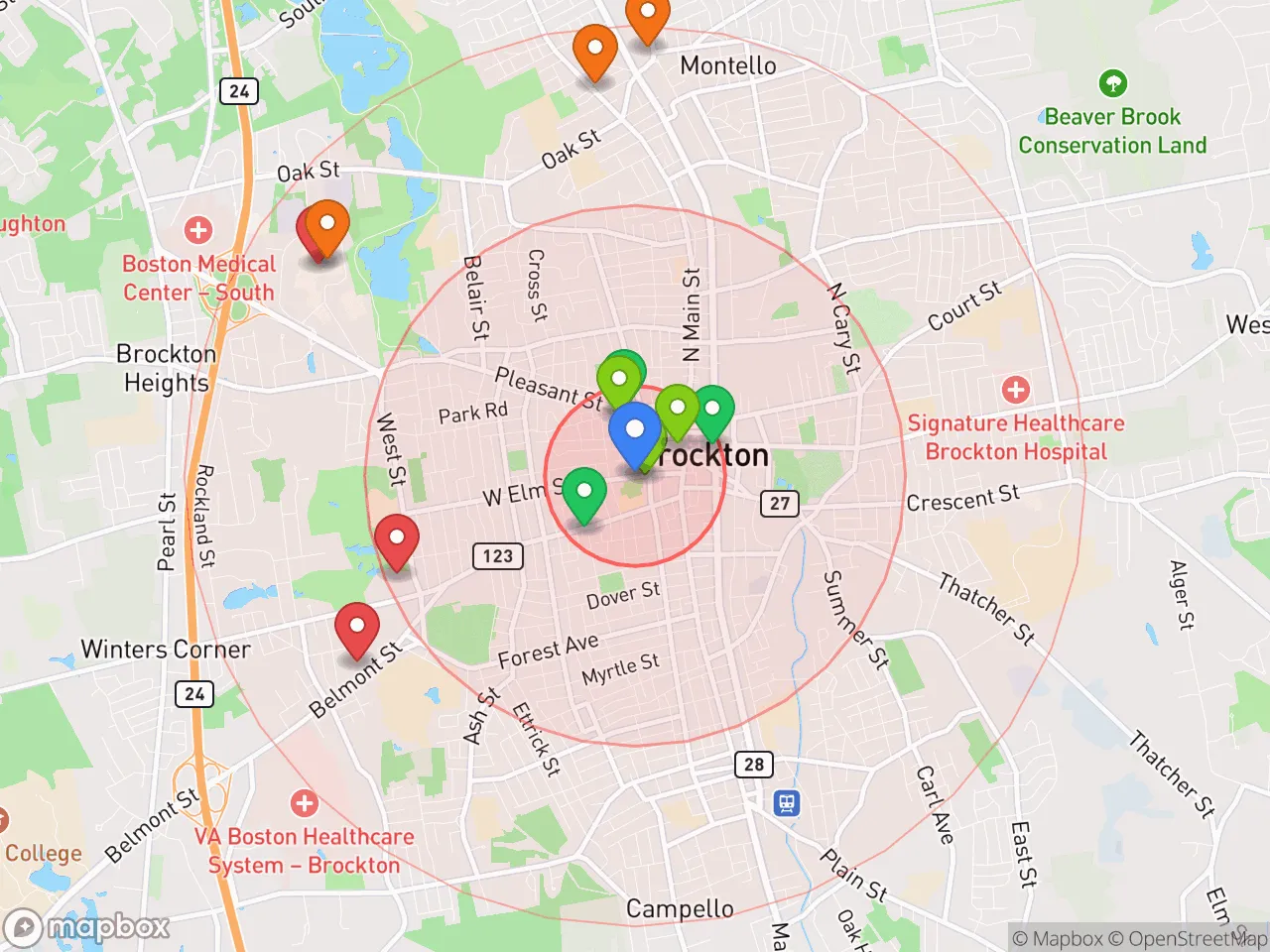
Explore the areaGroceries
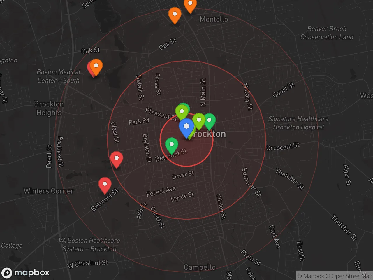
8 within 10 miles
Gas
20 within 10 miles
Hospital
20 within 20 miles
Airport
PDX — Portland International Jetport
Post Office
USPS — Brockton, MA
Critical Amenities
Quality-of-Life Analysis
Brockton, Massachusetts, presents a quality-of-life profile defined by its position as a more affordable alternative to Boston while maintaining strong urban amenities and a deeply rooted community identity. With a cost of living index of 137 (37% above the national average), the city attracts a diverse mix of working professionals, first-generation immigrants, and families who prioritize proximity to the Greater Boston job market over the higher price tags of suburbs like Newton or Wellesley. The population is notably younger and more ethnically diverse than the state average, creating a dynamic, multi-lingual atmosphere that shapes daily life from local markets to public school classrooms.
Cost of living and housing affordability compared to Boston and the South Shore
Brockton’s housing market is the central factor in its affordability equation. The median home value of $405,500 is roughly half the Boston metro median of over $800,000, making it one of the most accessible entry points for homebuyers within commuting distance of the city. Median rent sits at $1,545, which is significantly below the regional average of $2,200+ and allows renters to save for a down payment while living in a built-out city with transit access. However, the cost of living index of 137 means that groceries, utilities, and transportation still run well above the national baseline. The trade-off is clear: residents pay more than the U.S. average for everyday goods but avoid the extreme housing premiums of Boston proper or the affluent South Shore towns like Hingham and Scituate. Property taxes in Brockton are moderate for Massachusetts, and the city’s average commute of 31.9 minutes—longer than the national average of 26 minutes—reflects the reality that many residents travel to jobs in Boston, Quincy, or along the Route 128 corridor.
What daily life is like for families: schools, parks, and local amenities
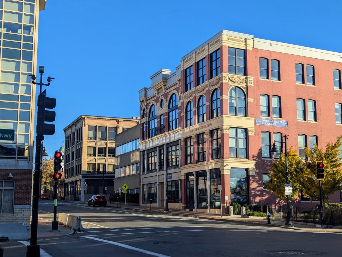
Daily life in Brockton centers on a mix of established neighborhood institutions and ongoing revitalization efforts. The Brockton Public Schools system serves over 16,000 students and includes Brockton High School, one of the largest high schools in the state, which offers robust Advanced Placement and vocational programs through the Brockton School of Health and Human Services. For recreation, D.W. Field Park provides over 700 acres of walking trails, ponds, and golf courses, while the downtown area has seen new investment in mixed-use developments and the Brockton Symphony Orchestra’s performances. The city’s dining scene reflects its diversity, with strong Cape Verdean, Haitian, and Portuguese restaurants along Main Street and Belmont Street. Retail anchors like the Westgate Mall and the Campello neighborhood’s small businesses cover most daily needs. The MBTA commuter rail station in Brockton offers direct service to Boston’s South Station in about 40 minutes, which many residents use to avoid parking costs and traffic on Route 24. Public safety remains a concern—Brockton’s violent crime rate is higher than the national average—but neighborhood watch groups and community policing initiatives have been active in recent years.
Brockton is best suited for buyers and renters who need to be within an hour of Boston but cannot afford the suburbs to the north or west, and who value ethnic diversity and urban energy over quiet, low-crime suburban homogeneity. First-time homebuyers, immigrant families building generational wealth, and professionals who work in healthcare or education will find the most practical fit here. Those seeking top-ranked schools, low crime, or a short commute should look elsewhere, but for households willing to trade those factors for a lower mortgage payment and direct rail access to the city, Brockton offers a grounded, community-rich quality of life that is increasingly rare in the Greater Boston region.
Crime in Brockton, MA
Higher crime rates than 57% of comparable U.S. locations.
Violent CrimeViolent Crime Analysis
Property CrimeProperty Crime Analysis
Crime Analysis
Brockton, Massachusetts, presents a challenging safety landscape for prospective residents. With a violent crime rate of 491.6 incidents per 100,000 residents and a property crime rate of 1,319.5 per 100,000, the city's crime statistics significantly exceed both state and national averages. These figures, combined with the influence of progressive prosecutorial policies in the broader metro-Boston area, create an environment where public safety concerns are a primary consideration for anyone evaluating a move to the city.
Crime in context
To understand Brockton's safety profile, it is essential to compare its rates against benchmarks. The national average for violent crime is roughly 380 per 100,000, making Brockton's rate about 29% higher. The gap is even wider when compared to the Massachusetts state average, which is among the lowest in the nation at approximately 300 per 100,000. Property crime in Brockton, at 1,319.5 per 100,000, also outpaces the national average of roughly 1,950 per 100,000, but is notably higher than the Massachusetts average of around 1,100 per 100,000. This means residents face a disproportionately high risk of violent victimization relative to the rest of the state, a pattern consistent with many mid-sized cities in the Boston metro area that have been affected by lenient criminal justice reforms.
What residents experience
The daily reality for Brockton residents is shaped by a justice system that, in line with many progressive Massachusetts jurisdictions, prioritizes diversion and reduced incarceration. This approach, while intended to address root causes of crime, has a direct and negative impact on public safety. Residents report frequent property crimes such as motor vehicle thefts and break-ins, as well as a visible street-level drug trade. The presence of liberal district attorneys and judges in the region means that repeat offenders often face minimal consequences, leading to a revolving-door effect that erodes community trust and increases the likelihood of victimization. For families and individuals, this translates into a need for constant vigilance—securing vehicles, installing comprehensive home security systems, and avoiding certain areas after dark.
Neighborhood-level variation
Safety is not uniform across Brockton. The downtown core and areas near the main commercial corridors, such as Main Street and Belmont Street, experience higher concentrations of crime, particularly aggravated assaults and larcenies. In contrast, the more residential neighborhoods on the city's west side, near the West Bridgewater line, and the eastern sections near the Avon line tend to have lower crime rates. However, even these quieter areas are not immune to the spillover effects of the city's overall crime problem, as property crime can occur anywhere. Prospective residents should carefully research specific blocks and talk to local police about recent incident data, as the difference between a safe street and a high-risk one can be just a few blocks in Brockton.
* Values derived from national, state, county, city and local statistics and may differ in a specific area. Last updated: 2026-05-01T19:04:48.000Z
Narrative content on this page is AI-generated and may contain mistakes. Verify any details that matter before acting on them.
ReloMaps may earn a commission from affiliate links at no extra cost to you.