Photo: Wikipedia
Strategic Assessment of Burleson, TX
Meaningful friction. Expect exposure to either population pressure, blast zones, or natural disaster risk. Consider buying a retreat property.
What does the Strategic Assessment tell us?
Our Strategic Assessment grades tactical survivability of an area. Major population centers, military targets, fallout zones, natural disasters, and border exposure all drive risk — lower exposure means a more defensible position in a crisis.
This is heavily inspired by Joel Skousen's Strategic Relocation book. Highly recommended you checkout the book ($)What does this tell us?
Our Strategic Assessment grades tactical survivability of an area. Major population centers, military targets, fallout zones, natural disasters, and border exposure all drive risk — lower exposure means a more defensible position in a crisis.
This is heavily inspired by Joel Skousen's Strategic Relocation book. Highly recommended you checkout the book ($)Strategic Pillars

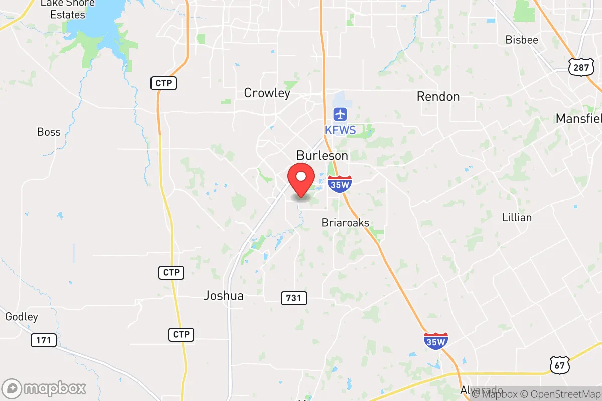
Key Distances
Regional Safe Places
Below is our recommended "safe zones" in Texas and the surrounding area based on our strategic heuristics. For most people, it's unrealistic to live in a “safe zone” full-time due to work, family or other personal reasons. They tend to be more rural. However, many of these areas are perfect for second homes and retreat properties that double as a vacation home or even a short-term rental.


Important Note: For informational purposes only. This does not mean nothing bad ever happens in the green zones. Please use common sense. This is based on public data and modeled with AI. We tried to take a conservative approach but mistakes happen. We update this regularly as new information becomes available.
Solar Generator Recommendations
Backup power matters more here than in safer locations. We've picked three solar generators across budgets and capacity tiers — start with the budget unit if you only need a few essentials, or step up if you want to run a fridge and HVAC for days at a time.

Jackery Portable Power Station Explorer 300
Budget OptionPower on the Go: Weighing only 11 lbs, it's convenient to set up and store with book-sized foldable solar panels

BLUETTI Portable Power Station AC180
Designed for both indoor and outdoor scenarios, AC180 is highly capable as it has a robost capacity and continuous output power.

EF ECOFLOW DELTA Pro Ultra Power Station
Upgraded PickEcoFlow DELTA Pro Ultra is a whole-home energy system designed to grow with your family. Integrated with the Smart Home Panel 2, it scales to meet your evolving energy needs — keeping your home powered, intelligent, and secure through every stage of life.
We earn a commission, at no additional cost to you.
Strategic Assessment Analysis
Burleson, Texas, sits in a strategic sweet spot that few relocation analysts fully appreciate: close enough to the economic engine of the Dallas-Fort Worth metroplex to sustain jobs and infrastructure, yet far enough south to avoid the worst of a major urban collapse scenario. The city’s position along the I-35W corridor, roughly 15 miles south of downtown Fort Worth, gives it a resilience profile that balances access with buffer. For a prepper or survivalist-minded relocator, Burleson offers a rare combination of suburban stability, agricultural adjacency, and a political culture that leans heavily conservative—Johnson County voted +43 points Republican in the 2024 presidential race. That’s not just a statistic; it signals a community where self-reliance, firearm ownership, and mutual aid are baseline assumptions, not fringe ideas. The question isn’t whether Burleson is safe—it’s whether you can get there before the window closes.
Geographic position and natural advantages for long-term stability
Burleson sits on the eastern edge of the Cross Timbers ecoregion, a transitional zone between the blackland prairies to the east and the rolling hills to the west. That geography matters for resilience: the area has decent groundwater access through the Trinity Aquifer, and the soils support small-scale agriculture without requiring heavy irrigation. The terrain is gently rolling, not flat, which provides natural drainage and some defensible high ground around the city’s southern and western edges. The city is not in a floodplain—the main waterway, Village Creek, is a minor tributary of the Trinity River, and FEMA flood maps show most of Burleson in Zone X (minimal flood risk). That’s a real advantage compared to suburbs like Arlington or Grand Prairie, which sit in the Trinity River floodway. The climate is humid subtropical, with hot summers and mild winters, meaning year-round growing seasons for hardy crops like black-eyed peas, okra, and sweet potatoes. The area also sits outside the primary tornado alley corridor—while severe weather happens, Burleson is less likely to see direct hits than points farther north and west. For a relocator thinking in decades, not months, the natural resource base here is adequate for subsistence, not just survival.
Risks, exposures, and proximity to fallout-relevant landmarks
The biggest strategic liability for Burleson is its proximity to the Dallas-Fort Worth metroplex, a population center of roughly 8 million people. In a mass casualty event—pandemic, grid-down scenario, or civil unrest—that population mass becomes a liability. I-35W and US-67 both run through Burleson, and in a crisis, those roads will become chokepoints or escape corridors, depending on the direction of the threat. The city is roughly 20 miles from Naval Air Station Joint Reserve Base Fort Worth, a major military installation that houses the 301st Fighter Wing and the Army’s 49th Transportation Battalion. In a national emergency, that base becomes a logistical hub and potentially a target. Burleson is also within 50 miles of the Comanche Peak Nuclear Power Plant near Glen Rose, Texas. While the plant has a solid safety record, any nuclear incident—whether accident or sabotage—would put Burleson in the 50-mile ingestion pathway zone. The city’s water supply comes from the Trinity River basin, which is vulnerable to upstream contamination from industrial sites in Fort Worth and Arlington. On the positive side, Burleson has no major chemical plants, refineries, or rail yards within its limits, which reduces the risk of a localized industrial disaster. The real exposure is human: in a collapse scenario, Burleson would see a wave of evacuees from the north, and the city’s infrastructure—currently sized for about 55,000 residents—would be overwhelmed quickly.
Practical resilience for a relocator: food, water, energy, and defensibility
For a relocator serious about self-sufficiency, Burleson offers a mixed bag. The city is on municipal water from the Trinity River Authority, which means your tap water is only as reliable as the grid and the treatment plants. A well is the better play here—the Trinity Aquifer is accessible at depths of 200 to 400 feet in Johnson County, and drilling permits are straightforward for residential use. The soil is clay-heavy but workable; a 1-acre plot can produce enough vegetables for a family of four with proper raised-bed techniques. The city’s zoning allows for backyard chickens and small livestock within city limits, though goats and larger animals require acreage outside the municipal boundary. Energy resilience is decent: Burleson is served by Oncor Electric Delivery, which has a relatively modern grid, but the area is not immune to the rolling blackouts that plagued Texas during Winter Storm Uri in 2021. Solar is viable—the region averages 220 sunny days per year—but battery storage is essential because net metering policies in Texas are utility-dependent and not guaranteed. Defensibility is where Burleson shines relative to denser suburbs. The city’s layout is a mix of older neighborhoods with mature trees and newer subdivisions with cul-de-sacs, which create natural chokepoints. The Johnson County Sheriff’s Office has a strong presence, and the local gun culture means that a significant percentage of households are armed. In a grid-down scenario, Burleson’s population density (roughly 1,200 people per square mile) is low enough that organized neighborhood watches and mutual aid networks can function effectively. The city also has a robust volunteer fire department and a local emergency management office that runs regular CERT (Community Emergency Response Team) training. For a relocator, the practical takeaway is this: Burleson is not a remote bug-out location, but it is a defensible, resource-adequate base from which to operate during a regional crisis.
The overall strategic picture for Burleson is one of calculated risk. It is not a remote redoubt—you will not disappear into the hills here. What it offers is a community that shares your values, a geography that supports basic self-sufficiency, and a location that lets you monitor the metroplex without being consumed by it. The city’s growth is accelerating—population has nearly doubled since 2010—which means the window for affordable land is closing. If you are looking for a place to plant roots, build a resilient household, and wait out the turbulence of the next decade, Burleson deserves a hard look. Just understand that you are buying into a buffer zone, not a fortress. The real work—stockpiling, training, building community—is still on you.
* Values derived from national, state, county, city and local statistics and may differ in a specific area. Last updated: 2026-04-28T18:30:44.000Z
Narrative content on this page is AI-generated and may contain mistakes. Verify any details that matter before acting on them.
ReloMaps may earn a commission from affiliate links at no extra cost to you.