Photo: Wikipedia
Strategic Assessment of Contra Costa County
Multiple tactical vulnerabilities. Population density, target proximity, or disaster risk are likely compounding. A retreat property and exit planning is required.
What does the Strategic Assessment tell us?
Our Strategic Assessment grades tactical survivability of an area. Major population centers, military targets, fallout zones, natural disasters, and border exposure all drive risk — lower exposure means a more defensible position in a crisis.
This is heavily inspired by Joel Skousen's Strategic Relocation book. Highly recommended you checkout the book ($)What does this tell us?
Our Strategic Assessment grades tactical survivability of an area. Major population centers, military targets, fallout zones, natural disasters, and border exposure all drive risk — lower exposure means a more defensible position in a crisis.
This is heavily inspired by Joel Skousen's Strategic Relocation book. Highly recommended you checkout the book ($)Strategic Pillars

Key Distances
Strategic Assessment Analysis
Contra Costa County offers a mixed strategic picture for the relocation-minded reader focused on resilience and self-sufficiency. Its position at the eastern edge of the San Francisco Bay Area provides a buffer from the densest urban cores while still exposing residents to the region’s major economic and logistical chokepoints—namely the Port of Oakland, the Richmond-San Rafael Bridge corridor, and the Chevron Richmond Refinery. For those weighing disaster readiness, the county’s real value lies in its access to inland agricultural zones and freshwater sources, but its proximity to high-value industrial and military targets introduces risks that demand careful site selection within the county.
Geographic position and natural advantages for long-term stability
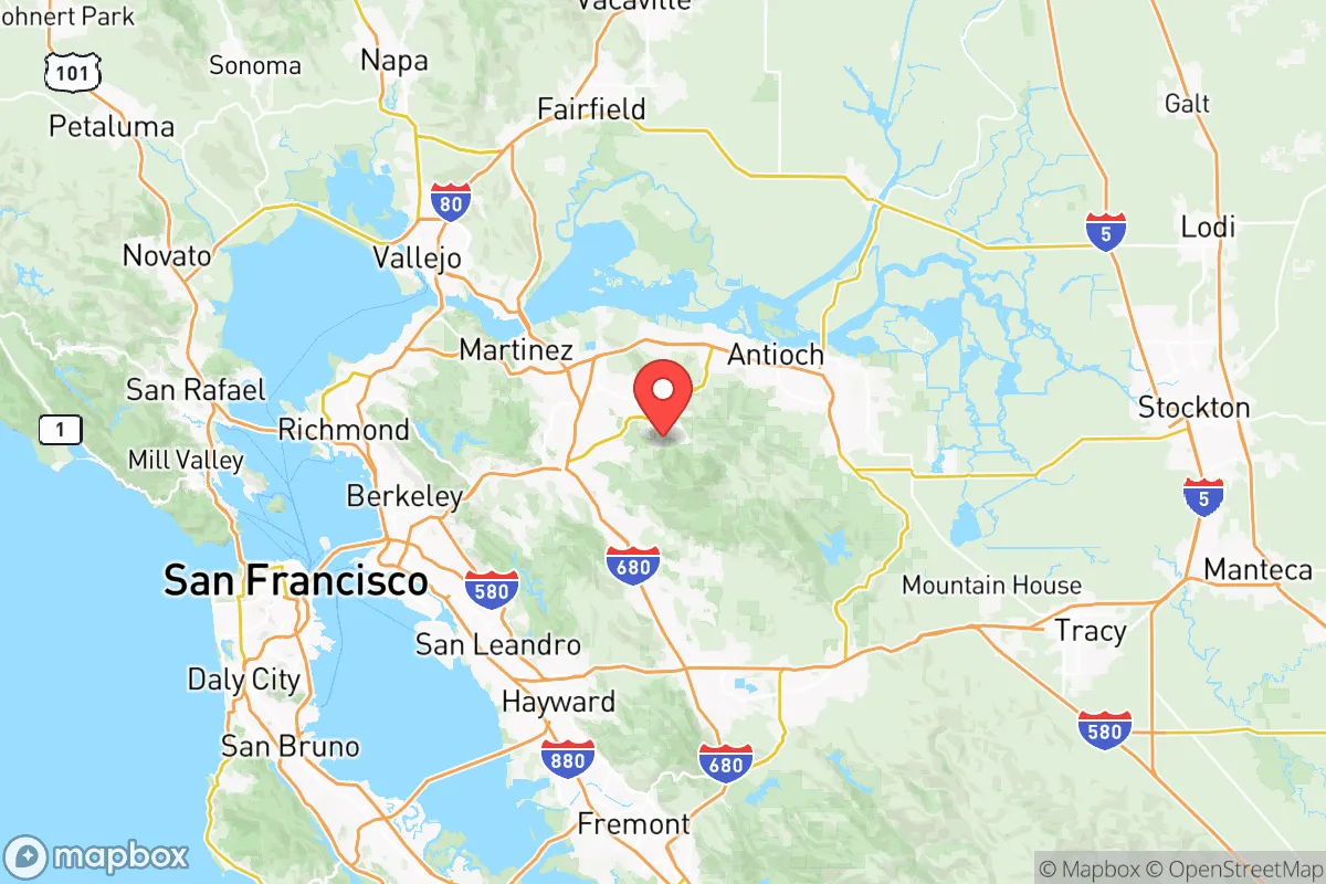
Contra Costa County stretches from the Carquinez Strait in the north down to the Livermore Valley in the south, giving it a diverse topography that includes coastal hills, river valleys, and the eastern slopes of Mount Diablo. This geography offers several natural advantages. The county sits at the confluence of the Sacramento and San Joaquin Rivers, which feed into the Delta—California’s largest freshwater supply. Communities like Antioch and Oakley lie near the Delta’s levees and waterways, providing potential access to irrigation and emergency water sources. The Mount Diablo range creates a rain shadow effect that keeps eastern parts of the county—such as Brentwood and Discovery Bay—drier and less prone to wildfire than the densely forested western hills. For a relocator, the eastern half of the county offers more defensible terrain: open agricultural land, lower population density, and fewer choke points for evacuation. The county’s position also places it within a two-hour drive of the Central Valley’s food-producing regions, including the San Joaquin Valley’s orchards and dairy operations, which could be critical during supply chain disruptions.
Risks, exposures, and proximity to fallout-relevant landmarks
The same geography that provides water access also places Contra Costa County near several high-consequence industrial and infrastructure targets. The Chevron Richmond Refinery, one of the largest on the West Coast, processes roughly 240,000 barrels of crude oil per day and sits directly on the San Francisco Bay shoreline. A major incident there—whether accidental or deliberate—could release toxic clouds or trigger cascading fires that affect downwind communities like Richmond, El Cerrito, and Pinole. The county also hosts the Port of Stockton’s western terminals and the Martinez Refining Company, another major petroleum facility. For a reader concerned about fallout from a broader conflict or economic collapse, these industrial nodes are obvious vulnerabilities. Additionally, the county lies within 30 miles of Travis Air Force Base in Solano County, a strategic airlift hub that could become a target during wartime. Wildfire risk is unevenly distributed: the western hills (e.g., Orinda, Moraga, Lafayette) face high fire danger due to dense vegetation and winding roads, while the eastern flatlands are less exposed but still vulnerable to Delta levee failures during earthquakes. The Hayward Fault runs through the western edge of the county, and a major quake could disrupt the BART system, bridges, and water pipelines that connect the region.
Practical resilience for a relocator: food, water, energy, and defensibility
For someone serious about self-sufficiency, Contra Costa County’s eastern corridor offers the most practical advantages. Brentwood and Discovery Bay sit on prime agricultural soil—Brentwood alone has over 50 farms producing stone fruit, vegetables, and nuts. This local food production is a genuine resilience asset, reducing dependence on long supply chains. Water access is more complicated: the Delta provides abundant surface water, but much of it is allocated to agricultural districts and subject to state regulations. Wells are common in rural parts of eastern Contra Costa, but groundwater levels have declined in recent decades. Energy infrastructure is robust but centralized: PG&E runs the grid, and the county has no major off-grid power generation beyond a few small solar farms. For defensibility, the eastern towns offer more space between homes, lower crime rates, and fewer evacuation bottlenecks than the congested western suburbs. However, the county’s overall population density—over 1.1 million people—means that even the rural areas are within a 30-minute drive of a major highway or rail line, which could become a liability during a mass evacuation. The Brentwood area, for instance, has only two main roads (Highway 4 and Marsh Creek Road) leading out, both of which can gridlock during emergencies. A relocator should prioritize properties with multiple egress routes, on-site water storage, and defensible space against wildfire.
Overall, Contra Costa County presents a nuanced strategic picture. Its eastern half offers genuine resilience advantages—local food production, Delta water access, and lower population density—that make it a viable option for a relocator willing to invest in site-specific preparations. But the county’s proximity to major industrial targets (refineries, ports, military bases) and its dependence on fragile infrastructure (the Delta levees, the BART system, the PG&E grid) mean that no location within it is truly insulated from regional shocks. For the conservative-leaning reader prioritizing long-term stability, the best bet is to focus on the eastern agricultural towns—Brentwood, Oakley, Discovery Bay—while accepting that the county’s overall exposure to Bay Area risks is higher than, say, the Sierra foothills or the Central Valley interior. The key is to treat Contra Costa as a strategic compromise: better than the urban core, but not as resilient as more remote alternatives.

* Values derived from national, state, county, city and local statistics and may differ in a specific area. Last updated: 2026-09-17T22:47:31.000Z
Narrative content on this page is AI-generated and may contain mistakes. Verify any details that matter before acting on them.
ReloMaps may earn a commission from affiliate links at no extra cost to you.

