Photo: Wikipedia
Strategic Assessment of Centennial, CO
Multiple tactical vulnerabilities. Population density, target proximity, or disaster risk are likely compounding. A retreat property and exit planning is required.
What does the Strategic Assessment tell us?
Our Strategic Assessment grades tactical survivability of an area. Major population centers, military targets, fallout zones, natural disasters, and border exposure all drive risk — lower exposure means a more defensible position in a crisis.
This is heavily inspired by Joel Skousen's Strategic Relocation book. Highly recommended you checkout the book ($)What does this tell us?
Our Strategic Assessment grades tactical survivability of an area. Major population centers, military targets, fallout zones, natural disasters, and border exposure all drive risk — lower exposure means a more defensible position in a crisis.
This is heavily inspired by Joel Skousen's Strategic Relocation book. Highly recommended you checkout the book ($)Strategic Pillars

Key Distances
Regional Safe Places
Below is our recommended "safe zones" in Colorado and the surrounding area based on our strategic heuristics. For most people, it's unrealistic to live in a “safe zone” full-time due to work, family or other personal reasons. They tend to be more rural. However, many of these areas are perfect for second homes and retreat properties that double as a vacation home or even a short-term rental.


Important Note: For informational purposes only. This does not mean nothing bad ever happens in the green zones. Please use common sense. This is based on public data and modeled with AI. We tried to take a conservative approach but mistakes happen. We update this regularly as new information becomes available.
Solar Generator Recommendations
Backup power matters more here than in safer locations. We've picked three solar generators across budgets and capacity tiers — start with the budget unit if you only need a few essentials, or step up if you want to run a fridge and HVAC for days at a time.

Jackery Portable Power Station Explorer 300
Budget OptionPower on the Go: Weighing only 11 lbs, it's convenient to set up and store with book-sized foldable solar panels

BLUETTI Portable Power Station AC180
Designed for both indoor and outdoor scenarios, AC180 is highly capable as it has a robost capacity and continuous output power.

EF ECOFLOW DELTA Pro Ultra Power Station
Upgraded PickEcoFlow DELTA Pro Ultra is a whole-home energy system designed to grow with your family. Integrated with the Smart Home Panel 2, it scales to meet your evolving energy needs — keeping your home powered, intelligent, and secure through every stage of life.
We earn a commission, at no additional cost to you.
Strategic Assessment Analysis
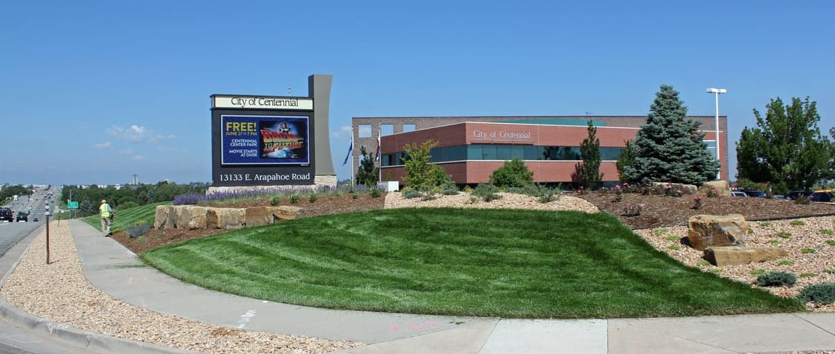
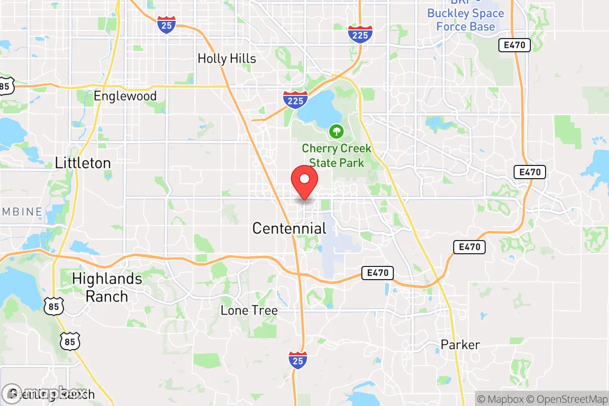
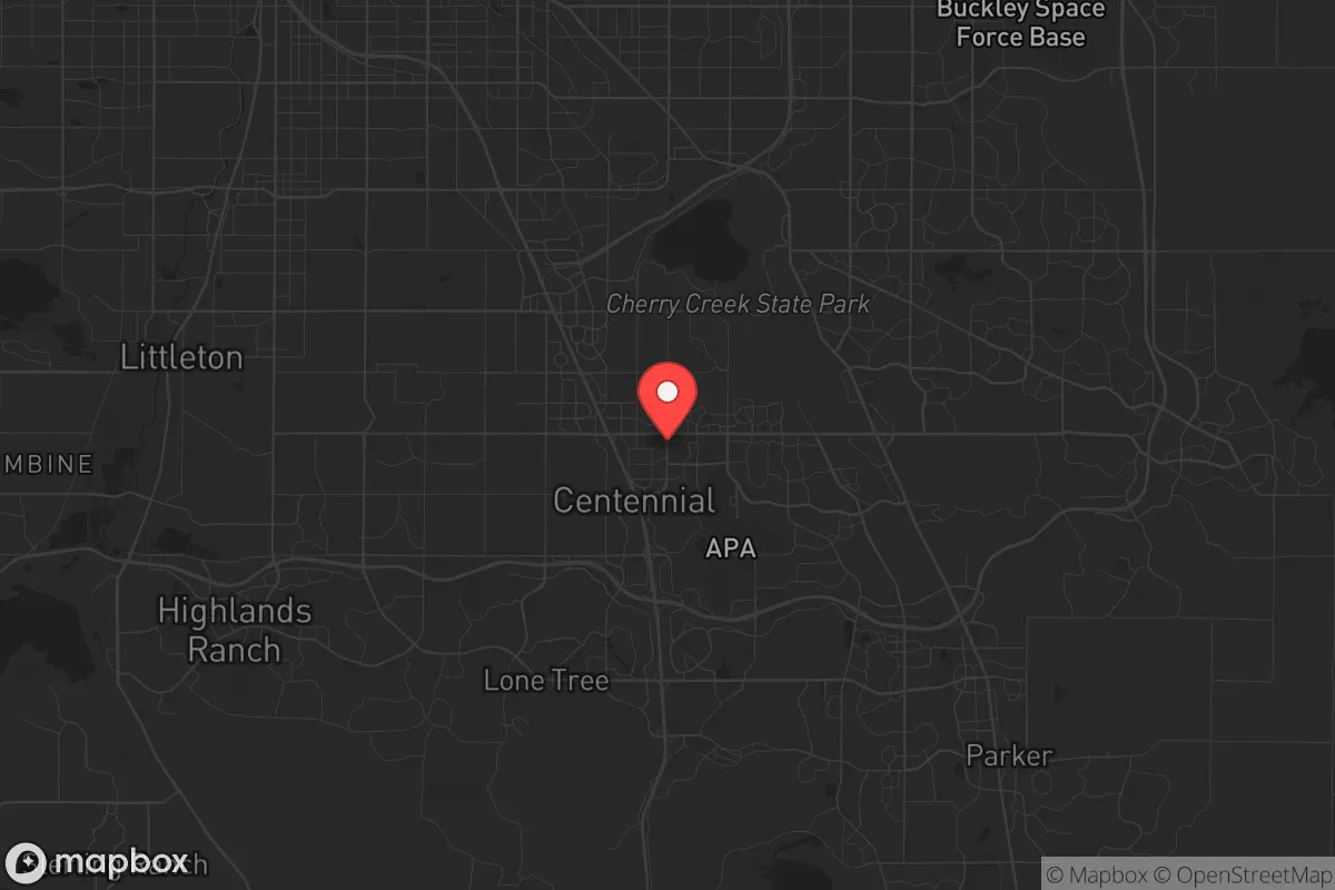
Centennial, Colorado, sits in a geographic sweet spot that offers genuine strategic depth for those thinking long-term about resilience, but it comes with trade-offs that demand clear-eyed assessment. Located in Arapahoe County along the I-25 corridor, this suburb of roughly 110,000 residents benefits from Denver's economic engine while maintaining enough distance to avoid the worst of a major urban collapse scenario. The city's elevation at 5,800 feet, its position on the high plains just east of the Rocky Mountain foothills, and its access to multiple evacuation routes make it a location worth serious consideration for anyone prioritizing preparedness over convenience.
Geographic position and natural advantages for long-term stability
Centennial's location at the junction of the high plains and the Front Range urban corridor gives it a rare combination of accessibility and defensible terrain. The city sits roughly 15 miles south of downtown Denver, but the sprawl between them is low-density suburban development, not dense urban fabric — meaning a collapse in Denver's core would not immediately cascade into Centennial. To the west, the foothills of the Rockies rise within 20 miles, offering potential retreat options into national forest land (Pike-San Isabel National Forest is about an hour's drive). To the east, the plains stretch uninterrupted for hundreds of miles, providing open ground for alternative agriculture or relocation if the Front Range becomes untenable. The area's semi-arid climate means fewer natural disasters than coastal regions: no hurricanes, no earthquakes of significance, and wildfires, while a real threat, are less frequent than in the mountain communities directly west. Average annual precipitation is about 15 inches, mostly as snow, which provides a natural water source in winter months if infrastructure fails. The city's elevation also means cooler summers and less humidity, reducing disease vectors and spoilage rates for stored food.
Risks, exposures, and proximity to fallout-relevant landmarks
The most significant strategic vulnerability of Centennial is its proximity to high-value targets along the Front Range. Buckley Space Force Base in Aurora is just 12 miles north — a primary military installation that would be a likely target in any major conflict. The Denver Federal Center in Lakewood, about 20 miles northwest, houses numerous federal agencies including the Bureau of Land Management and the U.S. Geological Survey. The Denver International Airport, 25 miles northeast, is a major logistics hub that would be a priority for any adversary. Additionally, the I-25 corridor itself is a chokepoint: a single major incident on that highway could effectively cut off Centennial from both Denver to the north and Colorado Springs to the south. The city's reliance on the Front Range urban water system — primarily the South Platte River and reservoirs like Chatfield and Cherry Creek — means that any contamination or disruption to those sources would affect Centennial directly. There is also the risk of civil unrest spilling over from Denver; the city saw significant protests in 2020, and Centennial's relative affluence could make it a target for looting or resource-seeking during a breakdown of order. The area's high property values also mean that real estate is expensive, which could limit the ability to acquire additional land for self-sufficiency.
Practical resilience for a relocator: food, water, energy, and defensibility
For a relocator serious about preparedness, Centennial offers a mixed bag. On the positive side, the city has a robust municipal water system fed by multiple reservoirs, but a prepper should not rely on it. The South Platte River runs about 10 miles west, and Cherry Creek runs through the southern part of the city — both are viable for filtration and purification with proper gear. The area's groundwater is generally good, but well permits are rare in suburban subdivisions. For food, the Front Range has a growing network of local farms and CSAs, but Centennial itself is mostly residential and commercial; serious gardening requires a yard, and HOAs in many neighborhoods restrict livestock. The city's climate allows for a single growing season of about 150 days, suitable for cold-hardy crops like potatoes, carrots, and leafy greens. Energy resilience is a bright spot: Colorado's net metering laws are favorable for solar, and many homes in Centennial already have rooftop panels. Battery storage is increasingly common, and the area's 300+ days of sunshine per year make solar a reliable option even in winter. For defensibility, Centennial's suburban layout — cul-de-sacs, wide streets, and single-family homes with yards — offers natural chokepoints and good sightlines, but it is not a fortress. The city's police force is well-funded and responsive, but in a prolonged crisis, law enforcement would be stretched thin. The proximity to the Denver metro area means that any major event would bring a flood of refugees from the city, overwhelming local resources. A serious prepper would need to plan for at least 90 days of self-sufficiency, including water storage, food reserves, medical supplies, and a means of defense. The city's location also makes it a potential transit corridor for military or federal forces moving between Denver and Colorado Springs, which could bring unwanted attention.
The overall strategic picture for Centennial is one of calculated risk. It is not a remote survivalist retreat, nor is it a high-risk urban kill zone. It sits in a middle ground that rewards preparation and penalizes complacency. For a conservative-leaning individual or family who wants to maintain a professional career in the Denver metro while building a resilient home base, Centennial offers a viable option — provided you are willing to invest in solar, water storage, and a solid plan for evacuation or shelter-in-place. The city's strong economy, good schools, and relatively low crime rate make it a stable place to live in normal times. But in abnormal times — civil unrest, supply chain collapse, or a major geopolitical event — Centennial's proximity to multiple high-value targets and its dependence on fragile infrastructure mean that it is not a safe haven. It is a staging ground. The smart play here is to treat Centennial as a base of operations, not a final redoubt. Have a bug-out location in the mountains or on the plains, maintain a low profile, and keep your supplies stocked. If you do that, Centennial can work. If you don't, it's just another suburb waiting to be overrun.
* Values derived from national, state, county, city and local statistics and may differ in a specific area. Last updated: 2026-04-23T02:48:29.000Z
Narrative content on this page is AI-generated and may contain mistakes. Verify any details that matter before acting on them.
ReloMaps may earn a commission from affiliate links at no extra cost to you.