Photo: Wikipedia
Strategic Assessment of Charleston, SC
Multiple tactical vulnerabilities. Population density, target proximity, or disaster risk are likely compounding. A retreat property and exit planning is required.
What does the Strategic Assessment tell us?
Our Strategic Assessment grades tactical survivability of an area. Major population centers, military targets, fallout zones, natural disasters, and border exposure all drive risk — lower exposure means a more defensible position in a crisis.
This is heavily inspired by Joel Skousen's Strategic Relocation book. Highly recommended you checkout the book ($)What does this tell us?
Our Strategic Assessment grades tactical survivability of an area. Major population centers, military targets, fallout zones, natural disasters, and border exposure all drive risk — lower exposure means a more defensible position in a crisis.
This is heavily inspired by Joel Skousen's Strategic Relocation book. Highly recommended you checkout the book ($)Strategic Pillars

Key Distances
Regional Safe Places
Below is our recommended "safe zones" in South Carolina and the surrounding area based on our strategic heuristics. For most people, it's unrealistic to live in a “safe zone” full-time due to work, family or other personal reasons. They tend to be more rural. However, many of these areas are perfect for second homes and retreat properties that double as a vacation home or even a short-term rental.


Important Note: For informational purposes only. This does not mean nothing bad ever happens in the green zones. Please use common sense. This is based on public data and modeled with AI. We tried to take a conservative approach but mistakes happen. We update this regularly as new information becomes available.
Solar Generator Recommendations
Backup power matters more here than in safer locations. We've picked three solar generators across budgets and capacity tiers — start with the budget unit if you only need a few essentials, or step up if you want to run a fridge and HVAC for days at a time.

Jackery Portable Power Station Explorer 300
Budget OptionPower on the Go: Weighing only 11 lbs, it's convenient to set up and store with book-sized foldable solar panels

BLUETTI Portable Power Station AC180
Designed for both indoor and outdoor scenarios, AC180 is highly capable as it has a robost capacity and continuous output power.

EF ECOFLOW DELTA Pro Ultra Power Station
Upgraded PickEcoFlow DELTA Pro Ultra is a whole-home energy system designed to grow with your family. Integrated with the Smart Home Panel 2, it scales to meet your evolving energy needs — keeping your home powered, intelligent, and secure through every stage of life.
We earn a commission, at no additional cost to you.
Strategic Assessment Analysis
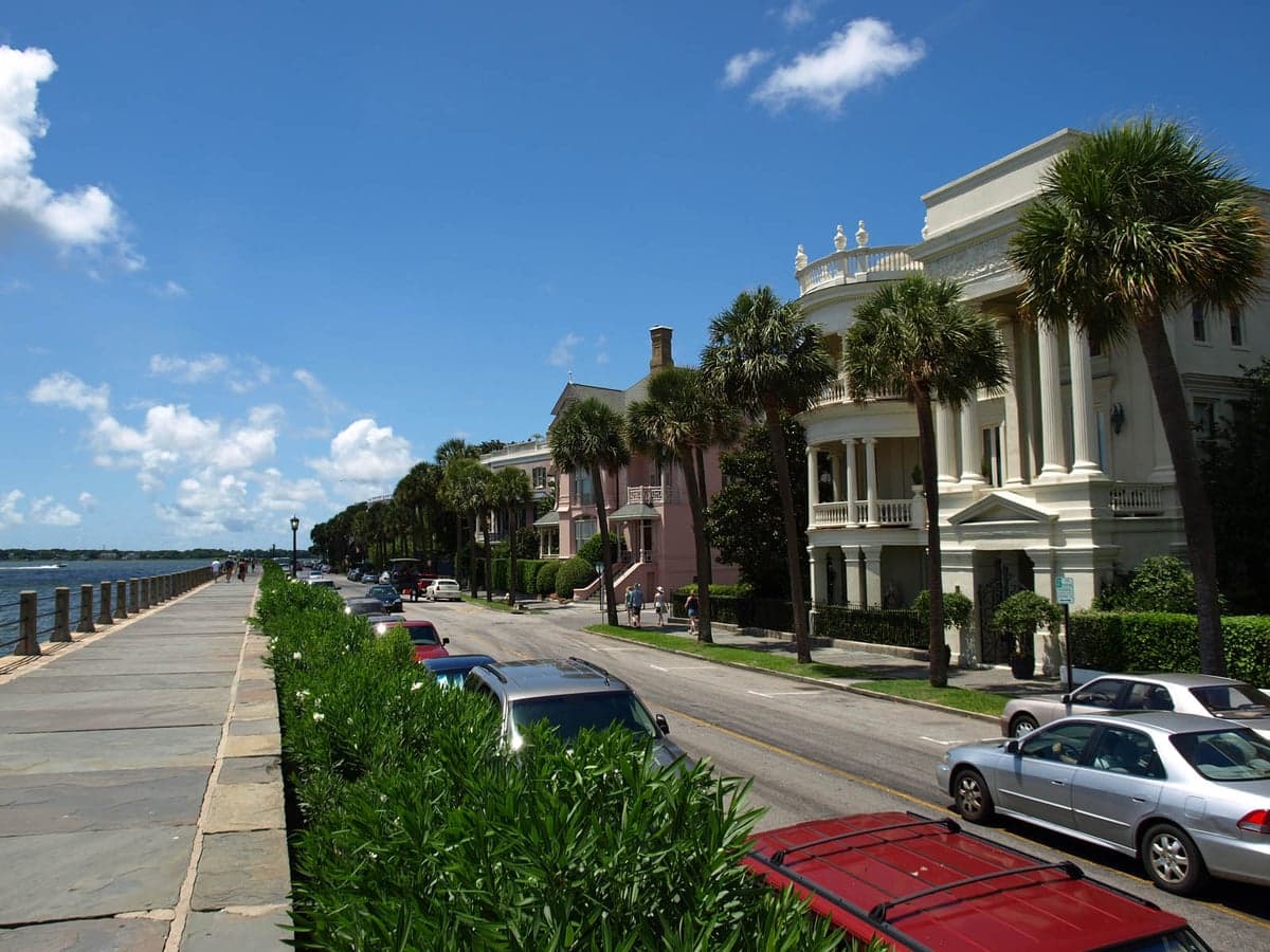
Charleston, South Carolina, presents a complex strategic picture for the conservative prepper or survivalist. Its coastal position offers significant economic and logistical advantages, but those same features create severe vulnerabilities that must be weighed carefully. For a relocator prioritizing long-term resilience against civic unrest, mass casualty events, and natural disasters, Charleston is a high-risk, high-reward location that demands a clear-eyed assessment of its geographic realities and exposure to modern threats.
Geographic position and natural advantages for long-term survival
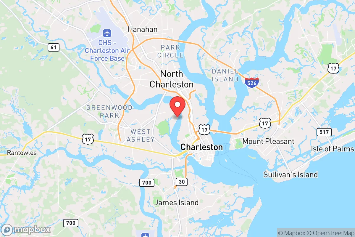
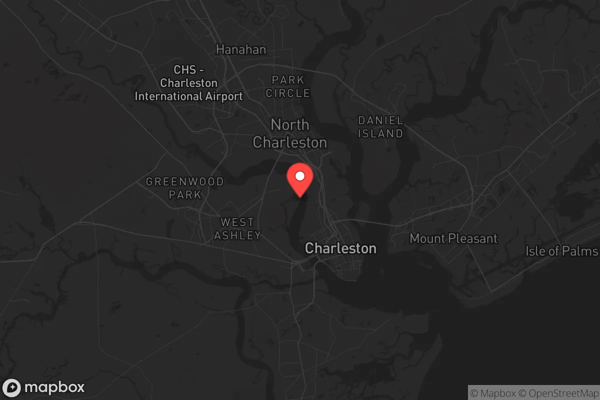
Charleston’s location at the confluence of the Ashley and Cooper Rivers, opening onto the Atlantic, provides a natural maritime buffer and access to international shipping lanes. This makes the Port of Charleston a critical economic engine, but from a survivalist perspective, it also means the area is a potential target for disruption. The surrounding Lowcountry terrain—marshlands, barrier islands, and dense pine forests—offers some natural defensibility, especially for those willing to live outside the immediate urban core. The region’s subtropical climate supports a long growing season, which is a genuine asset for food self-sufficiency. However, the same humidity that enables year-round gardening also accelerates decay and mold, complicating long-term food storage. The area’s numerous creeks and rivers provide abundant freshwater sources, but they are also prone to saltwater intrusion during storm surges, making well placement and water purification a critical prepper consideration. For a relocator, the key advantage here is the ability to establish a semi-rural homestead within a 30- to 45-minute drive of the city’s resources, leveraging the coastal plain’s agricultural potential while maintaining some distance from population centers.
Risks, exposures, and proximity to fallout-relevant landmarks
The most glaring vulnerability for Charleston is its exposure to hurricane storm surge and flooding. The city sits at an average elevation of just 10 feet above sea level, and the National Hurricane Center’s SLOSH models show that a Category 3 storm could inundate large portions of the peninsula and surrounding suburbs. For a prepper, this means any bug-in location must be above the 15-foot contour line, which pushes viable properties inland toward Summerville, Moncks Corner, or the higher ground of the Francis Marion National Forest. Beyond weather, Charleston’s proximity to Joint Base Charleston—a major Air Force installation and home to the 437th Airlift Wing—makes it a potential target in a conflict scenario. The base is a hub for C-17 transport operations and is within 10 miles of the city center. Additionally, the nearby Savannah River Site, a nuclear weapons facility about 90 miles up the coast, presents a low-probability but high-consequence fallout risk if a catastrophic event occurred. For the conservative relocator concerned about civil unrest, Charleston’s tourism-dependent economy means the city swells with transient populations during peak seasons, creating a volatile mix of visitors and locals that could amplify chaos during a breakdown. The city’s historic reliance on a single bridge (the Arthur Ravenel Jr. Bridge) for evacuation from the peninsula is a choke point that could become impassable in a mass-exodus scenario.
Practical resilience for a relocator: food, water, energy, and defensibility
For food security, Charleston’s agricultural hinterland is a mixed bag. The surrounding counties—Berkeley, Dorchester, and Colleton—have productive farmland, but much of it is dedicated to row crops like corn and soybeans rather than diversified subsistence farming. A relocator would need to invest in raised-bed gardening and possibly small livestock to achieve true self-sufficiency. The local farmers’ markets are robust, but they depend on supply chains that could fail during a crisis. Water is more promising: the Edisto River and Cooper River provide reliable freshwater sources, and the area’s high water table means shallow wells are feasible in many rural parcels. However, saltwater intrusion is a real concern for coastal wells, so a prepper should budget for a reverse osmosis system or a deep well drilled into the Floridan aquifer. Energy resilience is a weak point. Charleston’s grid is vulnerable to hurricane damage, and power outages lasting a week or more are common after major storms. Solar with battery backup is a wise investment, but the region’s frequent cloud cover during storm seasons reduces solar yield. Propane generators are a more reliable backup, but fuel resupply can be disrupted. Defensibility is best achieved by choosing a property with natural barriers—a creek, marsh, or dense forest—and avoiding the suburban sprawl of Mount Pleasant and Summerville, which are too densely populated for effective perimeter security. The ideal location is a rural parcel in Colleton or Berkeley County, accessible only by a single road, with a clear line of sight to the approach.
The overall strategic picture for Charleston is one of calculated risk. It offers genuine advantages in terms of climate, water access, and agricultural potential, but these are offset by severe exposure to hurricanes, a vulnerable evacuation corridor, and proximity to military and nuclear infrastructure. For a conservative relocator who is willing to invest in robust infrastructure—elevated construction, off-grid power, deep wells, and food storage—and who chooses a location inland and above the floodplain, Charleston can be a viable base. But it is not a retreat. It is a forward operating position that requires constant vigilance and a solid plan for temporary relocation during hurricane season. For those seeking a low-maintenance, low-risk survival location, the inland Southeast or the Appalachian foothills would be a more prudent choice. Charleston is for the prepper who wants coastal access and economic opportunity but is prepared to work hard to mitigate its inherent vulnerabilities.
* Values derived from national, state, county, city and local statistics and may differ in a specific area. Last updated: 2026-04-29T21:46:07.000Z
Narrative content on this page is AI-generated and may contain mistakes. Verify any details that matter before acting on them.
ReloMaps may earn a commission from affiliate links at no extra cost to you.