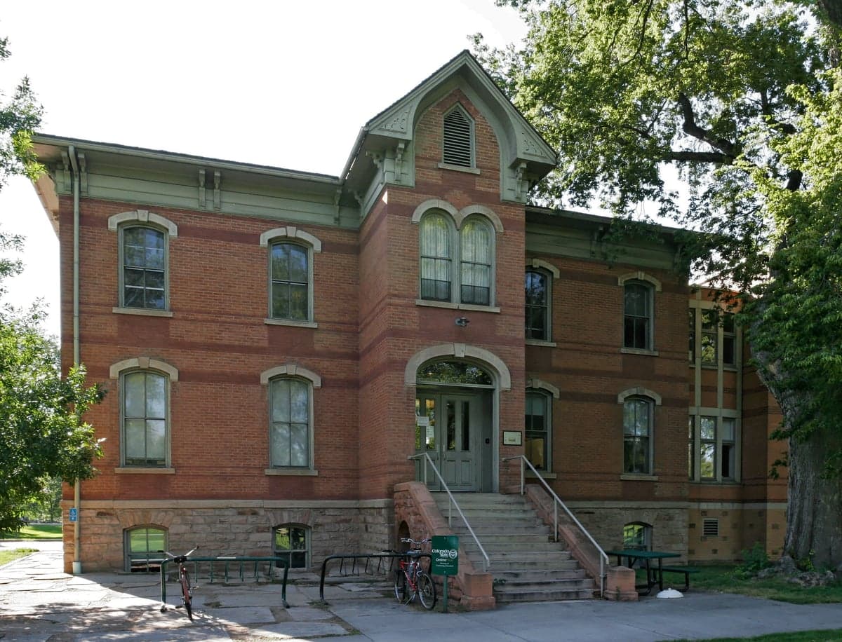
Photo: Wikipedia
Strategic Assessment of Larimer County
Workable tactical position. Some exposure to population density or targets, but generally defensible in a crisis.
What does the Strategic Assessment tell us?
Our Strategic Assessment grades tactical survivability of an area. Major population centers, military targets, fallout zones, natural disasters, and border exposure all drive risk — lower exposure means a more defensible position in a crisis.
This is heavily inspired by Joel Skousen's Strategic Relocation book. Highly recommended you checkout the book ($)What does this tell us?
Our Strategic Assessment grades tactical survivability of an area. Major population centers, military targets, fallout zones, natural disasters, and border exposure all drive risk — lower exposure means a more defensible position in a crisis.
This is heavily inspired by Joel Skousen's Strategic Relocation book. Highly recommended you checkout the book ($)Strategic Pillars

Key Distances
Strategic Assessment Analysis
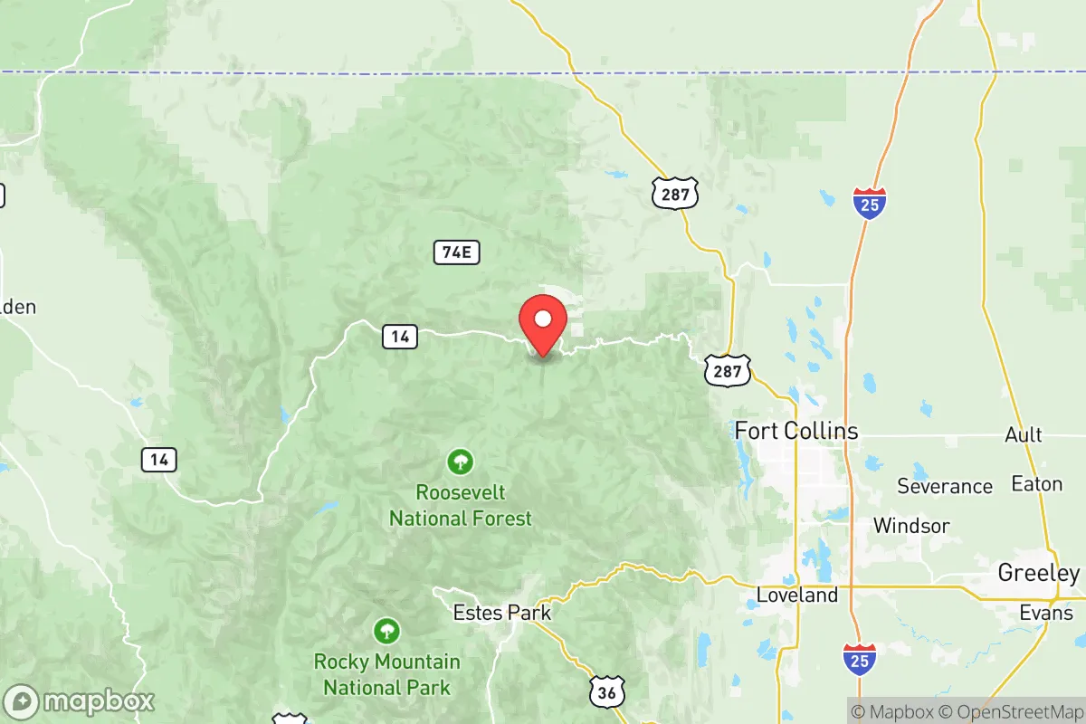
Larimer County offers a compelling mix of geographic isolation and practical self-sufficiency, making it a serious option for relocators prioritizing resilience. Positioned at the northern edge of Colorado’s Front Range, the county sits far from major coastal targets like the San Francisco Bay or the Houston Ship Channel, while still maintaining access to critical infrastructure and supply routes. Its location—roughly 60 miles north of Denver and 45 miles south of the Wyoming border—provides a buffer from the densest population centers, yet keeps residents within reach of medical hubs and regional logistics networks in Fort Collins and Loveland.
Geographic position and natural advantages for long-term stability
Larimer County’s geography is defined by the transition from the Great Plains to the Rocky Mountain foothills, offering a mix of flat agricultural land and defensible high ground. The county’s western half, including the communities of Estes Park and Red Feather Lakes, sits at elevations above 7,500 feet, providing natural observation points and reduced vulnerability to flooding or airborne contaminants. The eastern plains, around Wellington and Berthoud, offer fertile soil and access to the South Platte River basin, which supports irrigation and livestock. The Cache la Poudre River, which runs through Fort Collins and into the Poudre Canyon, is a perennial water source that does not rely on snowmelt alone, giving the county a more reliable hydrological profile than many arid Western regions. The county’s position also places it within a day’s drive of major agricultural hubs in Nebraska and Kansas, which could serve as secondary supply corridors in a disruption scenario.
Risk exposure and proximity to fallout-relevant landmarks
While Larimer County avoids the worst of coastal and industrial fallout zones, it is not without risks. The county is within 70 miles of the Rocky Flats National Wildlife Refuge, a former nuclear weapons plant that remains a Superfund site—though remediation has reduced immediate hazards, the psychological and historical weight of the site is worth noting. More pressing is the county’s proximity to the Denver metropolitan area, which includes Buckley Space Force Base and the Denver International Airport (DIA), both of which could be secondary targets in a conflict scenario. The county also sits near the Wyoming border, within 100 miles of F.E. Warren Air Force Base, a major missile command center. Natural risks include wildfire in the foothills—the 2020 Cameron Peak Fire burned over 200,000 acres in the county—and occasional drought that stresses agricultural output. The county’s eastern edge is also within the tornado-prone plains corridor, though severe events are less frequent than in Kansas or Oklahoma. For a relocator, the key takeaway is that Larimer County is not a zero-risk zone, but its risks are primarily natural and manageable, rather than strategic and catastrophic.
Practical resilience for a relocator: food, water, energy, and defensibility
Larimer County’s practical resilience is above average for a Front Range county, largely due to its agricultural base and decentralized water infrastructure. The county is home to over 1,200 farms and ranches, with significant production of hay, corn, and cattle in the eastern plains around Loveland and Johnstown. The Cache la Poudre River and the Big Thompson River provide surface water rights that are more secure than groundwater-dependent areas, though drought years can trigger rationing. The county’s energy grid is served by Platte River Power Authority, which draws from a mix of coal, natural gas, and renewables; however, the county’s rural areas are more likely to have backup generators and solar installations, particularly in the mountain communities. Defensibility varies by location: the western mountain towns offer natural chokepoints via narrow canyon roads, while the eastern plains are more open and harder to secure. Fort Collins itself is a population center of roughly 170,000, which could become a liability in a prolonged crisis, but the county’s smaller towns—Wellington, Berthoud, and Estes Park—offer more manageable community sizes and stronger local social networks. The presence of Colorado State University in Fort Collins also provides a pool of technical expertise in agriculture, veterinary science, and engineering, which could be leveraged for long-term recovery efforts.
Overall, Larimer County presents a balanced strategic picture for the resilience-minded relocator. It avoids the worst of coastal and industrial fallout zones while offering reliable water, productive farmland, and defensible terrain in its western half. The primary trade-offs are the proximity to Denver’s strategic targets and the natural risks of wildfire and drought. For a family or individual willing to invest in fire mitigation, water storage, and community integration in a smaller town like Wellington or Estes Park, Larimer County offers a strong foundation for long-term stability without the isolation of more remote mountain counties. The key is to choose a location within the county that aligns with your risk tolerance—eastern plains for agricultural self-sufficiency, western foothills for defensibility, and avoid the densest parts of Fort Collins if population concentration is a concern.

* Values derived from national, state, county, city and local statistics and may differ in a specific area. Last updated: 2026-08-08T13:54:29.000Z
Narrative content on this page is AI-generated and may contain mistakes. Verify any details that matter before acting on them.
ReloMaps may earn a commission from affiliate links at no extra cost to you.

