
Strategic Assessment of Southeastern Connecticut Planning Region County
Multiple tactical vulnerabilities. Population density, target proximity, or disaster risk are likely compounding. A retreat property and exit planning is required.
What does the Strategic Assessment tell us?
Our Strategic Assessment grades tactical survivability of an area. Major population centers, military targets, fallout zones, natural disasters, and border exposure all drive risk — lower exposure means a more defensible position in a crisis.
This is heavily inspired by Joel Skousen's Strategic Relocation book. Highly recommended you checkout the book ($)What does this tell us?
Our Strategic Assessment grades tactical survivability of an area. Major population centers, military targets, fallout zones, natural disasters, and border exposure all drive risk — lower exposure means a more defensible position in a crisis.
This is heavily inspired by Joel Skousen's Strategic Relocation book. Highly recommended you checkout the book ($)Strategic Pillars

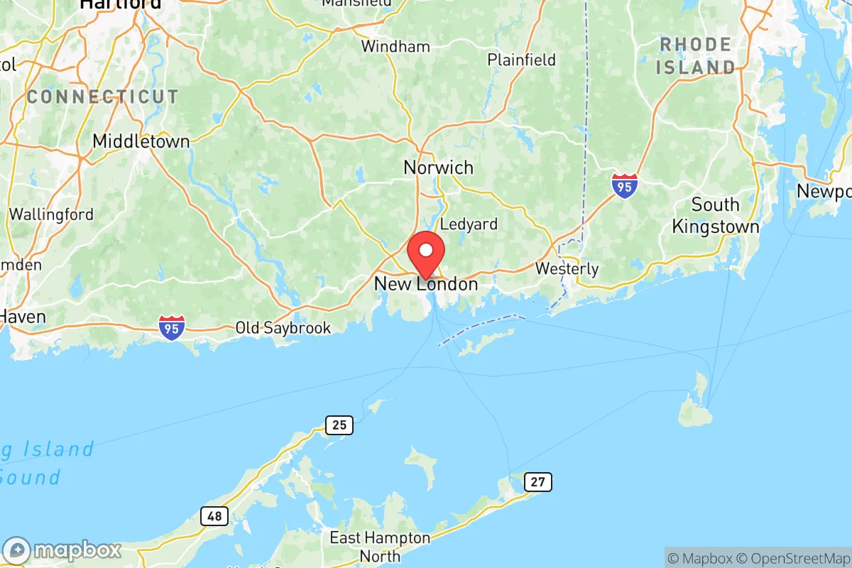
Key Distances
Strategic Assessment Analysis
Southeastern Connecticut Planning Region, anchored by the city of Norwich and the towns of Groton, New London, and Stonington, offers a strategic paradox for the conservative relocator seeking resilience. Its position along the Atlantic coast provides access to maritime resources and a buffer from inland population surges, yet its proximity to critical military and industrial infrastructure creates a unique risk profile. For those prioritizing self-sufficiency and a lower profile, this region demands careful calculus—its natural advantages in water and food security are offset by its role as a target in any major conflict or civil disruption.
Geographic position and natural advantages for long-term stability
The region sits at the mouth of the Thames River, with the Long Island Sound to the south and the rolling hills of eastern Connecticut to the north. This geography offers a mix of coastal access and inland retreat options. The area is roughly equidistant from Boston (90 miles) and New York City (120 miles), placing it outside the immediate blast radius of either metropolis while still within a day's drive of critical supply chains. The Thames River itself is a navigable waterway, providing a potential route for waterborne transport or evacuation if road networks become compromised. The surrounding towns—Ledyard, North Stonington, and Preston—feature dense woodlands and agricultural land, offering natural cover and potential for subsistence farming. The region's moderate climate, with four distinct seasons, supports year-round gardening and livestock, though winters can be harsh enough to require serious heating and food storage planning. The presence of the Pachaug State Forest and numerous smaller preserves gives relocators options for off-grid living or bug-out locations within a 30-minute drive of the more populated coastal areas.
Risks, exposures, and proximity to fallout-relevant landmarks
The single greatest liability in Southeastern Connecticut is the Naval Submarine Base New London in Groton, home to the U.S. Navy's Atlantic submarine fleet. In any major conflict—especially one involving nuclear powers—this base is a top-tier target. The base sits directly on the Thames River, and a strike or sabotage event could render large portions of Groton, New London, and Ledyard uninhabitable for years due to fallout or secondary explosions. Additionally, the Dominion Millstone Power Station in Waterford, a nuclear power plant, presents a dual risk: it could be a target itself, or a conventional attack on the base could trigger a cascading failure at the plant. The region also hosts the General Dynamics Electric Boat shipyard in Groton, a critical defense industrial site that manufactures submarines. This facility is a high-value asset for any adversary and would likely be a priority for disruption. For the conservative relocator, living within a 10-mile radius of these sites means accepting a permanent elevated risk of military action, industrial accidents, or civil unrest tied to defense operations. The coastal location also exposes the region to hurricane storm surges, with the low-lying areas of New London and Stonington vulnerable to flooding from the Sound.
Practical resilience for a relocator: food, water, energy, and defensibility
On the positive side, Southeastern Connecticut has strong fundamentals for long-term survival. Freshwater resources are abundant: the Thames River, the Yantic River, and numerous lakes and ponds—including Gardner Lake and Amos Lake—provide reliable surface water, though treatment will be necessary. The region's groundwater is generally good, with many rural properties having access to private wells. For food, the area has a robust agricultural base, with farms in North Stonington, Preston, and Lebanon producing dairy, vegetables, and poultry. The Stonington Farmers' Market and local CSAs offer immediate access to fresh produce, and the coastal waters provide fishing, clamming, and lobstering opportunities—though these would be compromised in a fallout scenario. Energy infrastructure is a mixed bag: the region is served by Eversource, but grid reliability is average, with occasional storm-related outages. Solar adoption is growing, but many rural homes still rely on oil or propane for heating. For defensibility, the terrain is favorable—wooded hills, narrow roads, and natural chokepoints like the bridges over the Thames River (the Gold Star Memorial Bridge and the Mohegan-Pequot Bridge) could be controlled by a prepared community. However, the population density in the Norwich-New London-Groton corridor (roughly 250,000 people) means that any major event would trigger significant movement, and the bridges would become bottlenecks or targets. The region's political leanings are mixed: New London and Groton lean left, while the rural towns of North Stonington, Preston, and Lebanon are more conservative, offering a cultural fit for those seeking like-minded neighbors.
The overall strategic picture for Southeastern Connecticut is one of high risk balanced by high reward. For the conservative relocator willing to accept the proximity to military and nuclear targets, the region offers genuine advantages in water, food, and defensibility. The key is to locate in the inland towns—Ledyard, North Stonington, or Preston—rather than the coastal cities, and to establish a property with a well, solar capability, and a defensible perimeter. The presence of the submarine base and the shipyard means that this area will never be a quiet backwater; it will always be a node in the national security apparatus. But for those who see the coming disruptions as inevitable and want a base with real resources and a community that values self-reliance, Southeastern Connecticut is a viable option—provided you have a plan for the day the sirens go off.
* Values derived from national, state, county, city and local statistics and may differ in a specific area. Last updated: 2026-05-11T23:02:15.000Z
Narrative content on this page is AI-generated and may contain mistakes. Verify any details that matter before acting on them.
ReloMaps may earn a commission from affiliate links at no extra cost to you.