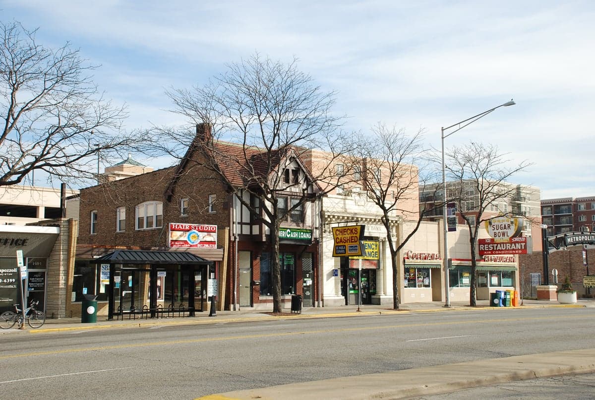
Photo: Wikipedia
Strategic Assessment of Des Plaines, IL
Multiple tactical vulnerabilities. Population density, target proximity, or disaster risk are likely compounding. A retreat property and exit planning is required.
What does the Strategic Assessment tell us?
Our Strategic Assessment grades tactical survivability of an area. Major population centers, military targets, fallout zones, natural disasters, and border exposure all drive risk — lower exposure means a more defensible position in a crisis.
This is heavily inspired by Joel Skousen's Strategic Relocation book. Highly recommended you checkout the book ($)What does this tell us?
Our Strategic Assessment grades tactical survivability of an area. Major population centers, military targets, fallout zones, natural disasters, and border exposure all drive risk — lower exposure means a more defensible position in a crisis.
This is heavily inspired by Joel Skousen's Strategic Relocation book. Highly recommended you checkout the book ($)Strategic Pillars

Key Distances
Regional Safe Places
Below is our recommended "safe zones" in Illinois and the surrounding area based on our strategic heuristics. For most people, it's unrealistic to live in a “safe zone” full-time due to work, family or other personal reasons. They tend to be more rural. However, many of these areas are perfect for second homes and retreat properties that double as a vacation home or even a short-term rental.
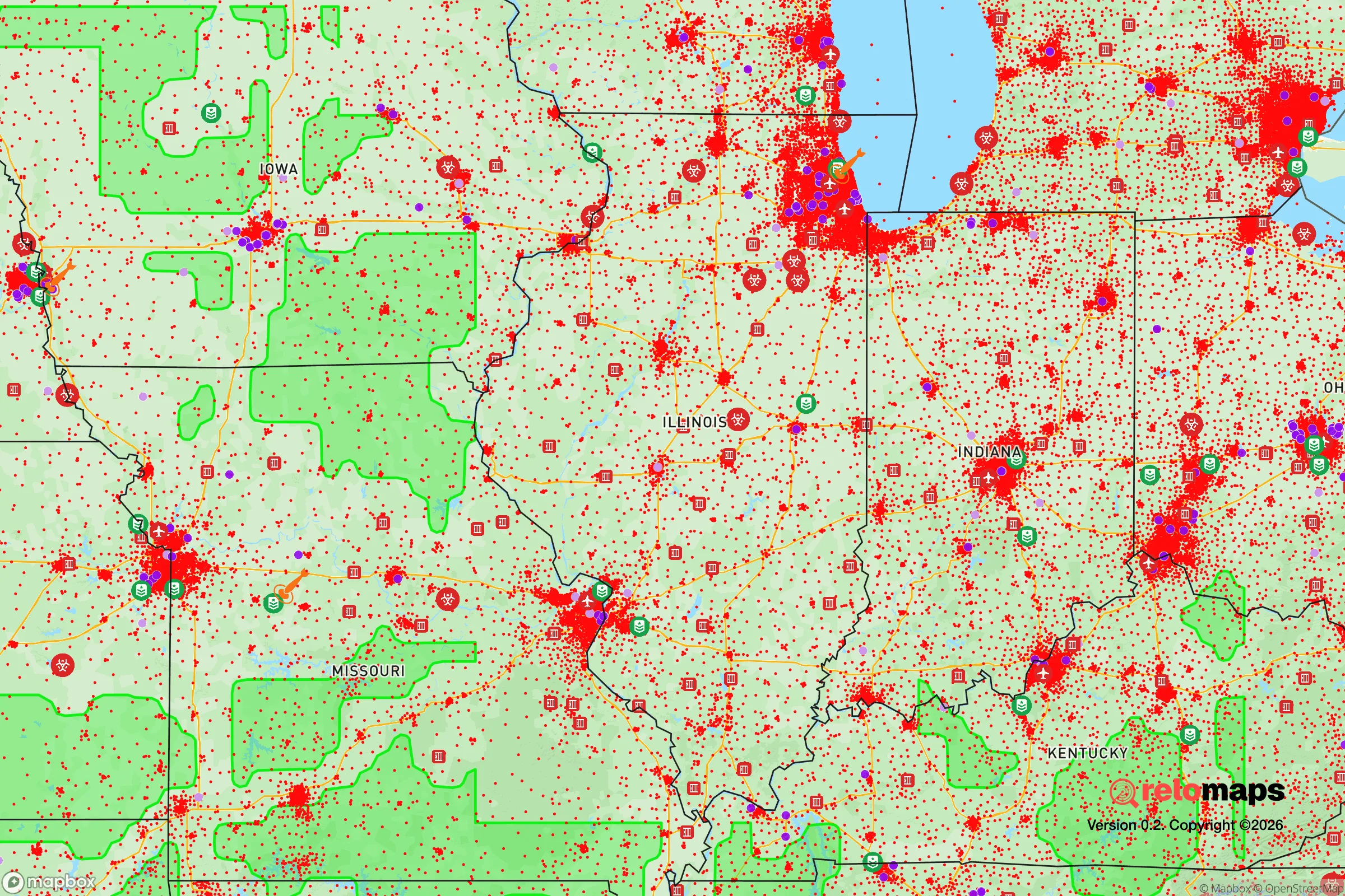
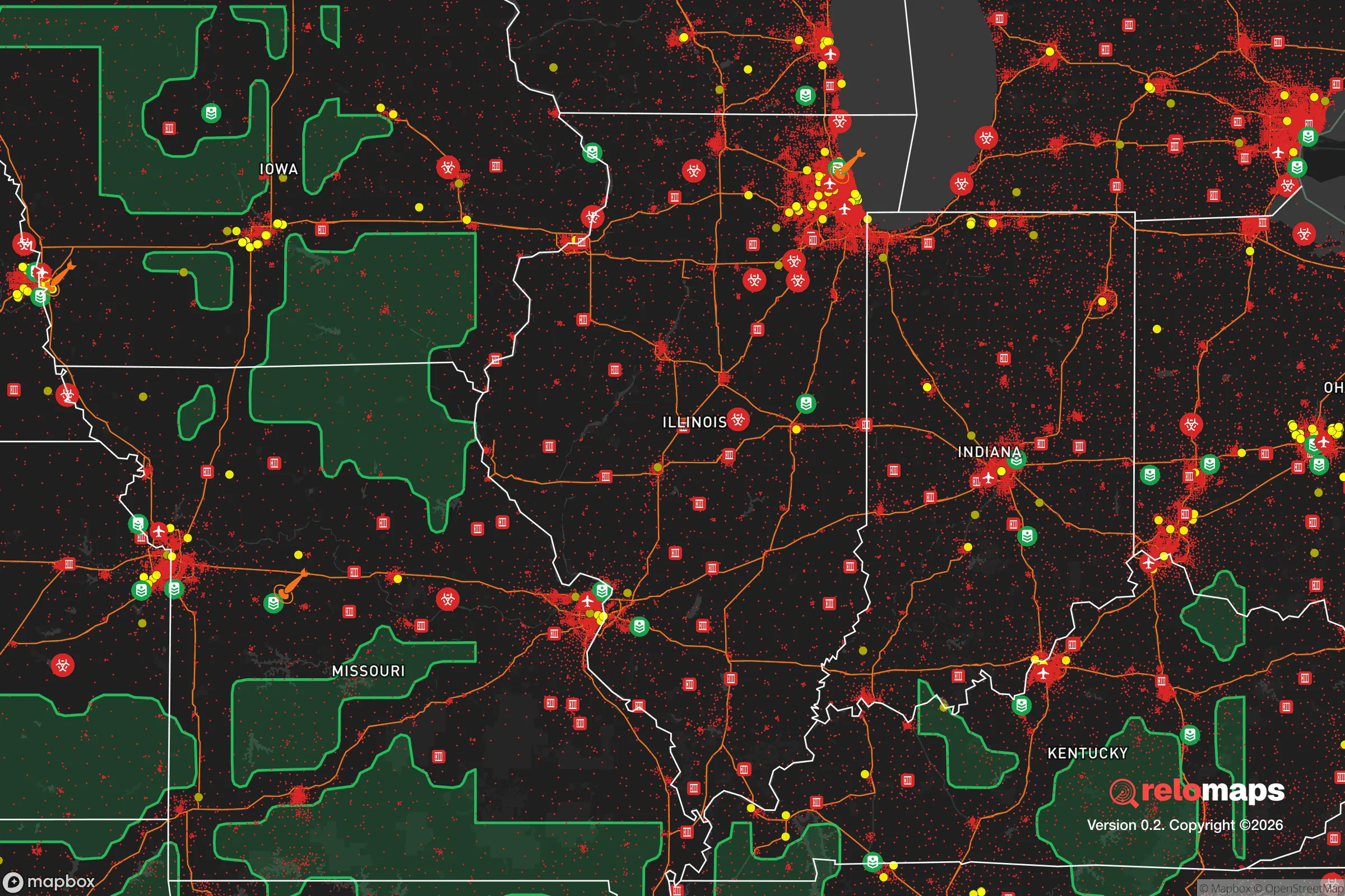
Important Note: For informational purposes only. This does not mean nothing bad ever happens in the green zones. Please use common sense. This is based on public data and modeled with AI. We tried to take a conservative approach but mistakes happen. We update this regularly as new information becomes available.
Solar Generator Recommendations
Backup power matters more here than in safer locations. We've picked three solar generators across budgets and capacity tiers — start with the budget unit if you only need a few essentials, or step up if you want to run a fridge and HVAC for days at a time.

Jackery Portable Power Station Explorer 300
Budget OptionPower on the Go: Weighing only 11 lbs, it's convenient to set up and store with book-sized foldable solar panels

BLUETTI Portable Power Station AC180
Designed for both indoor and outdoor scenarios, AC180 is highly capable as it has a robost capacity and continuous output power.

EF ECOFLOW DELTA Pro Ultra Power Station
Upgraded PickEcoFlow DELTA Pro Ultra is a whole-home energy system designed to grow with your family. Integrated with the Smart Home Panel 2, it scales to meet your evolving energy needs — keeping your home powered, intelligent, and secure through every stage of life.
We earn a commission, at no additional cost to you.
Strategic Assessment Analysis
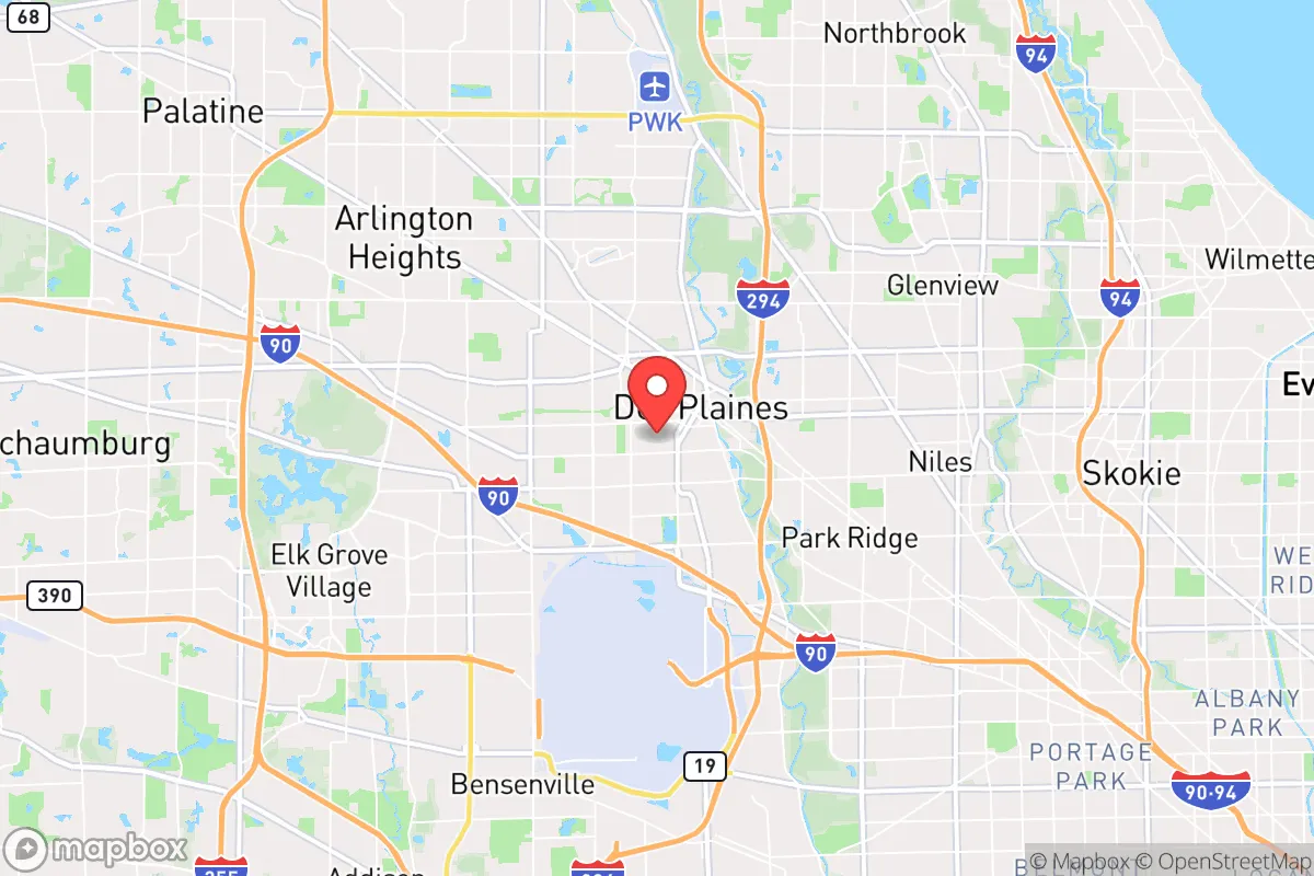
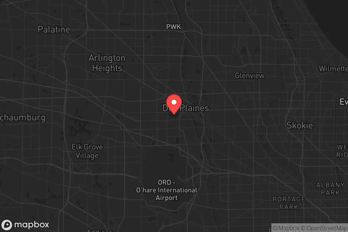
Des Plaines, Illinois, sits in a precarious strategic position that demands serious evaluation for anyone prioritizing long-term resilience. Its location just 17 miles northwest of Chicago offers immediate access to major infrastructure, but that proximity also places it squarely within the blast and fallout shadow of one of the nation's largest population centers. For a relocator focused on surviving civic unrest, mass casualty events, or large-scale disasters, Des Plaines presents a mixed bag: it has some natural advantages in water and transport, but its core vulnerability is being too close to a high-value target that could become a focal point for chaos.
Geographic position and natural advantages for long-term survival
Des Plaines sits on the Des Plaines River, a tributary of the Illinois River, which feeds into the Mississippi. This river system provides a natural water source and a potential evacuation corridor by boat or foot if roads become impassable. The area is part of the Chicago metropolitan region's glacial plain, meaning the terrain is flat with minimal natural cover—good for agriculture but poor for defensible positions. The city's elevation is roughly 640 feet above sea level, with no significant hills or ridges to offer observation points or natural barriers. The surrounding Cook County forest preserves, such as the Des Plaines River Trail and the nearby Busse Woods, offer some wooded cover and wildlife for foraging, but these are fragmented by suburban development and highways. The region's four-season climate means harsh winters can be a double-edged sword: they slow movement and reduce visibility for adversaries, but they also strain heating, food storage, and transportation. The proximity to Lake Michigan, about 12 miles east, provides a massive freshwater reservoir, but accessing it during a crisis would require crossing dense suburban and urban zones that could be contested.
Risks, exposures, and proximity to fallout-relevant landmarks
The single greatest strategic liability of Des Plaines is its 17-mile proximity to downtown Chicago, a city with over 2.7 million people and a concentration of critical infrastructure—O'Hare International Airport is just 5 miles south. In a mass casualty event or nuclear scenario, Des Plaines lies within the moderate-to-heavy fallout zone depending on wind direction. The city itself is home to roughly 58,000 residents, but it is surrounded by a dense suburban matrix of over 2 million people within a 20-mile radius. This population density means that any breakdown in law and order—whether from economic collapse, civil unrest, or a pandemic—would create a massive refugee flow from Chicago proper. The major highways I-90, I-294, and US-14 all run through or near Des Plaines, making them both evacuation routes and chokepoints for looters or hostile groups. The city also sits near the Union Pacific Northwest rail line, which could be a target for sabotage or a vector for disease spread. Additionally, the Des Plaines River is prone to flooding, with the city experiencing major flood events in 2008, 2013, and 2020, which could compound a disaster scenario by cutting off road access and contaminating water supplies.
Practical resilience for a relocator: food, water, energy, and defensibility
For a relocator looking to hunker down, Des Plaines offers some practical assets but significant gaps. The city has a municipal water system drawing from Lake Michigan via the Chicago water system, but that infrastructure is vulnerable to contamination or disruption. A backup plan would require deep well access or rainwater catchment, which is limited in this suburban environment—most homes are on municipal water, and drilling a private well is expensive and often prohibited by zoning. Food storage is feasible in single-family homes with basements, but the typical suburban lot size (around 0.15 acres) leaves little room for large-scale gardening or livestock. The city's energy grid is tied to the regional PJM Interconnection, which has faced reliability concerns during extreme weather (e.g., the 2021 polar vortex caused rolling blackouts). Solar panels are an option, but many homeowners associations in Des Plaines restrict their installation, and the region's cloudy winters reduce output. Defensibility is poor: the flat, open layout with grid-pattern streets and minimal natural barriers makes it easy for hostile groups to approach from multiple directions. The nearest hardened retreat would be rural areas west of the Fox River, about 30-40 miles away, but getting there would require navigating congested highways. For those willing to invest, a well-stocked basement with a water filtration system, a propane generator, and a cache of non-perishable food could sustain a family for 30-60 days, but long-term self-sufficiency is unrealistic in this environment.
The overall strategic picture for Des Plaines is one of calculated risk. It is not a survivalist's paradise—far from it. The city's advantages are its water access, transport links, and proximity to medical and supply hubs, but these are outweighed by the dangers of being a satellite of a major urban center. For a conservative-leaning relocator who values community and preparedness, Des Plaines might work as a temporary staging point if you have a clear exit plan to rural Illinois, Wisconsin, or Indiana. But as a permanent retreat, it demands constant vigilance: you are betting that the chaos in Chicago stays contained, and that the suburbs remain a buffer rather than a battleground. If you are serious about long-term resilience, look farther west—places like DeKalb, Dixon, or even the Driftless Area in northwestern Illinois offer lower population density, better defensible terrain, and fewer fallout risks. Des Plaines is a strategic compromise, not a solution.
* Values derived from national, state, county, city and local statistics and may differ in a specific area. Last updated: 2026-04-23T09:59:48.000Z
Narrative content on this page is AI-generated and may contain mistakes. Verify any details that matter before acting on them.
ReloMaps may earn a commission from affiliate links at no extra cost to you.