Photo: Wikipedia
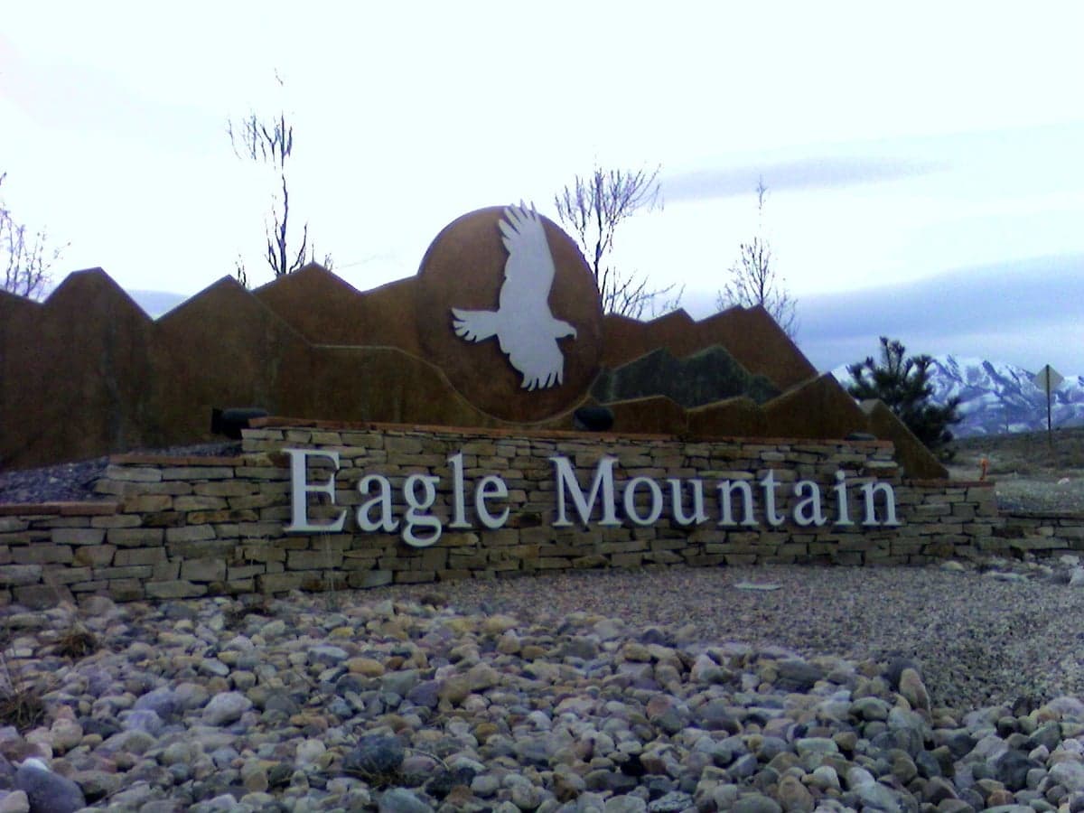
Strategic Assessment of Eagle Mountain, UT
Workable tactical position. Some exposure to population density or targets, but generally defensible in a crisis.
What does the Strategic Assessment tell us?
Our Strategic Assessment grades tactical survivability of an area. Major population centers, military targets, fallout zones, natural disasters, and border exposure all drive risk — lower exposure means a more defensible position in a crisis.
This is heavily inspired by Joel Skousen's Strategic Relocation book. Highly recommended you checkout the book ($)What does this tell us?
Our Strategic Assessment grades tactical survivability of an area. Major population centers, military targets, fallout zones, natural disasters, and border exposure all drive risk — lower exposure means a more defensible position in a crisis.
This is heavily inspired by Joel Skousen's Strategic Relocation book. Highly recommended you checkout the book ($)Strategic Pillars

Key Distances
Regional Safe Places
Below is our recommended "safe zones" in Utah and the surrounding area based on our strategic heuristics. For most people, it's unrealistic to live in a “safe zone” full-time due to work, family or other personal reasons. They tend to be more rural. However, many of these areas are perfect for second homes and retreat properties that double as a vacation home or even a short-term rental.


Important Note: For informational purposes only. This does not mean nothing bad ever happens in the green zones. Please use common sense. This is based on public data and modeled with AI. We tried to take a conservative approach but mistakes happen. We update this regularly as new information becomes available.
Solar Generator Recommendations
Backup power matters more here than in safer locations. We've picked three solar generators across budgets and capacity tiers — start with the budget unit if you only need a few essentials, or step up if you want to run a fridge and HVAC for days at a time.

Jackery Portable Power Station Explorer 300
Budget OptionPower on the Go: Weighing only 11 lbs, it's convenient to set up and store with book-sized foldable solar panels

BLUETTI Portable Power Station AC180
Designed for both indoor and outdoor scenarios, AC180 is highly capable as it has a robost capacity and continuous output power.

EF ECOFLOW DELTA Pro Ultra Power Station
Upgraded PickEcoFlow DELTA Pro Ultra is a whole-home energy system designed to grow with your family. Integrated with the Smart Home Panel 2, it scales to meet your evolving energy needs — keeping your home powered, intelligent, and secure through every stage of life.
We earn a commission, at no additional cost to you.
Strategic Assessment Analysis
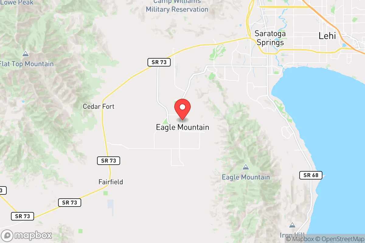
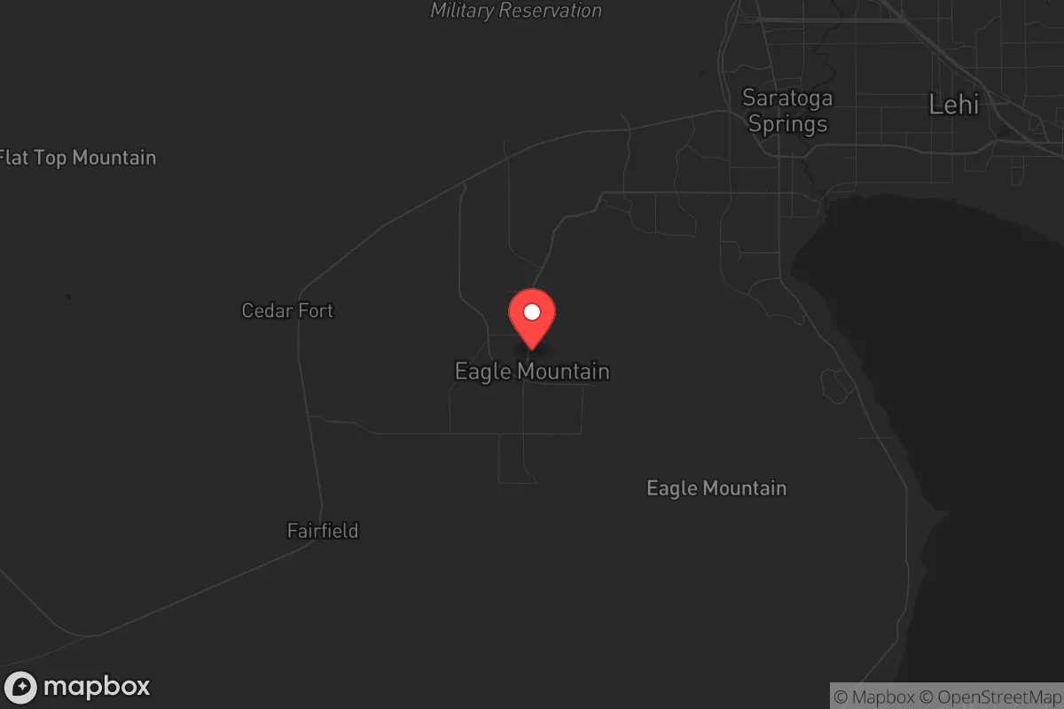
Eagle Mountain, Utah, sits in a unique strategic pocket that offers genuine resilience advantages for those prioritizing self-sufficiency and security. Its location in Utah County, roughly 40 miles southwest of Salt Lake City, places it far enough from major urban centers to avoid the immediate fallout of a mass casualty event or civil unrest, yet close enough to access critical resources if pre-planned. The city’s rapid growth—from under 3,000 in 2000 to over 60,000 today—reflects a deliberate migration of families and individuals seeking space, lower crime, and a community ethos that leans heavily conservative and self-reliant. For a relocator with a prepper mindset, Eagle Mountain’s combination of geographic isolation, natural barriers, and a politically aligned population makes it a serious contender for a long-term strategic base.
Geographic position and natural defensive advantages
Eagle Mountain’s geography is its strongest card. The city is nestled against the eastern slopes of the Lake Mountains, with the Oquirrh Mountains to the west and Utah Lake to the south. This creates a natural funnel: access is limited to a handful of roads, primarily State Route 73 and the soon-to-be-completed Mountain View Corridor. In a scenario where roadblocks or checkpoints become necessary—whether from government overreach or roving groups—these chokepoints are defensible. The surrounding terrain is arid high desert, which limits large-scale movement on foot and makes surveillance of the area easier for those who know the land. The elevation (roughly 4,900 feet) also provides a vantage point over the Salt Lake Valley, giving residents early warning of any large-scale movement from the urban core. For a survivalist, this is not just scenery; it’s a tactical buffer.
Risks, exposures, and proximity to fallout-relevant landmarks
No location is without vulnerabilities, and Eagle Mountain has a few that demand attention. The most immediate risk is its proximity to the Wasatch Fault line, which runs through the region. A major earthquake (6.5+ magnitude) could disrupt water, power, and road access for weeks—something the area’s rapid infrastructure build-out hasn’t fully accounted for. Additionally, the city lies within 50 miles of Hill Air Force Base (a primary nuclear target) and the Tooele Army Depot (chemical weapons storage). While these are not direct fallout zones for Eagle Mountain itself, prevailing winds from the west could carry contamination in a worst-case scenario. The nearby Utah Lake is also a concern: it’s shallow, prone to algal blooms, and not a reliable long-term water source without filtration. For the strategic relocator, these risks are manageable with proper planning—stockpiling water, having a bug-out route east toward the Uinta Mountains, and maintaining a low profile—but they cannot be ignored.
Practical resilience for a relocator: food, water, energy, and defensibility
Eagle Mountain’s practical resilience is where it shines for the prepared individual. Water is the first concern: the city draws from groundwater wells and the Central Utah Project, but a prolonged grid-down scenario would strain municipal supplies. Many newer homes are on large lots (0.25–1 acre), allowing for rainwater catchment and private well drilling—though well permits are becoming harder to get. The area’s growing number of hobby farms and backyard gardens is a positive sign; the soil is workable with amendment, and the growing season (April to October) supports staples like potatoes, beans, and squash. For energy, solar is a no-brainer: Utah averages over 300 sunny days per year, and net metering policies are favorable. A modest off-grid solar setup with battery storage can power a home’s essentials indefinitely. Defensibility is aided by the community’s culture: Eagle Mountain has a high rate of gun ownership, a strong LDS (Mormon) population with established emergency preparedness programs, and a general distrust of federal overreach. Neighborhood watch groups and church-based mutual aid networks are active. For a single individual or family, this means you’re not going it alone—you’re plugging into a network of like-minded people who already stockpile food, train with firearms, and share resources.
Overall strategic picture for the conservative relocator
Eagle Mountain offers a rare combination of isolation, community alignment, and practical infrastructure for the survivalist-minded relocator. It’s not a bunker—it’s a working base. The risks from seismic activity and proximity to military targets are real but manageable with basic preps: a 90-day food supply, a water filtration system, and a vehicle capable of navigating backcountry routes. The city’s conservative political climate means local government is generally pro-Second Amendment, low-tax, and resistant to overreaching mandates—a stark contrast to the coastal urban centers many are fleeing. For those willing to invest in land, solar, and community ties, Eagle Mountain provides a defensible, self-sufficient lifestyle that can weather both natural disasters and the broader societal breakdown many see on the horizon. It’s not perfect, but in a world of increasing uncertainty, it’s one of the better bets in the Intermountain West.
* Values derived from national, state, county, city and local statistics and may differ in a specific area. Last updated: 2026-05-03T20:37:11.000Z
Narrative content on this page is AI-generated and may contain mistakes. Verify any details that matter before acting on them.
ReloMaps may earn a commission from affiliate links at no extra cost to you.