Photo: Wikipedia
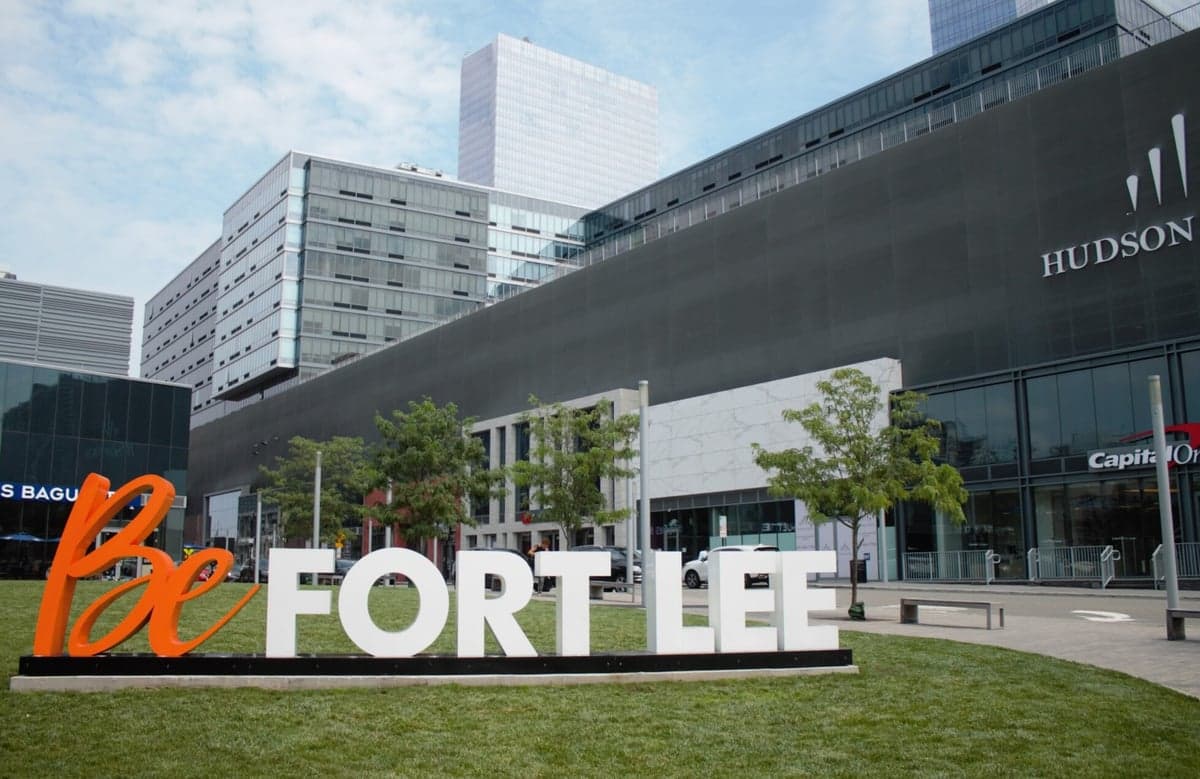
Strategic Assessment of Fort Lee, NJ
High tactical risk. This location is likely close to major population centers, strategic targets, or sits in a high-disaster corridor. A retreat property and careful exit planning is required.
What does the Strategic Assessment tell us?
Our Strategic Assessment grades tactical survivability of an area. Major population centers, military targets, fallout zones, natural disasters, and border exposure all drive risk — lower exposure means a more defensible position in a crisis.
This is heavily inspired by Joel Skousen's Strategic Relocation book. Highly recommended you checkout the book ($)What does this tell us?
Our Strategic Assessment grades tactical survivability of an area. Major population centers, military targets, fallout zones, natural disasters, and border exposure all drive risk — lower exposure means a more defensible position in a crisis.
This is heavily inspired by Joel Skousen's Strategic Relocation book. Highly recommended you checkout the book ($)Strategic Pillars

Key Distances
Regional Safe Places
Below is our recommended "safe zones" in New Jersey and the surrounding area based on our strategic heuristics. For most people, it's unrealistic to live in a “safe zone” full-time due to work, family or other personal reasons. They tend to be more rural. However, many of these areas are perfect for second homes and retreat properties that double as a vacation home or even a short-term rental.


Important Note: For informational purposes only. This does not mean nothing bad ever happens in the green zones. Please use common sense. This is based on public data and modeled with AI. We tried to take a conservative approach but mistakes happen. We update this regularly as new information becomes available.
Solar Generator Recommendations
Backup power matters more here than in safer locations. We've picked three solar generators across budgets and capacity tiers — start with the budget unit if you only need a few essentials, or step up if you want to run a fridge and HVAC for days at a time.

Jackery Portable Power Station Explorer 300
Budget OptionPower on the Go: Weighing only 11 lbs, it's convenient to set up and store with book-sized foldable solar panels

BLUETTI Portable Power Station AC180
Designed for both indoor and outdoor scenarios, AC180 is highly capable as it has a robost capacity and continuous output power.

EF ECOFLOW DELTA Pro Ultra Power Station
Upgraded PickEcoFlow DELTA Pro Ultra is a whole-home energy system designed to grow with your family. Integrated with the Smart Home Panel 2, it scales to meet your evolving energy needs — keeping your home powered, intelligent, and secure through every stage of life.
We earn a commission, at no additional cost to you.
Strategic Assessment Analysis
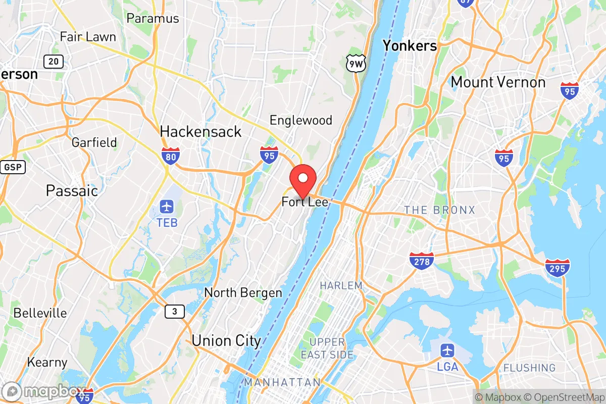
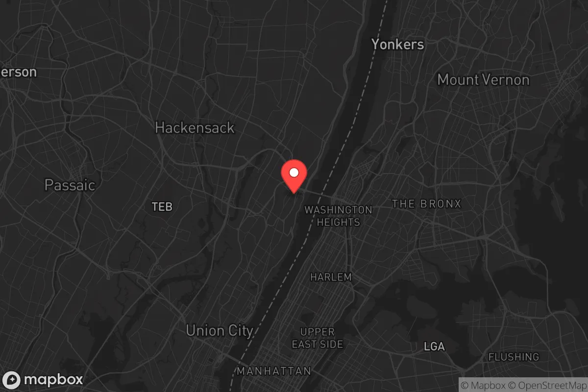
Fort Lee, New Jersey, sits in a precarious strategic position that demands a clear-eyed assessment from anyone prioritizing resilience and self-reliance. While its location at the western terminus of the George Washington Bridge offers immediate access to Manhattan, that same proximity to a major urban center and critical infrastructure makes it a high-risk zone for anyone planning to weather civic unrest, mass casualty events, or large-scale disasters. For a conservative-leaning relocator focused on preparedness, Fort Lee presents a mix of tactical advantages and severe vulnerabilities that require careful weighing before committing to the area.
Geographic position and natural advantages for a prepared relocator
Fort Lee’s geography is defined by the Palisades, a steep cliff line that rises roughly 200 to 260 feet above the Hudson River. This natural elevation provides a significant defensive advantage: the high ground offers clear sightlines across the river into Manhattan and down the Hudson Valley, which could be critical for monitoring movement or threats during a breakdown of order. The Palisades also create a natural barrier that slows approach from the east, forcing any ground-based incursion from New York City to funnel through a limited number of roadways—primarily the George Washington Bridge and a handful of local streets. This chokepoint dynamic is a double-edged sword, but for a prepared individual, it means the area can be more easily observed and, if necessary, defended than a flat, open suburb. The underlying geology is solid basalt and diabase, which offers stable foundations for any underground storage or shelter construction, and the elevation reduces flood risk from storm surges or sea-level rise compared to low-lying communities like Hoboken or Jersey City. Additionally, Fort Lee’s position along the Hudson River provides a potential water source and a natural transportation corridor for evacuation or resupply by boat, assuming one has the skills and equipment to navigate it safely.
Risks, exposures, and proximity to fallout-relevant landmarks
The most glaring vulnerability of Fort Lee is its direct adjacency to New York City, a primary target for any large-scale attack, whether nuclear, biological, or conventional. The George Washington Bridge is one of the busiest bridges in the world, carrying over 100 million vehicles annually, and it is a critical chokepoint that would be a target for sabotage or a focal point for mass panic during an evacuation. In the event of a nuclear detonation in Manhattan, Fort Lee lies within the moderate-to-severe fallout zone depending on wind direction, with the Palisades offering some shielding but not enough to guarantee safety. The area is also within a few miles of the Lincoln Tunnel and the Port Authority Bus Terminal, both high-value infrastructure nodes that could be targeted or become chaotic during a crisis. Furthermore, Fort Lee is situated near several potential secondary targets: the Meadowlands Sports Complex (a mass gathering site), Teterboro Airport (a general aviation hub that could be used for emergency logistics or targeted), and the numerous chemical and industrial facilities along the New Jersey Turnpike corridor. For a prepper, the density of population in Bergen County—over 950,000 residents—means that any major event would trigger a massive, disorderly outflow of people, clogging the few escape routes like Route 4, Route 46, and the Palisades Interstate Parkway. The risk of civil unrest is also elevated given the area’s proximity to urban centers where political tensions could boil over, and the local government’s alignment with progressive policies may not align with a conservative relocator’s preferences for self-defense and minimal regulation.
Practical resilience for a relocator: food, water, energy, and defensibility
When assessing day-to-day preparedness, Fort Lee offers a mixed bag. Water access is a relative strength: the Hudson River is a massive, if polluted, water source that can be treated with proper filtration and purification systems. However, the municipal water supply relies on the Hackensack River and reservoirs that could be compromised by infrastructure failure or contamination. A prepper should plan for at least two weeks of stored water per person, as resupply during a crisis would be unreliable. Food security is a significant weakness. Fort Lee is a dense suburban borough with limited agricultural land; the nearest farmland is in Bergen County’s northern reaches or across the state line in Rockland County, New York. Local grocery stores and restaurants would be stripped within hours of a major event, and the area’s reliance on just-in-time delivery from New Jersey’s distribution hubs means that supply chains would collapse quickly. For energy, the grid is typical of the Northeast—aging, vulnerable to storms, and subject to rolling blackouts during peak demand. Solar panels are feasible on many rooftops, but the Palisades’ tree cover and north-facing slopes can reduce efficiency. Natural gas is widely available, but a propane backup generator or a wood-burning stove is a more resilient option given the area’s cold winters. Defensibility is the most complex factor. Fort Lee’s dense, multi-family housing stock—much of it high-rise apartments and condos—makes individual property defense difficult. A single-family home with a yard and a basement is a better bet, but such properties are expensive and scarce. The borough’s street grid is a mix of narrow, winding roads and major arteries, which can be easily blocked by abandoned vehicles or debris. On the positive side, the local police force is well-funded and professional, but during a widespread breakdown, they would be overwhelmed. For a relocator serious about preparedness, the ideal setup would be a home on the western side of the Palisades, away from the bridge approaches, with a basement shelter, a well (if possible), and a clear plan for egress via secondary roads toward the less-dense areas of Bergen or Passaic counties.
The overall strategic picture for Fort Lee is one of high risk with limited reward for a survivalist-minded relocator. Its proximity to New York City and critical infrastructure makes it a likely zone of chaos during any major event, and the dense population, limited food production, and challenging defensibility outweigh the natural advantages of elevation and river access. For a conservative individual or family seeking a location that balances preparedness with a reasonable quality of life, Fort Lee is best viewed as a temporary staging area or a place to monitor from a distance rather than a long-term redoubt. If you are already established there, the smart move is to have a bug-out plan that heads west or north into less populated areas of New Jersey or New York State within the first few hours of any crisis. If you are considering a move, look instead toward the rural towns of Sussex County or the Poconos in Pennsylvania, where the population density is lower, the land is more defensible, and the political climate is more aligned with self-reliance and traditional values. Fort Lee’s location is strategically interesting, but for a prepper, it is a liability dressed in convenience.
* Values derived from national, state, county, city and local statistics and may differ in a specific area. Last updated: 2026-04-30T00:27:51.000Z
Narrative content on this page is AI-generated and may contain mistakes. Verify any details that matter before acting on them.
ReloMaps may earn a commission from affiliate links at no extra cost to you.