Photo: Wikipedia
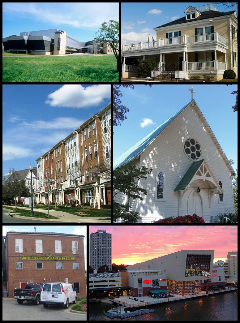
Strategic Assessment of Gaithersburg, MD
Multiple tactical vulnerabilities. Population density, target proximity, or disaster risk are likely compounding. A retreat property and exit planning is required.
What does the Strategic Assessment tell us?
Our Strategic Assessment grades tactical survivability of an area. Major population centers, military targets, fallout zones, natural disasters, and border exposure all drive risk — lower exposure means a more defensible position in a crisis.
This is heavily inspired by Joel Skousen's Strategic Relocation book. Highly recommended you checkout the book ($)What does this tell us?
Our Strategic Assessment grades tactical survivability of an area. Major population centers, military targets, fallout zones, natural disasters, and border exposure all drive risk — lower exposure means a more defensible position in a crisis.
This is heavily inspired by Joel Skousen's Strategic Relocation book. Highly recommended you checkout the book ($)Strategic Pillars

Key Distances
Regional Safe Places
Below is our recommended "safe zones" in Maryland and the surrounding area based on our strategic heuristics. For most people, it's unrealistic to live in a “safe zone” full-time due to work, family or other personal reasons. They tend to be more rural. However, many of these areas are perfect for second homes and retreat properties that double as a vacation home or even a short-term rental.


Important Note: For informational purposes only. This does not mean nothing bad ever happens in the green zones. Please use common sense. This is based on public data and modeled with AI. We tried to take a conservative approach but mistakes happen. We update this regularly as new information becomes available.
Solar Generator Recommendations
Backup power matters more here than in safer locations. We've picked three solar generators across budgets and capacity tiers — start with the budget unit if you only need a few essentials, or step up if you want to run a fridge and HVAC for days at a time.

Jackery Portable Power Station Explorer 300
Budget OptionPower on the Go: Weighing only 11 lbs, it's convenient to set up and store with book-sized foldable solar panels

BLUETTI Portable Power Station AC180
Designed for both indoor and outdoor scenarios, AC180 is highly capable as it has a robost capacity and continuous output power.

EF ECOFLOW DELTA Pro Ultra Power Station
Upgraded PickEcoFlow DELTA Pro Ultra is a whole-home energy system designed to grow with your family. Integrated with the Smart Home Panel 2, it scales to meet your evolving energy needs — keeping your home powered, intelligent, and secure through every stage of life.
We earn a commission, at no additional cost to you.
Strategic Assessment Analysis
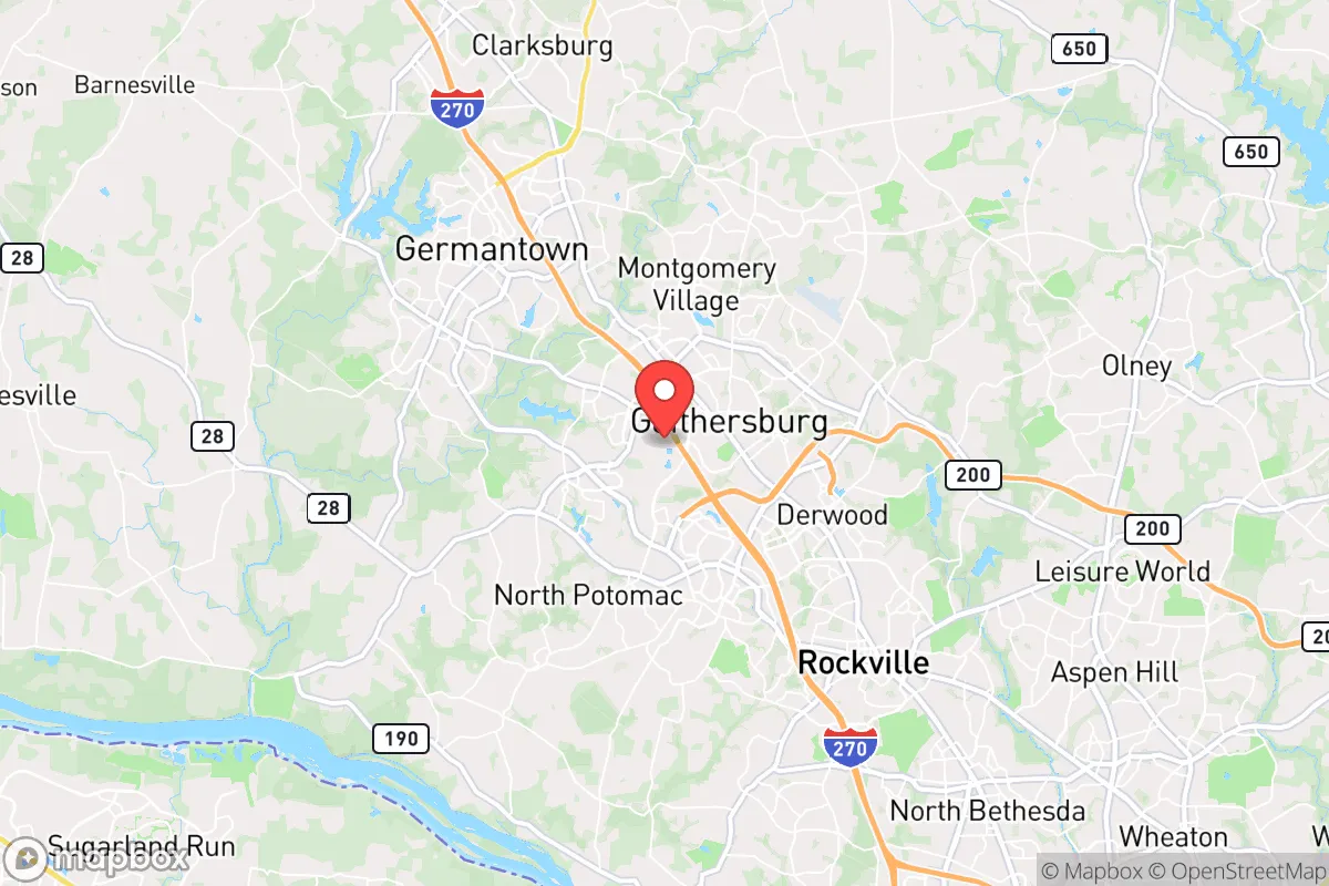
Gaithersburg, Maryland, presents a complex strategic picture for the conservative prepper. On one hand, its position within the I-270 technology corridor offers economic resilience and access to resources; on the other, its proximity to Washington, D.C., and the dense suburban sprawl of Montgomery County creates significant vulnerabilities that demand careful consideration. For a relocator prioritizing self-sufficiency and security, Gaithersburg is less a fortress and more a forward operating base — viable only with a clear-eyed understanding of its risks and a robust plan for mitigation.
Geographic position and natural advantages for a strategic relocation
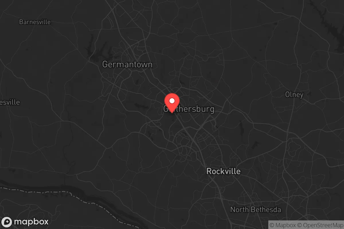
Gaithersburg sits roughly 25 miles northwest of the White House, straddling the fall line where the Piedmont plateau meets the Atlantic coastal plain. This location provides a mix of terrain: rolling hills, wooded areas, and access to the Potomac River watershed via Seneca Creek and the Great Seneca Stream Valley. The area’s natural advantages include relatively fertile soil for small-scale gardening, a moderate climate with four distinct seasons, and a water supply that, while municipal, is backed by the Potomac River and local reservoirs. The presence of the Agricultural Reserve — a 93,000-acre swath of protected farmland in northern and western Montgomery County — is a genuine asset. It buffers Gaithersburg from the densest development and offers potential for local food sourcing, though it’s worth noting that much of that land is held by large operations, not small homesteads. For a relocator, the key takeaway is that Gaithersburg’s geography provides decent natural cover and water access, but it’s not remote. You’re never more than a 30-minute drive from a major highway or a densely populated suburb, which cuts both ways for security and supply runs.
Risks, exposures, and proximity to fallout-relevant landmarks
This is where the analysis gets serious. Gaithersburg’s greatest strategic weakness is its proximity to high-value targets in the D.C. metro area. The I-270 corridor is home to major federal contractors (Lockheed Martin, Boeing, and dozens of defense and intelligence firms), as well as the National Institutes of Health in Bethesda and the Food and Drug Administration in Silver Spring. In a scenario involving civil unrest, mass casualty events, or a coordinated attack, this corridor becomes a primary chokepoint and likely target. The risk isn’t just direct blast or fallout — it’s the cascading effects: road closures, mass evacuations, and the influx of desperate populations from D.C. and Baltimore (about 40 miles northeast). Montgomery County’s population density of roughly 2,100 people per square mile means that even a localized event could trigger gridlock on I-270, MD-355, and MD-124. Additionally, the county’s progressive governance — with strict zoning, high taxes, and a heavy reliance on centralized infrastructure — makes it less resilient in a prolonged crisis. For the prepper, the calculus is clear: Gaithersburg offers economic opportunity and access to medical resources, but it sits in a high-risk zone that demands a layered defense plan, including multiple egress routes and a bug-out location further west or north.
Practical resilience for a relocator: food, water, energy, and defensibility
Let’s break down the practicalities. Water: Gaithersburg’s municipal water comes from the Potomac River, treated at the Washington Aqueduct and local plants. In a grid-down scenario, this supply is vulnerable to contamination and pressure loss. A prepper should plan for at least two weeks of stored water per person, plus a Berkey or similar gravity filter. Rainwater collection is legal in Maryland but regulated — you’ll need a permit for systems over 5,000 gallons. Food: The Agricultural Reserve is a plus, but local farmers’ markets and CSAs are seasonal. For long-term storage, you’ll need to rely on bulk purchases from Costco or Sam’s Club in Germantown or Frederick. Gardening is feasible on a quarter-acre lot, but Montgomery County’s deer population is dense, so fencing is mandatory. Energy: Solar is viable — Gaithersburg averages about 4.5 peak sun hours per day — but the county’s permitting process can be slow and costly. A backup generator running on propane or natural gas is more practical for immediate needs, though natural gas lines are vulnerable to earthquakes (low risk here) and sabotage. Defensibility: Most homes in Gaithersburg are in subdivisions with open layouts and multiple entry points. A rural property with a long driveway and tree cover is rare and expensive. For a single individual or family, the best approach is to harden a specific room (safe room) and maintain a low profile. Neighborhood watch programs are common, but in a crisis, trust is earned through demonstrated competence, not HOA meetings. The bottom line: Gaithersburg can support a moderate level of preparedness, but it’s not a bug-out location. It’s a place to build skills and stockpile, with a plan to relocate if the situation deteriorates.
The overall strategic picture for Gaithersburg is one of calculated trade-offs. It offers a strong job market, decent infrastructure, and proximity to federal resources that could be useful in a slow-burn crisis (like economic collapse or pandemic). But its location in the D.C. orbit makes it a high-risk area for sudden, violent events. For the conservative prepper, the smart play is to treat Gaithersburg as a base of operations — not a final destination. Invest in a reliable vehicle, build a network of like-minded individuals in the surrounding rural areas (Frederick County, Carroll County, or even western Virginia), and maintain a low profile. The area’s resilience is real but conditional: it works as long as you’re prepared to leave when the calculus shifts. If you’re looking for a place to dig in and ride out the storm, look further west. But if you need to stay close to the action for work or family, Gaithersburg can work — with eyes wide open and a full pantry.
* Values derived from national, state, county, city and local statistics and may differ in a specific area. Last updated: 2026-04-22T02:59:45.000Z
Narrative content on this page is AI-generated and may contain mistakes. Verify any details that matter before acting on them.
ReloMaps may earn a commission from affiliate links at no extra cost to you.