Photo: Wikipedia
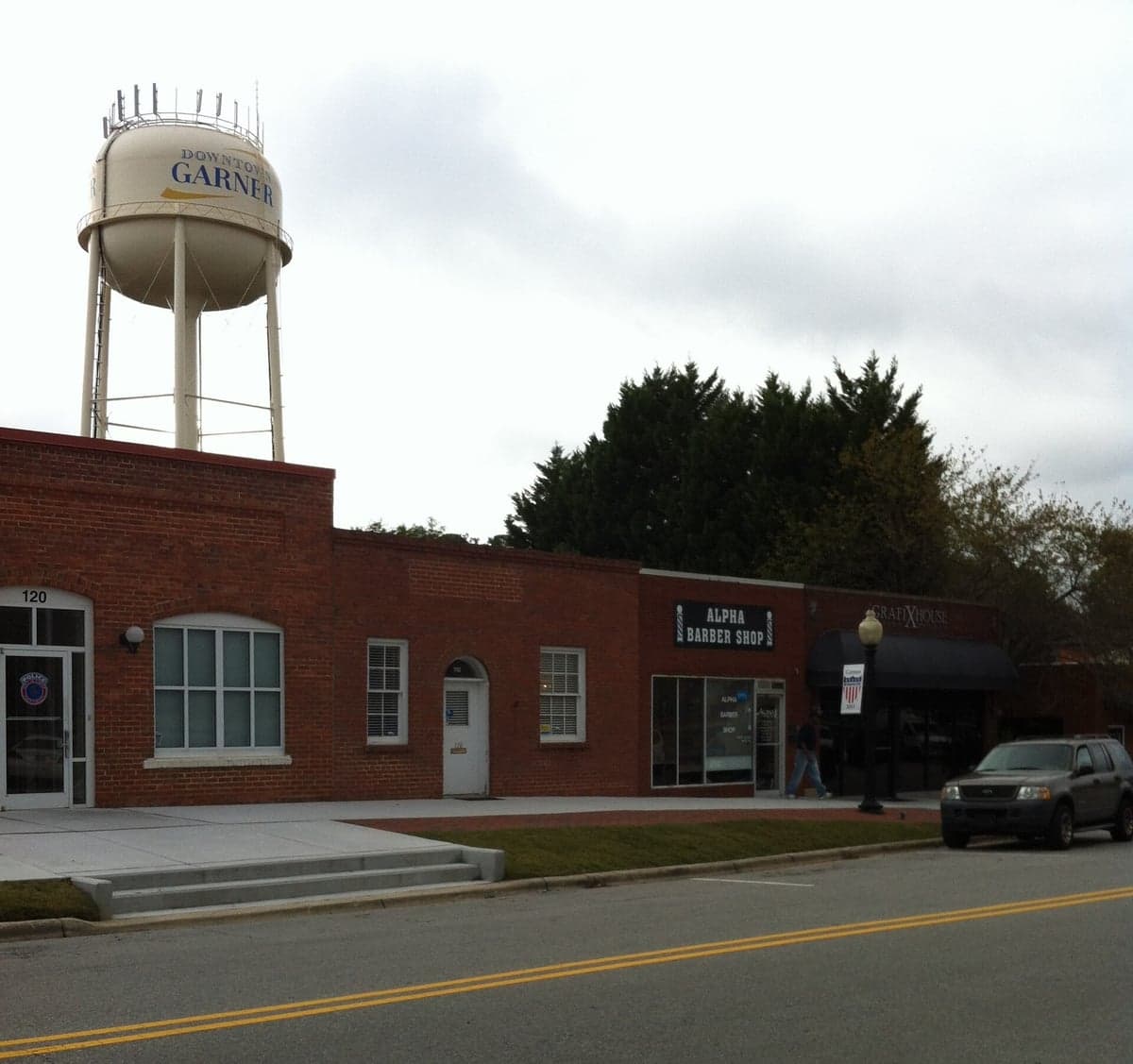
Strategic Assessment of Garner, NC
Multiple tactical vulnerabilities. Population density, target proximity, or disaster risk are likely compounding. A retreat property and exit planning is required.
What does the Strategic Assessment tell us?
Our Strategic Assessment grades tactical survivability of an area. Major population centers, military targets, fallout zones, natural disasters, and border exposure all drive risk — lower exposure means a more defensible position in a crisis.
This is heavily inspired by Joel Skousen's Strategic Relocation book. Highly recommended you checkout the book ($)What does this tell us?
Our Strategic Assessment grades tactical survivability of an area. Major population centers, military targets, fallout zones, natural disasters, and border exposure all drive risk — lower exposure means a more defensible position in a crisis.
This is heavily inspired by Joel Skousen's Strategic Relocation book. Highly recommended you checkout the book ($)Strategic Pillars

Key Distances
Regional Safe Places
Below is our recommended "safe zones" in North Carolina and the surrounding area based on our strategic heuristics. For most people, it's unrealistic to live in a “safe zone” full-time due to work, family or other personal reasons. They tend to be more rural. However, many of these areas are perfect for second homes and retreat properties that double as a vacation home or even a short-term rental.


Important Note: For informational purposes only. This does not mean nothing bad ever happens in the green zones. Please use common sense. This is based on public data and modeled with AI. We tried to take a conservative approach but mistakes happen. We update this regularly as new information becomes available.
Solar Generator Recommendations
Backup power matters more here than in safer locations. We've picked three solar generators across budgets and capacity tiers — start with the budget unit if you only need a few essentials, or step up if you want to run a fridge and HVAC for days at a time.

Jackery Portable Power Station Explorer 300
Budget OptionPower on the Go: Weighing only 11 lbs, it's convenient to set up and store with book-sized foldable solar panels

BLUETTI Portable Power Station AC180
Designed for both indoor and outdoor scenarios, AC180 is highly capable as it has a robost capacity and continuous output power.

EF ECOFLOW DELTA Pro Ultra Power Station
Upgraded PickEcoFlow DELTA Pro Ultra is a whole-home energy system designed to grow with your family. Integrated with the Smart Home Panel 2, it scales to meet your evolving energy needs — keeping your home powered, intelligent, and secure through every stage of life.
We earn a commission, at no additional cost to you.
Strategic Assessment Analysis
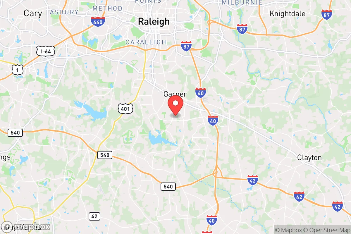
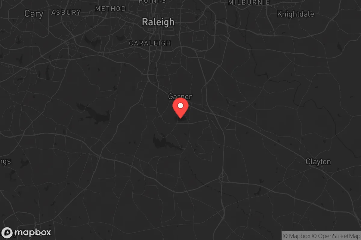
Garner, North Carolina, offers a strategic balance of proximity to Raleigh’s economic engine and a buffer from its densest population centers, making it a viable relocation option for those prioritizing resilience. The town sits roughly 10 miles southeast of downtown Raleigh, placing it within the Research Triangle region’s job market while maintaining a semi-rural character that supports self-sufficiency. For a conservative-leaning prepper, Garner’s location provides access to urban resources without the immediate fallout risks of a major metro core, though its position along major highways introduces both logistical advantages and vulnerability to evacuation chokepoints.
Geographic position and natural advantages for long-term stability
Garner’s geography is defined by its position on the fall line between the Piedmont and Coastal Plain, offering rolling terrain that aids drainage and reduces flood risk compared to low-lying areas. The Neuse River runs just east of town, providing a water source that could be leveraged for off-grid supply, though its proximity to agricultural runoff and upstream development requires filtration planning. The area’s clay-based soils support gardening and small-scale farming, with a growing season of roughly 200 days that allows for two crop cycles annually. Garner’s elevation around 400 feet above sea level places it above storm surge threats from hurricanes, which historically weaken as they move inland, though tropical remnants can still dump heavy rain. The town’s tree canopy—predominantly oak, pine, and hickory—offers natural cover and a source of firewood, but also creates debris hazards during ice storms or high winds. For a relocator, the key natural advantage is the region’s abundant groundwater; the Upper Cape Fear aquifer system underlies the area, and many rural properties have access to wells at depths of 100–300 feet, reducing dependency on municipal systems during grid failures.
Risks, exposures, and proximity to fallout-relevant landmarks
Garner’s primary risk stems from its location within the I-40/I-440 corridor, a major east-west artery that would become a congestion nightmare during any mass evacuation event. The town is 10 miles from Raleigh-Durham International Airport (RDU), a potential target for civil unrest or supply chain disruptions, and 15 miles from Fort Liberty (formerly Fort Bragg), one of the largest military installations in the world. While Fort Liberty’s presence provides a security buffer, it also makes the region a plausible target for asymmetric threats—cyber attacks on military logistics, protests spilling into surrounding towns, or even a conventional strike scenario. Garner sits 25 miles from the Shearon Harris Nuclear Plant in New Hill, a pressurized water reactor that, while well-regulated, represents a fallout risk within the 50-mile emergency planning zone. The plant’s evacuation routes run through Garner’s main roads, meaning any incident would funnel traffic through the town. Additionally, Garner’s proximity to Raleigh’s urban core means it would absorb spillover from any civil unrest in the capital—protests, looting, or supply shortages that radiate outward from downtown. The town’s own population of roughly 35,000 is small enough to avoid the worst of urban chaos, but its growth rate of 15% since 2020 suggests increasing density that erodes the buffer over time.
Practical resilience for a relocator: food, water, energy, and defensibility
For a relocator focused on practical preparedness, Garner offers a mixed bag. Food security is achievable through local agriculture: the town is surrounded by working farms producing soybeans, corn, and tobacco, and the nearby State Farmers Market in Raleigh provides a wholesale produce hub. However, reliance on industrial agriculture means that a prolonged grid-down scenario would require establishing personal gardens or barter networks with rural neighbors. The town’s zoning allows for backyard chickens and small livestock in most residential areas, though homeowners’ associations in newer subdivisions may restrict this. Water resilience is Garner’s strongest asset: the town’s municipal water comes from the Neuse River, but private wells are common in outlying areas, and the water table sits at 20–40 feet in most parts. A hand pump or solar-powered well pump can provide off-grid water, though testing for nitrates from agricultural runoff is advisable. Energy independence is limited by the region’s moderate solar insolation—North Carolina averages 4.5 peak sun hours per day, enough for a modest solar array but not for heavy loads like electric heating. Wood stoves are a practical backup, with firewood readily available from local timber stands. Defensibility is a concern: Garner’s layout is suburban sprawl, with cul-de-sacs and strip malls that offer few natural chokepoints. The town’s police force of roughly 60 officers is adequate for routine patrols but would be overwhelmed during a large-scale event. The best defensive posture is to locate on the town’s southern or eastern fringe, where lot sizes increase and road density decreases, providing more standoff from potential threats. Medical preparedness is bolstered by WakeMed’s Garner Healthplex, a 24/7 emergency department, but trauma care requires a 20-minute drive to Raleigh’s major hospitals—a vulnerability if roads are blocked.
Overall, Garner presents a viable but not ideal strategic relocation option for the conservative prepper. Its strengths—groundwater access, moderate climate, and proximity to military stability—are offset by its vulnerability to Raleigh’s urban spillover and the nuclear plant’s shadow. For a single individual or family willing to invest in off-grid infrastructure and maintain a low profile, Garner offers a reasonable base for weathering short-term disruptions, but it lacks the deep rural buffer needed for long-term collapse scenarios. The town’s growth trajectory suggests that its resilience window is closing; those considering relocation should act within the next 3–5 years before suburban infill eliminates the remaining advantages. For a more robust posture, look 30–40 miles further southeast toward Johnston County’s farmlands, where population density drops and self-sufficiency becomes more practical. Garner is a compromise—better than Raleigh proper, but not the fortress some may seek.
* Values derived from national, state, county, city and local statistics and may differ in a specific area. Last updated: 2026-04-21T17:05:26.000Z
Narrative content on this page is AI-generated and may contain mistakes. Verify any details that matter before acting on them.
ReloMaps may earn a commission from affiliate links at no extra cost to you.