
Photo: Wikipedia
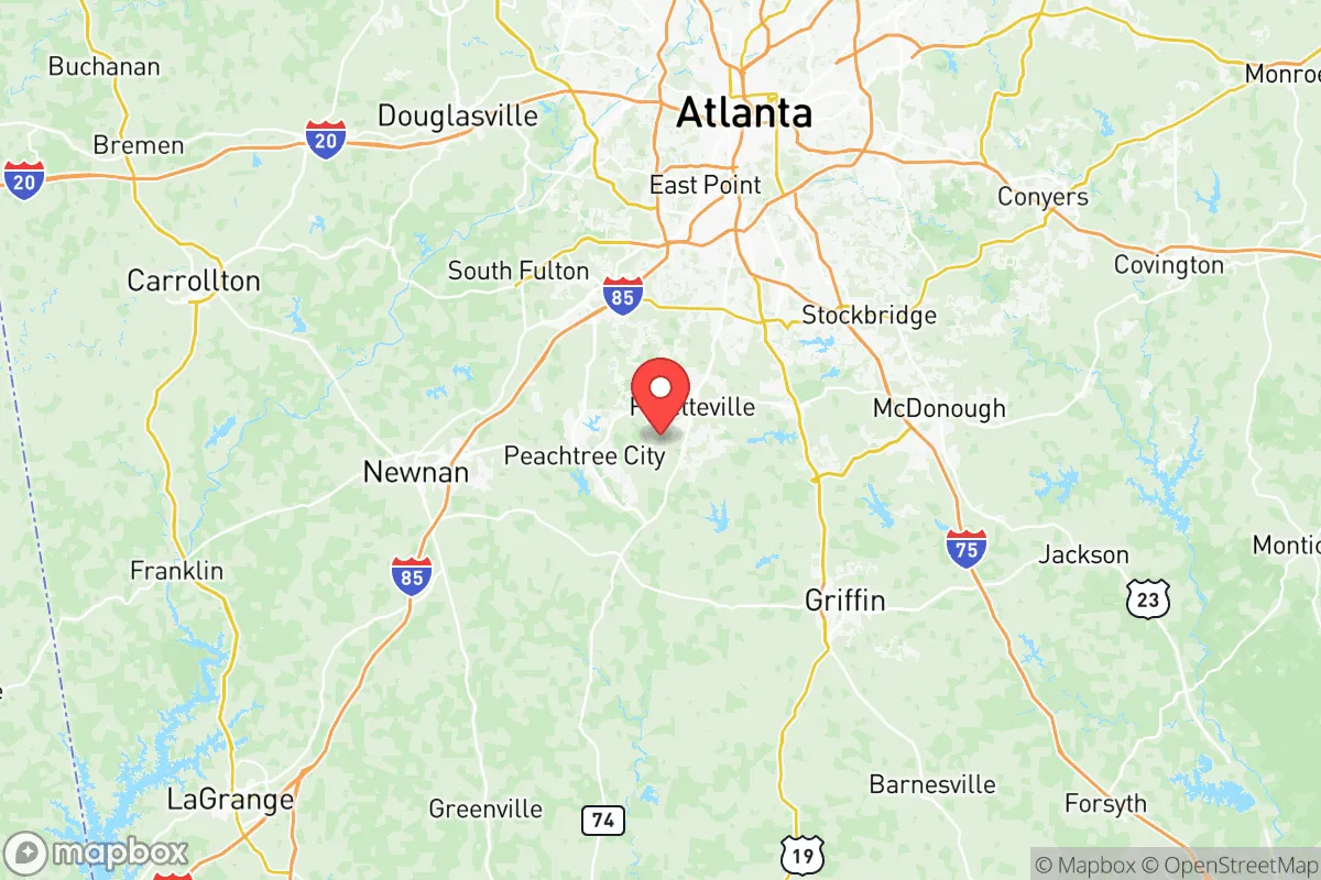
Strategic Assessment of Fayette County
Meaningful friction. Expect exposure to either population pressure, blast zones, or natural disaster risk. Consider buying a retreat property.
What does the Strategic Assessment tell us?
Our Strategic Assessment grades tactical survivability of an area. Major population centers, military targets, fallout zones, natural disasters, and border exposure all drive risk — lower exposure means a more defensible position in a crisis.
This is heavily inspired by Joel Skousen's Strategic Relocation book. Highly recommended you checkout the book ($)What does this tell us?
Our Strategic Assessment grades tactical survivability of an area. Major population centers, military targets, fallout zones, natural disasters, and border exposure all drive risk — lower exposure means a more defensible position in a crisis.
This is heavily inspired by Joel Skousen's Strategic Relocation book. Highly recommended you checkout the book ($)Strategic Pillars

Key Distances
Strategic Assessment Analysis
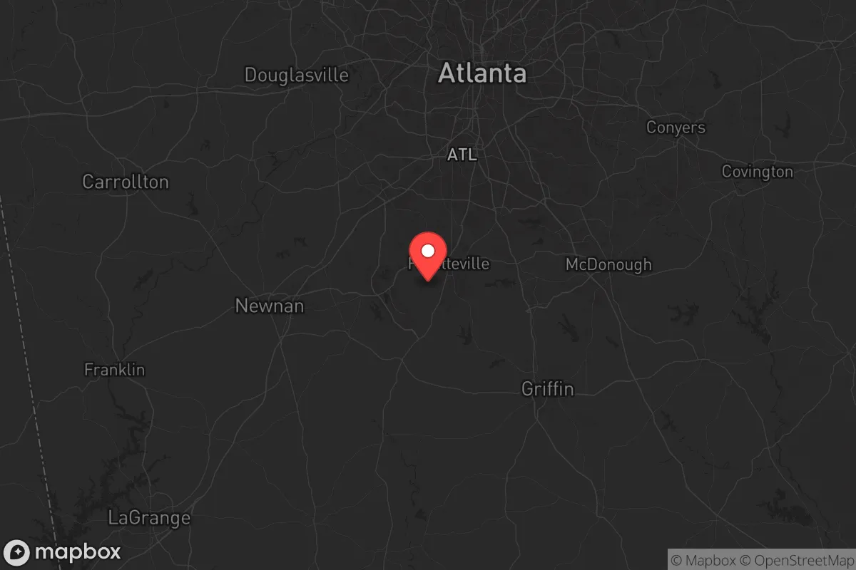
Fayette County, Georgia, sits in a strategic sweet spot that resilience-minded relocators should take seriously: close enough to Atlanta’s economic engine to sustain a career, yet far enough from the urban core to offer genuine buffer in times of unrest. The county’s position along the southern arc of the Atlanta metropolitan area places it roughly 25 miles south of downtown, with a population hovering around 120,000—dense enough to support infrastructure, but not so dense that a single disruption cascades into chaos. For a conservative-leaning individual or family weighing long-term security, Fayette County’s combination of rural character, suburban stability, and proximity to critical resources makes it a candidate worth a hard look.
Geographic position and natural advantages for long-term security
Fayette County sits on the Piedmont plateau, with rolling hills, mixed hardwood forests, and a climate that avoids the extremes of both the coastal plain and the mountains. The county is anchored by the city of Fayetteville (the county seat) and includes the towns of Tyrone, Peachtree City, and Brooks. The area’s elevation—averaging 800 to 1,000 feet above sea level—provides natural drainage and reduces flood risk compared to low-lying counties closer to the coast. The Flint River runs along the county’s western edge, offering a reliable surface water source, while the Line Creek and Whitewater Creek watersheds add redundancy. For a prepper, water access is non-negotiable, and Fayette County has it in spades without being dependent on a single reservoir. The county’s position also places it outside the direct blast radius of any major military or industrial target—no nuclear plants, no major refineries, no strategic ports within 50 miles. That’s a quiet advantage most metro-adjacent counties can’t claim.
Risks, exposures, and proximity to fallout-relevant landmarks
No location is immune, and Fayette County has its share of vulnerabilities. The most obvious is its proximity to Hartsfield-Jackson Atlanta International Airport, roughly 20 miles north. In a mass-casualty event or EMP scenario, the airport becomes a chokepoint—potential for ground-zero chaos, refugee flows, and secondary targeting. The county also sits within 60 miles of Fort Moore (formerly Fort Benning) in Columbus, a major Army installation. While that base is a source of economic stability, it’s also a potential target in a conflict scenario. The Atlanta metropolitan area’s population of over 6 million means that any collapse in the city—whether from civil unrest, grid failure, or pandemic—will send waves of evacuees south along I-85 and GA-74. Fayette County is directly in that funnel. Additionally, the county’s own infrastructure—power substations, water treatment plants, and the Fayette County Detention Center—are localized vulnerabilities. A coordinated attack on the grid could leave the county without power for weeks, and the reliance on well water in rural areas means a pump failure becomes a survival issue fast.
Practical resilience for a relocator: food, water, energy, and defensibility
For someone serious about self-sufficiency, Fayette County offers a mixed bag. On the positive side, the county has a strong agricultural heritage—Brooks and the southern parts of the county still have working farms, and the local extension office supports small-scale livestock and vegetable production. The Fayette County Farmers Market in Fayetteville is a year-round resource for networking with local growers. Water is generally accessible via wells, and the county’s building codes allow for rainwater catchment systems. On energy, the county is served by Georgia Power and Coweta-Fayette EMC, both of which have decent reliability records, but solar is a viable backup—the county gets about 215 sunny days per year, and zoning in unincorporated areas permits off-grid solar arrays without excessive permitting. Defensibility is where Fayette County shines for a prepared relocator. The terrain is not flat—rolling hills and wooded lots provide natural cover and chokepoints. The county’s road network is a mix of state highways (like GA-85 and GA-54) and winding county roads that are easy to monitor and hard to navigate for an unfamiliar force. The Peachtree City area, with its golf cart paths and planned subdivisions, is less defensible due to density, but the rural tracts near Brooks and the Flint River corridor offer genuine standoff distance. The biggest practical gap is food storage: the county has no major grain elevators or bulk food distributors, so a relocator should plan to stockpile at least six months of supplies or establish a local supply chain with farmers.
Overall, Fayette County presents a compelling strategic picture for the conservative relocator who wants to stay within striking distance of Atlanta’s job market while maintaining a buffer from its risks. The county’s natural advantages—water access, elevation, and defensible terrain—are real, and its exposure to fallout-relevant landmarks is manageable if you choose your specific location wisely (avoid the northern edge near the airport, favor the southern and western rural tracts). The biggest wildcard is the human factor: Fayette County’s population is largely suburban and professional, not hardened preppers. In a crisis, you’ll be surrounded by neighbors who may not have your level of preparation. That’s both a risk and an opportunity—you can build a mutual-aid network early, but you’ll need to be the one initiating it. If you’re willing to put in the work on water storage, solar backup, and community building, Fayette County is a solid bet for weathering the next decade’s uncertainties.
* Values derived from national, state, county, city and local statistics and may differ in a specific area. Last updated: 2026-05-26T06:59:05.000Z
Narrative content on this page is AI-generated and may contain mistakes. Verify any details that matter before acting on them.
ReloMaps may earn a commission from affiliate links at no extra cost to you.