
Photo: Wikipedia
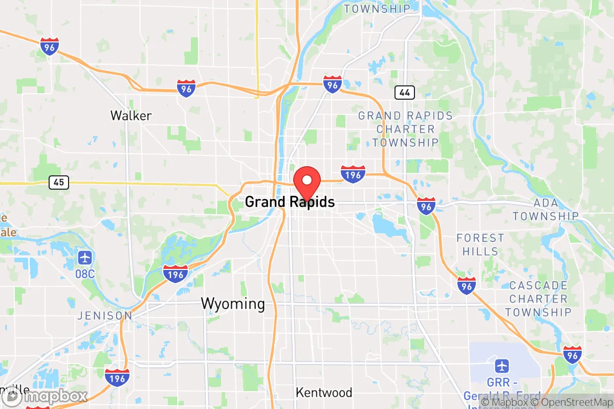
Strategic Assessment of Grand Rapids, MI
Meaningful friction. Expect exposure to either population pressure, blast zones, or natural disaster risk. Consider buying a retreat property.
What does the Strategic Assessment tell us?
Our Strategic Assessment grades tactical survivability of an area. Major population centers, military targets, fallout zones, natural disasters, and border exposure all drive risk — lower exposure means a more defensible position in a crisis.
This is heavily inspired by Joel Skousen's Strategic Relocation book. Highly recommended you checkout the book ($)What does this tell us?
Our Strategic Assessment grades tactical survivability of an area. Major population centers, military targets, fallout zones, natural disasters, and border exposure all drive risk — lower exposure means a more defensible position in a crisis.
This is heavily inspired by Joel Skousen's Strategic Relocation book. Highly recommended you checkout the book ($)Strategic Pillars

Key Distances
Regional Safe Places
Below is our recommended "safe zones" in Michigan and the surrounding area based on our strategic heuristics. For most people, it's unrealistic to live in a “safe zone” full-time due to work, family or other personal reasons. They tend to be more rural. However, many of these areas are perfect for second homes and retreat properties that double as a vacation home or even a short-term rental.


Important Note: For informational purposes only. This does not mean nothing bad ever happens in the green zones. Please use common sense. This is based on public data and modeled with AI. We tried to take a conservative approach but mistakes happen. We update this regularly as new information becomes available.
Solar Generator Recommendations
Backup power matters more here than in safer locations. We've picked three solar generators across budgets and capacity tiers — start with the budget unit if you only need a few essentials, or step up if you want to run a fridge and HVAC for days at a time.

Jackery Portable Power Station Explorer 300
Budget OptionPower on the Go: Weighing only 11 lbs, it's convenient to set up and store with book-sized foldable solar panels

BLUETTI Portable Power Station AC180
Designed for both indoor and outdoor scenarios, AC180 is highly capable as it has a robost capacity and continuous output power.

EF ECOFLOW DELTA Pro Ultra Power Station
Upgraded PickEcoFlow DELTA Pro Ultra is a whole-home energy system designed to grow with your family. Integrated with the Smart Home Panel 2, it scales to meet your evolving energy needs — keeping your home powered, intelligent, and secure through every stage of life.
We earn a commission, at no additional cost to you.
Strategic Assessment Analysis
Grand Rapids, Michigan, presents a mixed strategic picture for the conservative prepper or survivalist. Its inland location in West Michigan offers a buffer from coastal fallout zones and hurricane-prone regions, but its position as a regional economic hub and proximity to major population centers introduces significant vulnerabilities. For a relocator prioritizing resilience, Grand Rapids is not a hardened redoubt, but a potential staging area with moderate defensibility if one understands its specific risk profile and plans accordingly.
Geographic position and natural advantages for long-term survival
Grand Rapids sits roughly 30 miles inland from Lake Michigan, placing it outside the immediate blast and fallout zones of coastal targets like Chicago or Detroit, yet close enough to leverage the Great Lakes as a massive freshwater resource. The area is part of the Michigan Basin, a geologically stable region with low seismic risk and no active fault lines. The surrounding terrain is gently rolling, with mixed hardwood forests and abundant farmland in Kent, Ottawa, and Allegan counties. This agricultural base is a genuine asset: West Michigan is a top producer of apples, blueberries, and Christmas trees, and the growing season runs from late April to early October. For a relocator, this means local food production is viable, though not without effort. The Grand River runs through the city, providing a surface water source, but it is heavily polluted in urban stretches and requires filtration. The region's primary natural advantage is water abundance—the Great Lakes hold 84% of North America's surface freshwater—but accessing it requires proximity to the lakeshore, which also brings higher population density and tourism traffic. The climate is humid continental, with cold, snowy winters averaging 75 inches of snow annually, which can be a logistical challenge for off-grid living but also a natural barrier to movement during a crisis.
Risks, exposures, and proximity to fallout-relevant landmarks
The most glaring risk for Grand Rapids is its proximity to multiple high-value targets. The city lies 150 miles from Chicago, a primary nuclear target, and 160 miles from Detroit, another likely target. Fallout from a Chicago strike could reach Grand Rapids within 6-12 hours depending on wind patterns, with lethal radiation levels potentially extending into the western suburbs. The city itself hosts the Gerald R. Ford International Airport, a major cargo hub, and the Amway Grand Plaza, a symbolic corporate headquarters—both plausible secondary targets. Additionally, the Palisades Nuclear Plant, located 50 miles southwest in Covert Township, is a decommissioned facility that could become a radiological hazard if struck or if containment fails during a crisis. The plant's spent fuel pools are a particular concern. Grand Rapids also sits within 100 miles of the Muskegon Army Reserve Center and the Battle Creek Air National Guard Base, both potential military targets. For a prepper, the city's role as a regional medical hub (with Spectrum Health and Mercy Health systems) means it would be a destination for refugees, straining resources and increasing the risk of civil unrest. The city's population of roughly 200,000, with a metro area of 1.1 million, creates a density that is difficult to defend or evacuate quickly. Major highways like I-96 and US-131 would become choke points during an evacuation, and the Grand River's bridges are vulnerable to sabotage or collapse.
Practical resilience for a relocator: food, water, energy, and defensibility
For a relocator serious about self-sufficiency, Grand Rapids offers a mixed bag. Water is the strongest asset: the Great Lakes provide an essentially inexhaustible supply, but accessing it requires a lakeshore property or a reliable vehicle to haul water from Lake Michigan or the Grand River. Filtration systems (Berkey, Sawyer, or RO) are essential, as surface water in the region carries agricultural runoff and industrial contaminants. Food production is feasible but not automatic. The soil in Kent County is sandy loam, good for root vegetables and berries, but requires amendment for heavy feeders like corn. Local farmers' markets and CSAs are abundant in normal times, but would collapse in a crisis. A serious prepper would need to secure a rural property in Allegan or Barry County, where acreage is cheaper and zoning is lax. Energy resilience is a weak point. The grid is aging and vulnerable to ice storms and cyberattacks. Solar is viable but limited by winter cloud cover; a backup generator with a 500-gallon propane tank is a near-necessity. Wood heating is practical, as firewood is plentiful in the national forests (Manistee, Huron) within a 90-minute drive. Defensibility is moderate. The city itself is not defensible—too many entry points, too much population. But the surrounding rural areas offer natural chokepoints: the Grand River, the Lake Michigan shoreline, and the limited road network through the Manistee National Forest. A group with a well-stocked rural compound could hold a perimeter against small bands, but not against organized forces. The local law enforcement culture is generally pro-Second Amendment, with Kent County issuing concealed carry permits without excessive delay, and Michigan is a shall-issue state. However, the city itself leans left politically, and the county sheriff's office has faced criticism for its handling of protests. For a prepper, the key is to avoid the city limits and establish a base in the surrounding townships—Caledonia, Lowell, or Rockford—where the population is smaller and more self-reliant.
The overall strategic picture for Grand Rapids is one of calculated risk. It is not a survivalist paradise—the proximity to Chicago and Detroit, the presence of a nuclear plant, and the regional medical hub status create real vulnerabilities. But it is also not a death trap. The freshwater access, agricultural potential, and relatively stable geology give it a baseline resilience that many inland cities lack. For a conservative relocator willing to invest in a rural property outside the metro area, stockpile supplies, and maintain a low profile, Grand Rapids can serve as a viable base of operations—provided they are prepared to bug out to the Upper Peninsula or northern Wisconsin if the situation deteriorates. The city's best use is as a resupply point and a source of skilled labor (manufacturing, medical, trades) in the early stages of a crisis, not as a long-term refuge. If you are looking for a place to ride out the storm, look further north. If you want a strategic foothold with options, Grand Rapids is worth a hard look—but only with eyes wide open to its risks.
* Values derived from national, state, county, city and local statistics and may differ in a specific area. Last updated: 2026-04-30T04:22:01.000Z
Narrative content on this page is AI-generated and may contain mistakes. Verify any details that matter before acting on them.
ReloMaps may earn a commission from affiliate links at no extra cost to you.