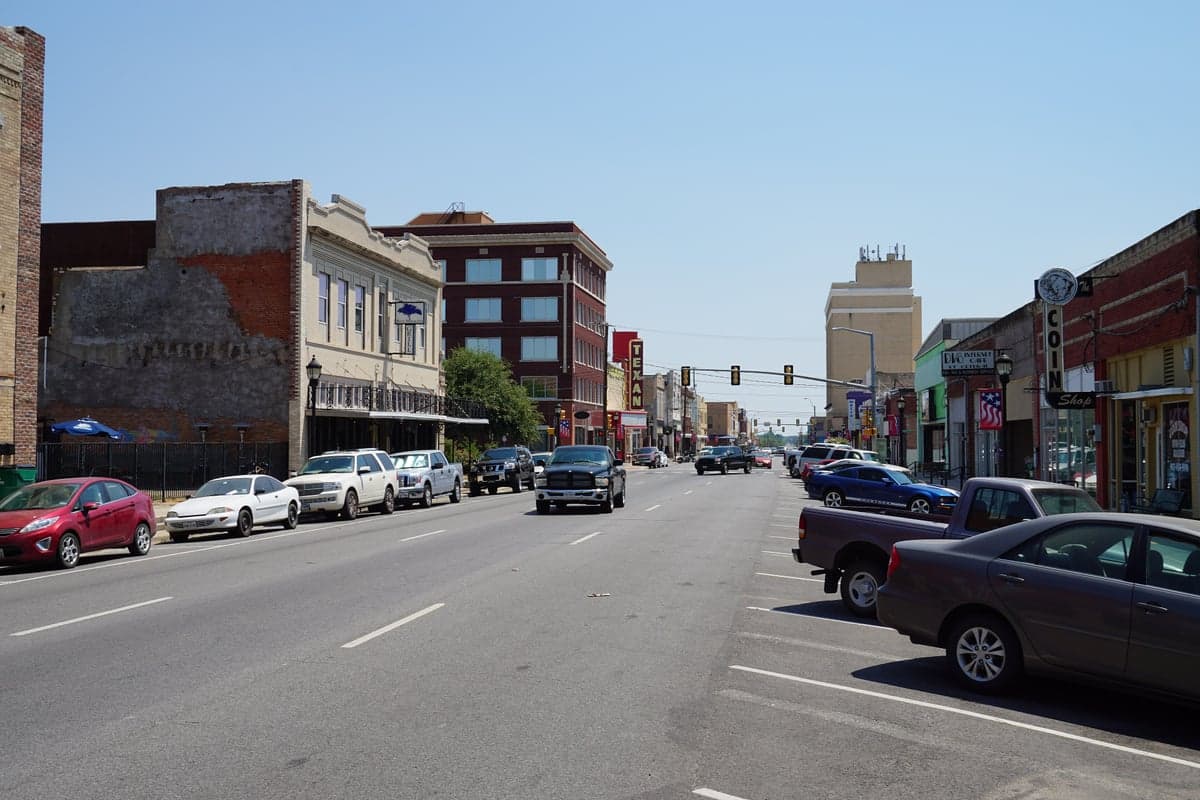
Photo: Wikipedia
Strategic Assessment of Greenville, TX
Meaningful friction. Expect exposure to either population pressure, blast zones, or natural disaster risk. Consider buying a retreat property.
What does the Strategic Assessment tell us?
Our Strategic Assessment grades tactical survivability of an area. Major population centers, military targets, fallout zones, natural disasters, and border exposure all drive risk — lower exposure means a more defensible position in a crisis.
This is heavily inspired by Joel Skousen's Strategic Relocation book. Highly recommended you checkout the book ($)What does this tell us?
Our Strategic Assessment grades tactical survivability of an area. Major population centers, military targets, fallout zones, natural disasters, and border exposure all drive risk — lower exposure means a more defensible position in a crisis.
This is heavily inspired by Joel Skousen's Strategic Relocation book. Highly recommended you checkout the book ($)Strategic Pillars

Key Distances
Regional Safe Places
Below is our recommended "safe zones" in Texas and the surrounding area based on our strategic heuristics. For most people, it's unrealistic to live in a “safe zone” full-time due to work, family or other personal reasons. They tend to be more rural. However, many of these areas are perfect for second homes and retreat properties that double as a vacation home or even a short-term rental.


Important Note: For informational purposes only. This does not mean nothing bad ever happens in the green zones. Please use common sense. This is based on public data and modeled with AI. We tried to take a conservative approach but mistakes happen. We update this regularly as new information becomes available.
Solar Generator Recommendations
Backup power matters more here than in safer locations. We've picked three solar generators across budgets and capacity tiers — start with the budget unit if you only need a few essentials, or step up if you want to run a fridge and HVAC for days at a time.

Jackery Portable Power Station Explorer 300
Budget OptionPower on the Go: Weighing only 11 lbs, it's convenient to set up and store with book-sized foldable solar panels

BLUETTI Portable Power Station AC180
Designed for both indoor and outdoor scenarios, AC180 is highly capable as it has a robost capacity and continuous output power.

EF ECOFLOW DELTA Pro Ultra Power Station
Upgraded PickEcoFlow DELTA Pro Ultra is a whole-home energy system designed to grow with your family. Integrated with the Smart Home Panel 2, it scales to meet your evolving energy needs — keeping your home powered, intelligent, and secure through every stage of life.
We earn a commission, at no additional cost to you.
Strategic Assessment Analysis
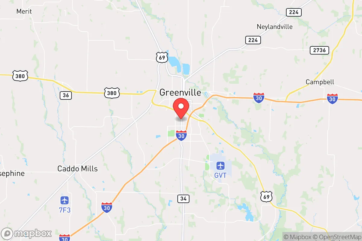
Greenville, Texas, offers a compelling strategic position for those prioritizing resilience and self-sufficiency, sitting roughly 50 miles northeast of Dallas but far enough from the metroplex’s immediate fallout zone to provide a meaningful buffer. Its location along Interstate 30 and U.S. Highway 69 places it on a major east-west corridor while keeping it outside the concentric rings of a major city’s likely target list. For a relocator with a prepper mindset, Greenville represents a middle ground—close enough to access urban resources in a crisis, yet distant enough to avoid the worst of a mass casualty event or civil unrest that would likely paralyze Dallas-Fort Worth.
Geographic position and natural advantages for long-term survival
Greenville sits in Hunt County, a region defined by the Blackland Prairie and rolling post-oak savanna, with the South Sulphur River and Lake Tawakoni within a 20-minute drive. The area’s topography is not mountainous, but it offers defensible terrain in the form of creek bottoms, wooded draws, and scattered rural acreage that can be secured with minimal effort. The climate is temperate, with four distinct seasons and an average annual rainfall of about 40 inches, which supports reliable cistern collection and small-scale agriculture. The local water table is accessible via shallow wells in many parts of the county, a critical advantage if municipal systems fail. For a survivalist, the ability to grow food, harvest rainwater, and maintain off-grid power (solar is viable here, with roughly 220 sunny days per year) makes Greenville a practical choice over more arid or flood-prone regions of Texas. The area’s natural gas and oil reserves in the Barnett Shale play are a secondary but real asset—local energy infrastructure means fuel and power may remain available longer than in grid-dependent suburbs.
Risks, exposures, and proximity to fallout-relevant landmarks
The primary strategic liability is Greenville’s proximity to Dallas, a Tier-1 target for any major conflict or terrorist event. A ground burst or airburst over downtown Dallas would place Greenville within the moderate fallout zone depending on wind patterns, with radiation levels that could require sheltering for 48-72 hours. The city is also within 100 miles of the Comanche Peak Nuclear Power Plant near Glen Rose, though prevailing winds typically carry any release south or east. More immediate risks include the rail lines running through Hunt County—Union Pacific and BNSF both move hazardous materials (ammonium nitrate, chlorine, propane) through the area, and a derailment or sabotage event could contaminate local water sources or force an evacuation. Tornado risk is real but manageable; Hunt County averages 3-5 tornado warnings per year, and the flat terrain offers little natural shielding. For the prepper, the biggest exposure is not natural disaster but human-caused chaos: Greenville’s location on I-30 makes it a natural chokepoint for refugees fleeing Dallas in a collapse scenario. A determined group could block the highway, but the city’s small population (roughly 28,000) means it would be overwhelmed quickly if a mass exodus occurs. The nearby Lake Tawakoni dam is a secondary concern—its failure would flood downstream areas, but Greenville sits on higher ground and would likely be spared catastrophic flooding.
Practical resilience for a relocator: food, water, energy, and defensibility
For a single individual or family looking to establish a resilient homestead, Greenville’s practical advantages are strong. The local agricultural economy—cotton, corn, soybeans, and cattle—means fresh food is available at farm stands and co-ops even if grocery supply chains falter. The Hunt County Farmers Market operates seasonally, and several local farms offer CSA shares. Water is the bigger concern: municipal water comes from Lake Tawakoni, which is subject to drought and algae blooms, but private wells in the area typically produce 10-20 gallons per minute at depths of 200-400 feet. A prepper should budget for a well pump powered by solar or a manual backup. Energy resilience is straightforward: the area has ample sun for rooftop solar, and many rural properties already use propane for heating and cooking. The local electric cooperative, Hunt-Collin Electric Cooperative, has a decent reliability record but is not hardened against EMP or cyberattack; a backup generator with 100 gallons of stored fuel is a minimum recommendation. Defensibility varies by property: acreage with tree lines, creek crossings, and a single gravel driveway offers natural chokepoints. The city itself has a low crime rate (violent crime is roughly half the national average), but in a SHTF scenario, the rural outskirts are far more defensible than subdivisions near the town square. The local sheriff’s office is well-regarded and maintains a visible presence, but in a prolonged crisis, law enforcement would be stretched thin. Building relationships with neighbors in the county—especially those with farming backgrounds—is the single most effective resilience strategy here.
The overall strategic picture for Greenville is one of calculated risk. It is not a remote bunker location like the Texas Panhandle or the Hill Country, but it offers a realistic balance of access and isolation for someone who wants to stay connected to the DFW economy while maintaining a prepared lifestyle. The city’s conservative political culture (Hunt County voted +34 R in 2024) aligns with a mindset of self-reliance and limited government interference, and the local gun culture is strong—there are multiple gun ranges and firearms dealers within 20 miles. The biggest threat is not nature but proximity to a major target, and any relocator must accept that Greenville sits within the blast-and-fallout radius of a Dallas strike. For those willing to invest in a well, solar, and a defensible rural property, Greenville provides a solid foundation for weathering civil unrest, supply chain disruptions, or a regional disaster. It is a place to rebuild, not just to hide.
* Values derived from national, state, county, city and local statistics and may differ in a specific area. Last updated: 2026-05-23T03:33:11.000Z
Narrative content on this page is AI-generated and may contain mistakes. Verify any details that matter before acting on them.
ReloMaps may earn a commission from affiliate links at no extra cost to you.