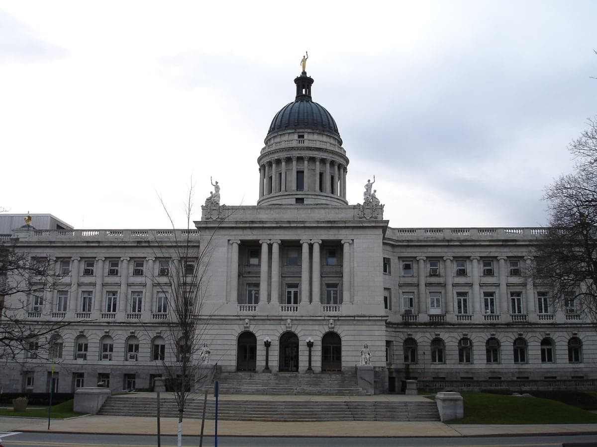
Photo: Wikipedia
Strategic Assessment of Hackensack, NJ
High tactical risk. This location is likely close to major population centers, strategic targets, or sits in a high-disaster corridor. A retreat property and careful exit planning is required.
What does the Strategic Assessment tell us?
Our Strategic Assessment grades tactical survivability of an area. Major population centers, military targets, fallout zones, natural disasters, and border exposure all drive risk — lower exposure means a more defensible position in a crisis.
This is heavily inspired by Joel Skousen's Strategic Relocation book. Highly recommended you checkout the book ($)What does this tell us?
Our Strategic Assessment grades tactical survivability of an area. Major population centers, military targets, fallout zones, natural disasters, and border exposure all drive risk — lower exposure means a more defensible position in a crisis.
This is heavily inspired by Joel Skousen's Strategic Relocation book. Highly recommended you checkout the book ($)Strategic Pillars

Key Distances
Regional Safe Places
Below is our recommended "safe zones" in New Jersey and the surrounding area based on our strategic heuristics. For most people, it's unrealistic to live in a “safe zone” full-time due to work, family or other personal reasons. They tend to be more rural. However, many of these areas are perfect for second homes and retreat properties that double as a vacation home or even a short-term rental.


Important Note: For informational purposes only. This does not mean nothing bad ever happens in the green zones. Please use common sense. This is based on public data and modeled with AI. We tried to take a conservative approach but mistakes happen. We update this regularly as new information becomes available.
Solar Generator Recommendations
Backup power matters more here than in safer locations. We've picked three solar generators across budgets and capacity tiers — start with the budget unit if you only need a few essentials, or step up if you want to run a fridge and HVAC for days at a time.

Jackery Portable Power Station Explorer 300
Budget OptionPower on the Go: Weighing only 11 lbs, it's convenient to set up and store with book-sized foldable solar panels

BLUETTI Portable Power Station AC180
Designed for both indoor and outdoor scenarios, AC180 is highly capable as it has a robost capacity and continuous output power.

EF ECOFLOW DELTA Pro Ultra Power Station
Upgraded PickEcoFlow DELTA Pro Ultra is a whole-home energy system designed to grow with your family. Integrated with the Smart Home Panel 2, it scales to meet your evolving energy needs — keeping your home powered, intelligent, and secure through every stage of life.
We earn a commission, at no additional cost to you.
Strategic Assessment Analysis
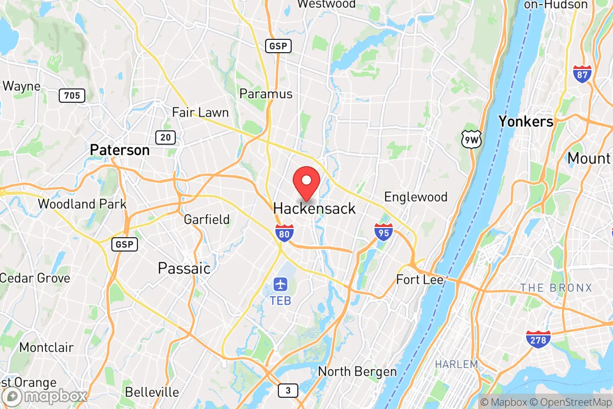
Hackensack, New Jersey, sits in a precarious strategic position that demands a clear-eyed assessment. Its location offers undeniable economic advantages, but for a relocator concerned with resilience, civic unrest, and mass casualty events, those same advantages become critical liabilities. The city is a dense, transit-connected hub within the New York metropolitan area, meaning it is both a potential target and a chokepoint during any large-scale disruption. While its infrastructure is robust for daily life, the very factors that make it attractive for commerce—proximity to major highways, rail lines, and a major airport—also make it a high-risk zone for evacuation, supply chain failure, and population movement during a crisis.
Geographic position and natural advantages for long-term survival
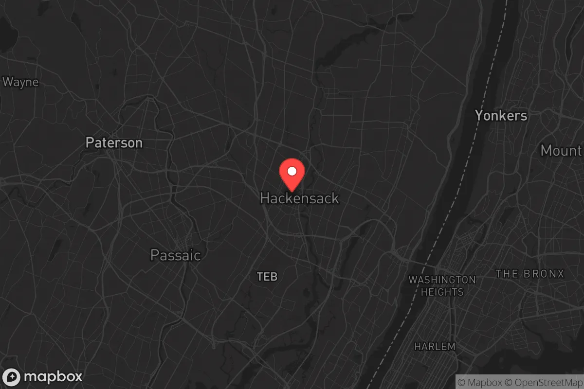
Hackensack is located in Bergen County, roughly 12 miles northwest of Midtown Manhattan, placing it squarely within the blast and fallout radius of any major event targeting New York City. The city sits on the Hackensack River, a tidal estuary that provides a water source but also presents flooding risks—the area is part of the New Jersey Meadowlands, a low-lying region prone to storm surge and riverine flooding. The terrain is mostly flat and urbanized, offering little in the way of natural defensible positions or escape routes. The nearby Palisades cliffs to the east provide some elevated ground, but access is limited and heavily developed. For a prepper, the lack of rugged, remote terrain within a 30-minute drive is a significant drawback. The region's dense suburban sprawl means that any large-scale evacuation would funnel onto a handful of major arteries—Interstate 80, the New Jersey Turnpike, and the Garden State Parkway—all of which become parking lots during emergencies. The natural advantages here are minimal; the area is a net liability for anyone seeking a bug-out location or a sustainable homestead.
Risks, exposures, and proximity to fallout-relevant landmarks
The primary risk for Hackensack is its proximity to New York City, a Tier 1 target for any state-level adversary. A nuclear detonation at ground level in Manhattan would produce lethal fallout extending well into Bergen County within hours, depending on wind direction. Hackensack is also within 20 miles of Newark Liberty International Airport, a major transportation hub that would be a secondary target or a source of cascading chaos during a conventional attack. The city itself hosts the Bergen County courthouse, a county jail, and several federal buildings, making it a potential target for civil unrest or coordinated attacks. The Hackensack University Medical Center is a regional trauma center—a double-edged sword: it provides critical care but also concentrates casualties and draws resources away from the surrounding area during a mass casualty event. The city's dense population (roughly 45,000 residents in just 4.4 square miles) means that any biological event, chemical spill, or radiological incident would spread rapidly. The Hackensack River is a potential vector for contamination, and the Meadowlands' industrial history means there are Superfund sites and chemical storage facilities nearby that could become secondary hazards during a disaster. For a survivalist, this is a high-exposure zone with limited escape options.
Practical resilience for a relocator: food, water, energy, and defensibility
Hackensack's practical resilience is poor for a prepper. The city relies entirely on the regional power grid, with no significant local energy generation or microgrid infrastructure. Water comes from the Hackensack Water Company, which draws from the Oradell Reservoir and the Passaic River—both vulnerable to contamination and disruption. During a prolonged grid-down scenario, water would be unavailable within days. Food supply is entirely dependent on just-in-time delivery to supermarkets and restaurants; there is no significant local agriculture or food storage capacity. The city's urban layout—row houses, apartments, and tight lots—offers little defensibility. Most homes lack basements suitable for fallout shelters, and the high population density means that any attempt to secure a property would be quickly overwhelmed by desperate neighbors. The nearest rural retreat areas are in Sussex County or the Poconos, a 90-minute drive under normal conditions—likely 4-6 hours during a crisis. For a single individual or family, the best practical move would be to use Hackensack as a temporary staging point for a pre-planned bug-out to a more defensible location, not as a long-term residence. Stockpiling supplies here is risky due to limited storage space and the likelihood of looting during civil unrest.
The overall strategic picture for Hackensack is clear: it is a high-risk, low-resilience location for anyone with a survivalist or prepper mindset. Its economic advantages—jobs, healthcare, transit—are real, but they come at the cost of being a prime target and a chokepoint during any major disruption. For a conservative-leaning relocator concerned with the state of the country and the world, this area should be viewed as a temporary base at best, not a permanent solution. The smart play is to keep a low profile, maintain a fully stocked bug-out vehicle, and have a detailed evacuation plan to a rural property in a lower-density, less-targeted region. Hackensack is not a place to dig in; it's a place to pass through. If you're serious about long-term resilience, look further west or north, where the terrain offers natural barriers, the population thins out, and the supply chains are less fragile. Here, you're betting on the system holding together—and in a world of increasing uncertainty, that's a bet few survivalists would take.
* Values derived from national, state, county, city and local statistics and may differ in a specific area. Last updated: 2026-04-25T03:10:02.000Z
Narrative content on this page is AI-generated and may contain mistakes. Verify any details that matter before acting on them.
ReloMaps may earn a commission from affiliate links at no extra cost to you.