Photo: Wikipedia
Strategic Assessment of High Point, NC
Meaningful friction. Expect exposure to either population pressure, blast zones, or natural disaster risk. Consider buying a retreat property.
What does the Strategic Assessment tell us?
Our Strategic Assessment grades tactical survivability of an area. Major population centers, military targets, fallout zones, natural disasters, and border exposure all drive risk — lower exposure means a more defensible position in a crisis.
This is heavily inspired by Joel Skousen's Strategic Relocation book. Highly recommended you checkout the book ($)What does this tell us?
Our Strategic Assessment grades tactical survivability of an area. Major population centers, military targets, fallout zones, natural disasters, and border exposure all drive risk — lower exposure means a more defensible position in a crisis.
This is heavily inspired by Joel Skousen's Strategic Relocation book. Highly recommended you checkout the book ($)Strategic Pillars

Key Distances
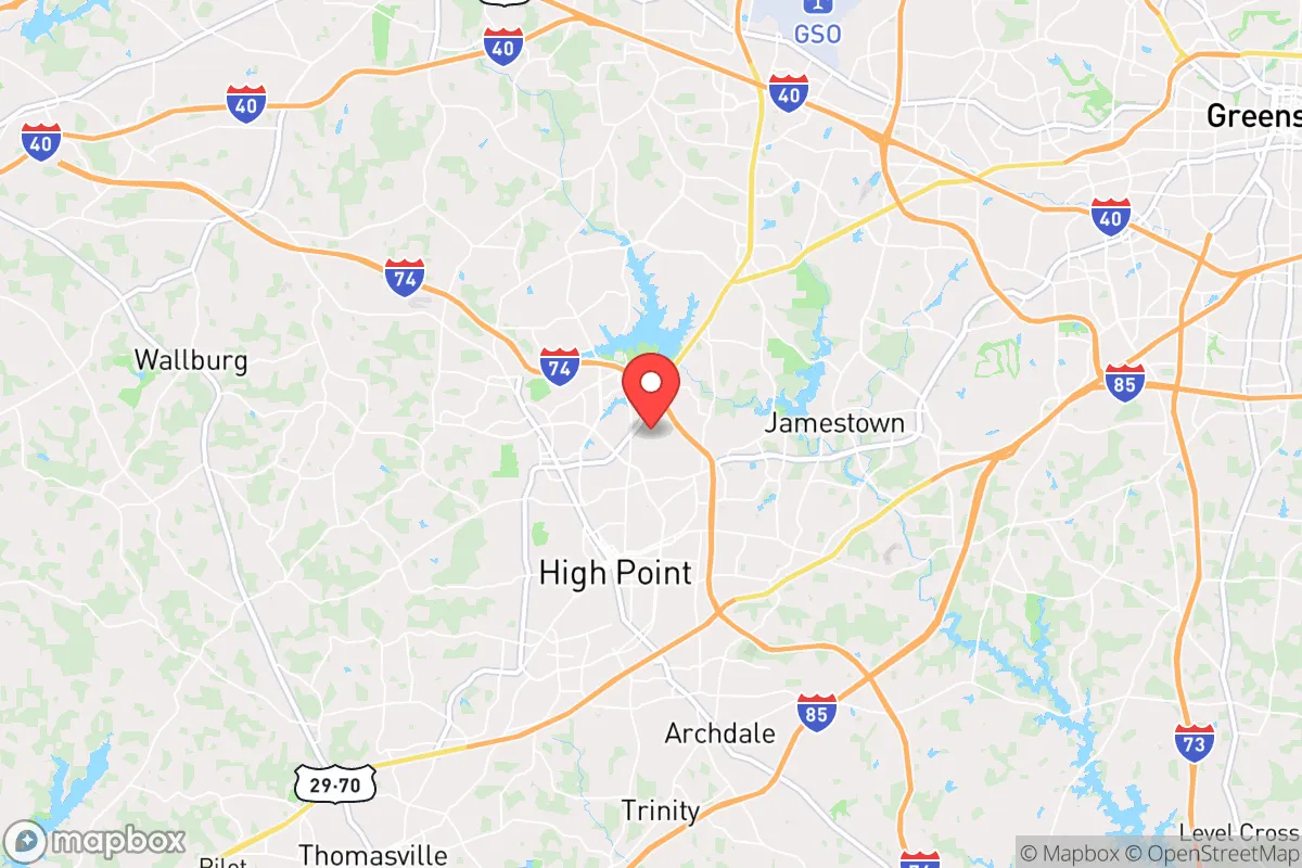
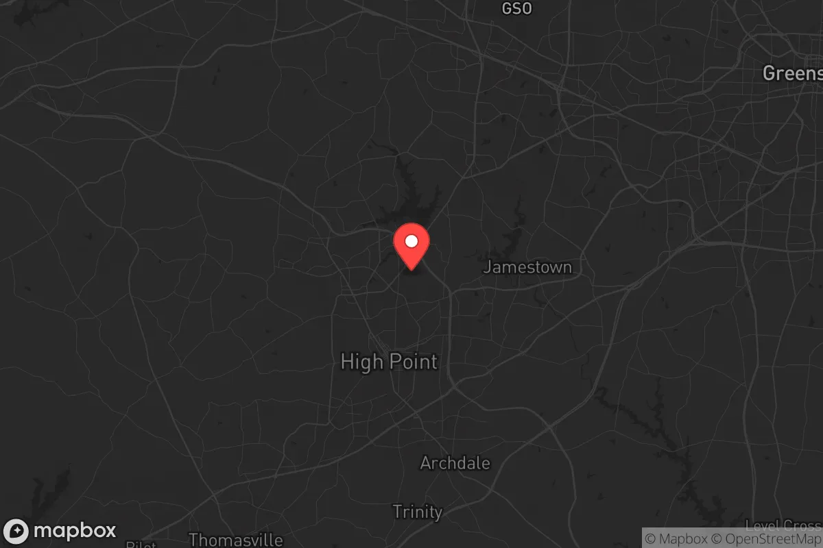
Regional Safe Places
Below is our recommended "safe zones" in North Carolina and the surrounding area based on our strategic heuristics. For most people, it's unrealistic to live in a “safe zone” full-time due to work, family or other personal reasons. They tend to be more rural. However, many of these areas are perfect for second homes and retreat properties that double as a vacation home or even a short-term rental.


Important Note: For informational purposes only. This does not mean nothing bad ever happens in the green zones. Please use common sense. This is based on public data and modeled with AI. We tried to take a conservative approach but mistakes happen. We update this regularly as new information becomes available.
Solar Generator Recommendations
Backup power matters more here than in safer locations. We've picked three solar generators across budgets and capacity tiers — start with the budget unit if you only need a few essentials, or step up if you want to run a fridge and HVAC for days at a time.

Jackery Portable Power Station Explorer 300
Budget OptionPower on the Go: Weighing only 11 lbs, it's convenient to set up and store with book-sized foldable solar panels

BLUETTI Portable Power Station AC180
Designed for both indoor and outdoor scenarios, AC180 is highly capable as it has a robost capacity and continuous output power.

EF ECOFLOW DELTA Pro Ultra Power Station
Upgraded PickEcoFlow DELTA Pro Ultra is a whole-home energy system designed to grow with your family. Integrated with the Smart Home Panel 2, it scales to meet your evolving energy needs — keeping your home powered, intelligent, and secure through every stage of life.
We earn a commission, at no additional cost to you.
Strategic Assessment Analysis
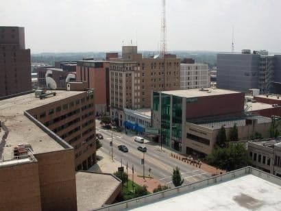
High Point, North Carolina, often called the "Furniture Capital of the World," offers a surprisingly resilient strategic position for a relocator with a prepper mindset, but it comes with significant trade-offs. Its inland location in the Piedmont Triad region provides a buffer against hurricane storm surges that plague the coast, while its distance from the immediate blast zones of major nuclear targets like Washington D.C. or Norfolk Naval Base gives a modest time and distance advantage. However, its proximity to the Greensboro–Winston-Salem–High Point metroplex—a population center of over 1.7 million—and its role as a logistics hub along Interstates 74, 85, and 40 mean it is not a remote retreat; it is a strategic waypoint with both assets and liabilities for those planning for civic unrest or major disruptions.
Geographic position and natural advantages for long-term survival
High Point sits in the rolling Piedmont region, roughly 1,000 feet above sea level, which offers a temperate climate with four distinct seasons and a growing season long enough for serious food production. The area is blessed with abundant rainfall—averaging around 45 inches annually—which supports natural water sources like the Deep River and High Point Lake. The local topography includes gentle hills and mixed hardwood forests, providing decent cover and natural resources for firewood and construction. Unlike the flat coastal plain, the Piedmont offers defensible terrain with numerous small creeks, ridges, and rural pockets within a 20-minute drive of downtown. The region's soil is generally acidic clay, but with amendment, it can support substantial gardening and small-scale agriculture. For a relocator, the key natural advantage is the reliable water supply and moderate climate that reduce the risk of extreme weather events compared to the Gulf Coast or Tornado Alley. The area is also far enough inland to avoid the worst of hurricane damage, though remnants can still cause flooding and power outages.
Risks, exposures, and proximity to fallout-relevant landmarks
The most serious strategic drawback of High Point is its location within a dense, interconnected urban corridor. The Triad is home to major transportation infrastructure—Piedmont Triad International Airport, a FedEx hub, and rail lines—that make it a likely secondary target or chokepoint during a national crisis. The city itself is roughly 90 miles from the U.S. Army's Fort Liberty (formerly Fort Bragg), a major military installation that could be a primary target in a conflict with a near-peer adversary. Additionally, the proximity to Greensboro (20 miles) and Winston-Salem (25 miles) means that any large-scale civil unrest or supply chain collapse in those cities would spill over into High Point. The area also has a significant industrial base, including furniture manufacturing and logistics warehouses, which could become targets for looting or sabotage. On the positive side, High Point is not a primary nuclear target—it lacks major military command centers, naval bases, or strategic missile silos. The prevailing winds from the west would carry fallout from a strike on Fort Liberty away from the city, but a ground burst at the port of Norfolk or a naval base in Charleston could still deposit fallout depending on weather patterns. For a prepper, the key risk is being caught in the secondary chaos of a major metro area collapse, not a direct strike.
Practical resilience for a relocator: food, water, energy, and defensibility
For a single individual or family looking to establish a resilient homestead, High Point offers a mixed bag. The city's water supply comes from the Randleman Regional Reservoir and the Deep River, both of which are vulnerable to contamination or disruption. A well on private property is a must for any serious prepper, and the water table in the Piedmont is generally accessible at 100-300 feet. The local power grid is managed by Duke Energy, which has a mixed reliability record during ice storms and summer thunderstorms; solar panels with battery backup are a wise investment here, as the region gets about 215 sunny days per year. Food production is feasible: the growing season runs from April to October, and local farmers' markets and co-ops are common. However, the soil requires significant amendment, and deer pressure is high, so fencing is necessary. Defensibility is a challenge in the city proper, where neighborhoods are dense and road networks are predictable. The better option is to look at the rural fringes—areas like Archdale, Trinity, or Randleman—where acreage is still affordable (around $10,000–$20,000 per acre as of 2026) and neighbors are more likely to be self-reliant. The local gun culture is strong, with numerous shooting ranges and a high rate of firearm ownership, which is a positive for community defense. The biggest practical advantage is the area's robust local food system, including multiple farms, orchards, and a strong network of homesteaders and gardeners, which provides a buffer against supply chain disruptions.
Overall strategic picture for a conservative relocator
High Point is a pragmatic choice for a relocator who wants to stay within striking distance of the Eastern Seaboard's job market and infrastructure while maintaining a reasonable level of preparedness. It is not a bug-out location—it is a "hunker down and ride it out" location for those who can secure a rural property within a 30-minute drive of the city. The conservative leaning of the region is evident in its politics: Guilford County is a purple area, but the surrounding counties of Randolph, Davidson, and Forsyth lean reliably red, which aligns with the values of self-reliance, community, and limited government. The area's economy is diversified enough to survive a recession, with major employers like High Point University, furniture manufacturers, and logistics firms providing stability. However, the relocator must accept that this is not a remote sanctuary; it is a strategic buffer zone that requires active preparation—secure water, food storage, and a plan for dealing with the fallout from nearby urban centers. For a single individual or family willing to put in the work, High Point offers a solid foundation for resilience without the isolation of a deep rural retreat. The key is to buy land with a well, establish a garden, and build a network of like-minded neighbors before the crisis hits. If you can do that, this area will serve you well. If you expect to rely on the city's infrastructure when things go sideways, you will be disappointed.
* Values derived from national, state, county, city and local statistics and may differ in a specific area. Last updated: 2026-05-03T20:28:11.000Z
Narrative content on this page is AI-generated and may contain mistakes. Verify any details that matter before acting on them.
ReloMaps may earn a commission from affiliate links at no extra cost to you.