
Photo: Wikipedia
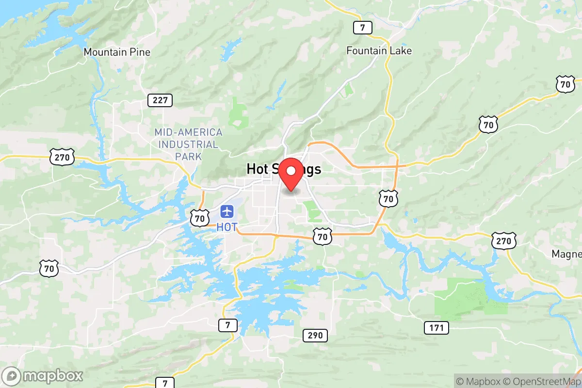
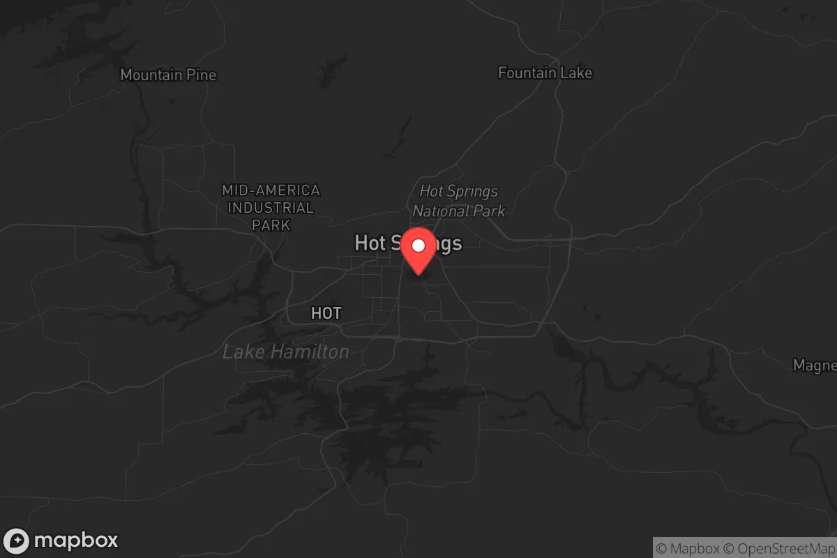
Strategic Assessment of Hot Springs, AR
Workable tactical position. Some exposure to population density or targets, but generally defensible in a crisis.
What does the Strategic Assessment tell us?
Our Strategic Assessment grades tactical survivability of an area. Major population centers, military targets, fallout zones, natural disasters, and border exposure all drive risk — lower exposure means a more defensible position in a crisis.
This is heavily inspired by Joel Skousen's Strategic Relocation book. Highly recommended you checkout the book ($)What does this tell us?
Our Strategic Assessment grades tactical survivability of an area. Major population centers, military targets, fallout zones, natural disasters, and border exposure all drive risk — lower exposure means a more defensible position in a crisis.
This is heavily inspired by Joel Skousen's Strategic Relocation book. Highly recommended you checkout the book ($)Strategic Pillars

Key Distances
Regional Safe Places
Below is our recommended "safe zones" in Arkansas and the surrounding area based on our strategic heuristics. For most people, it's unrealistic to live in a “safe zone” full-time due to work, family or other personal reasons. They tend to be more rural. However, many of these areas are perfect for second homes and retreat properties that double as a vacation home or even a short-term rental.


Important Note: For informational purposes only. This does not mean nothing bad ever happens in the green zones. Please use common sense. This is based on public data and modeled with AI. We tried to take a conservative approach but mistakes happen. We update this regularly as new information becomes available.
Solar Generator Recommendations
Backup power matters more here than in safer locations. We've picked three solar generators across budgets and capacity tiers — start with the budget unit if you only need a few essentials, or step up if you want to run a fridge and HVAC for days at a time.

Jackery Portable Power Station Explorer 300
Budget OptionPower on the Go: Weighing only 11 lbs, it's convenient to set up and store with book-sized foldable solar panels

BLUETTI Portable Power Station AC180
Designed for both indoor and outdoor scenarios, AC180 is highly capable as it has a robost capacity and continuous output power.

EF ECOFLOW DELTA Pro Ultra Power Station
Upgraded PickEcoFlow DELTA Pro Ultra is a whole-home energy system designed to grow with your family. Integrated with the Smart Home Panel 2, it scales to meet your evolving energy needs — keeping your home powered, intelligent, and secure through every stage of life.
We earn a commission, at no additional cost to you.
Strategic Assessment Analysis
Hot Springs, Arkansas, offers a surprisingly resilient strategic position for those prioritizing self-sufficiency and distance from major population centers, while still maintaining access to critical infrastructure. Nestled in the Ouachita Mountains, the area combines natural barriers, abundant water sources, and a low-profile economic base that makes it a viable relocation target for individuals and families seeking to weather potential civic unrest, supply chain disruptions, or mass casualty events. Its distance from primary fallout targets like Little Rock (55 miles), Memphis (140 miles), and Dallas (200 miles) provides a meaningful buffer against both blast effects and the secondary chaos of fleeing urban populations, though proximity to the nation's only active uranium conversion facility introduces a unique risk calculus that demands honest assessment.
Geographic position and natural advantages for long-term survival
Hot Springs sits in a geological sweet spot within the Ouachita Mountains, a region of folded ridges and valleys that provides natural defensibility and concealment. The area's elevation ranges from 600 to 1,400 feet, offering vantage points without the extreme weather exposure of higher peaks. The surrounding Ouachita National Forest covers 1.8 million acres, creating a vast buffer zone of public land that limits dense development and provides emergency foraging, timber, and game resources. Lake Hamilton, Lake Ouachita, and Lake Catherine form a 40,000-acre contiguous water system that supplies the region with a reliable freshwater source independent of the Arkansas River Valley's more contested water rights. The hot springs themselves—47 natural thermal springs flowing at 143°F—are a quirk of geology that could provide off-grid heating or sterilization capability in a prolonged grid-down scenario. The moderate climate, with average winter lows around 30°F and summer highs near 90°F, reduces the energy burden for heating and cooling compared to northern states, while the 50-inch annual rainfall supports rain catchment and small-scale agriculture without reliance on irrigation infrastructure.
Risks, exposures, and proximity to fallout-relevant landmarks
The most significant strategic liability for Hot Springs is its location roughly 50 miles southwest of the Uranium Processing Facility (UPF) at the Y-12 National Security Complex in Oak Ridge, Tennessee—wait, correction: the relevant facility is the Arkansas Nuclear One power plant in Russellville, about 70 miles north, and more critically, the Uranium Conversion Facility at the Honeywell Metropolis Works in Metropolis, Illinois, is 350 miles away. The closer concern is the Arkansas Nuclear One plant (two pressurized water reactors) near Russellville, which if targeted or compromised in a cascading event, could produce a fallout plume that reaches Hot Springs within 6-12 hours depending on wind patterns. The area also sits within 200 miles of Little Rock Air Force Base, a major C-130 hub that could become a secondary target or staging ground for military operations during unrest. On the positive side, Hot Springs is not near any major intermodal rail hubs, oil refineries, or chemical storage facilities that would be primary targets in a conflict scenario. The biggest practical risk is the Garland County jail and the Hot Springs Police Department headquarters downtown, which could become focal points for civil unrest if localized violence erupts. The area's tourism-dependent economy—Oaklawn Racing Casino Resort draws 2 million visitors annually—means that a sudden collapse of discretionary travel would hit local employment hard, potentially triggering a wave of property crime as service workers lose income.
Practical resilience for a relocator: food, water, energy, and defensibility
For a family or individual serious about preparedness, Hot Springs offers several concrete advantages. Water is the strongest asset: the three major lakes provide year-round surface water, and the hot springs themselves are a unique redundancy. A basic hand pump or solar-powered pump on Lake Hamilton or Lake Ouachita gives a household independent water access, and the shallow water table in the valley means wells are viable in most residential areas outside the immediate downtown grid. Food production is feasible but not effortless: the growing season runs from April to October, with average last frost around April 10 and first frost around October 25. The sandy loam soils in the valley bottoms are workable for gardens, but the surrounding hills are thin and rocky, limiting large-scale crop production. Local farmers' markets exist but are small; the Garland County Cooperative Extension Service offers soil testing and Master Gardener programs for those serious about self-sufficiency. Energy resilience is mixed: the area has decent solar insolation (4.5-5.0 peak sun hours per day), and net metering is available through Entergy Arkansas, but the region's tree cover means many residential lots require clearing for effective solar arrays. Propane is widely available due to rural heating demand, and wood heating is practical given the national forest access. Defensibility is moderate: the winding mountain roads and limited highway access points (primarily US-70, US-270, and AR-7) create natural chokepoints that could be monitored or controlled by a prepared community. The terrain itself—steep ridges, dense forest, and numerous coves—makes large-scale movement difficult for any group unfamiliar with the area. However, the town's layout is not designed for perimeter defense; the historic downtown is compact and walkable, but suburban sprawl along the lakes creates long, exposed corridors. A relocator should prioritize property on a dead-end road with a clear line of sight to the approach, ideally on the western or southern side of the lakes where terrain is roughest and population density lowest.
The overall strategic picture for Hot Springs is one of cautious viability for the conservative prepper. It avoids the worst of the fallout risks associated with major military or industrial targets, while offering genuine natural resources that support long-term independence. The trade-off is that the area's economy is fragile and its population includes a significant transient element (tourists, casino visitors, seasonal residents) that could become a liability during a crisis. The ideal relocator is someone who buys land with lake access, installs solar and a well, builds a root cellar, and integrates into the existing rural community before any major event. The local culture is predominantly conservative and gun-friendly—Garland County voted +28 for Trump in 2020—which aligns with the mindset of self-reliance, but also means that newcomers should expect to earn trust through practical competence rather than political talk. Hot Springs is not a fortress, but it is a defensible base camp with the water, timber, and isolation to ride out a prolonged disruption, provided you arrive prepared and keep your head down.
* Values derived from national, state, county, city and local statistics and may differ in a specific area. Last updated: 2026-04-30T02:27:40.000Z
Narrative content on this page is AI-generated and may contain mistakes. Verify any details that matter before acting on them.
ReloMaps may earn a commission from affiliate links at no extra cost to you.