
Photo: Wikipedia
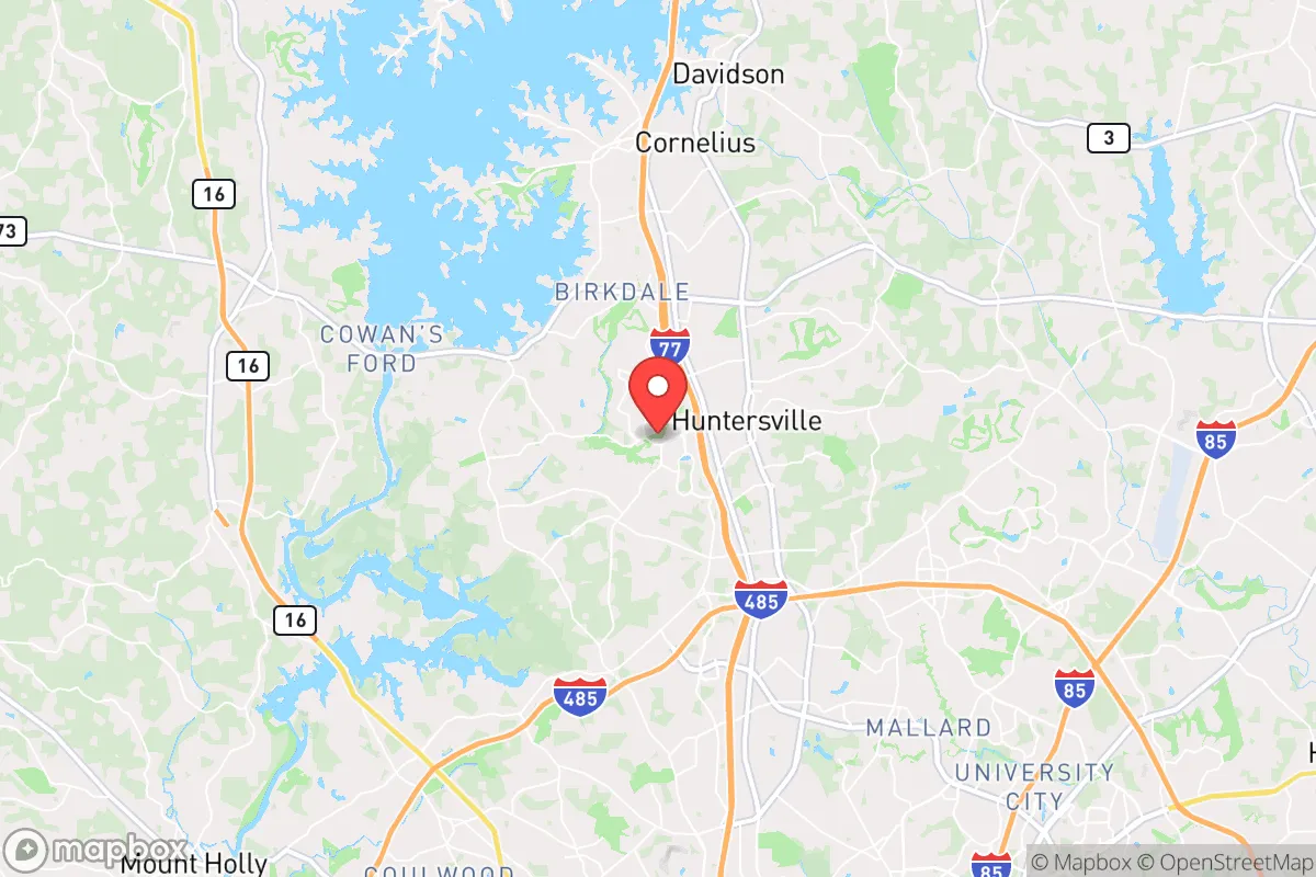
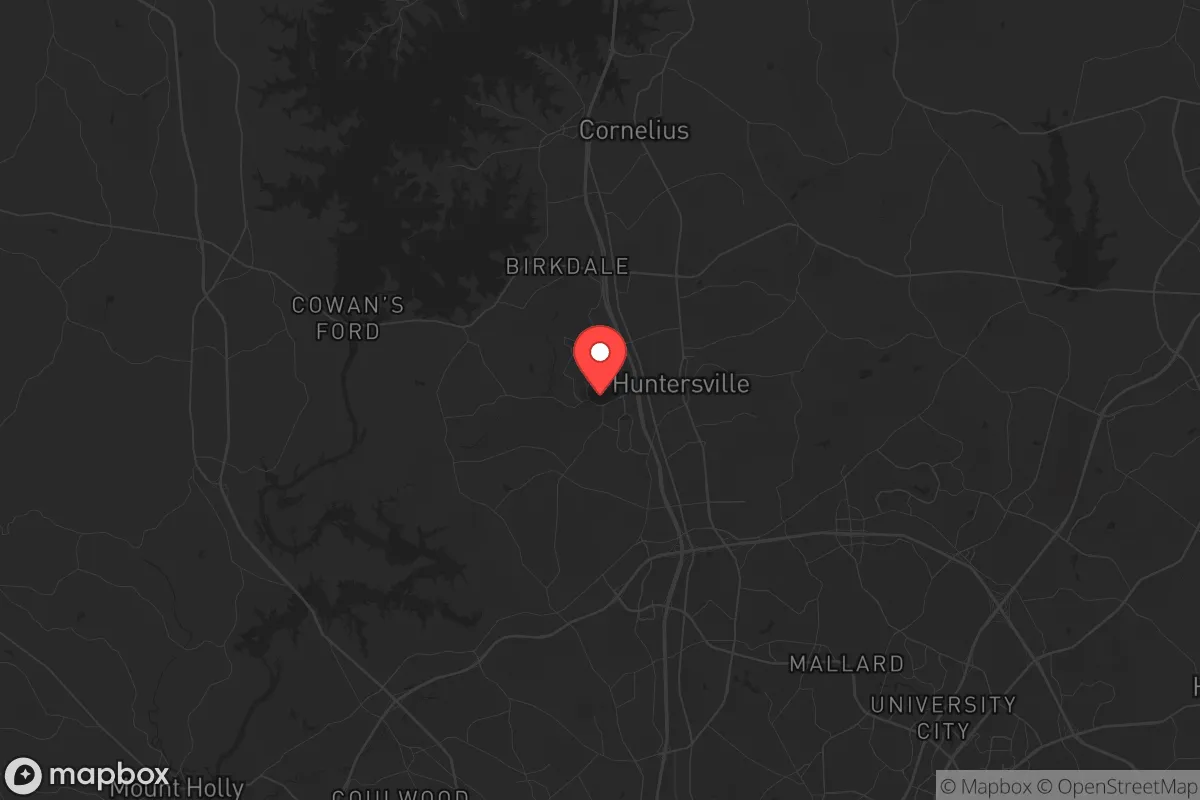
Strategic Assessment of Huntersville, NC
Multiple tactical vulnerabilities. Population density, target proximity, or disaster risk are likely compounding. A retreat property and exit planning is required.
What does the Strategic Assessment tell us?
Our Strategic Assessment grades tactical survivability of an area. Major population centers, military targets, fallout zones, natural disasters, and border exposure all drive risk — lower exposure means a more defensible position in a crisis.
This is heavily inspired by Joel Skousen's Strategic Relocation book. Highly recommended you checkout the book ($)What does this tell us?
Our Strategic Assessment grades tactical survivability of an area. Major population centers, military targets, fallout zones, natural disasters, and border exposure all drive risk — lower exposure means a more defensible position in a crisis.
This is heavily inspired by Joel Skousen's Strategic Relocation book. Highly recommended you checkout the book ($)Strategic Pillars

Key Distances
Regional Safe Places
Below is our recommended "safe zones" in North Carolina and the surrounding area based on our strategic heuristics. For most people, it's unrealistic to live in a “safe zone” full-time due to work, family or other personal reasons. They tend to be more rural. However, many of these areas are perfect for second homes and retreat properties that double as a vacation home or even a short-term rental.


Important Note: For informational purposes only. This does not mean nothing bad ever happens in the green zones. Please use common sense. This is based on public data and modeled with AI. We tried to take a conservative approach but mistakes happen. We update this regularly as new information becomes available.
Solar Generator Recommendations
Backup power matters more here than in safer locations. We've picked three solar generators across budgets and capacity tiers — start with the budget unit if you only need a few essentials, or step up if you want to run a fridge and HVAC for days at a time.

Jackery Portable Power Station Explorer 300
Budget OptionPower on the Go: Weighing only 11 lbs, it's convenient to set up and store with book-sized foldable solar panels

BLUETTI Portable Power Station AC180
Designed for both indoor and outdoor scenarios, AC180 is highly capable as it has a robost capacity and continuous output power.

EF ECOFLOW DELTA Pro Ultra Power Station
Upgraded PickEcoFlow DELTA Pro Ultra is a whole-home energy system designed to grow with your family. Integrated with the Smart Home Panel 2, it scales to meet your evolving energy needs — keeping your home powered, intelligent, and secure through every stage of life.
We earn a commission, at no additional cost to you.
Strategic Assessment Analysis
Huntersville, North Carolina, sits in a precarious strategic position that demands careful consideration for anyone prioritizing long-term security and self-sufficiency. Located just 12 miles north of Charlotte, this rapidly growing suburb of roughly 62,000 residents offers a mix of modern infrastructure and proximity to rural escape routes, but its very location near a major metropolitan hub introduces significant vulnerabilities. For the prepper or survivalist, Huntersville presents a classic trade-off: access to resources and community networks versus exposure to the cascading effects of urban collapse, mass casualty events, or grid-down scenarios. The area's resilience hinges on how well a relocator can leverage its geographic advantages while mitigating the risks inherent in being within the blast radius of a major city's potential fallout.
Geographic position and natural advantages for long-term security
Huntersville's location along the Catawba River and Lake Norman—the largest man-made lake in North Carolina—provides a critical water resource that many inland suburbs lack. Lake Norman spans over 32,000 acres with 520 miles of shoreline, offering both a sustainable freshwater source and potential for fishing, hydropower, and transportation if roads become impassable. The area sits in the Piedmont region, characterized by rolling hills and mixed hardwood forests, which provides natural cover and defensible terrain compared to flat, open plains. The climate is temperate, with four distinct seasons that support year-round gardening and livestock, though summers can be humid and winters occasionally icy. Huntersville's elevation around 800 feet above sea level reduces flood risk from hurricanes compared to coastal areas, and the region is far enough inland to avoid direct storm surge threats. The proximity to the Blue Ridge Mountains, roughly 90 minutes west, offers a secondary retreat option into higher, more remote terrain if the Charlotte metro area becomes untenable. For the relocator, the key natural advantage is the combination of abundant surface water, arable land in surrounding rural areas, and a climate that allows for extended growing seasons—factors that directly support long-term self-sufficiency.
Risks, exposures, and proximity to fallout-relevant landmarks
The single greatest strategic liability for Huntersville is its proximity to Charlotte, a major financial hub and transportation nexus. Charlotte is home to Bank of America's headquarters, a major international airport (CLT), and a sprawling energy grid that includes the McGuire Nuclear Station, located just 20 miles northwest of Huntersville on Lake Norman. In a mass casualty event or civil unrest scenario, Huntersville would be directly in the path of any evacuation or panic-driven exodus from Charlotte, as I-77 and I-485 funnel traffic through the area. The nuclear plant, while well-regulated, represents a low-probability but high-consequence risk: a containment breach or targeted attack could render large swaths of the Lake Norman region uninhabitable for decades. Additionally, Huntersville's rapid growth has led to dense suburban development, with many neighborhoods built on former farmland with limited natural barriers. This density makes the town a potential target for looting or organized crime during a breakdown of civil order, as suburban homes often contain visible assets like vehicles, generators, and food stores. The area also sits within 100 miles of Fort Bragg (now Fort Liberty), a major military installation that could become a focal point for federal operations during a national emergency, potentially drawing unwanted attention or restricting movement. For the prepper, the risk profile is clear: Huntersville offers good natural resources but is dangerously close to high-value targets and population centers that could collapse inward.
Practical resilience for a relocator: food, water, energy, and defensibility
For a relocator serious about self-sufficiency, Huntersville's practical resilience is a mixed bag. Water is the strongest asset: Lake Norman provides a virtually unlimited supply, but accessing it requires either direct lakefront property or a reliable means of transport and filtration. Most suburban homes in Huntersville are on municipal water from Charlotte Water, which is vulnerable to contamination or service disruption during a grid-down event. A well on private property is rare in newer subdivisions, so preppers should prioritize properties with existing wells or access to the lake. Food production is feasible but limited by lot sizes—typical suburban lots are 0.25 to 0.5 acres, which can support a substantial garden but not large-scale livestock. The surrounding rural areas in Mecklenburg and Iredell counties offer more acreage, but land prices have surged, with median home values around $500,000 as of 2025. Energy resilience is a bright spot: North Carolina has net metering policies that make solar installations viable, and the region's moderate sun exposure supports year-round generation. Battery backup systems are common in newer homes, and propane generators are widely available. Defensibility is the weakest link. Huntersville's suburban layout—curved streets, cul-de-sacs, and interconnected neighborhoods—makes it difficult to secure a perimeter without significant fortification. The town's police force is well-funded but would be overwhelmed in a widespread crisis. The best strategy for a relocator is to choose a property on the northern or western fringe of town, closer to Lake Norman and rural areas, with a single access point and natural barriers like tree lines or creeks. Community resilience is possible through local prepper groups and churches, but the transient nature of the population—many residents are corporate transplants—means trust and cooperation must be built deliberately.
The overall strategic picture for Huntersville is one of cautious opportunity for the prepared relocator. The area's natural advantages—abundant water, moderate climate, and proximity to mountain retreats—are genuine assets for long-term survival. However, the risks from Charlotte's urban sprawl, the nuclear plant, and the region's density cannot be ignored. Huntersville is not a bug-out location; it is a semi-urban buffer zone that requires active mitigation of external threats. For the conservative-leaning prepper who values community, economic opportunity, and access to resources while maintaining a low profile, Huntersville can work—but only with a clear-eyed plan for water independence, energy backup, and a defensible property. Those seeking true isolation should look further west into the mountains or east into the rural coastal plain. Huntersville is a compromise, and in a world of increasing uncertainty, compromises demand constant vigilance.
* Values derived from national, state, county, city and local statistics and may differ in a specific area. Last updated: 2026-04-24T14:55:51.000Z
Narrative content on this page is AI-generated and may contain mistakes. Verify any details that matter before acting on them.
ReloMaps may earn a commission from affiliate links at no extra cost to you.