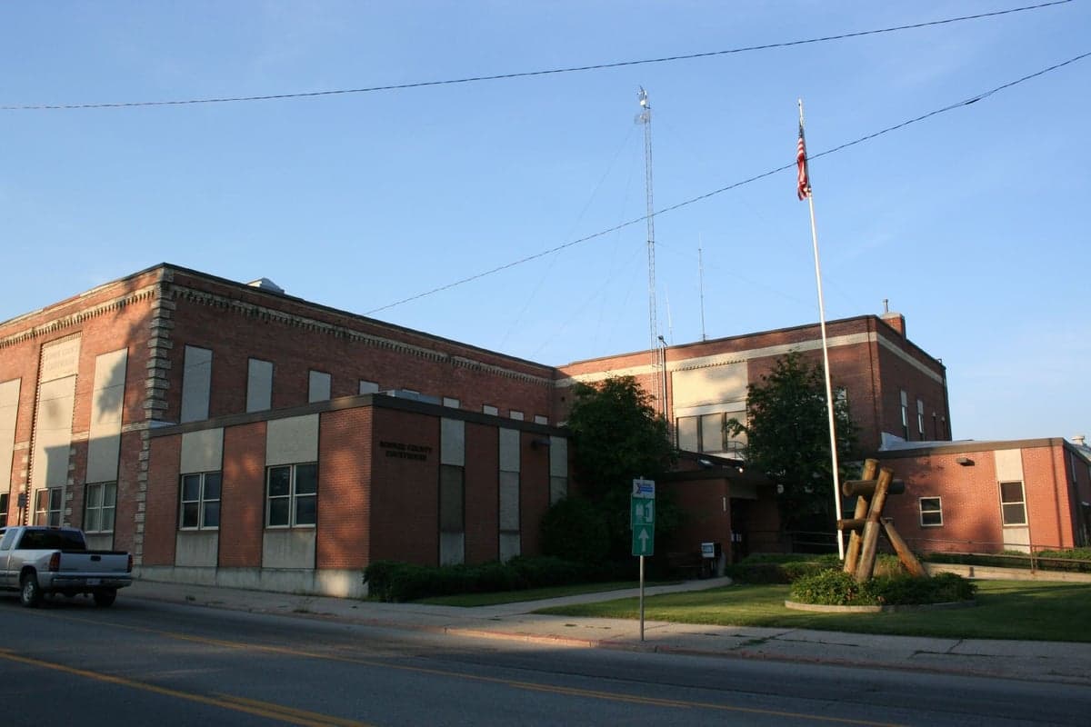
Photo: Wikipedia
Strategic Assessment of Bonner County
Strong survivability profile. Good buffer from population centers, with manageable environmental and tactical risks.
What does the Strategic Assessment tell us?
Our Strategic Assessment grades tactical survivability of an area. Major population centers, military targets, fallout zones, natural disasters, and border exposure all drive risk — lower exposure means a more defensible position in a crisis.
This is heavily inspired by Joel Skousen's Strategic Relocation book. Highly recommended you checkout the book ($)What does this tell us?
Our Strategic Assessment grades tactical survivability of an area. Major population centers, military targets, fallout zones, natural disasters, and border exposure all drive risk — lower exposure means a more defensible position in a crisis.
This is heavily inspired by Joel Skousen's Strategic Relocation book. Highly recommended you checkout the book ($)Strategic Pillars

Key Distances
Strategic Assessment Analysis
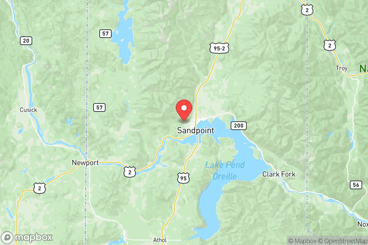
Bonner County, Idaho, offers a compelling mix of geographic isolation and practical self-sufficiency that appeals to relocation-minded individuals and families prioritizing long-term resilience. Situated in the Idaho Panhandle along the shores of Lake Pend Oreille and the Pend Oreille River, the county benefits from a location that is far removed from major metropolitan centers like Spokane (about 50 miles west) and Coeur d'Alene (about 40 miles south), yet still accessible via U.S. Highway 95 and U.S. Highway 2. The area’s rugged terrain, abundant natural resources, and low population density—roughly 47,000 residents spread over 1,920 square miles—create a buffer against many of the cascading risks associated with urban and industrial collapse. For a reader weighing disaster readiness and self-sufficiency, Bonner County presents a strategic base with notable advantages and some real, grounded trade-offs.
Geographic position and natural advantages for self-sufficiency
Bonner County’s geography is its strongest asset for resilience. The county is anchored by Lake Pend Oreille, one of the deepest and largest natural lakes in the western U.S., providing a reliable freshwater source for drinking, irrigation, and emergency supply. The surrounding Selkirk and Cabinet Mountains offer defensible terrain, with numerous valleys and forested areas that limit easy access for outsiders while supporting hunting, foraging, and timber resources. The town of Sandpoint, the county seat, sits at the lake’s northern edge and serves as a modest hub with essential services, but the majority of the county’s land is rural and sparsely developed. The Pend Oreille River flows westward through the county, offering additional water access and hydroelectric potential from the Albeni Falls Dam near Priest River. This dam, operated by the U.S. Army Corps of Engineers, provides a localized power source that could be leveraged in grid-down scenarios, though its vulnerability to targeted disruption is a consideration. The county’s position in the northern Rockies also means it is far from major seismic zones, hurricane paths, and tornado alleys, reducing exposure to frequent natural disasters that plague other regions.
Risks, exposures, and proximity to fallout-relevant landmarks
While Bonner County is geographically remote, it is not entirely insulated from man-made risks. The county lies roughly 100 miles northeast of Spokane, Washington, a regional population center with a major rail hub, an international airport, and the Fairchild Air Force Base (home to tanker aircraft and nuclear-capable bombers). A significant event at Fairchild or a major industrial accident in Spokane could produce fallout patterns that, depending on prevailing westerly winds, might affect eastern portions of Bonner County. Closer to home, the Albeni Falls Dam near Priest River is a critical infrastructure point; its failure or sabotage could disrupt the Pend Oreille River’s flow and impact downstream communities, though the dam’s design and regular maintenance reduce this risk. The county also has a small but active rail line running through Sandpoint, part of the BNSF Railway’s northern transcontinental route, which transports hazardous materials including crude oil and chemicals. A derailment or spill near the lake or river could contaminate local water supplies. Wildfire is the most immediate natural risk, with dry summers and dense forests creating conditions for fast-moving fires, particularly in the southern and western parts of the county near Clark Fork and Hope. However, the county’s low population density and abundant water sources mitigate the worst-case scenarios seen in more arid regions.
Practical resilience for a relocator: food, water, energy, and defensibility
For a relocator focused on self-sufficiency, Bonner County offers strong fundamentals. Water access is excellent: Lake Pend Oreille and the Pend Oreille River provide year-round surface water, and the region’s high annual precipitation (around 30 inches) supports rainwater catchment and well drilling. The growing season is short—roughly 90 to 120 frost-free days—but fertile valley soils near Dover and Kootenai allow for cold-hardy crops like potatoes, root vegetables, and grains, as well as livestock grazing on forested pastures. Local food production is supplemented by hunting (deer, elk, and small game) and fishing in the lake and rivers. Energy resilience is moderate: the grid is served by Avista Utilities and Bonner County Electric Cooperative, but the area’s mountainous terrain makes off-grid solar and micro-hydro setups viable for those with south-facing slopes or creek access. Wood heating is common, with ample timber for firewood. Defensibility is a key advantage—the county’s dispersed settlement pattern, with homes often set back from main roads and surrounded by forest, makes it difficult for large groups to approach unnoticed. The Sandpoint area has a small but active community of preppers and homesteaders, and local gun culture is strong, with open carry permitted and a high rate of firearm ownership. However, the county’s single major highway (U.S. 95) is a chokepoint; a blockage or disaster could isolate the area from outside supplies, making local stockpiling and community cooperation essential.
Overall, Bonner County presents a balanced strategic picture for the resilience-minded relocator. Its geographic isolation, abundant water, and defensible terrain offer a strong foundation for long-term self-sufficiency, while its exposure to regional infrastructure risks—particularly from Spokane and the BNSF rail line—requires thoughtful preparation. The county’s small-town character, with Sandpoint as a functional but not overdeveloped hub, supports a lifestyle that values independence and community ties. For a family or individual willing to invest in off-grid systems, local food production, and emergency planning, Bonner County ranks as a solid choice in the inland Northwest, provided they account for wildfire season and the realities of living in a remote, mountainous region.

* Values derived from national, state, county, city and local statistics and may differ in a specific area. Last updated: 2026-08-08T12:20:16.000Z
Narrative content on this page is AI-generated and may contain mistakes. Verify any details that matter before acting on them.
ReloMaps may earn a commission from affiliate links at no extra cost to you.

