Photo: Wikipedia
Strategic Assessment of Rock Island County
Meaningful friction. Expect exposure to either population pressure, blast zones, or natural disaster risk. Consider buying a retreat property.
What does the Strategic Assessment tell us?
Our Strategic Assessment grades tactical survivability of an area. Major population centers, military targets, fallout zones, natural disasters, and border exposure all drive risk — lower exposure means a more defensible position in a crisis.
This is heavily inspired by Joel Skousen's Strategic Relocation book. Highly recommended you checkout the book ($)What does this tell us?
Our Strategic Assessment grades tactical survivability of an area. Major population centers, military targets, fallout zones, natural disasters, and border exposure all drive risk — lower exposure means a more defensible position in a crisis.
This is heavily inspired by Joel Skousen's Strategic Relocation book. Highly recommended you checkout the book ($)Strategic Pillars

Key Distances
Strategic Assessment Analysis
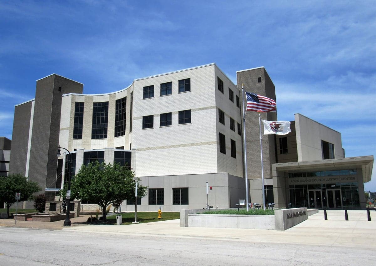
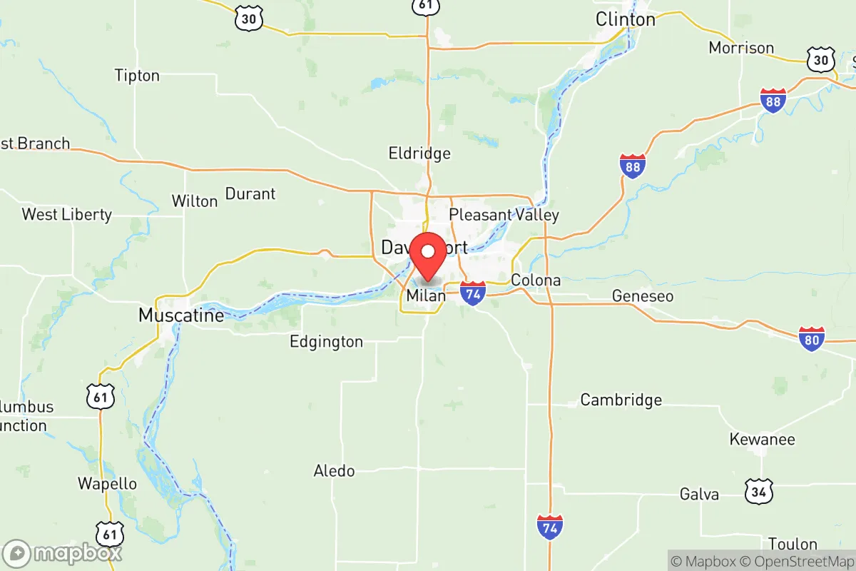
Rock Island County, Illinois, occupies a strategic position along the Mississippi River that offers a blend of natural defensibility and logistical access, making it a noteworthy consideration for relocation-minded individuals and families who prioritize resilience and self-sufficiency. The county, anchored by the cities of Rock Island, Moline, and East Moline, sits at the convergence of the Mississippi and Rock Rivers, providing both a natural barrier and a historic transportation corridor. While not remote, the area’s location in the Quad Cities region places it roughly 160 miles west of Chicago and 140 miles east of Des Moines, offering a buffer from the immediate fallout zones of major metropolitan centers while still maintaining access to essential supply chains and medical infrastructure.
Geographic position and natural advantages for long-term stability
The Mississippi River forms the county’s western boundary, creating a significant natural obstacle that complicates approach from that direction, while the Rock River cuts through the county’s interior, offering additional defensible terrain. The surrounding landscape is predominantly agricultural, with flat to gently rolling farmland that supports local food production and reduces the risk of wildfires common in more arid regions. The county’s elevation, averaging around 580 feet above sea level, provides modest high ground relative to the river valleys, though much of the developed area sits on floodplains. The proximity to the Rock Island Arsenal, a major U.S. Army manufacturing and logistics center on an island in the Mississippi, adds a layer of federal infrastructure that could serve as a stability anchor during disruptions, though it also represents a potential target. The Quad Cities International Airport in Moline and the intersection of Interstates 80, 74, and 280 provide redundant transportation links, which are critical for evacuation or supply movement in a crisis scenario.
Risks, exposures, and proximity to fallout-relevant landmarks
Rock Island County’s resilience profile is tempered by several notable exposures. The Rock Island Arsenal, while economically vital, is a high-value military installation that could become a primary or secondary target in a conflict scenario, drawing risk to the surrounding communities. The county lies within 100 miles of the Clinton Power Station, a nuclear power plant in DeWitt County, Iowa, and roughly 150 miles from the Dresden Generating Station in Morris, Illinois, both of which present radiological risk in the event of an accident or attack. The Mississippi River itself, while a defensive asset, also poses a chronic flood risk, with major inundation events in 1993, 2008, and 2019 causing significant damage to low-lying areas in Rock Island and Moline. The county’s industrial corridor along the river includes chemical storage and manufacturing facilities that could release hazardous materials during a natural disaster or infrastructure failure. Additionally, the region’s position within the Quad Cities metropolitan area (population roughly 380,000) means it is not isolated, and a major disruption in Chicago or the broader Midwest could send displaced populations westward along I-80, straining local resources.
Practical resilience for a relocator: food, water, energy, and defensibility
For a relocator focused on self-sufficiency, Rock Island County offers a mixed but workable environment. The surrounding agricultural land produces corn, soybeans, and livestock, and the county has a robust network of local farmers’ markets and small-scale producers in communities like Port Byron and Hampton, which can support decentralized food sourcing. The Mississippi River provides an abundant and reliable freshwater source, though treatment infrastructure is centralized and vulnerable to disruption; private wells are common in rural areas and offer a more resilient alternative. The energy grid is connected to the Midcontinent Independent System Operator (MISO) network, which has faced strain during extreme weather events, but the presence of the Quad Cities Generating Station (a natural gas plant in Cordova, just north of the county) and the nearby Rush Island Energy Center in Missouri provide regional generation capacity. Defensibility is moderate: the river barriers and agricultural open space limit approach vectors, but the county’s dense suburban and urban pockets in Rock Island and Moline would be difficult to secure. Rural properties in the county’s eastern and southern townships, such as Coal Valley and Reynolds, offer better spacing, lower population density, and easier access to farmland and well water, making them more suitable for a preparedness-oriented household.
Overall, Rock Island County presents a strategic middle ground for the resilience-minded relocator: it avoids the extreme risks of coastal or major metropolitan areas while retaining the infrastructure and resources needed for long-term stability. The presence of the Rock Island Arsenal and the Mississippi River are double-edged assets that require careful site selection, particularly avoiding flood zones and maintaining distance from industrial and military concentrations. For a family or individual willing to invest in private water, renewable energy, and a rural property in the county’s less developed townships, the area offers a defensible, resource-rich base with reasonable proximity to medical and supply networks. The key is to choose a location that leverages the natural advantages of the rivers and farmland while minimizing exposure to the county’s concentrated risk points.

* Values derived from national, state, county, city and local statistics and may differ in a specific area. Last updated: 2026-08-08T13:18:46.000Z
Narrative content on this page is AI-generated and may contain mistakes. Verify any details that matter before acting on them.
ReloMaps may earn a commission from affiliate links at no extra cost to you.

