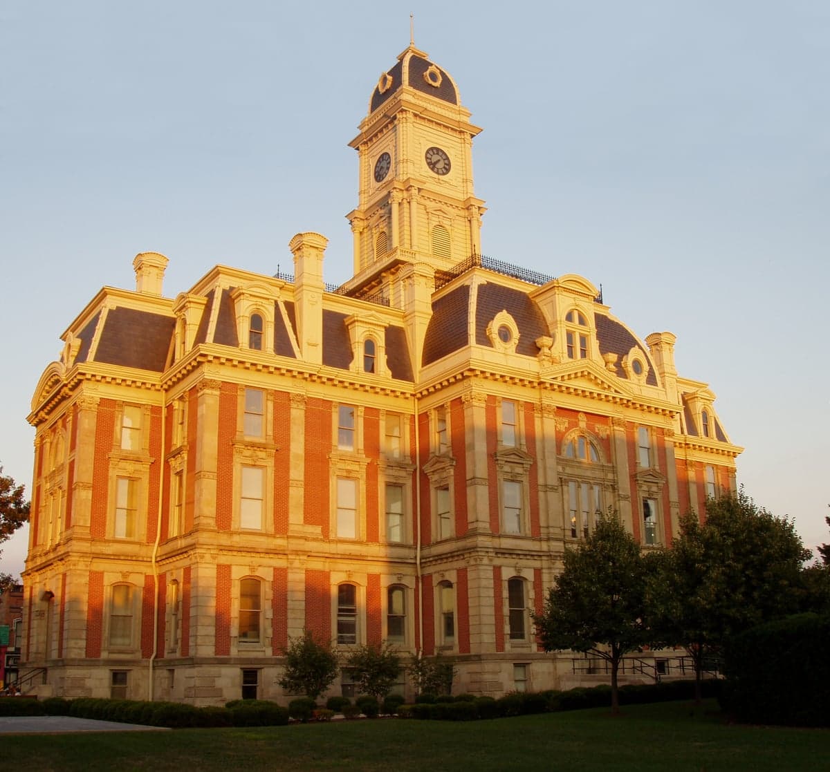
Photo: Wikipedia
Strategic Assessment of Hamilton County
Meaningful friction. Expect exposure to either population pressure, blast zones, or natural disaster risk. Consider buying a retreat property.
What does the Strategic Assessment tell us?
Our Strategic Assessment grades tactical survivability of an area. Major population centers, military targets, fallout zones, natural disasters, and border exposure all drive risk — lower exposure means a more defensible position in a crisis.
This is heavily inspired by Joel Skousen's Strategic Relocation book. Highly recommended you checkout the book ($)What does this tell us?
Our Strategic Assessment grades tactical survivability of an area. Major population centers, military targets, fallout zones, natural disasters, and border exposure all drive risk — lower exposure means a more defensible position in a crisis.
This is heavily inspired by Joel Skousen's Strategic Relocation book. Highly recommended you checkout the book ($)Strategic Pillars

Key Distances
Strategic Assessment Analysis
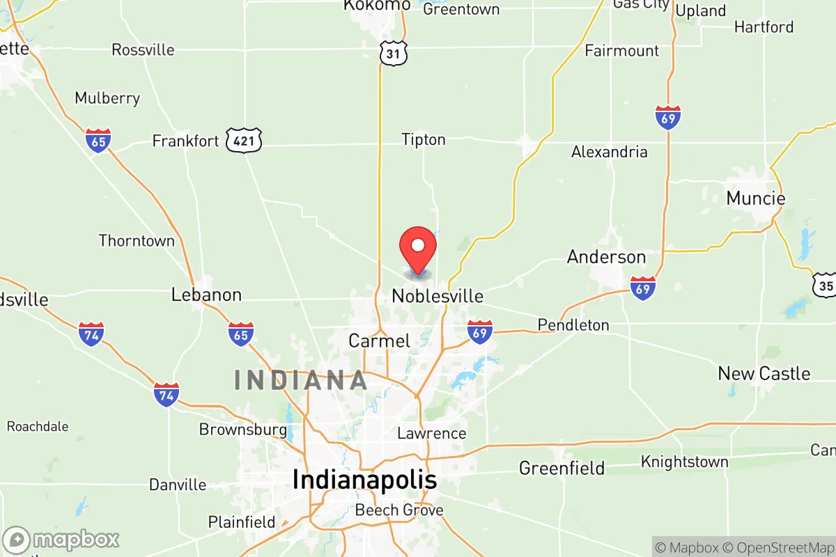
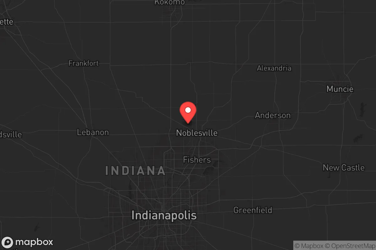
Hamilton County, Indiana, sits in a strategic sweet spot that few Midwestern locations can match: close enough to Indianapolis to access its infrastructure and job market, but far enough north to avoid the worst of the city’s potential unrest, gridlock, or disaster fallout. The county’s resilience stems from its position along the White River corridor and its status as one of the fastest-growing areas in the state, with a population that has more than doubled since 2000 to over 350,000 residents. For a relocator thinking long-term—about civic stability, resource security, and the ability to weather national-level disruptions—this is a place that rewards preparation without requiring a complete off-grid retreat.
Geographic position and natural advantages for long-term stability
Hamilton County occupies the northern tier of the Indianapolis metropolitan area, with its seat at Noblesville and major population centers in Carmel, Fishers, and Westfield. The county’s geography is defined by the White River, which flows south through the center of the county, providing a reliable freshwater source and a natural corridor for wildlife and movement. The terrain is gently rolling glacial till, with no floodplains that would threaten most developed areas—though the river’s floodplain is well-mapped and largely avoided by newer construction. The county sits atop the Burlington Limestone aquifer, which yields good-quality groundwater at moderate depths, a critical advantage if municipal systems are compromised. The area’s natural advantages include low seismic risk, no hurricane or tornado alley designation (though severe thunderstorms are common), and a climate that supports four-season agriculture. The county’s position roughly 20 miles north of downtown Indianapolis means it is far enough from the urban core to avoid the worst of a city-scale collapse, yet close enough to access the Indianapolis International Airport and the state’s major north-south artery, I-69, which runs through the county’s eastern edge.
Risks, exposures, and proximity to fallout-relevant landmarks
No location is without risk, and Hamilton County’s proximity to Indianapolis is the primary exposure. The city is home to the Indianapolis Motor Speedway—a potential mass-casualty target for symbolic attacks—and the Eli Lilly and Company headquarters, a major pharmaceutical facility that could be a target for industrial sabotage or a source of hazardous material release. The county also lies within 50 miles of the Grissom Air Reserve Base in Miami County, a military installation that could become a staging area during national emergencies, drawing unwanted attention. The White River itself is a double-edged sword: it provides water but also carries potential contamination from upstream industrial sites in Muncie and Anderson. The county’s major highways—I-69, I-465, and US 31—are evacuation and supply routes that could become chokepoints during a crisis. The Carmel and Fishers suburbs are dense enough that a civil unrest event in Indianapolis could spill over, though the county’s strong local law enforcement and relatively homogeneous population (over 85% white, with a median household income above $100,000) suggest a lower likelihood of widespread disorder. The Noblesville area, with its more rural character and lower population density, offers a better buffer zone for those seeking to minimize exposure.
Practical resilience for a relocator: food, water, energy, and defensibility
For a relocator focused on practical preparedness, Hamilton County offers a mix of suburban convenience and rural capability. The county has over 200 farms, with significant corn, soybean, and livestock operations concentrated in the northern and western townships—Adams Township and Washington Township are particularly productive. Local food access is strong: the Hamilton County Farmers Market in Noblesville operates year-round, and the county’s position in the Indiana corn belt means grain and feed are available locally. Water security is reasonable: the White River provides surface water, and the aquifer beneath the county is accessible via private wells in rural areas. The county’s municipal water systems are well-maintained, but a relocator with a well on a rural property would have a significant advantage. Energy infrastructure is robust, with Duke Energy providing electricity from a mix of coal, natural gas, and renewables. The county has no major refineries or power plants within its borders, reducing the risk of industrial accidents. Defensibility is a mixed picture: the county’s suburban areas are open and interconnected, making them hard to secure, but the northern and eastern rural areas offer more isolated properties with tree lines and limited road access. The Morse Reservoir and Geist Reservoir provide recreational water sources and potential emergency water supplies, though they are also popular areas that could attract crowds during a crisis. The county’s strong local government and well-funded emergency services—including the Hamilton County Sheriff’s Office and multiple volunteer fire departments—are a net positive for stability.
The overall strategic picture for Hamilton County is one of calculated advantage. It is not a remote survivalist redoubt, but it is a place where a prepared individual or family can build a resilient life without sacrificing access to modern amenities. The county’s economic strength, low crime rates, and conservative-leaning governance (the county voted +15 for Trump in 2020) align with a prepper mindset that values self-reliance and community stability. The key is to choose your location within the county carefully: avoid the dense suburban cores of Carmel and Fishers if you want to minimize exposure to urban spillover, and instead target the northern townships around Atlanta or Sheridan, where land is cheaper, water is easier to secure, and the buffer from Indianapolis is greater. The White River corridor offers both opportunity and risk—use it as a resource, but plan for contamination scenarios. In a world where the next crisis could come from any direction, Hamilton County gives you a solid foundation to build on, not a guarantee of safety. The smart move is to treat it as a base of operations, not a fortress, and to invest in the relationships and skills that will matter when the grid flickers.
* Values derived from national, state, county, city and local statistics and may differ in a specific area. Last updated: 2026-06-05T07:53:33.000Z
Narrative content on this page is AI-generated and may contain mistakes. Verify any details that matter before acting on them.
ReloMaps may earn a commission from affiliate links at no extra cost to you.