Photo: Wikipedia
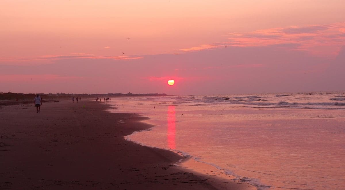
Strategic Assessment of Isle of Palms, SC
Meaningful friction. Expect exposure to either population pressure, blast zones, or natural disaster risk. Consider buying a retreat property.
What does the Strategic Assessment tell us?
Our Strategic Assessment grades tactical survivability of an area. Major population centers, military targets, fallout zones, natural disasters, and border exposure all drive risk — lower exposure means a more defensible position in a crisis.
This is heavily inspired by Joel Skousen's Strategic Relocation book. Highly recommended you checkout the book ($)What does this tell us?
Our Strategic Assessment grades tactical survivability of an area. Major population centers, military targets, fallout zones, natural disasters, and border exposure all drive risk — lower exposure means a more defensible position in a crisis.
This is heavily inspired by Joel Skousen's Strategic Relocation book. Highly recommended you checkout the book ($)Strategic Pillars

Key Distances
Regional Safe Places
Below is our recommended "safe zones" in South Carolina and the surrounding area based on our strategic heuristics. For most people, it's unrealistic to live in a “safe zone” full-time due to work, family or other personal reasons. They tend to be more rural. However, many of these areas are perfect for second homes and retreat properties that double as a vacation home or even a short-term rental.


Important Note: For informational purposes only. This does not mean nothing bad ever happens in the green zones. Please use common sense. This is based on public data and modeled with AI. We tried to take a conservative approach but mistakes happen. We update this regularly as new information becomes available.
Solar Generator Recommendations
Backup power matters more here than in safer locations. We've picked three solar generators across budgets and capacity tiers — start with the budget unit if you only need a few essentials, or step up if you want to run a fridge and HVAC for days at a time.

Jackery Portable Power Station Explorer 300
Budget OptionPower on the Go: Weighing only 11 lbs, it's convenient to set up and store with book-sized foldable solar panels

BLUETTI Portable Power Station AC180
Designed for both indoor and outdoor scenarios, AC180 is highly capable as it has a robost capacity and continuous output power.

EF ECOFLOW DELTA Pro Ultra Power Station
Upgraded PickEcoFlow DELTA Pro Ultra is a whole-home energy system designed to grow with your family. Integrated with the Smart Home Panel 2, it scales to meet your evolving energy needs — keeping your home powered, intelligent, and secure through every stage of life.
We earn a commission, at no additional cost to you.
Strategic Assessment Analysis
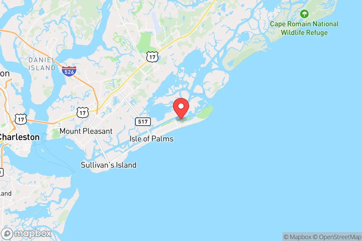
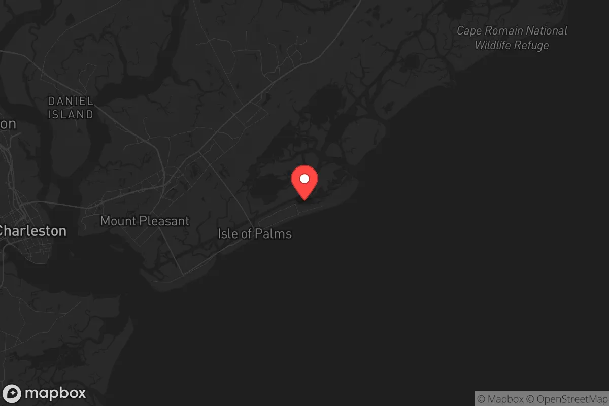
Isle of Palms, South Carolina, presents a paradox for the strategic relocator operating from a survivalist mindset: it offers a coastal buffer from mainland chaos while simultaneously introducing single-point-of-failure vulnerabilities that could turn the island into a trap. Located just 12 miles east of Charleston, this barrier island provides oceanfront isolation and abundant natural resources, but its resilience is heavily dependent on infrastructure that can be severed in a single storm or civil disturbance. For the conservative prepper concerned with civic unrest, mass casualty events, and systemic collapse, understanding the trade-offs between seclusion and exposure is critical before committing to this location.
Geographic position and natural advantages for long-term security
Isle of Palms sits on a seven-mile-long, one-mile-wide barrier island bounded by the Atlantic Ocean to the east and the Intracoastal Waterway to the west. This geography naturally limits access: the only road onto the island is the Isle of Palms Connector, a two-lane bridge from Mount Pleasant, with a secondary route via the Ben Sawyer Bridge to Sullivan’s Island. In a defensive scenario, controlling these two choke points could secure the island against a large-scale incursion, but it also means any retreat or resupply must pass through those same bottlenecks. The surrounding salt marshes and tidal creeks provide a natural obstacle to foot traffic, and the ocean side offers no cover for approaching vessels, giving residents a clear field of fire if necessary. The island’s proximity to the Francis Marion National Forest, roughly 20 miles north, provides a wilderness buffer and potential foraging grounds, though access requires crossing the mainland. The mild coastal climate supports year-round gardening, and the surrounding waters are rich in fish, shrimp, and crabs, offering a reliable protein source for those with the means to harvest them. However, the island’s average elevation is only 10 feet above sea level, making it vulnerable to storm surge and long-term sea-level rise—a factor that cannot be ignored in a multi-decade strategic plan.
Risks, exposures, and proximity to fallout-relevant landmarks
The most immediate threat is hurricane landfall. Mandatory evacuation orders are common, and the single evacuation route—the Isle of Palms Connector—can become gridlocked within hours. During a major event, residents who delay leaving may find themselves trapped on the island with limited shelter options. Beyond weather, the island’s proximity to Charleston introduces significant secondary risks. Charleston hosts the Naval Weapons Station Charleston, Joint Base Charleston, and a major container port—all high-value targets in a conflict or terrorist scenario. Prevailing winds in the region shift seasonally, but during the winter months, northwesterly winds could carry fallout or airborne contaminants from the Charleston area directly toward the island. In a civil unrest scenario, Charleston’s population of roughly 150,000 (metro area over 800,000) could generate waves of refugees seeking coastal refuge, overwhelming the island’s limited resources. The island’s only hospital, East Cooper Medical Center, is located in Mount Pleasant, not on the island itself, meaning any serious medical emergency requires crossing the bridge—a route that could be blocked or dangerous during a crisis. Additionally, the island’s economy is heavily dependent on tourism; during the summer months, the population swells with outsiders, increasing the risk of opportunistic crime and making it harder to identify threats. Off-season, the island empties out, leaving a small year-round community that may lack the numbers to defend the perimeter effectively.
Practical resilience for a relocator: food, water, energy, and defensibility
Food self-sufficiency on Isle of Palms is limited. The sandy soil and salt spray make traditional gardening challenging without raised beds or greenhouses. Most residents rely on grocery stores in Mount Pleasant, which themselves depend on supply chains that could fail during a regional emergency. Fishing and crabbing are viable, but require knowledge, equipment, and access to the water—something that becomes more difficult if the island is under stress. Water is a critical vulnerability: the municipal supply comes from the Charleston Water System via a pipeline that runs under the Isle of Palms Connector. If that bridge or pipeline is damaged—by storm, earthquake, or sabotage—the island has no backup freshwater source. Groundwater is brackish and undrinkable without reverse osmosis, which requires electricity and maintenance. Desalination units are an option but are expensive and energy-intensive. Speaking of energy, the island’s power grid is prone to outages during storms and is connected via overhead lines that cross the same vulnerable bridge. Solar panels are a practical supplement, but many homeowners’ associations restrict their installation, and battery storage is necessary for nighttime and cloudy days. Defensibility is a mixed bag: the island’s limited access points make it relatively easy to secure against a large group, but a determined small team could also bottle up residents by controlling the bridge. For a relocator with a boat, the Intracoastal Waterway provides an escape route to the north or south, but that requires a vessel, fuel, and a safe destination. The year-round community is affluent and not prepper-oriented; in a crisis, many will evacuate, leaving empty homes that could attract looters. Establishing a mutual-assistance network with like-minded neighbors is essential but difficult given the transient population.
Overall, Isle of Palms offers a high quality of life in stable times but presents significant strategic liabilities for the serious prepper. Its isolation from the mainland is a double-edged sword: it provides a defensible perimeter but also creates a dependency on fragile infrastructure and a single evacuation route. For the conservative relocator who values oceanfront living and is willing to invest heavily in self-sufficiency—solar, water storage, a boat, and a well-stocked armory—the island could serve as a temporary retreat during a short-term crisis. However, for long-term resilience in the face of systemic collapse, the risks of coastal living and urban proximity likely outweigh the benefits. Inland locations in South Carolina’s Upstate or the Sandhills region offer better defensibility, more reliable water sources, and lower exposure to hurricane and fallout threats, making them a more prudent choice for those planning for the worst while hoping for the best.
* Values derived from national, state, county, city and local statistics and may differ in a specific area. Last updated: 2026-05-14T18:51:38.000Z
Narrative content on this page is AI-generated and may contain mistakes. Verify any details that matter before acting on them.
ReloMaps may earn a commission from affiliate links at no extra cost to you.