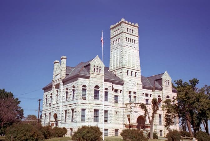
Photo: Wikipedia
Strategic Assessment of Geary County
Strong survivability profile. Good buffer from population centers, with manageable environmental and tactical risks.
What does the Strategic Assessment tell us?
Our Strategic Assessment grades tactical survivability of an area. Major population centers, military targets, fallout zones, natural disasters, and border exposure all drive risk — lower exposure means a more defensible position in a crisis.
This is heavily inspired by Joel Skousen's Strategic Relocation book. Highly recommended you checkout the book ($)What does this tell us?
Our Strategic Assessment grades tactical survivability of an area. Major population centers, military targets, fallout zones, natural disasters, and border exposure all drive risk — lower exposure means a more defensible position in a crisis.
This is heavily inspired by Joel Skousen's Strategic Relocation book. Highly recommended you checkout the book ($)Strategic Pillars

Key Distances
Strategic Assessment Analysis
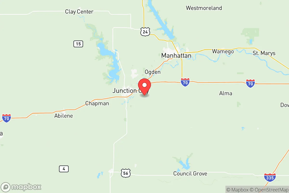
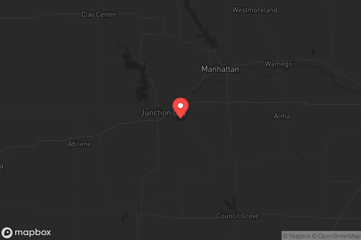
Geary County, Kansas, offers a strategic relocation option for those prioritizing resilience and self-sufficiency, anchored by the stable presence of Fort Riley and its distance from major metropolitan chaos. Located roughly 130 miles west of Kansas City and 60 miles west of Topeka, this area sits outside the immediate blast and fallout zones of major population centers while still providing access to regional supply chains via I-70. The county’s population of roughly 34,000, centered around Junction City and the military base, creates a community where preparedness isn’t fringe—it’s a practical reality for many families tied to the armed forces.
Geographic position and natural advantages for long-term security
Geary County sits at the junction of the Kansas River and the Republican River, providing a reliable surface water source that many drier parts of the Plains lack. The surrounding Flint Hills region offers rugged terrain that naturally limits large-scale movement, making the area more defensible than open prairie to the west. The county’s position along I-70 gives residents a direct east-west evacuation or supply route, while the lack of major interstate junctions nearby means less traffic congestion during a crisis. Fort Riley’s 100,000-plus acres of training land act as a buffer zone to the north and east, reducing the likelihood of suburban sprawl or unwanted development that could compromise a prepper’s operational security. The local climate supports three-season gardening, with average annual rainfall around 32 inches—enough for rain catchment systems to supplement well water, which is the norm for rural properties outside Junction City.
Risks, exposures, and proximity to fallout-relevant landmarks
The primary risk in Geary County is its proximity to Fort Riley, which, while a stabilizing force, could become a target during a major conflict or civil unrest. The base houses the 1st Infantry Division and its associated equipment, including heavy armor and aviation assets, making it a high-value military target in any conventional war scenario. Fallout from a strike on Fort Riley would affect much of the county, particularly areas within 10 miles of the base’s central cantonment. Additionally, the county sits within 200 miles of the Kansas City metropolitan area (2.2 million people) and the Wichita area (650,000), both of which could generate large refugee flows during a collapse. The nearby Jeffrey Energy Center, a coal-fired power plant in St. Marys (about 20 miles southeast), is a potential industrial hazard if damaged, though it’s not a nuclear facility. Tornado risk is real—Geary County averages 12 tornado warnings per year—so any retreat property must include a storm shelter or reinforced basement.
Practical resilience for a relocator: food, water, energy, and defensibility
For those serious about self-sufficiency, Geary County offers several concrete advantages. Water access is strong: the Republican River and its tributaries run through the county, and the underlying Ogallala Aquifer’s eastern edge provides decent well yields (typically 10-30 gallons per minute) in the western part of the county. Rural properties often come with existing wells and septic systems, reducing the need for costly retrofits. The Flint Hills’ limestone bedrock makes digging root cellars and bunkers feasible, though blasting may be required for deep structures. Local agriculture is dominated by cattle ranching and row crops (wheat, corn, soybeans), meaning barter networks for food are plausible if you build relationships with area farmers. Junction City has a strong local food scene with farmers’ markets and a co-op, but for bulk prepping, the Walmart and Aldi in town are your main options—plan to stock up from regional suppliers in Manhattan (15 miles west) or Topeka for specialty gear. Energy resilience is straightforward: the area gets 260 sunny days per year, making solar panels viable, and many rural homes already use propane for heating and cooking, which can be stored in bulk tanks. Defensibility is aided by the rolling hills and creek bottoms that provide natural cover; properties along the Kansas River bluffs offer good vantage points. The county’s low population density (about 45 people per square mile) means you can have acreage without neighbors within rifle range, but be aware that the area around Junction City and Grandview Plaza is more suburban and less secure.
The overall strategic picture for Geary County is one of calculated trade-offs. You get a stable military community that values order and preparedness, solid water resources, and a location that’s far enough from major cities to avoid the worst of a collapse’s initial wave, yet close enough to access supplies and medical care at Fort Riley’s Irwin Army Community Hospital. The downsides are real: the base is a target, tornadoes are a seasonal threat, and the local economy is heavily dependent on federal spending, which could be disrupted. For a relocator willing to invest in a well, solar, and a reinforced shelter, Geary County offers a middle-ground option that balances accessibility with security—better than being deep in the sticks with no support network, but not as remote as the western Kansas counties. The key is to buy property at least 15 miles from the base’s main gates and to establish ties with the local ranching community before any crisis hits. If you’re looking for a place where your neighbors are likely to have a gun safe and a generator, and where the county sheriff’s office isn’t defunded, this is a solid bet.
* Values derived from national, state, county, city and local statistics and may differ in a specific area. Last updated: 2026-05-28T09:52:51.000Z
Narrative content on this page is AI-generated and may contain mistakes. Verify any details that matter before acting on them.
ReloMaps may earn a commission from affiliate links at no extra cost to you.