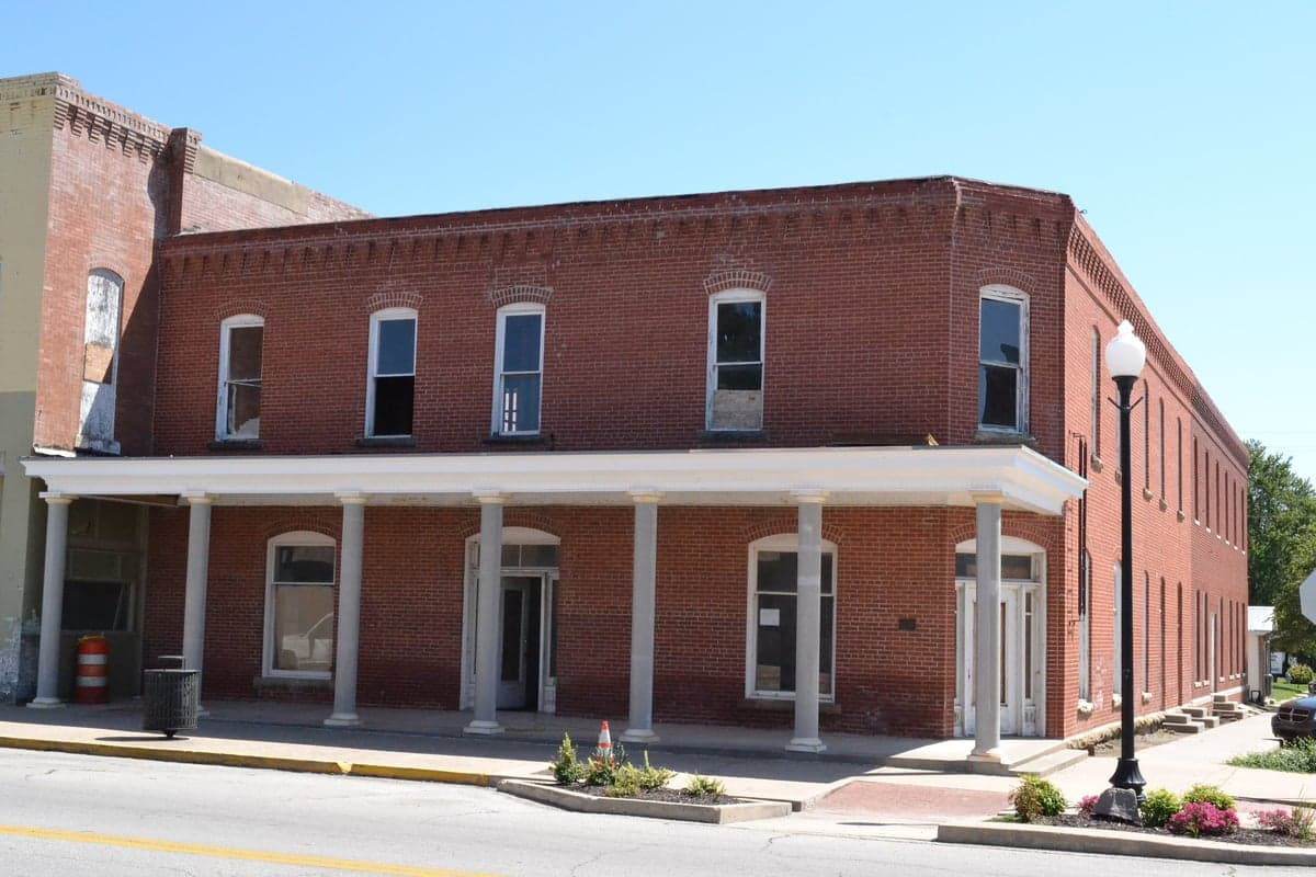
Photo: Wikipedia
Strategic Assessment of Wilson County
Strong survivability profile. Good buffer from population centers, with manageable environmental and tactical risks.
What does the Strategic Assessment tell us?
Our Strategic Assessment grades tactical survivability of an area. Major population centers, military targets, fallout zones, natural disasters, and border exposure all drive risk — lower exposure means a more defensible position in a crisis.
This is heavily inspired by Joel Skousen's Strategic Relocation book. Highly recommended you checkout the book ($)What does this tell us?
Our Strategic Assessment grades tactical survivability of an area. Major population centers, military targets, fallout zones, natural disasters, and border exposure all drive risk — lower exposure means a more defensible position in a crisis.
This is heavily inspired by Joel Skousen's Strategic Relocation book. Highly recommended you checkout the book ($)Strategic Pillars

Key Distances
Strategic Assessment Analysis
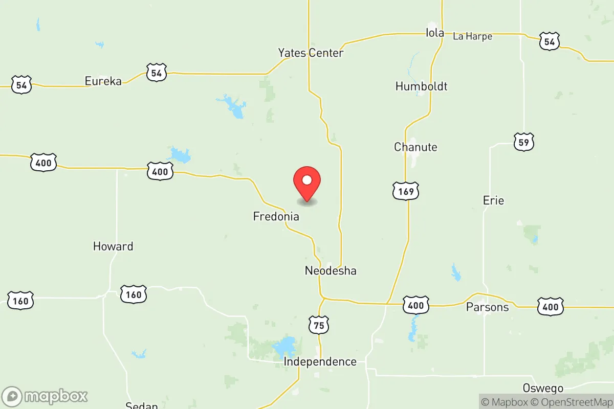
Wilson County, Kansas, offers a strategic relocation option for those prioritizing resilience, self-sufficiency, and distance from major metropolitan vulnerabilities. Located in the southeastern corner of the state, the county's seat, Fredonia, sits roughly 90 miles from the Wichita metro area and 120 miles from Tulsa, Oklahoma—close enough for supply runs but far enough to avoid the cascading failures of a major urban collapse. The county's low population density (roughly 8,500 residents spread across 575 square miles) and agricultural economic base provide a foundation for long-term stability that appeals to families and individuals thinking seriously about disaster preparedness.
Geographic position and natural advantages for long-term stability
Wilson County's location in the Osage Cuestas region—a landscape of rolling hills, limestone bluffs, and wooded valleys—offers natural defensibility absent from the flat, exposed expanses of western Kansas. The county is bisected by the Verdigris River, which flows south through the Fall River and into Oklahoma, providing a reliable surface water source. The Elk River, a tributary, also runs through the county's western edge near the town of Neodesha. These waterways, combined with the county's position in a transition zone between the tallgrass prairie and the eastern deciduous forest, create a microclimate with slightly higher annual rainfall (around 40 inches) than the rest of Kansas, supporting diversified agriculture and reducing wildfire risk. The rolling terrain also provides natural cover and multiple defensible positions, a factor often overlooked by relocators focused solely on remote flatland properties. The county's position along U.S. Highway 400 and Kansas Highway 96 offers practical access to regional hubs without being a major thoroughfare that would attract refugee flows during a crisis.
Risks, exposures, and proximity to fallout-relevant landmarks
Wilson County's primary risk exposure comes not from natural disasters—tornadoes are a seasonal reality but the county sits outside the highest-risk "Tornado Alley" core—but from its proximity to man-made vulnerabilities. The county lies roughly 60 miles northeast of the Coffeyville refinery complex, one of the largest inland refineries in the U.S., and about 70 miles northwest of the Tulsa Port of Catoosa, a major inland port and industrial hub. Both are plausible targets for disruption or attack in a conflict scenario. The county is also 90 miles from McConnell Air Force Base in Wichita, a strategic asset that could become a target. However, prevailing winds in the region blow from the south and southwest, meaning fallout from a strike on Coffeyville or Tulsa would likely be carried northeast, away from Wilson County. The county itself contains no major military installations, nuclear power plants, or large-scale industrial facilities that would make it a primary target. The Wolf Creek Nuclear Generating Station, located near Burlington, Kansas, is roughly 80 miles northwest—close enough to monitor but far enough that a worst-case scenario would not directly threaten the county. For the relocator, the key takeaway is that Wilson County sits in a "sweet spot": close enough to critical infrastructure to monitor and potentially access, but far enough to avoid being a primary target or fallout zone.
Practical resilience for a relocator: food, water, energy, and defensibility
For the individual or family serious about self-sufficiency, Wilson County offers strong fundamentals. The county's agricultural base means local food production is a reality, not a hypothetical. Corn, soybeans, and wheat are the primary row crops, but the region also supports cattle grazing and small-scale poultry operations. The Fredonia Farmers Market and local producers in Neodesha and Altoona provide direct access to fresh food without reliance on national supply chains. Water availability is a significant advantage: the Verdigris River and Elk River are supplemented by the Wilson Lake reservoir, located just north of the county line in Woodson County, which provides a reliable backup source. Groundwater in the region is generally good quality, with the Ozark Plateau aquifer underlying parts of the county. For energy, the county is served by Evergy, but the rural nature of the area makes solar and small-scale wind generation practical. The rolling terrain also allows for passive solar home design and geothermal heating, both of which reduce grid dependence. Defensibility is enhanced by the county's limited road network: only two major highways enter the area, and the numerous gravel roads and unimproved tracks provide multiple egress routes for those familiar with the terrain. The county's small-town character—Fredonia's population is roughly 2,400, Neodesha's about 2,200—means that community cohesion is high, and newcomers who integrate respectfully will find neighbors who look out for one another. The Wilson County Sheriff's Office maintains a visible presence, and the county's low crime rate (consistently below both state and national averages) suggests a population that values order and mutual accountability.
The overall strategic picture for Wilson County is one of balanced resilience. It lacks the extreme remoteness of the Mountain West or the deep agricultural security of the Nebraska Sandhills, but it compensates with reliable water, defensible terrain, and proximity to multiple regional supply hubs without being directly exposed to their risks. For the relocator who wants to be prepared without living in a bunker, who values community but maintains independence, and who understands that true resilience is about relationships and local knowledge rather than just stockpiles, Wilson County represents a solid, grounded choice. The county's history of weathering economic shifts—from the oil boom of the early 1900s to the decline of coal mining in the 1970s—demonstrates a population that adapts. That adaptability, combined with the natural advantages of the Verdigris River valley, makes this corner of Kansas worth serious consideration for anyone building a long-term strategy for family security and self-reliance.

* Values derived from national, state, county, city and local statistics and may differ in a specific area. Last updated: 2026-09-30T17:36:26.000Z
Narrative content on this page is AI-generated and may contain mistakes. Verify any details that matter before acting on them.
ReloMaps may earn a commission from affiliate links at no extra cost to you.

