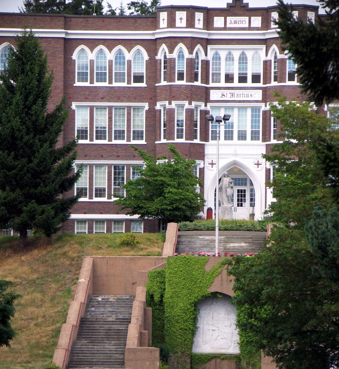
Photo: Wikipedia
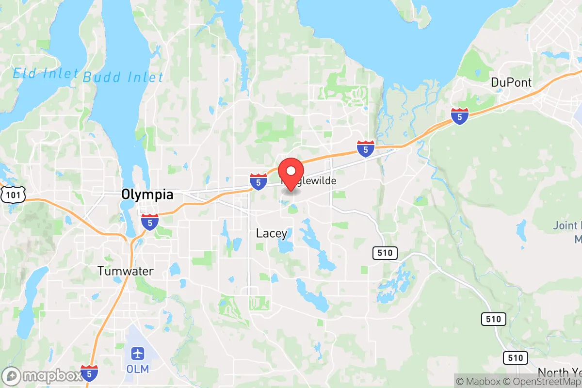
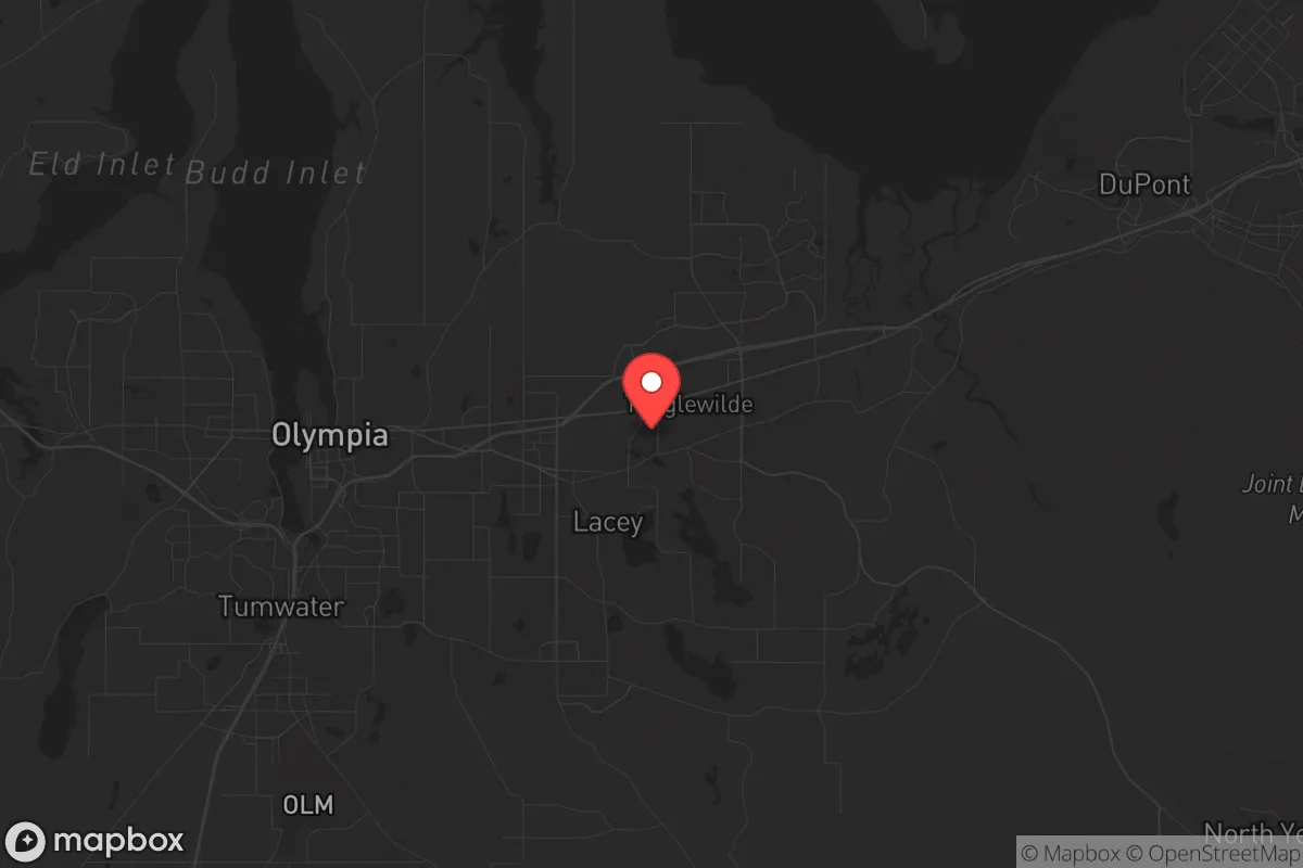
Strategic Assessment of Lacey, WA
Meaningful friction. Expect exposure to either population pressure, blast zones, or natural disaster risk. Consider buying a retreat property.
What does the Strategic Assessment tell us?
Our Strategic Assessment grades tactical survivability of an area. Major population centers, military targets, fallout zones, natural disasters, and border exposure all drive risk — lower exposure means a more defensible position in a crisis.
This is heavily inspired by Joel Skousen's Strategic Relocation book. Highly recommended you checkout the book ($)What does this tell us?
Our Strategic Assessment grades tactical survivability of an area. Major population centers, military targets, fallout zones, natural disasters, and border exposure all drive risk — lower exposure means a more defensible position in a crisis.
This is heavily inspired by Joel Skousen's Strategic Relocation book. Highly recommended you checkout the book ($)Strategic Pillars

Key Distances
Regional Safe Places
Below is our recommended "safe zones" in Washington and the surrounding area based on our strategic heuristics. For most people, it's unrealistic to live in a “safe zone” full-time due to work, family or other personal reasons. They tend to be more rural. However, many of these areas are perfect for second homes and retreat properties that double as a vacation home or even a short-term rental.


Important Note: For informational purposes only. This does not mean nothing bad ever happens in the green zones. Please use common sense. This is based on public data and modeled with AI. We tried to take a conservative approach but mistakes happen. We update this regularly as new information becomes available.
Solar Generator Recommendations
Backup power matters more here than in safer locations. We've picked three solar generators across budgets and capacity tiers — start with the budget unit if you only need a few essentials, or step up if you want to run a fridge and HVAC for days at a time.

Jackery Portable Power Station Explorer 300
Budget OptionPower on the Go: Weighing only 11 lbs, it's convenient to set up and store with book-sized foldable solar panels

BLUETTI Portable Power Station AC180
Designed for both indoor and outdoor scenarios, AC180 is highly capable as it has a robost capacity and continuous output power.

EF ECOFLOW DELTA Pro Ultra Power Station
Upgraded PickEcoFlow DELTA Pro Ultra is a whole-home energy system designed to grow with your family. Integrated with the Smart Home Panel 2, it scales to meet your evolving energy needs — keeping your home powered, intelligent, and secure through every stage of life.
We earn a commission, at no additional cost to you.
Strategic Assessment Analysis
Lacey, Washington, sits in a position that demands a hard, clear-eyed look from anyone serious about long-term resilience. Nestled in Thurston County between the state capital of Olympia and the growing hub of Tacoma, this city of roughly 60,000 offers a mix of suburban stability and access to critical natural resources, but it is not without significant strategic liabilities. For a relocator thinking in terms of decades, not months, Lacey’s real value lies in its proximity to the Pacific Coast and the Cascade Range, balanced against the very real risks of being within the blast radius of a major metropolitan collapse or a Cascadia Subduction Zone event. This analysis strips away the marketing gloss and looks at what Lacey actually offers for someone preparing for civic unrest, supply chain disruptions, or large-scale disasters.
Geographic position and natural advantages for long-term survival
Lacey’s location is a double-edged sword, but the edge that cuts in your favor is its access to the Olympic Peninsula and the Cascade foothills. The city sits just off Interstate 5, the primary north-south artery of the West Coast, which is both a lifeline and a vulnerability. For a prepper, the key advantage is that Lacey is far enough from Seattle (about 60 miles south) to avoid the immediate chaos of a major urban collapse, yet close enough to tap into the region’s abundant freshwater, timber, and marine resources. The Deschutes River runs through the city, and the nearby Nisqually River watershed provides a reliable water source that is less contested than systems closer to Portland or Seattle. The area’s temperate rainforest climate means consistent rainfall—roughly 50 inches annually—which supports year-round food production if you have the land and knowledge to manage it. The proximity to the Olympic National Forest and the Gifford Pinchot National Forest offers vast, sparsely populated areas for retreat, hunting, and foraging, but only if you can reach them before the roads clog. Lacey’s elevation is low (around 180 feet), which reduces the risk of landslides compared to hillier parts of the region, but it also means you are squarely in the tsunami inundation zone if a major quake hits the coast. The real strategic play here is using Lacey as a staging ground—a place to stockpile, build skills, and maintain a low profile while keeping an exit route to the mountains or the coast open.
Risks, exposures, and proximity to fallout-relevant landmarks
The most glaring risk for Lacey is its proximity to Joint Base Lewis-McChord (JBLM), one of the largest military installations on the West Coast, located just 15 miles north. In a scenario involving civil unrest or a foreign conflict, JBLM is a high-value target for both conventional and asymmetric attacks. The base’s presence also means that Lacey sits under the flight path of military aircraft and within the potential fallout zone of any strike on the base. Additionally, the city is only 30 miles from the Puget Sound Naval Shipyard in Bremerton, another strategic asset that could draw fire. For a prepper, this is a non-negotiable liability: you are living in the shadow of a primary target. The Cascadia Subduction Zone earthquake, which geologists estimate has a 37% chance of a magnitude 8.0+ event in the next 50 years, would devastate the entire region. Lacey’s soil is largely alluvial and prone to liquefaction, meaning that even moderate shaking could destroy infrastructure, including the water and sewer systems. The city’s reliance on the Interstate 5 corridor for supply chains means that a single bridge failure (like the Nisqually River bridge) could cut off food and fuel deliveries for weeks. On the political front, Lacey is in Thurston County, which voted 62% for Biden in 2020—a stark contrast to the conservative values many in this audience hold. This political reality means that local governance may prioritize policies (like density mandates or gun control) that conflict with a prepper’s need for privacy, self-sufficiency, and firearm access. The state of Washington’s magazine capacity ban and pending assault weapon restrictions are already in effect, so you must factor in legal constraints on your defensive capabilities.
Practical resilience for a relocator: food, water, energy, and defensibility
For a single individual or family looking to establish a resilient foothold, Lacey offers a mixed bag. Water is the strongest asset: the city’s municipal supply comes from groundwater wells in the Deschutes River aquifer, which is less vulnerable to surface contamination than reservoirs. However, a prolonged power outage would knock out electric pumps, so a private well with a hand pump or a rainwater catchment system is essential. The average lot size in Lacey’s older neighborhoods is around a quarter-acre, which is enough for a substantial garden, but newer developments pack houses on smaller plots, limiting food production. The growing season is long (about 200 frost-free days), and the soil is fertile, but you’ll need to amend it with compost and deal with persistent moisture that encourages fungal diseases. Energy is a weak point: the grid is heavily dependent on hydroelectric power from the Columbia River system, which is vulnerable to both earthquake damage and drought. Solar is viable but requires battery storage to handle the region’s frequent overcast days—expect only 3-4 peak sun hours in winter. Natural gas is available in most of Lacey, but a major quake would rupture lines and create fire hazards. Defensibility is poor in the city itself: Lacey is a typical suburban grid with multiple entry points, no natural chokepoints, and a police force of about 60 officers for a population of 60,000—meaning response times will be long in a crisis. Your best bet is to buy property on the outskirts, near the Thurston County line, where you can establish a perimeter and have buffer space. The local gun culture is present but not dominant; there are a few ranges and gun shops, but you’ll find more like-minded community in rural areas east toward Yelm or south toward Centralia. Food storage is straightforward: Costco and WinCo in nearby Olympia offer bulk goods, but you should plan for a minimum of three months of supplies given the risk of supply chain interruptions from a Cascadia event.
The overall strategic picture for Lacey is one of calculated compromise. It is not a survivalist paradise—the political climate, proximity to military targets, and earthquake risk are serious negatives. But for someone who values access to abundant water, a mild climate for growing food, and a low cost of living relative to Seattle or Portland, it can work as a base of operations if you are willing to invest in hardening your property and building a network of like-minded individuals outside the city limits. The key is to treat Lacey as a hub, not a fortress: use it for its resources and infrastructure, but have a bug-out location in the Cascades or on the Olympic Peninsula ready. If you are looking for a place to ride out the next decade with a reasonable chance of maintaining autonomy and security, Lacey deserves a spot on your short list—but only if you go in with eyes wide open about the trade-offs.
* Values derived from national, state, county, city and local statistics and may differ in a specific area. Last updated: 2026-04-21T10:58:23.000Z
Narrative content on this page is AI-generated and may contain mistakes. Verify any details that matter before acting on them.
ReloMaps may earn a commission from affiliate links at no extra cost to you.