
Photo: Wikipedia
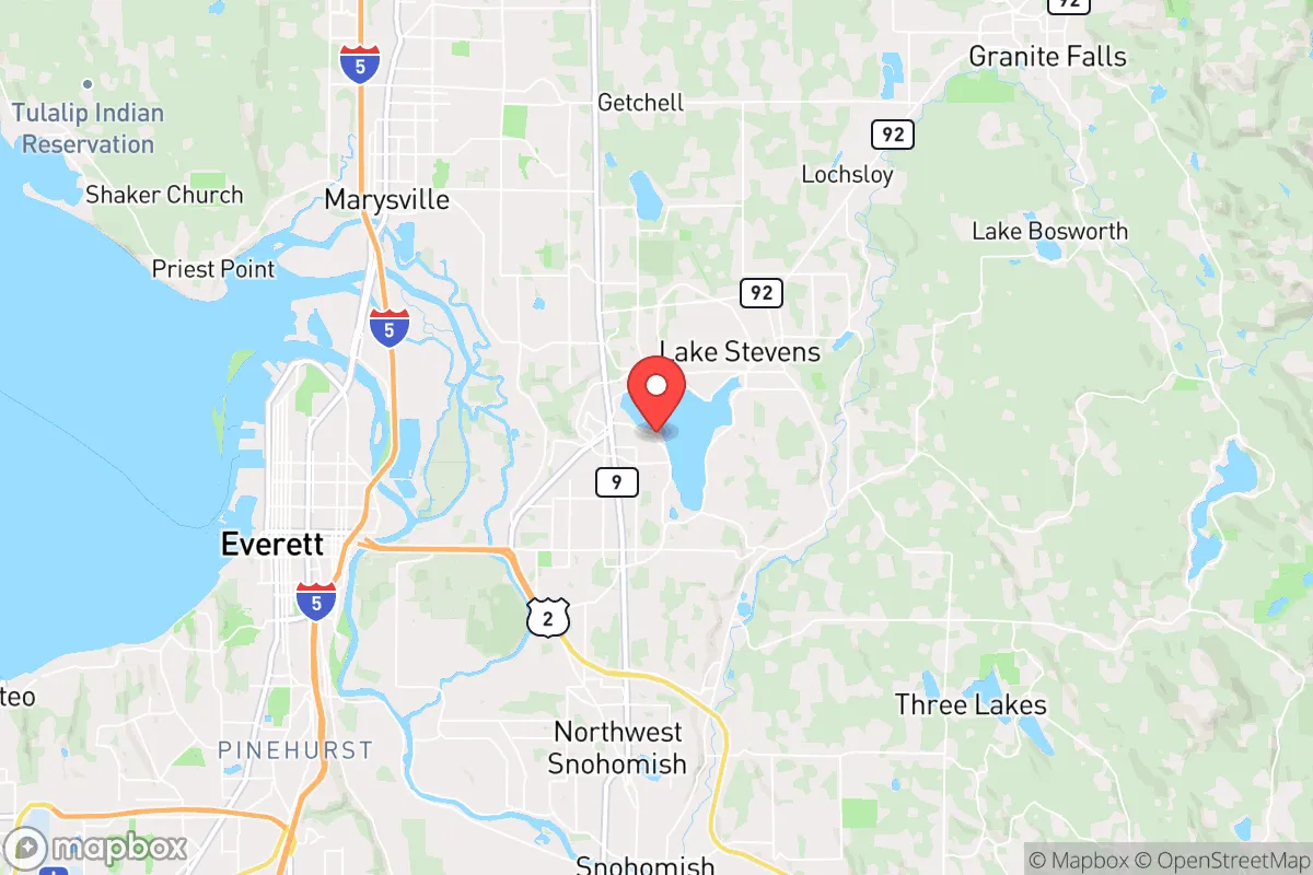
Strategic Assessment of Lake Stevens, WA
Multiple tactical vulnerabilities. Population density, target proximity, or disaster risk are likely compounding. A retreat property and exit planning is required.
What does the Strategic Assessment tell us?
Our Strategic Assessment grades tactical survivability of an area. Major population centers, military targets, fallout zones, natural disasters, and border exposure all drive risk — lower exposure means a more defensible position in a crisis.
This is heavily inspired by Joel Skousen's Strategic Relocation book. Highly recommended you checkout the book ($)What does this tell us?
Our Strategic Assessment grades tactical survivability of an area. Major population centers, military targets, fallout zones, natural disasters, and border exposure all drive risk — lower exposure means a more defensible position in a crisis.
This is heavily inspired by Joel Skousen's Strategic Relocation book. Highly recommended you checkout the book ($)Strategic Pillars

Key Distances
Regional Safe Places
Below is our recommended "safe zones" in Washington and the surrounding area based on our strategic heuristics. For most people, it's unrealistic to live in a “safe zone” full-time due to work, family or other personal reasons. They tend to be more rural. However, many of these areas are perfect for second homes and retreat properties that double as a vacation home or even a short-term rental.


Important Note: For informational purposes only. This does not mean nothing bad ever happens in the green zones. Please use common sense. This is based on public data and modeled with AI. We tried to take a conservative approach but mistakes happen. We update this regularly as new information becomes available.
Solar Generator Recommendations
Backup power matters more here than in safer locations. We've picked three solar generators across budgets and capacity tiers — start with the budget unit if you only need a few essentials, or step up if you want to run a fridge and HVAC for days at a time.

Jackery Portable Power Station Explorer 300
Budget OptionPower on the Go: Weighing only 11 lbs, it's convenient to set up and store with book-sized foldable solar panels

BLUETTI Portable Power Station AC180
Designed for both indoor and outdoor scenarios, AC180 is highly capable as it has a robost capacity and continuous output power.

EF ECOFLOW DELTA Pro Ultra Power Station
Upgraded PickEcoFlow DELTA Pro Ultra is a whole-home energy system designed to grow with your family. Integrated with the Smart Home Panel 2, it scales to meet your evolving energy needs — keeping your home powered, intelligent, and secure through every stage of life.
We earn a commission, at no additional cost to you.
Strategic Assessment Analysis
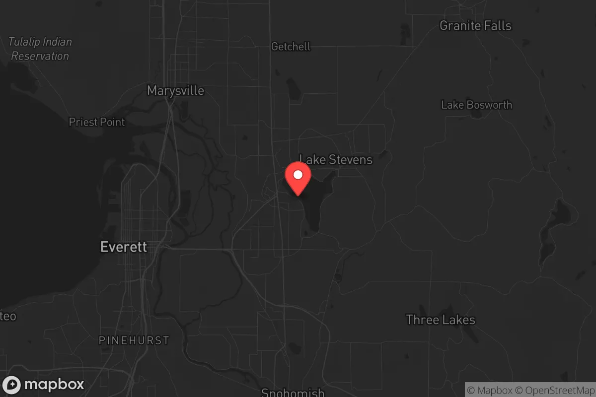
Lake Stevens, Washington, offers a surprisingly resilient strategic position for those prioritizing preparedness, combining the resource abundance of the Pacific Northwest with a buffer from the most immediate fallout zones. Located roughly 35 miles northeast of downtown Seattle and 15 miles east of Everett, this city of roughly 40,000 sits at the edge of the I-5 corridor’s chaos while still being close enough to leverage its infrastructure if needed. For a relocator with a survivalist mindset, the key calculus here is whether the area’s natural advantages—water, defensible terrain, and a lower population density—outweigh the risks of being within striking distance of major metropolitan targets and the Cascadia Subduction Zone.
Geographic position and natural advantages for long-term survival
Lake Stevens’ geography is its strongest card. The city is built around a 1,000-acre natural lake, providing a reliable, non-municipal freshwater source that could sustain a household or small community indefinitely with proper filtration. The surrounding terrain is a mix of forested hills, wetlands, and the foothills of the Cascade Range, offering multiple avenues for retreat, concealment, and off-grid living. The area’s elevation—roughly 200 to 400 feet above sea level—keeps it above most tsunami and storm surge risks from Puget Sound, while the proximity to the Mountain Loop Highway and national forest land (like the Mount Baker-Snoqualmie National Forest) gives a relocator a literal back door into hundreds of thousands of acres of public land. This isn’t flat, exposed farmland; it’s a landscape that naturally channels movement and provides cover. For a prepper, the ability to bug out east into the Cascades or north toward the Skagit Valley is a tangible advantage, especially if the I-5 corridor becomes impassable. The city’s position also places it outside the immediate blast and fallout radius of Naval Station Everett (a high-value target) and Joint Base Lewis-McChord, though the risk isn’t zero—more on that below.
Risks, exposures, and proximity to fallout-relevant landmarks
No strategic assessment is honest without addressing the elephant in the room: Lake Stevens is not remote. It sits roughly 15 miles from Naval Station Everett, home to the USS Nimitz carrier strike group and a nuclear-capable port. In a major conflict scenario, that base is a tier-one target for any adversary, and the fallout plume from a conventional or nuclear strike could easily drift northeast toward Lake Stevens depending on prevailing winds (which are typically from the southwest). The same logic applies to Boeing’s Everett assembly plant (the largest building in the world by volume) and the broader Seattle metro area, which hosts Amazon, Microsoft, and a dense concentration of tech and port infrastructure. A mass casualty event or EMP strike on the West Coast would likely cascade into this region within hours. Additionally, the Cascadia Subduction Zone earthquake—a 9.0+ megathrust event—is a known, recurring threat. Lake Stevens would experience severe shaking, potential liquefaction in low-lying areas near the lake, and a near-certain collapse of the regional power grid and supply chains. The city’s bridges and roadways (including the US-2 trestle and I-5) are vulnerable, meaning evacuation routes could be severed within minutes. For a relocator, the calculus is simple: you’re trading proximity to resources for proximity to risk. The key is whether you can mitigate that risk through preparation and positioning within the area.
Practical resilience for a relocator: food, water, energy, and defensibility
For a family or individual serious about self-sufficiency, Lake Stevens offers a mixed but workable baseline. Water is abundant—the lake itself, plus numerous creeks and groundwater wells in the surrounding unincorporated areas. A property with a well and a backup hand pump is worth a premium here. The growing season is short (roughly May to September) but productive for cold-hardy crops like potatoes, kale, and root vegetables, and the region’s rainfall (around 40 inches annually) means rainwater catchment is viable year-round. The local soil is glacial till—rocky but workable with raised beds. For energy, the Pacific Northwest’s hydroelectric grid is relatively stable, but a Cascadia event would take it down for weeks or months. Solar is marginal here due to cloud cover (especially November through February), so a reliable generator with stored fuel, or a micro-hydro setup on a creek, is a smarter bet. Wood heat is a no-brainer: the surrounding forests provide ample fuel, and many homes already have wood stoves. Defensibility is where Lake Stevens gets interesting. The city itself is suburban—sprawling subdivisions with cul-de-sacs—but the edges (north toward Granite Falls, east toward the mountains) offer rural parcels with natural chokepoints: narrow roads, forested ridges, and limited access. A property on a dead-end road with a view of the valley below gives you both early warning and a defensible perimeter. The local population is a mix of Boeing workers, tradespeople, and retirees—not a high-crime area, but not a hardened community either. Building a mutual assistance network with like-minded neighbors is essential; going it alone here is possible but harder than in more remote parts of the state.
The overall strategic picture for Lake Stevens is one of calculated trade-offs. It is not a bug-out location for a full societal collapse—too close to too many targets, too dependent on fragile infrastructure, and too vulnerable to a major seismic event. But for a relocator who wants to stay within striking distance of the Pacific Northwest’s economic opportunities while maintaining a credible preparedness posture, it works. The water, the terrain, and the access to national forest land give you options that a city like Everett or Lynnwood simply cannot. The risks are real—Naval Station Everett, Boeing, the Seattle metro, and the Cascadia fault are all within a danger radius—but they are manageable with proper planning: a well-stocked pantry, a defensible property on the eastern edge of town, a reliable off-grid power source, and a network of trusted contacts. If you’re looking for a place that balances modern convenience with a realistic survival strategy, Lake Stevens deserves a serious look. Just don’t mistake it for a fortress—it’s a forward operating base, and you need to treat it as such.
* Values derived from national, state, county, city and local statistics and may differ in a specific area. Last updated: 2026-04-21T11:11:48.000Z
Narrative content on this page is AI-generated and may contain mistakes. Verify any details that matter before acting on them.
ReloMaps may earn a commission from affiliate links at no extra cost to you.