
Photo: Wikipedia
Strategic Assessment of Lincoln, NE
Multiple tactical vulnerabilities. Population density, target proximity, or disaster risk are likely compounding. A retreat property and exit planning is required.
What does the Strategic Assessment tell us?
Our Strategic Assessment grades tactical survivability of an area. Major population centers, military targets, fallout zones, natural disasters, and border exposure all drive risk — lower exposure means a more defensible position in a crisis.
This is heavily inspired by Joel Skousen's Strategic Relocation book. Highly recommended you checkout the book ($)What does this tell us?
Our Strategic Assessment grades tactical survivability of an area. Major population centers, military targets, fallout zones, natural disasters, and border exposure all drive risk — lower exposure means a more defensible position in a crisis.
This is heavily inspired by Joel Skousen's Strategic Relocation book. Highly recommended you checkout the book ($)Strategic Pillars

Key Distances
Regional Safe Places
Below is our recommended "safe zones" in Nebraska and the surrounding area based on our strategic heuristics. For most people, it's unrealistic to live in a “safe zone” full-time due to work, family or other personal reasons. They tend to be more rural. However, many of these areas are perfect for second homes and retreat properties that double as a vacation home or even a short-term rental.
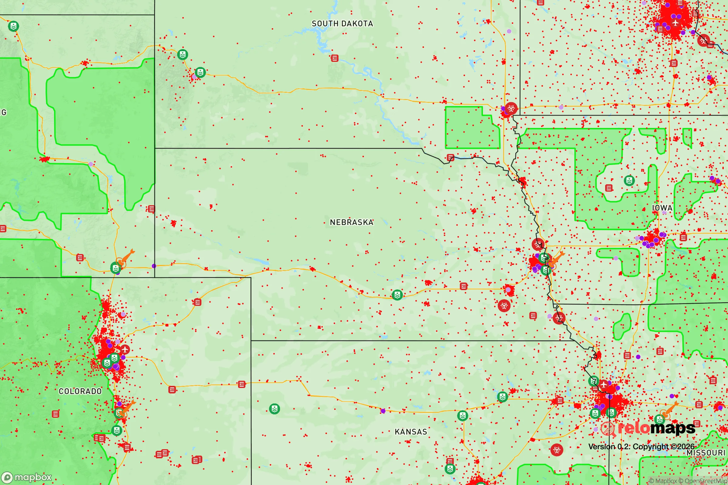
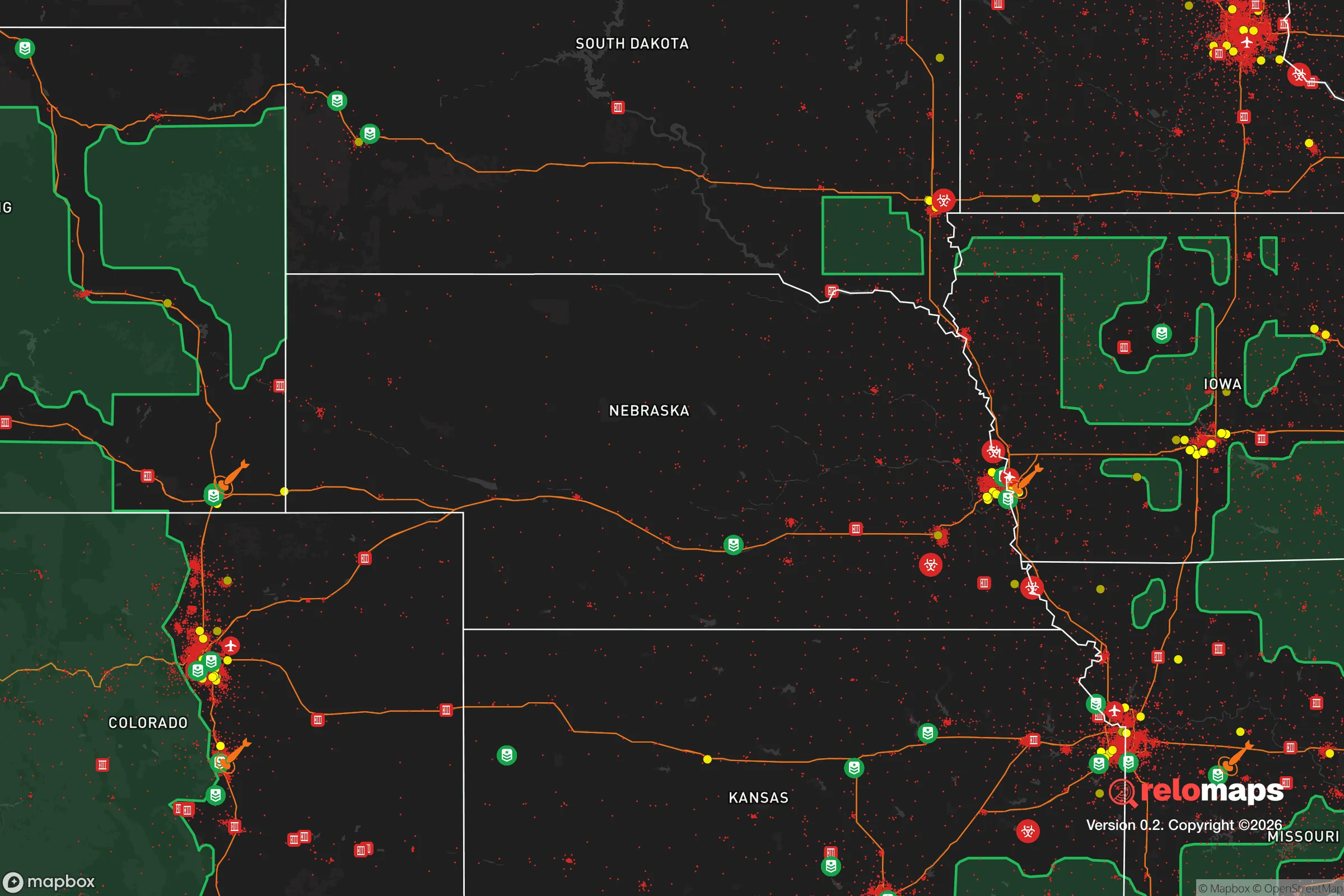
Important Note: For informational purposes only. This does not mean nothing bad ever happens in the green zones. Please use common sense. This is based on public data and modeled with AI. We tried to take a conservative approach but mistakes happen. We update this regularly as new information becomes available.
Solar Generator Recommendations
Backup power matters more here than in safer locations. We've picked three solar generators across budgets and capacity tiers — start with the budget unit if you only need a few essentials, or step up if you want to run a fridge and HVAC for days at a time.

Jackery Portable Power Station Explorer 300
Budget OptionPower on the Go: Weighing only 11 lbs, it's convenient to set up and store with book-sized foldable solar panels

BLUETTI Portable Power Station AC180
Designed for both indoor and outdoor scenarios, AC180 is highly capable as it has a robost capacity and continuous output power.

EF ECOFLOW DELTA Pro Ultra Power Station
Upgraded PickEcoFlow DELTA Pro Ultra is a whole-home energy system designed to grow with your family. Integrated with the Smart Home Panel 2, it scales to meet your evolving energy needs — keeping your home powered, intelligent, and secure through every stage of life.
We earn a commission, at no additional cost to you.
Strategic Assessment Analysis
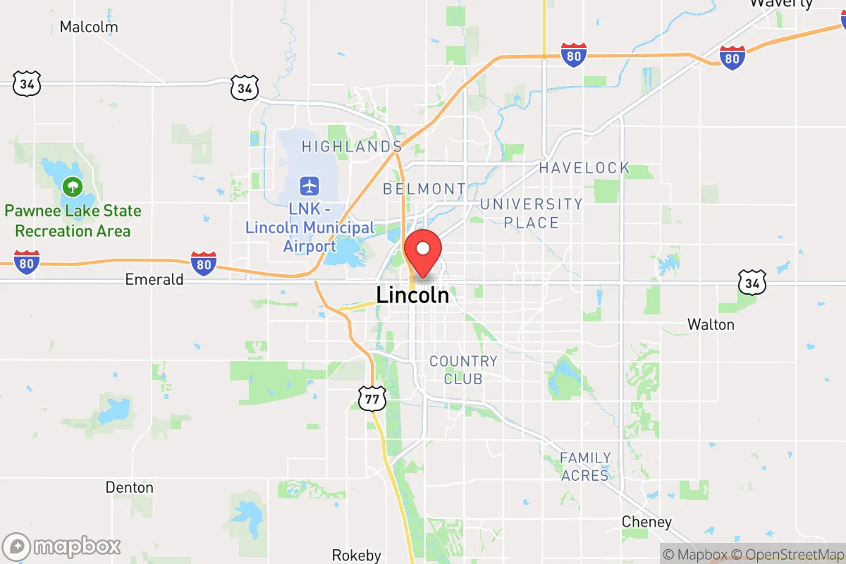
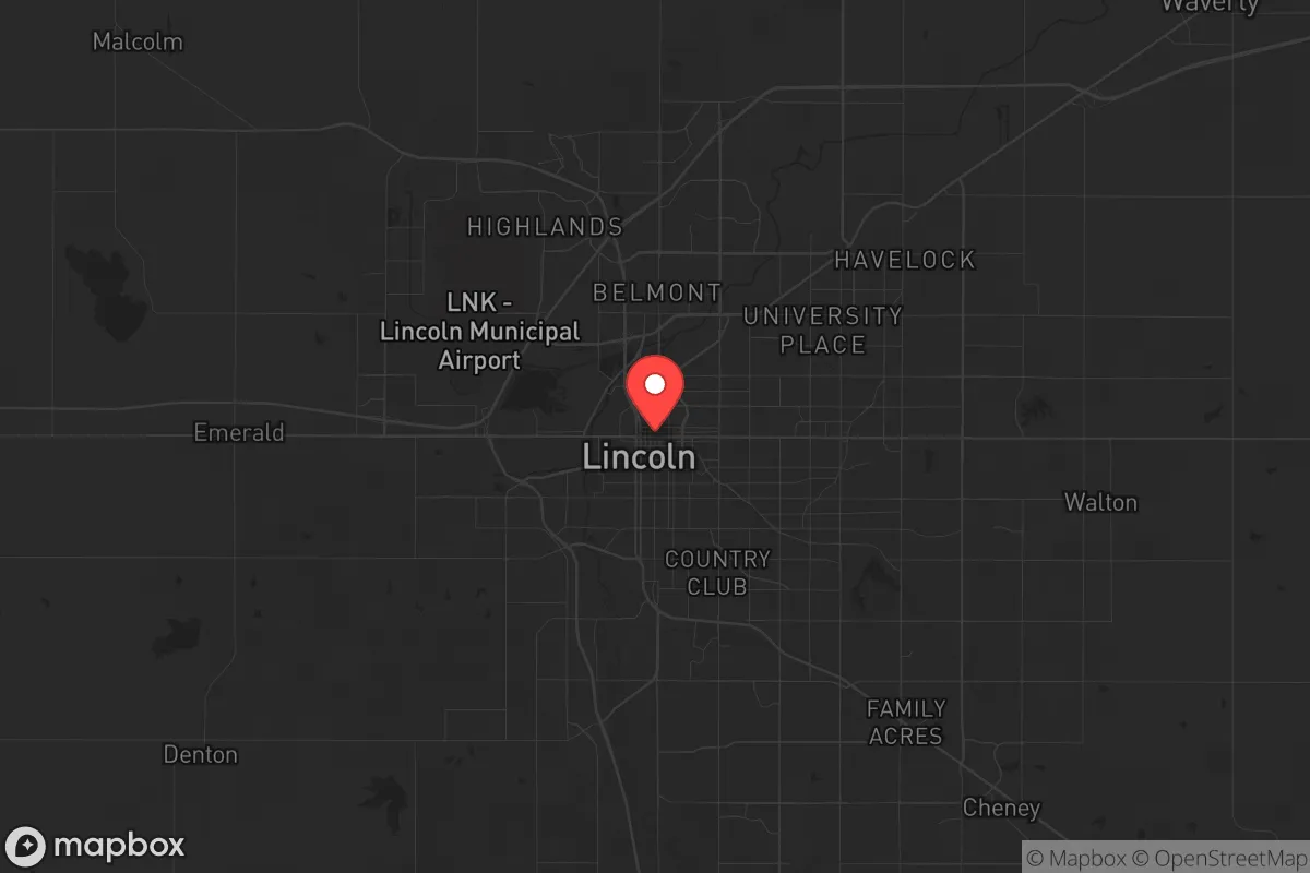
Lincoln, Nebraska, occupies a strategic sweet spot that few relocation analysts fully appreciate: it sits far enough from the nation’s most volatile coastal and border corridors to avoid the worst of cascading infrastructure failures, yet it remains connected enough to sustain supply chains and evacuation routes. The city’s position along the I-80 and I-29 corridors gives residents a direct line to both the Rocky Mountain redoubt and the agricultural heartland, while its distance from major fault lines, hurricane zones, and wildfire-prone terrain removes the most common natural-disaster headaches. For a conservative-leaning relocator thinking in terms of long-term stability, Lincoln offers a rare combination of geographic insulation and functional connectivity that makes it a credible base for weathering the kind of systemic shocks that increasingly define the national landscape.
Geographic position and natural advantages that matter for long-term stability
Lincoln’s location in southeastern Nebraska places it squarely inside the Great Plains grain belt, which means local food production isn’t a theoretical backup plan—it’s the dominant economic reality. The city sits on the Salt Creek watershed, part of the Platte River system, giving it access to one of the most reliable surface-water networks in the central United States. The Ogallala Aquifer, while primarily tapped further west, still influences regional water security, and Nebraska’s groundwater management is among the most conservative in the country, with strict allocation laws that prevent the kind of depletion seen in the High Plains further south. Elevation is modest—around 1,200 feet—but the terrain is gently rolling, not flood-prone in the way that river-bottom towns are, and the soil is deep, fertile loess that supports year-round crop rotation. Winters are cold enough to suppress most insect-borne diseases and slow the spread of biological contaminants, while summers are hot enough to support solar generation without the extreme heat events that plague the Southwest. The nearest active seismic zone is the New Madrid fault, over 400 miles away, and the nearest hurricane landfall zone is the Gulf Coast, over 600 miles away. For a prepper mindset, that kind of natural buffer is worth more than any single piece of gear.
Risks, exposures, and proximity to fallout-relevant landmarks
The most significant strategic liability for Lincoln is its proximity to Offutt Air Force Base, located roughly 50 miles northeast in Bellevue. Offutt is the headquarters of U.S. Strategic Command (STRATCOM) and a major nuclear command-and-control node. In a full-scale conflict scenario, that facility is a high-priority target, and Lincoln sits close enough to experience secondary effects—electromagnetic pulse disruption, fallout drift, or ground-zero infrastructure collapse—if a strike were to occur. The city is also within 200 miles of the Kansas City metropolitan area, which hosts major transportation and logistics hubs that could become chokepoints during civil unrest or supply-chain breakdowns. On the positive side, Lincoln is not directly adjacent to any major military industrial complex, nuclear power plant, or petrochemical refinery. The nearest nuclear plant is Fort Calhoun, about 60 miles northeast, but it has been decommissioned since 2016, removing one potential radiological hazard. The city’s distance from the East and West Coast population centers—over 1,200 miles from Washington D.C. and over 1,500 miles from Los Angeles—means it is unlikely to experience the direct fallout of coastal unrest, port shutdowns, or mass evacuation flows. The primary risk is not direct attack but rather the ripple effects of a national crisis that overwhelms the region’s infrastructure capacity, particularly if STRATCOM operations trigger secondary disruptions.
Practical resilience for a relocator: food, water, energy, and defensibility
For a single individual or family looking to establish a resilient household, Lincoln’s practical assets are substantial. The city is surrounded by some of the most productive agricultural land in the world—Lancaster County alone produces over $200 million in corn and soybean output annually, and the local farmers’ market network operates year-round through indoor winter markets. Water access is straightforward: the city draws from the Platte River alluvial aquifer, and well-drilling is permitted in unincorporated areas of the county with reasonable permitting costs. Energy infrastructure is dominated by Lincoln Electric System, a municipal utility that maintains a diverse generation portfolio including coal, natural gas, wind, and solar. The city has invested in microgrid pilot projects and backup generation for critical facilities, though the grid as a whole remains tied to the regional Southwest Power Pool, which has experienced rolling blackouts during extreme winter events (notably February 2021). A relocator should plan for at least a week of off-grid energy capacity, but the municipal utility’s reliability record is above average for the Midwest. Defensibility is where Lincoln shines for the prepper mindset: the city is compact enough that a determined resident can know the major ingress and egress routes—I-80, U.S. 77, and Nebraska Highway 2—without needing to memorize a sprawling metro area. The surrounding countryside offers numerous rural parcels within a 20-minute drive of downtown, where a family can establish a homestead with enough acreage for gardens, livestock, and rainwater catchment while still maintaining access to city hospitals and supply stores. The local gun culture is robust but not extreme; Lancaster County issues concealed-carry permits with reasonable requirements, and there are multiple indoor and outdoor ranges within a 30-minute drive. The county sheriff’s office maintains a conservative posture on self-defense law, and Nebraska is a Castle Doctrine state with no duty to retreat in one’s home or vehicle.
The overall strategic picture for Lincoln is one of calculated trade-offs rather than pure sanctuary. It lacks the absolute isolation of a mountain redoubt or the self-sufficiency of a remote off-grid homestead, but it compensates with genuine agricultural abundance, stable water resources, and a municipal infrastructure that has not yet been overwhelmed by population growth or political dysfunction. The proximity to STRATCOM is a real concern that cannot be dismissed, but for a relocator who is willing to maintain a go-bag and a rural retreat option within a 50-mile radius, the risk is manageable. Lincoln’s conservative-leaning political culture—Lancaster County voted +12 R in the 2024 presidential race, and the state legislature is reliably conservative—means that local governance is unlikely to impose the kind of restrictive policies that drive preppers out of blue-state metros. For a single individual or family who wants to be prepared without living in a bunker, Lincoln offers a credible middle path: close enough to civilization to function, far enough from the chaos to survive it.
* Values derived from national, state, county, city and local statistics and may differ in a specific area. Last updated: 2026-04-15T23:39:09.000Z
Narrative content on this page is AI-generated and may contain mistakes. Verify any details that matter before acting on them.
ReloMaps may earn a commission from affiliate links at no extra cost to you.