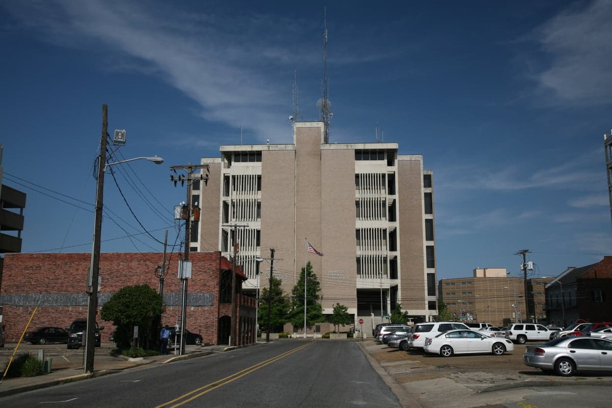
Photo: Wikipedia
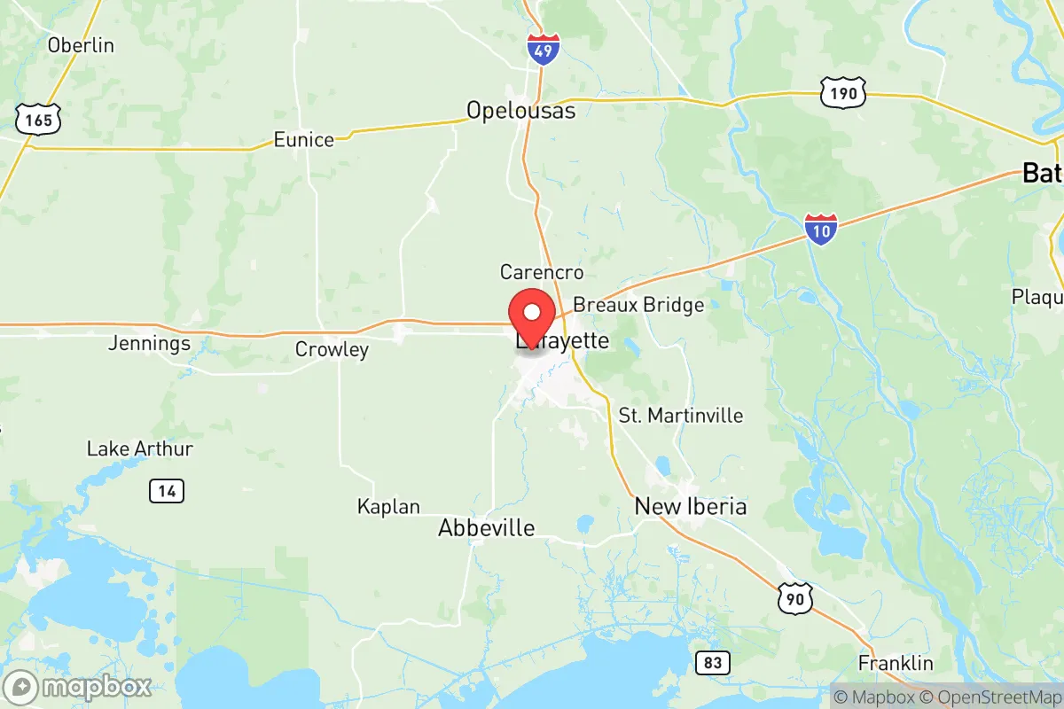
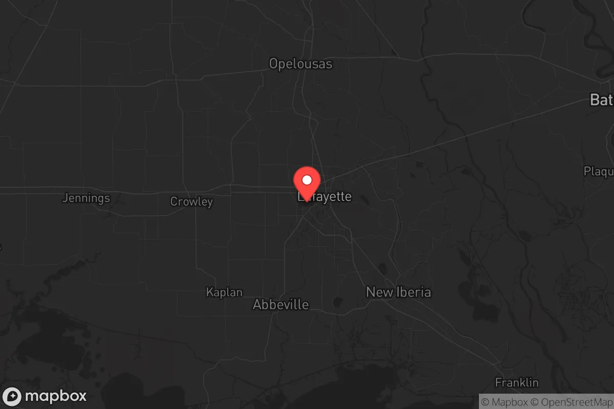
Strategic Assessment of Lafayette County
Meaningful friction. Expect exposure to either population pressure, blast zones, or natural disaster risk. Consider buying a retreat property.
What does the Strategic Assessment tell us?
Our Strategic Assessment grades tactical survivability of an area. Major population centers, military targets, fallout zones, natural disasters, and border exposure all drive risk — lower exposure means a more defensible position in a crisis.
This is heavily inspired by Joel Skousen's Strategic Relocation book. Highly recommended you checkout the book ($)What does this tell us?
Our Strategic Assessment grades tactical survivability of an area. Major population centers, military targets, fallout zones, natural disasters, and border exposure all drive risk — lower exposure means a more defensible position in a crisis.
This is heavily inspired by Joel Skousen's Strategic Relocation book. Highly recommended you checkout the book ($)Strategic Pillars

Key Distances
Strategic Assessment Analysis
Lafayette Parish, the heart of Cajun Country, offers a compelling mix of geographic isolation and resource abundance that appeals to those prioritizing long-term resilience over urban convenience. Tucked between Houston and New Orleans along the I-10 corridor, it sits far enough from the major metropolitan blast zones to provide a buffer, yet close enough to monitor national events. The region’s history of self-reliance—forged by hurricanes, floods, and the oil busts—has produced a population that values practical skills, community defense, and staying off the federal grid when possible.
Geographic position and natural advantages
Lafayette Parish lies within the Acadiana region, a network of bayous, swamps, and fertile prairies that create natural barriers against mass movement. To the south, the Atchafalaya Basin and Vermilion Bay provide wetlands that are difficult to traverse, effectively limiting unwanted foot traffic from coastal evacuation routes. To the north and west, agricultural land and crawfish farms offer open space for surveillance and small-scale agriculture. The towns of Broussard, Youngsville, and Scott form a southern crescent of lower-density development where a relocator can find acreage without being inside the Lafayette city limits. The climate—humid subtropical with a long growing season—allows for year-round gardening, and the region’s abundant rainfall (averaging 60 inches per year) feeds shallow aquifers that can supply wells even in moderate drought. Proximity to the I-10 and US 91 corridors is a double-edged sword, but for a prepared family these provide routes to inland markets (Lake Charles, Alexandria) without relying on a single chokepoint.
Risks, exposures, and proximity to fallout-relevant landmarks
The same industrial activity that built Lafayette’s economy also creates target liability. The Louisiana Chemical Corridor along the Mississippi River between Baton Rouge and New Orleans hosts the nation’s largest concentration of petrochemical plants, including ExxonMobil’s Baton Rouge Refinery and the Port of South Louisiana—prime candidates for kinetic or cyber disruption in a national crisis. While Lafayette Parish is 60 miles west of this corridor, prevailing winds in a typical weather pattern carry fallout east or northeast, away from the parish. More locally, the oil-and-gas fields of Vermilion Bay and the Port of Iberia handle crude and chemical shipments; a strike or spill at either could contaminate water sources. The Fort Johnson (formerly Fort Polk) military base near Leesville sits about 90 minutes northwest—a strategic asset but also a potential flashpoint if civil unrest draws federal forces. Hurricane risk is real: Lafayette is inland enough to avoid storm surge, but Hurricane Laura (2020) and Hurricane Ida (2021) demonstrated that wind damage and extended power outages are routine. Flooding from the Atchafalaya and Vermilion Rivers is manageable with elevation mapping; Scott and Carencro are generally higher than the southern reaches. For a relocator, the key worry is being downwind of the chemical corridor during a major incident—though it’s far less acute than living inside Baton Rouge or New Orleans.
Practical resilience for a relocator: food, water, energy, defensibility
Water is the strongest asset here. The Sparta Aquifer underlies much of the parish and supplies many rural wells at depths of 200–300 feet. Surface water from bayous and the Atchafalaya can be filtered with basic attention to agricultural runoff. Food resilience is high: local farms grow rice, soybeans, sugarcane, and sweet potatoes, and the abundant crawfish and catfish populations provide year-round protein. All three of Broussard’s farmers’ markets operate weekly, and hunting in the Atchafalaya National Wildlife Refuge offers deer, squirrel, and waterfowl. Energy security is a mixed bag. Lafayette’s natural gas grid is robust—many homes use gas for heating and cooking—but electrical reliability is poor during storms. A propane tank, a few solar panels, and a backup generator are standard equipment for locals. Defensibility is where the area shows trade-offs. The terrain is flat and open, with no topographic high ground to control. However, the network of bayous and canals creates natural funnels; rural properties with a single access road can be hardened with basic perimeter awareness. Parish law enforcement is present but thin in the unincorporated areas; a group of neighbors who share radio frequencies and a common watch schedule is the norm among the prepper community in Youngsville and Carencro. Avoid clusters of rental housing near the university (UL Lafayette) during unrest, as those can become targets for looting if supply chains falter.
Overall, Lafayette Parish offers a balanced strategic picture for the relocator who wants to stay functional during prolonged disruption. It is not a remote bunker location—no place in the Gulf South is—but it provides abundant fresh water, fertile soil, and a human network that values preparedness over politics. The risks from industrial fallout and hurricanes are real and require a solid water filtration plan and a generator, but the absence of a high-density urban core directly overhead means a family can live here without being a first-mover in a crisis. For the single individual or parent who wants to maintain a career in oil, healthcare, or remote work while building a compound that can weather the next decade, Lafayette Parish is a viable anchor point—especially if they choose the western or northern edges of the parish, away from the bayou floodplains and closer to the prairie.
* Values derived from national, state, county, city and local statistics and may differ in a specific area. Last updated: 2026-06-01T13:32:38.000Z
Narrative content on this page is AI-generated and may contain mistakes. Verify any details that matter before acting on them.
ReloMaps may earn a commission from affiliate links at no extra cost to you.