
Photo: Wikipedia
Strategic Assessment of Ouachita County
Workable tactical position. Some exposure to population density or targets, but generally defensible in a crisis.
What does the Strategic Assessment tell us?
Our Strategic Assessment grades tactical survivability of an area. Major population centers, military targets, fallout zones, natural disasters, and border exposure all drive risk — lower exposure means a more defensible position in a crisis.
This is heavily inspired by Joel Skousen's Strategic Relocation book. Highly recommended you checkout the book ($)What does this tell us?
Our Strategic Assessment grades tactical survivability of an area. Major population centers, military targets, fallout zones, natural disasters, and border exposure all drive risk — lower exposure means a more defensible position in a crisis.
This is heavily inspired by Joel Skousen's Strategic Relocation book. Highly recommended you checkout the book ($)Strategic Pillars

Key Distances
Strategic Assessment Analysis
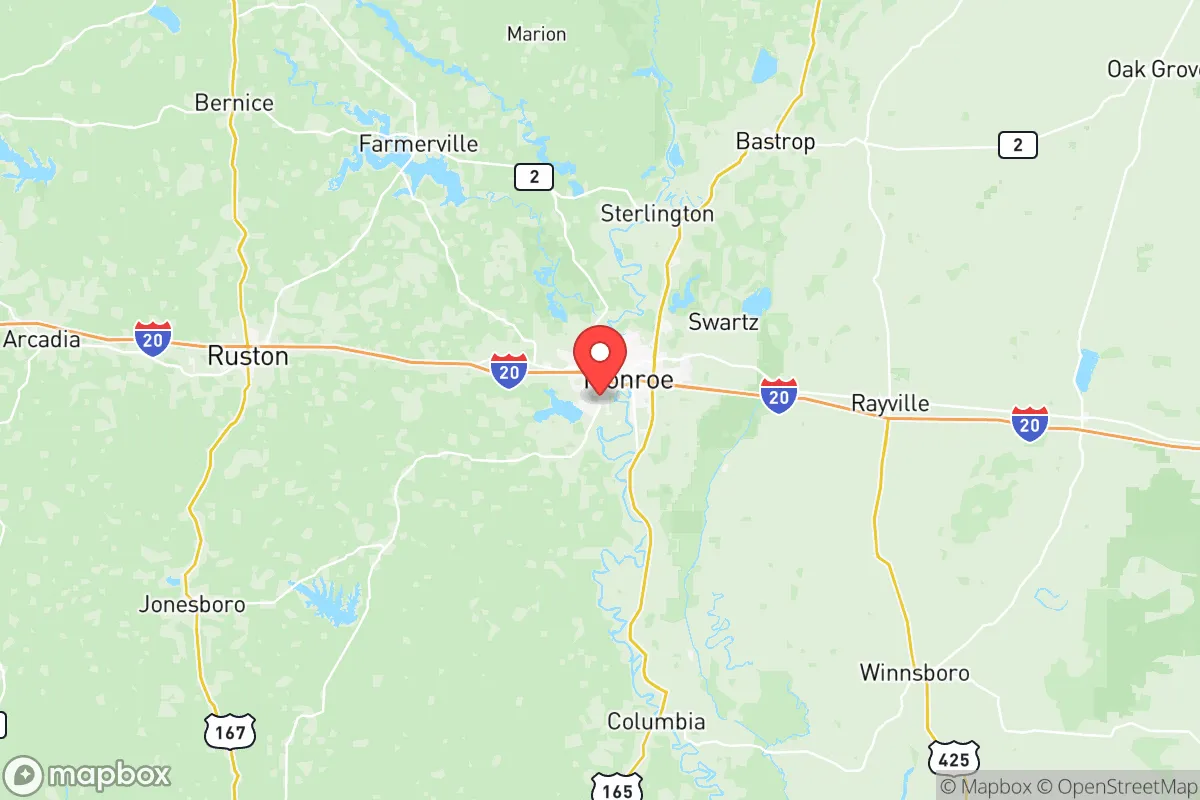
If you're looking for a relocation spot that keeps you off the major target lists but still within striking distance of resources, Ouachita Parish (often referred to as Ouachita County) deserves a hard look. Nestled in north-central Louisiana, this area offers a blend of deep woods, river access, and a spread-out population that makes it a solid candidate for long-term resilience. The parish seat of Monroe and its twin city West Monroe form a modest urban core of about 60,000 people, but the real strategic value lies in the surrounding rural countryside — places like Sterlington, Calhoun, and the communities along the Ouachita River. You're far enough from the hurricane coast, the refinery cluster of Baton Rouge, and the metro madness of Dallas and Houston to avoid the immediate crush of any major disaster, yet close enough to Interstate 20 to move supplies or bug out if needed. This isn't paradise, but it's a practical base for someone thinking seriously about self-sufficiency and security.
Geographic position and natural advantages – woodlands, waterways, and low population density
Ouachita Parish sits at the southern edge of the Ouachita Mountains foothills, which means the terrain is a mix of piney woods, gently rolling hills, and bottomland along the Ouachita River and its tributaries. That river is your primary water source: it's a perennial, significantly sized waterway that flows into the Mississippi via the Red River, giving you both a reliable water supply and a potential transportation corridor if roads become impassable. The parish's population density is roughly 70 people per square mile, and once you get outside of Monroe and West Monroe, that number drops fast. The towns of Sterlington (population ~1,900) and Calhoun (~600) offer the kind of rural quiet where you can own acreage without neighbors peering into your business. The Black Bayou Lake National Wildlife Refuge provides a protected green space that could serve as a backup water source and game habitat. Climatically, you're in a humid subtropical zone with mild winters and long growing seasons — excellent for year-round gardening and raising livestock. The threat of hurricanes is real but mitigated by the distance inland (about 100 miles from the Gulf); typically you're looking at tropical storm winds and flooding, not the catastrophic surge that hits the coast. For a prepper, the ability to grow food, access timber for building, and rely on surface water makes this one of the more naturally self-sufficient regions in the lower South.
Risks and exposures – industrial targets, military neighbors, and fallout pathways
No strategic assessment is honest without facing the dangers, and Ouachita has its share. The most obvious risk is the Georgia-Pacific paper mill in West Monroe, a massive industrial complex that uses chemicals like chlorine dioxide and sodium hydroxide. An accident or a targeted attack on that facility could release toxic clouds or cause fires that would contaminate the area downwind. Also, the Monroe Regional Airport is classified as a joint-use military facility (the Louisiana Air National Guard's 236th Combat Communications Squadron operates there), which puts a potential military target in your backyard — any conflict that draws in US forces could elevate that site's risk. Then there's the proximity to major military infrastructure: Barksdale Air Force Base (home to the B-52 bomber fleet) is just 80 miles west in Shreveport, and Fort Polk is about 120 miles south. Both are high-value targets in a large-scale conflict, and fallout plumes from a strike on either could drift into Ouachita Parish depending on wind direction. Furthermore, the Mississippi River corridor, running 60–80 miles east, is lined with petrochemical refineries and the River Bend Nuclear Station near St. Francisville. A nuclear meltdown or sabotage at that plant would put the parish in the outer contamination zone. On the plus side, Ouachita itself has no nuclear sites, no major refineries, and no massive population centers that would attract a direct strike in a first-wave scenario. You're not in the bullseye, but you're in the near miss zone — which means you need to prepare for fallout from adjacent targets, especially from Barksdale and the Mississippi chemical corridor. Flooding from the Ouachita River after heavy rain or a hurricane remnant is also a recurring hazard; check flood maps before buying any low-lying property near the river or its tributaries like Bayou Desiard.
Practical resilience – securing food, water, energy, and defensible property
Water is abundant here, which alone sets this apart from dryer retreat areas. The Ouachita River and its watershed provide year-round surface water, but you'll need a good filtration system — think Berkey type or a sand filter — to handle sediment and runoff after heavy storms. Groundwater wells are common in the rural parts of the parish; the Sparta Aquifer underlies the region and produces clean water at reasonable depths (100–300 feet). Installing a well and
* Values derived from national, state, county, city and local statistics and may differ in a specific area. Last updated: 2026-05-28T04:05:08.000Z
Narrative content on this page is AI-generated and may contain mistakes. Verify any details that matter before acting on them.
ReloMaps may earn a commission from affiliate links at no extra cost to you.